Parking
Start at the Broken Arch trailhead by Devils Garden Campground. This mapped loop begins at the campground access, not the separate Sand Dune Arch parking area. Parking capacity and any lot fee are not confirmed.
Arches National Park, UT
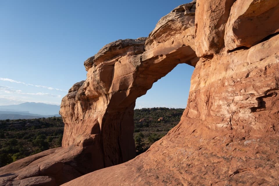
Open meadow, a sandstone arch, and a scrambly return through fins.
Overview
Map & elevation
Plan your hike

The highest, rockiest slopes around here are a summer buffet for grizzly bears.
Arches Tour Guide
Parkwolf is a GPS audio tour guide for Arches National Park. As you drive, it chimes in with what’s ahead: hidden gems, upcoming stops, history, geology, and wildlife, right through your car’s speakers.
See the Arches audio tourRecorded for this area
Devils Garden Campground and Tapestry Arch“You’re nearing Devils Garden Campground, the park’s only campground, tucked among sandstone fins. Treat it as a planned overnight; sites usually fill in the busy season, and there are no showers, hookups or camp store.”
Plays on the road 0.2 mi from the trailhead in the Parkwolf Arches Tour Guide.
More stories near here in the app
“I can’t believe how helpful this app is and how interesting the information is for each highlight along the Arches Scenic Drive! This is the first park I’ve used it in.”


Trail guide
Start at the Broken Arch trailhead by Devils Garden Campground and allow about one hour. The mapped route is a 1.4-mile loop total: cross open grassland to Broken Arch, pass beneath it, then return through the campground and sandstone fins. The return includes moderate scrambling over sand, bedrock, rock ledges, boulders and steps; this loop is not wheelchair accessible.
Published loop mileages conflict: one trail description lists 2.3 miles, while the park's mobility guide lists 1.4 miles. The stored campground loop measures 1.46 miles and follows the shorter figure. The longer figure may describe a different route variant; check signs at the trailhead if distance matters.
The separate approach from Sand Dune Arch parking crosses broad grassland with sand and bedrock underfoot and little shade. If you want the simpler option, the direct walk to Broken Arch and back on the same path is listed at 1.2 miles roundtrip. Continuing through the arch takes a different return through the campground-side terrain.
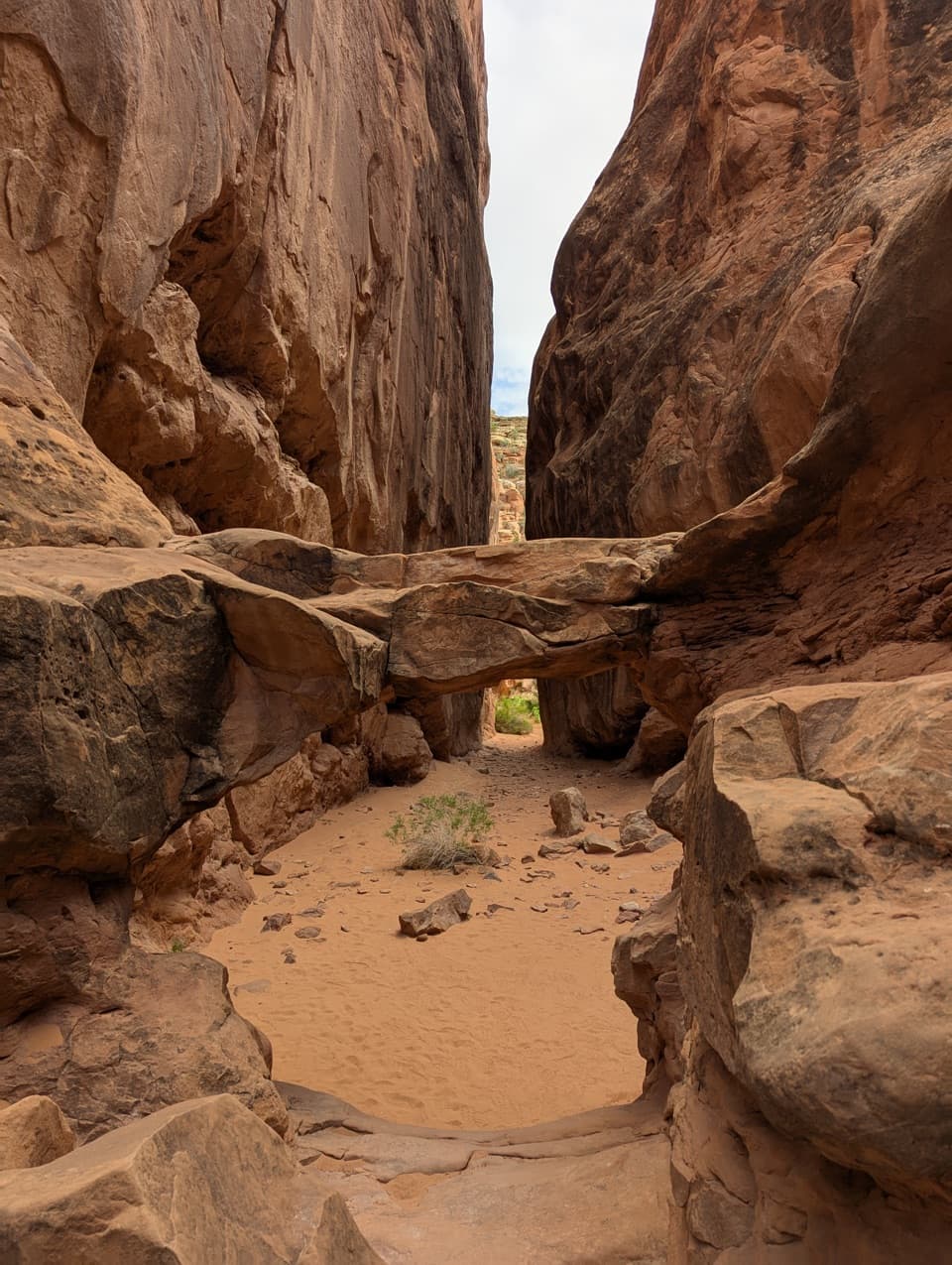
The central crack gives the span its name, but Broken Arch is still intact. Walk beneath it, then look north for the La Sal Mountains beyond the arch. The campground-side return bends through sandstone fins and sandy ground; some visitors find the markings hard to follow and the scrambling more involved than the approach. Tapestry Arch is a separate optional spur and is not part of this mapped loop.
Dogs are not allowed; service animals are permitted. The mapped loop starts at the campground access; the Sand Dune Arch parking area serves a separate approach. Lot capacity and parking fees are not confirmed. Toilets, drinking water and food service at the trailhead or on the route were not found in the consulted park information.
Wildlife
 14 sightingsBighorn SheepMost seen around 7 AMSighting map
 10 sightingsPronghornMost seen around 7 AMSighting map
 608 sightingsRavenMost seen around 9 AMSighting map
 187 sightingsMule DeerMost seen around 7 PMSighting map
 51 sightingsPrairie DogMost seen around 8 AMSighting map
 15 sightingsCoyoteMost seen around 6 AMSighting map
Sighting maps show where each species has been reported across Arches. Wildlife moves, so no sighting is guaranteed.
Keep exploring
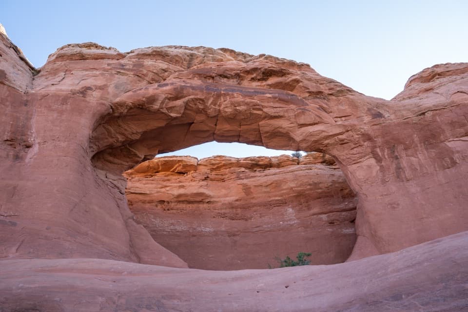 EasyTapestry Arch Trail0.7 mi · 30 min · At the trailheadA short sandy walk to a striking arch with three openings.
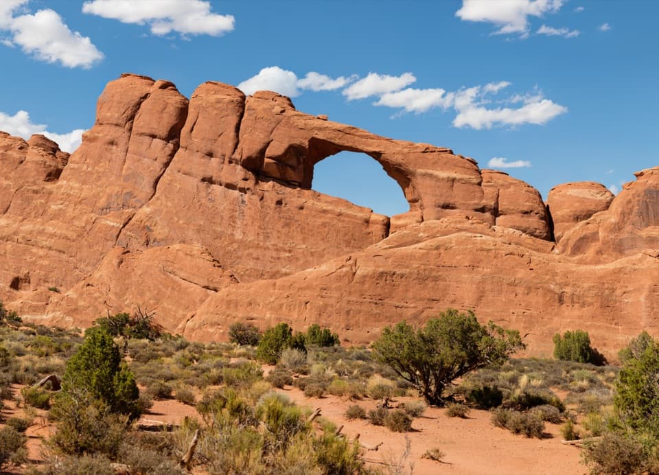 EasySkyline Arch Trail0.4 mi · 20 min · 0.3 mi awayA 1940 rockfall doubled the arch; its debris still lies below.
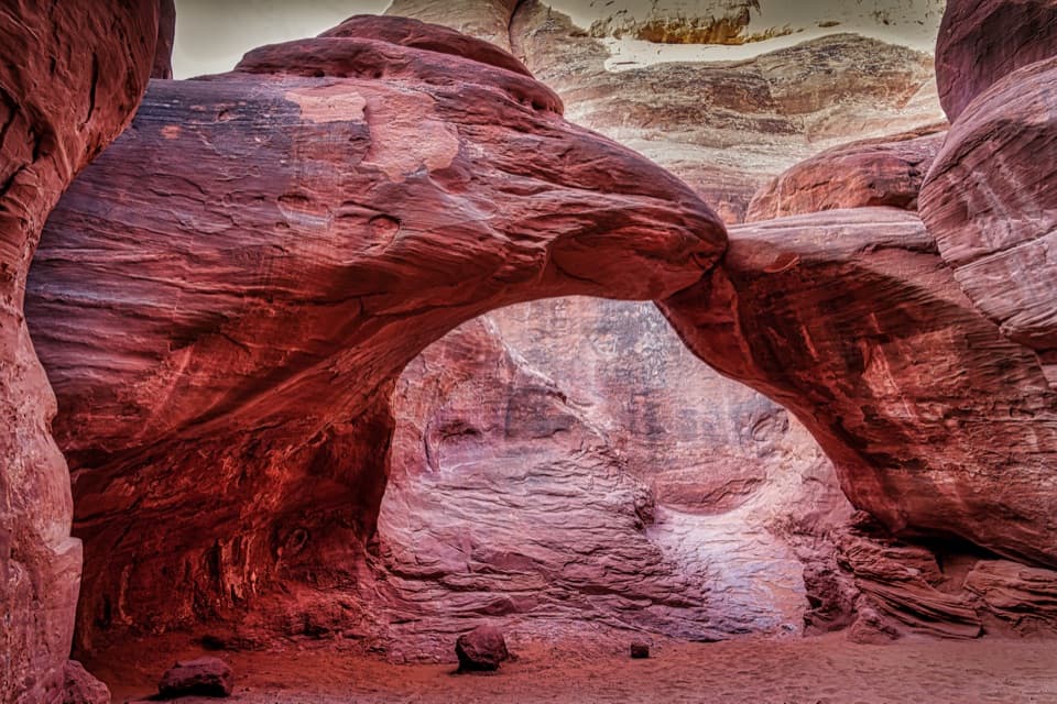 EasySand Dune Arch Trail0.4 mi · 20 min · 0.7 mi awayDeep sand and a shaded arch tucked between the fins.
 EasyPine Tree and Tunnel Arches Trail1 mi · 45 min · 0.7 mi awayTwo easy arch detours through sandstone fins.
 EasyLandscape Arch Trail1.9 mi · 1.3 hr · 0.7 mi awayA short walk to a sandstone span that looks impossibly thin.
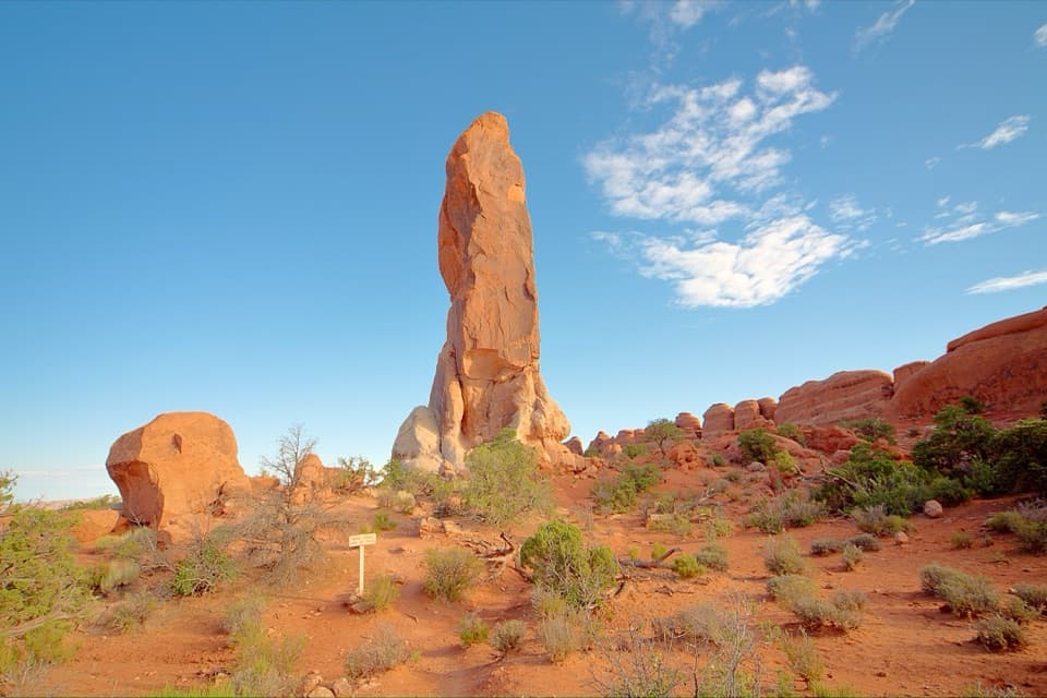 ChallengingDark Angel Trail4.9 mi · 3 hr · 0.7 mi awayA long, scrambly walk to a solitary sandstone spire.
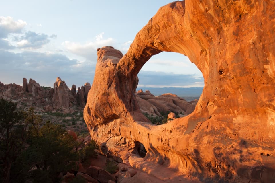 ChallengingDevils Garden Trail7.9 mi · 5 hr · 0.7 mi awaySeven arches, a dark spire, and a rough Primitive Trail return.
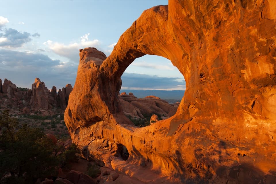 ChallengingDouble O Arch Trail4.1 mi · 2.5 hr · 0.7 mi awayA rocky climb past Landscape Arch to two stacked openings.Sight · 0.2 mi awaySkyline ArchA quick stop for an arch reshaped by a 1940 rockfall.
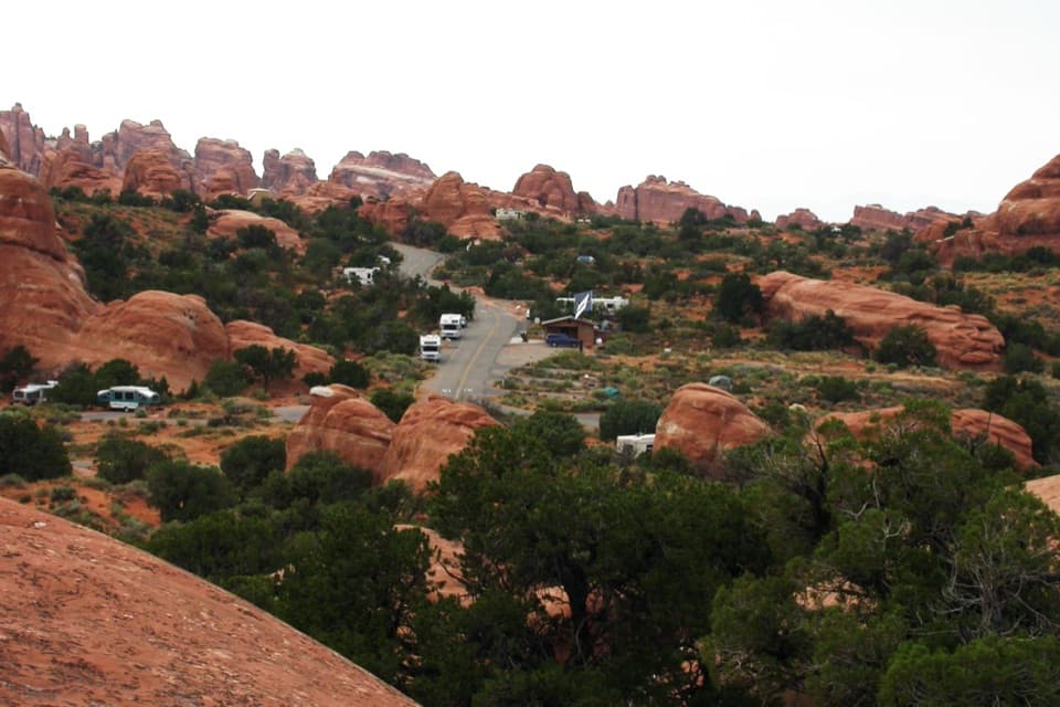 Campground · 0.2 mi awayDevils Garden CampgroundCamp among the sandstone fins, with arches close by.
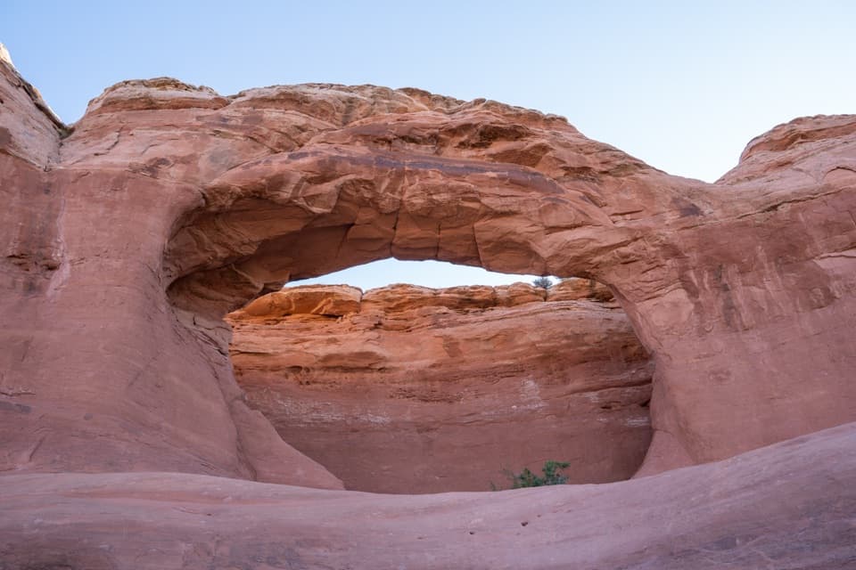 Sight · 0.3 mi awayTapestry ArchA quieter arch spur with one opening and two shallow false arches.
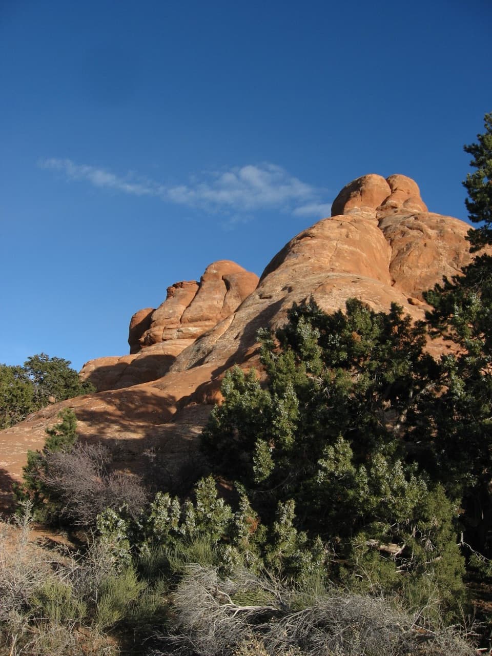 Picnic area · 0.5 mi awayDevils Garden Picnic AreaA handy meal stop among sandstone fins at road’s end.
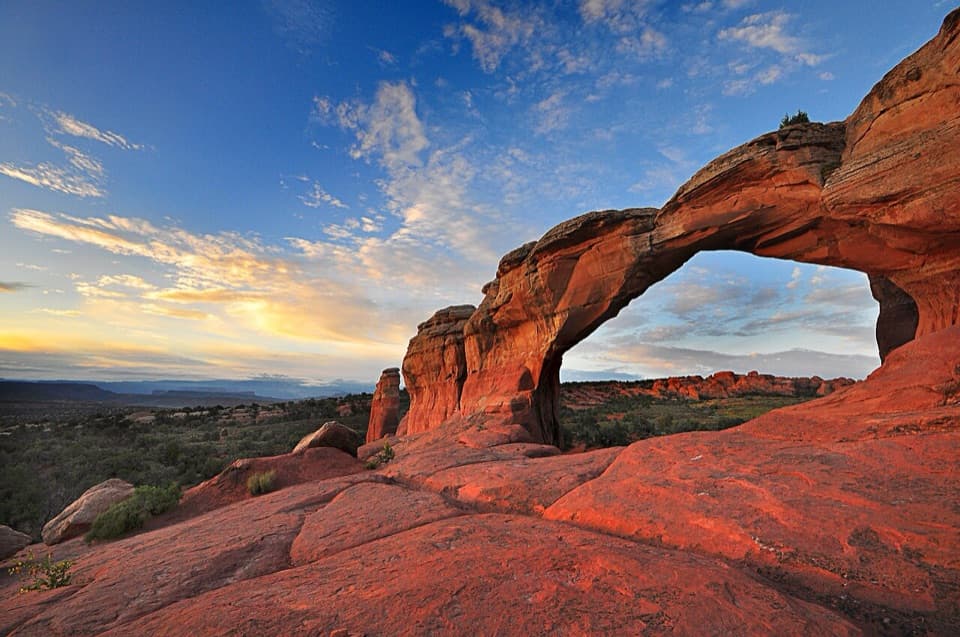 Sight · 0.5 mi awayBroken ArchAn easy arch walk with a rougher campground loop beyond it.
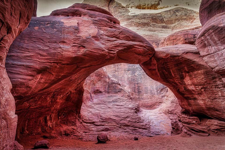 Sight · 0.8 mi awaySand Dune ArchA shaded sandstone arch hidden beyond a short sandy slot.
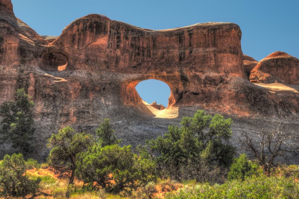 Sight · 0.9 mi awayTunnel ArchA quick Devils Garden detour for a window in the sandstone.
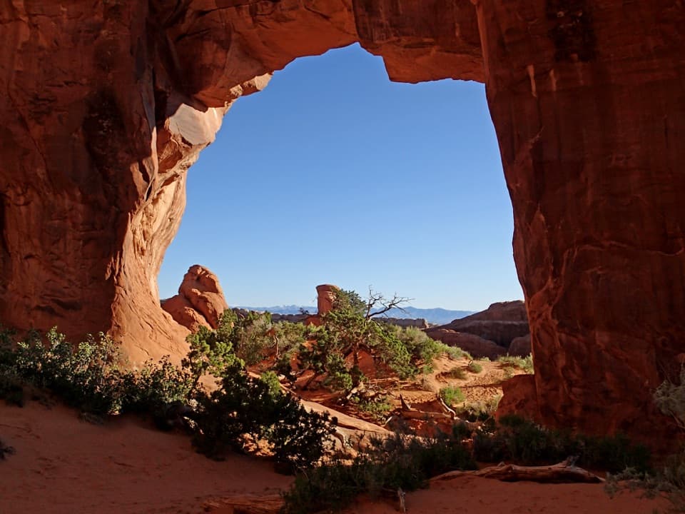 Sight · 1.1 mi awayPine Tree ArchA pine and low sandstone opening reward the short Devils Garden detour.
Parkwolf’s Arches ranking

The audio tour guide for the drive, plus offline maps, trails, and wildlife heatmaps for when the signal drops.