Overview
About Skyline Arch
Why stop
- You can still see the rockfall remnants below the arch.
Heads up
- It’s a smaller-scale stop than Arches’ headline formations.
Map
Where it is

The highest, rockiest slopes around here are a summer buffet for grizzly bears.
Arches Tour Guide
Your drive to Skyline Arch, narrated.
Parkwolf is a GPS audio tour guide for Arches National Park. As you drive, it chimes in with what’s ahead: hidden gems, upcoming stops, history, geology, and wildlife, right through your car’s speakers.
See the Arches audio tourRecorded for this place
Skyline Arch“Skyline Arch trailhead is coming up, a good stop for a short walk to an opening high in a sandstone wall. It’s four-tenths of a mile round trip, taking ten to twenty minutes, with rocky ground and steps near the start.”
Plays as you drive up to Skyline Arch in the Parkwolf Arches Tour Guide.
More stories near here in the app
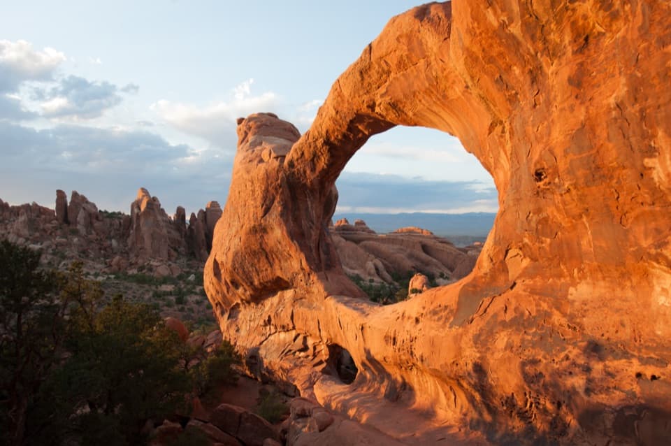
- Devils Garden Campground and Tapestry Arch
- Devils Garden and Landscape Arch
- Ears That Shed Heat
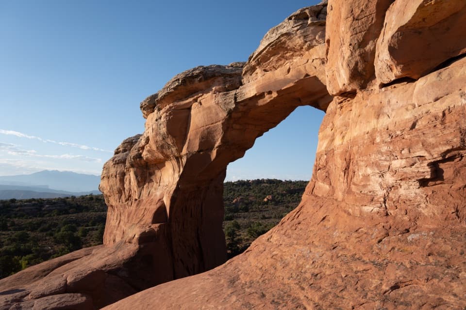
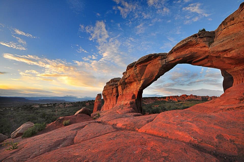
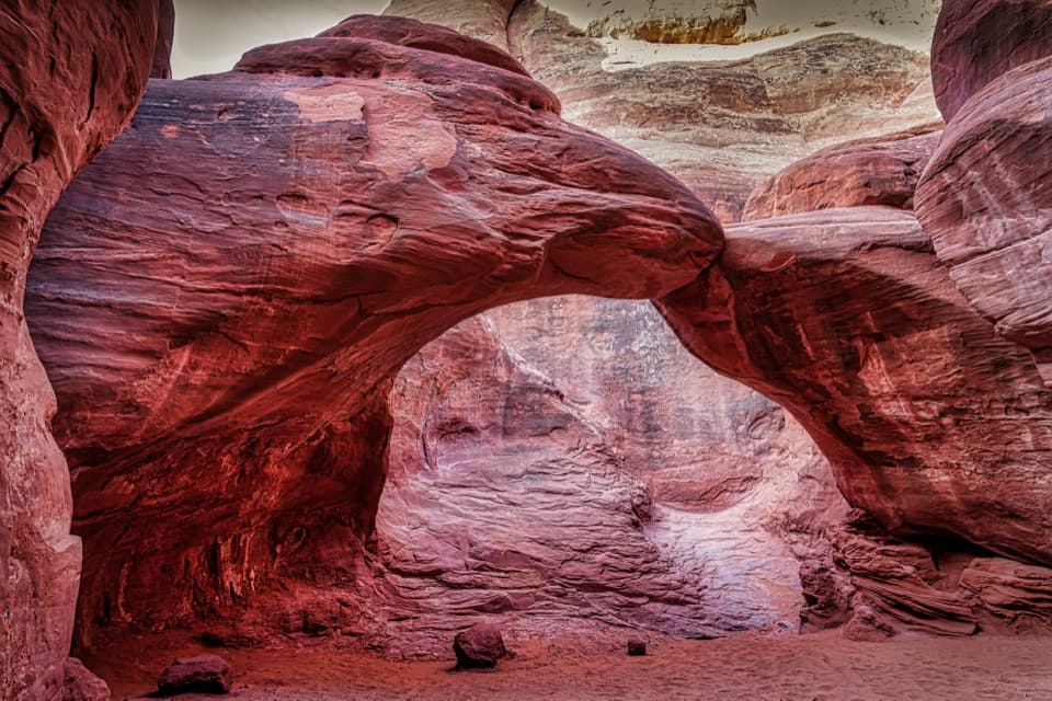
- Sand Dune Arch and Broken Arch
- 35 audio storiesacross Arches’s roads, triggered by GPS as you drive
- Wildlife heatmapsfor Bighorn Sheep, Pronghorn, Raven, and 13 more
- Works offlinemaps, 28 trails, 41 places, and audio download before you lose signal
- CarPlay readysimple controls built for the drive
“I can’t believe how helpful this app is and how interesting the information is for each highlight along the Arches Scenic Drive! This is the first park I’ve used it in.”


Guide
More about Skyline Arch
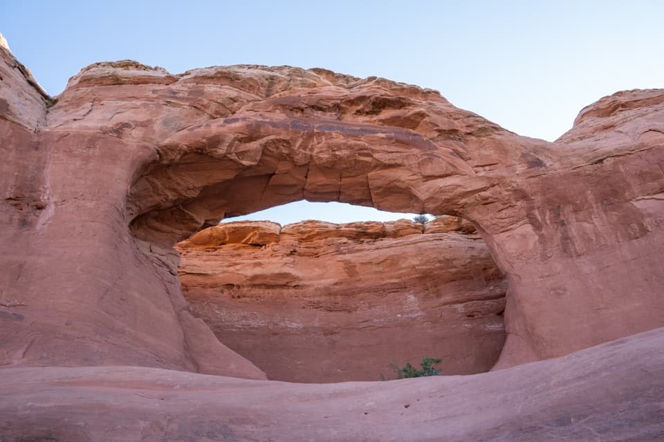
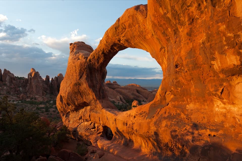
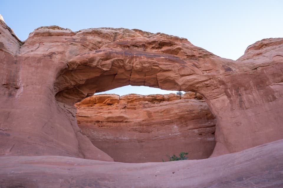
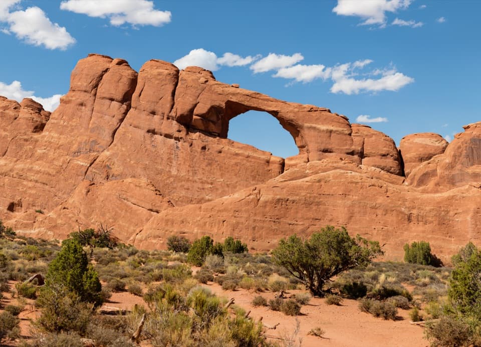
A good quick stop on the northern driveSkyline Arch is a natural opening high in a sandstone wall near Devils Garden.
Skyline Arch is a natural opening high in a sandstone wall near Devils Garden. It's a short stop, not one of Arches' biggest spectacles, but the walk brings you close to a striking, high-set opening. If you're already driving north, it's an easy place to stretch your legs; if you're racing between headline stops, you can see it from the parking area and keep going.
Make the walk for a closer lookThe out-and-back is 0.
The out-and-back is 0.4 mile and usually takes 10 to 20 minutes, with 28 feet of elevation change. It starts up a gentle, rocky slope with steps, then levels out on the way to the base. Those opening steps make the main route inaccessible to wheelchairs. For a view from the other side, use the paved path from the Devils Garden Campground amphitheater; details beyond the paved surface aren't specified, so check whether it suits your access needs. Dogs aren't allowed on the trail; service animals are.
Look for the 1940 rockfallA large boulder fell out of the arch in 1940, roughly doubling its opening.
A large boulder fell out of the arch in 1940, roughly doubling its opening. The broken rock is still visible at the base, about 0.2 mile down the trail. It gives you a good reason to walk closer than the roadside view: you can see the rockfall remnants beneath the arch that changed shape in one sudden moment.
Take in the whole outlineFrom farther back, the opening reads clearly against the broad wall; the trail gives you a…
From farther back, the opening reads clearly against the broad wall; the trail gives you a closer look from below. Take in the full shape before heading in, then look for the fallen blocks on the walk. The campground path gives you a reverse-side view if you want a different angle.
How sandstone becomes an archThe park's sandstone began as layers of sand, including dunes.
The park's sandstone began as layers of sand, including dunes. Movement in the buried salt layers cracked the rock above into long fins; rain and freeze-thaw weathering slowly widened those cracks into openings. Skyline Arch changed dramatically in 1940, but the wider landscape takes shape through that much slower erosion.
Wildlife
Wildlife in Arches
 14 sightingsBighorn SheepMost seen around 7 AMSighting map
 10 sightingsPronghornMost seen around 7 AMSighting map
 610 sightingsRavenMost seen around 9 AMSighting map
 188 sightingsMule DeerMost seen around 7 PMSighting map
 51 sightingsPrairie DogMost seen around 8 AMSighting map
 15 sightingsCoyoteMost seen around 6 AMSighting map
Sighting maps show where each species has been reported across Arches. Wildlife moves, so no sighting is guaranteed.