Overview
About Tapestry Arch
Why stop
- Easy to add to a Sand Dune–Broken Arch walk.
Heads up
- Sandy spur with a junction visitors can miss.
Map
Where it is

The highest, rockiest slopes around here are a summer buffet for grizzly bears.
Arches Tour Guide
Your drive to Tapestry Arch, narrated.
Parkwolf is a GPS audio tour guide for Arches National Park. As you drive, it chimes in with what’s ahead: hidden gems, upcoming stops, history, geology, and wildlife, right through your car’s speakers.
See the Arches audio tourRecorded for this place
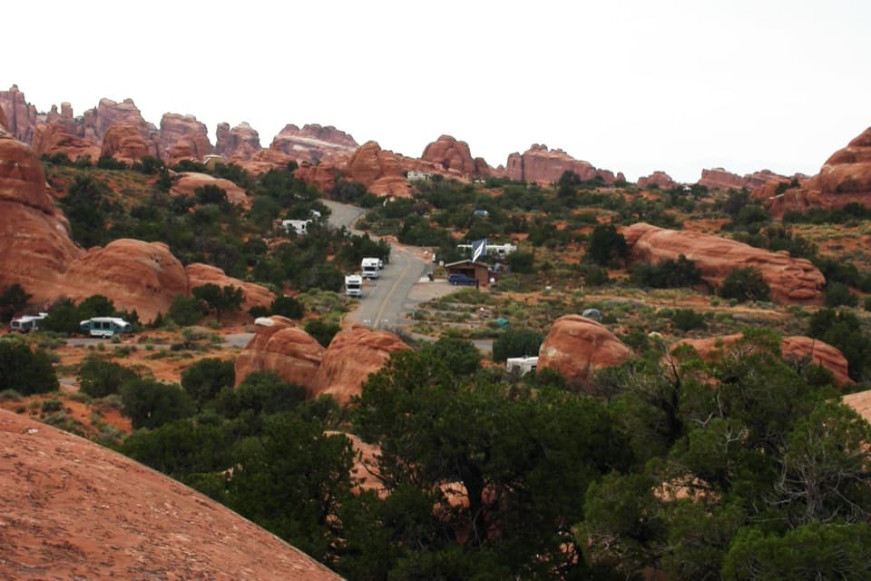
Devils Garden Campground and Tapestry Arch“You’re nearing Devils Garden Campground, the park’s only campground, tucked among sandstone fins. Treat it as a planned overnight; sites usually fill in the busy season, and there are no showers, hookups or camp store.”
Plays as you drive up to Tapestry Arch in the Parkwolf Arches Tour Guide.
More stories near here in the app
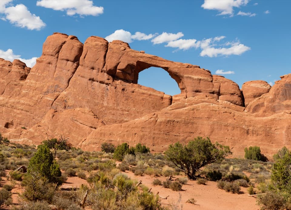
- Skyline Arch
- Devils Garden and Landscape Arch
- Sand Dune Arch and Broken Arch
- Ears That Shed Heat
- 35 audio storiesacross Arches’s roads, triggered by GPS as you drive
- Wildlife heatmapsfor Bighorn Sheep, Pronghorn, Raven, and 13 more
- Works offlinemaps, 28 trails, 41 places, and audio download before you lose signal
- CarPlay readysimple controls built for the drive
“I can’t believe how helpful this app is and how interesting the information is for each highlight along the Arches Scenic Drive! This is the first park I’ve used it in.”


Guide
More about Tapestry Arch
A quieter add-on to Broken ArchTapestry Arch is a sandstone arch on a spur off the Broken Arch route in Devils Garden, north…
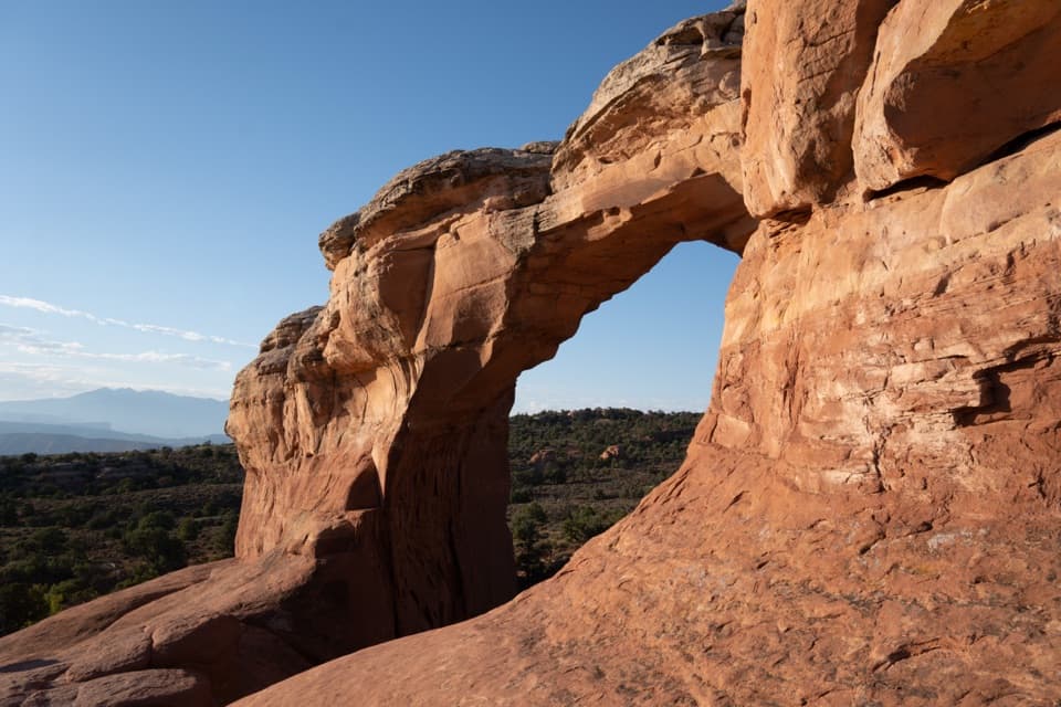
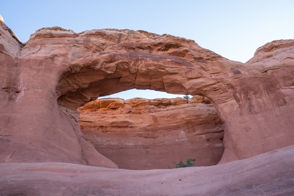
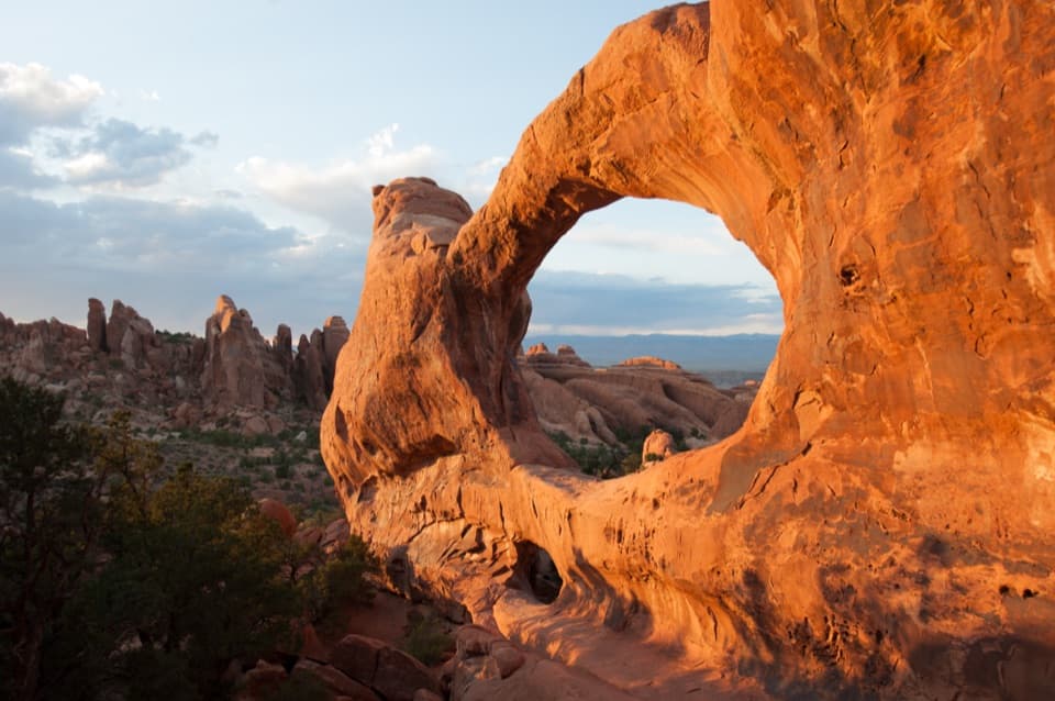
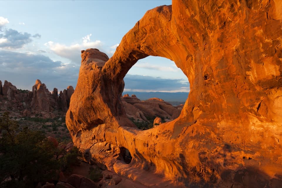
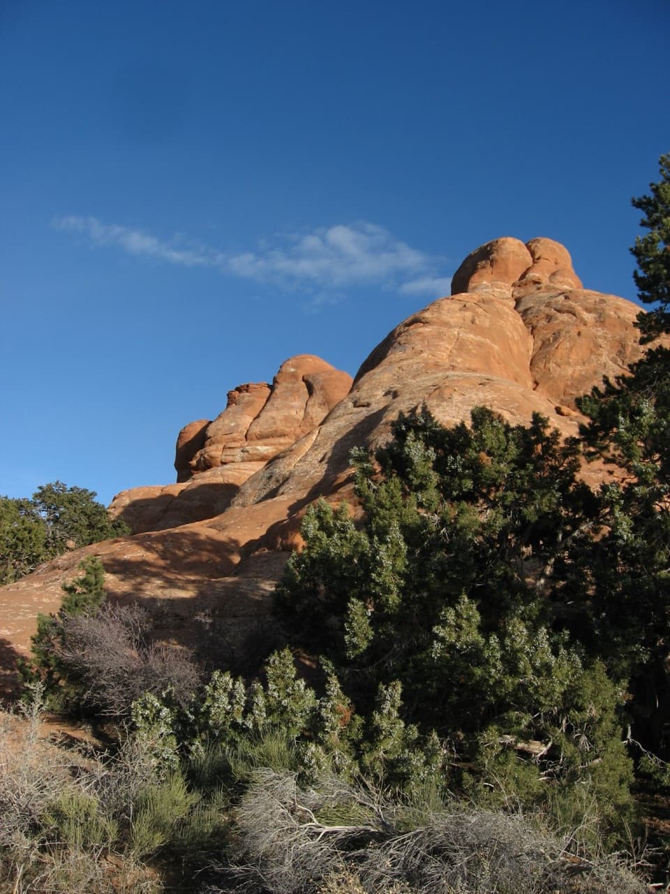
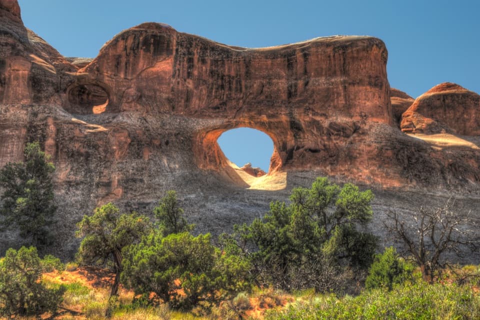
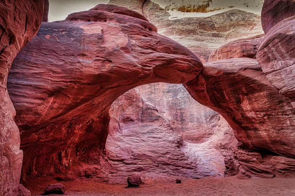
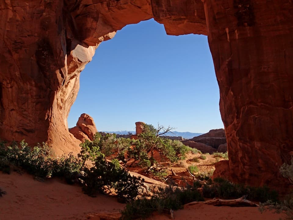
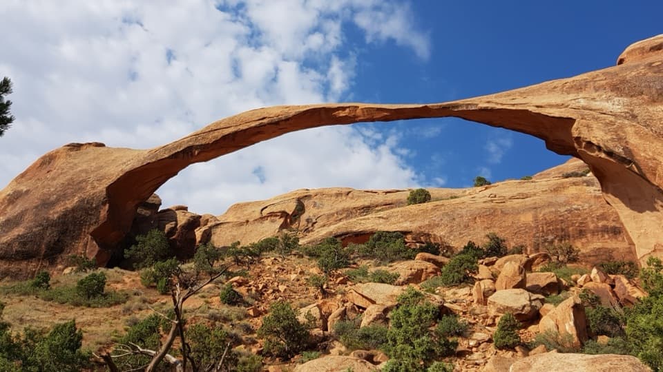
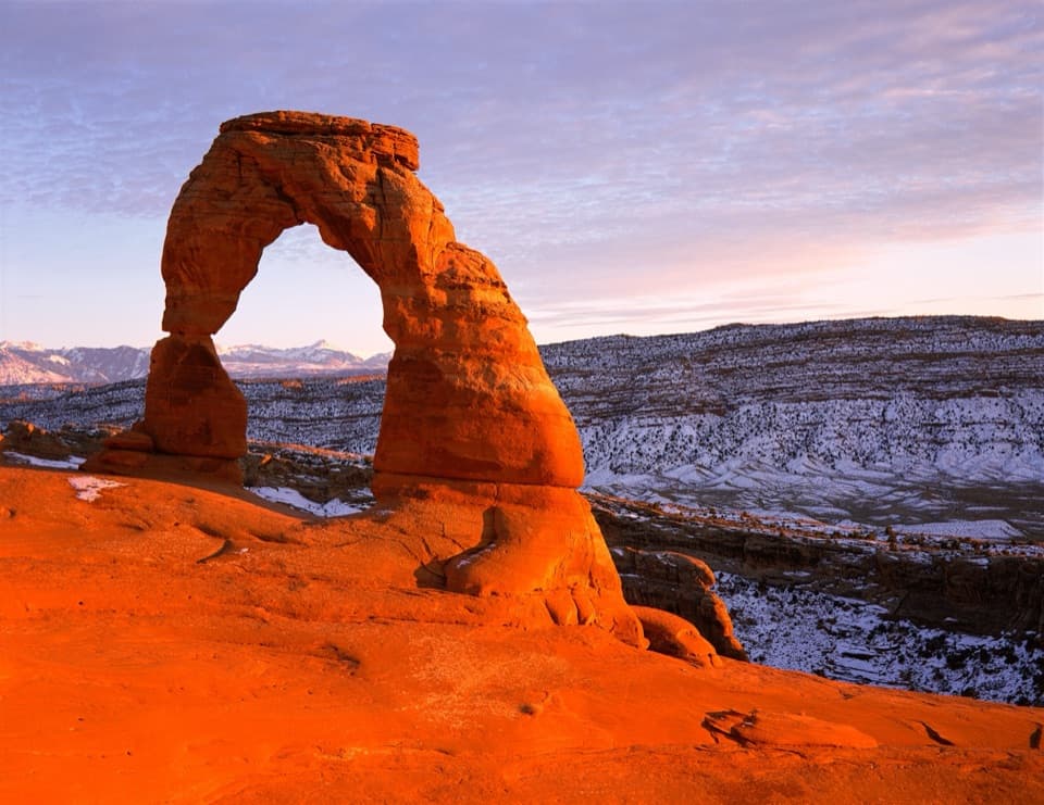
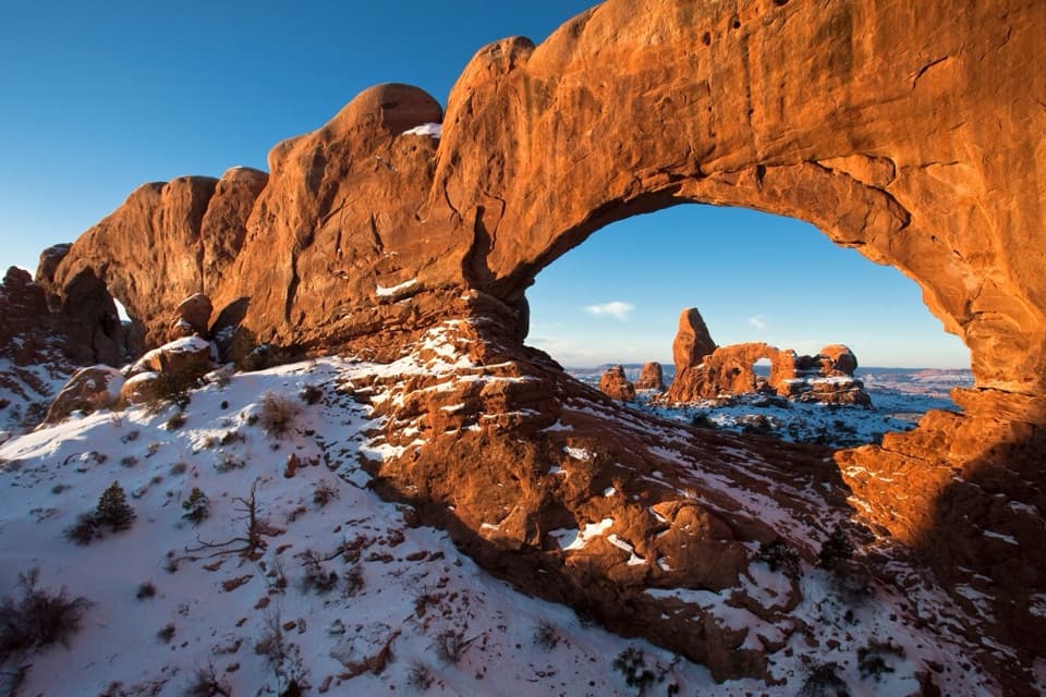
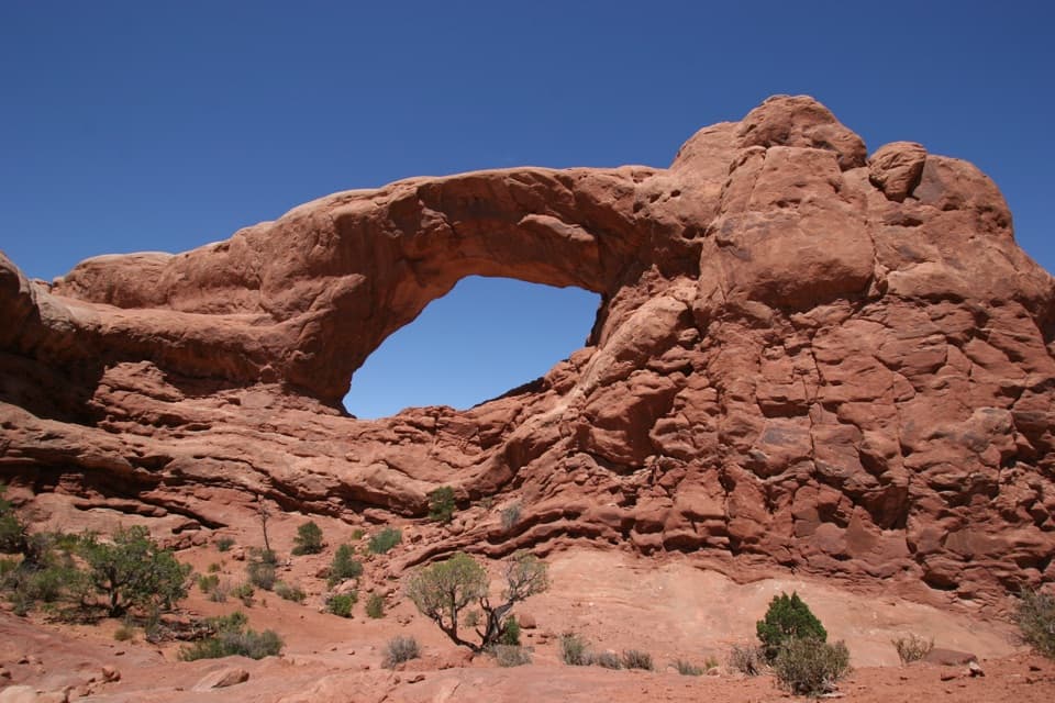
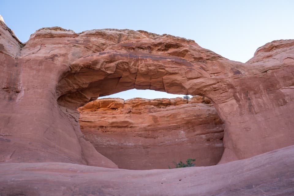
Tapestry Arch is a sandstone arch on a spur off the Broken Arch route in Devils Garden, north of the campground. Its central opening sits between two shallow, arch-shaped recesses, giving the sandstone fin a three-part pattern. It’s an easy one to add if you’re already walking between Sand Dune and Broken arches, and visitors often find this stretch quieter than the park’s headline stops.
One opening, two false archesLook from an angle to see the whole pattern: only the center opening passes through the rock;…
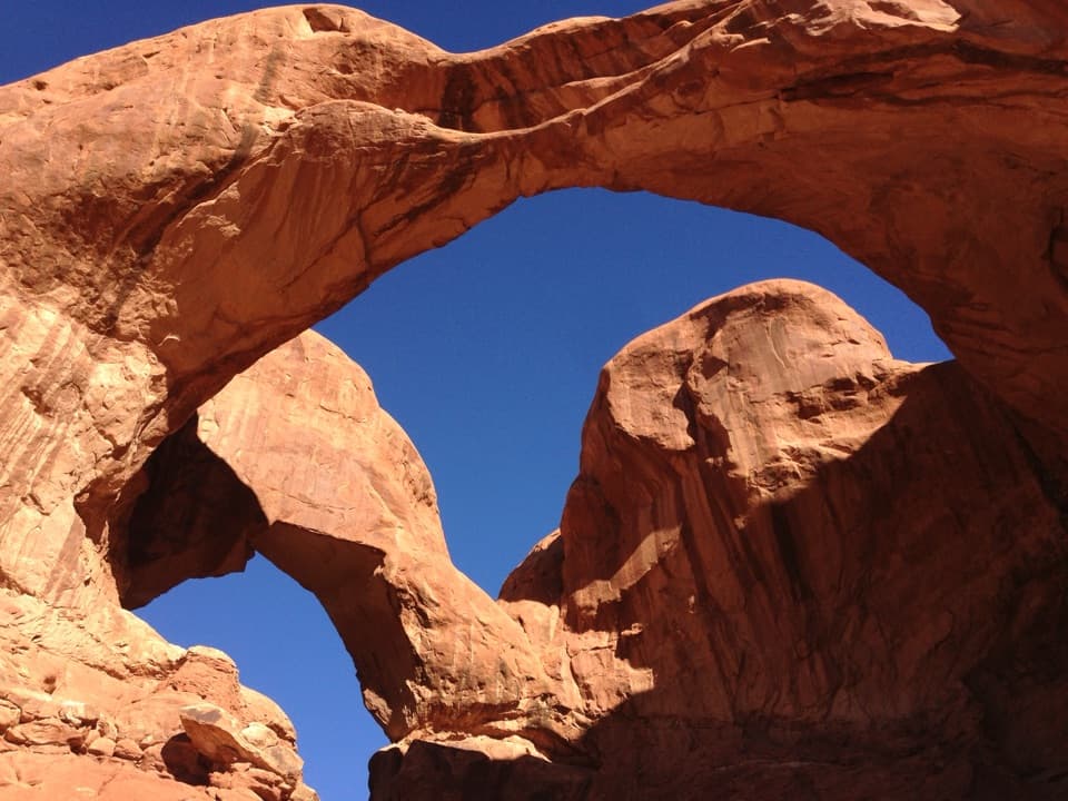
Look from an angle to see the whole pattern: only the center opening passes through the rock; the two side shapes are shallow recesses in the same fin. Across Arches, rainwater works along fractures linked to the uplift of buried salt deposits. Narrow fins form, then weather into arches. For a photo, include the central opening and both side recesses in one frame. Getting right beneath the arch involves crossing uneven sandstone and a short scramble.
Pick the southern routeA two-hour walk from the Sand Dune Arch parking area crosses the field to Broken Arch,…
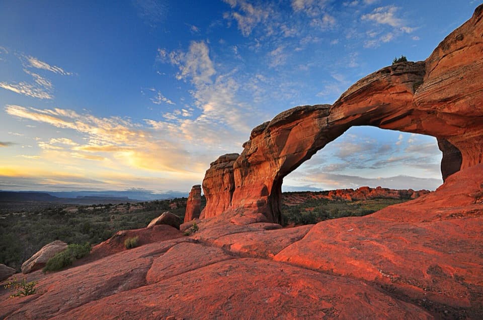
A two-hour walk from the Sand Dune Arch parking area crosses the field to Broken Arch, continues through the campground and returns past Tapestry Arch. The arch itself is a short spur, but the total mileage changes with the starting point; published campground-side estimates differ, so don’t plan around one number. Day-visitor parking beside the campground restrooms isn’t confirmed, so use the Sand Dune Arch parking area rather than counting on a campsite-side start. The spur can be sandy and its junction is easy to miss; watch the turn and stay on the established trail. Devils Garden is at the end of the park road, about 18 miles or 45 minutes from the visitor center, and its lots can be busy in peak season and on holiday weekends.
Wildlife
Wildlife in Arches
 14 sightingsBighorn SheepMost seen around 7 AMSighting map
 10 sightingsPronghornMost seen around 7 AMSighting map
 608 sightingsRavenMost seen around 9 AMSighting map
 187 sightingsMule DeerMost seen around 7 PMSighting map
 51 sightingsPrairie DogMost seen around 8 AMSighting map
 15 sightingsCoyoteMost seen around 6 AMSighting map
Sighting maps show where each species has been reported across Arches. Wildlife moves, so no sighting is guaranteed.