Parking
Use the informal northwest-rim pullout on the remote, unpaved Lost Spring Road approach from County Road 165. It is not the main park-road trailhead. Current access and road conditions have not been confirmed; verify before making the drive.
Arches National Park, UT
Follow a rough wash past arches to the brushy Covert junction.
Overview
Map & elevation
Plan your hike

The highest, rockiest slopes around here are a summer buffet for grizzly bears.
Arches Tour Guide
Parkwolf is a GPS audio tour guide for Arches National Park. As you drive, it chimes in with what’s ahead: hidden gems, upcoming stops, history, geology, and wildlife, right through your car’s speakers.
See the Arches audio tourMore stories near here in the app
“I can’t believe how helpful this app is and how interesting the information is for each highlight along the Arches Scenic Drive! This is the first park I’ve used it in.”


Trail guide
This is an about 5.2-mile out-and-back from the northwest rim to the Covert Canyon confluence and back along the same route. Allow about 3.5 hours. Expect loose sand, brush and faint informal traces; this is a moderate canyon walk, not a signed or maintained trail. Mileage is approximate: route notes put the junction about 2.6–2.8 miles one way, so budget roughly 5.2–5.6 miles round trip if you explore the side washes.
The easiest turn to miss is at the rim: leave the broad old road at the smaller left branch before it reaches a fence. Note the wash split near the first mile; on the return, take its left branch back toward the access road. The Covert Canyon mouth is the turn-around. Covert Arch lies farther up that separate drainage and is outside this route.
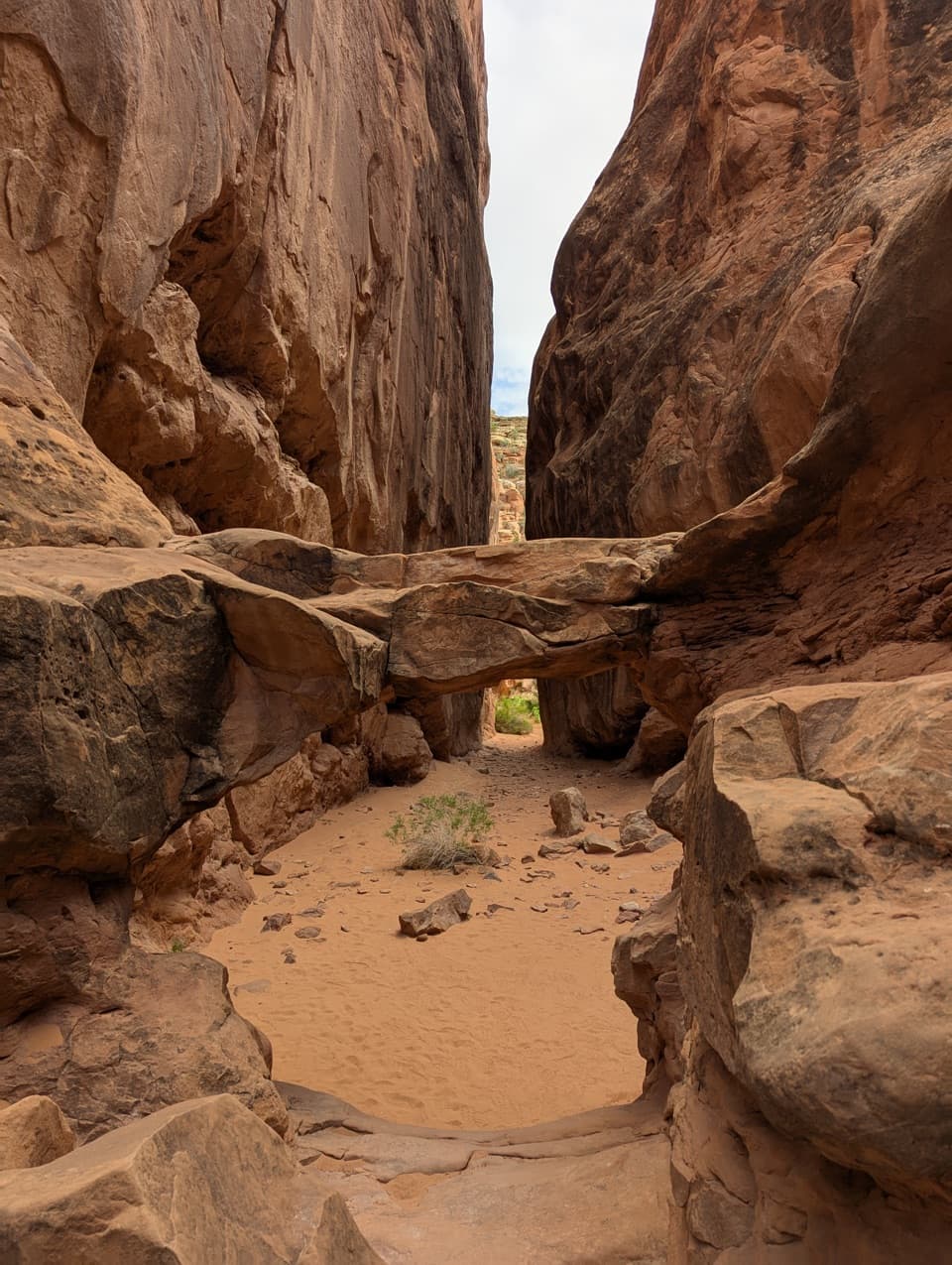
From the informal northwest-rim pullout, an old road crosses slickrock. Its smaller branch drops past an old corral and ranch traces before reaching the wash about 0.7 mile in. Cottonwoods shade the first stretch, where the wash can be brushy. Farther down, the trees thin and the sandstone walls close around the route.
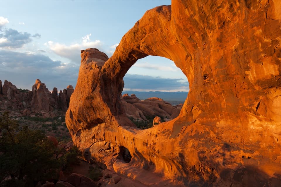
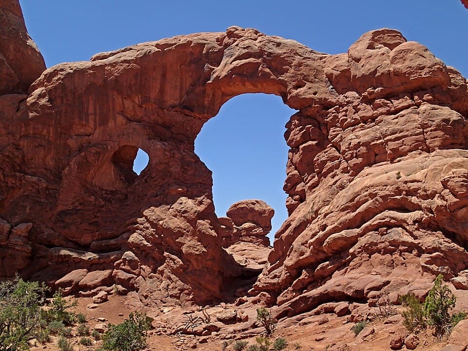
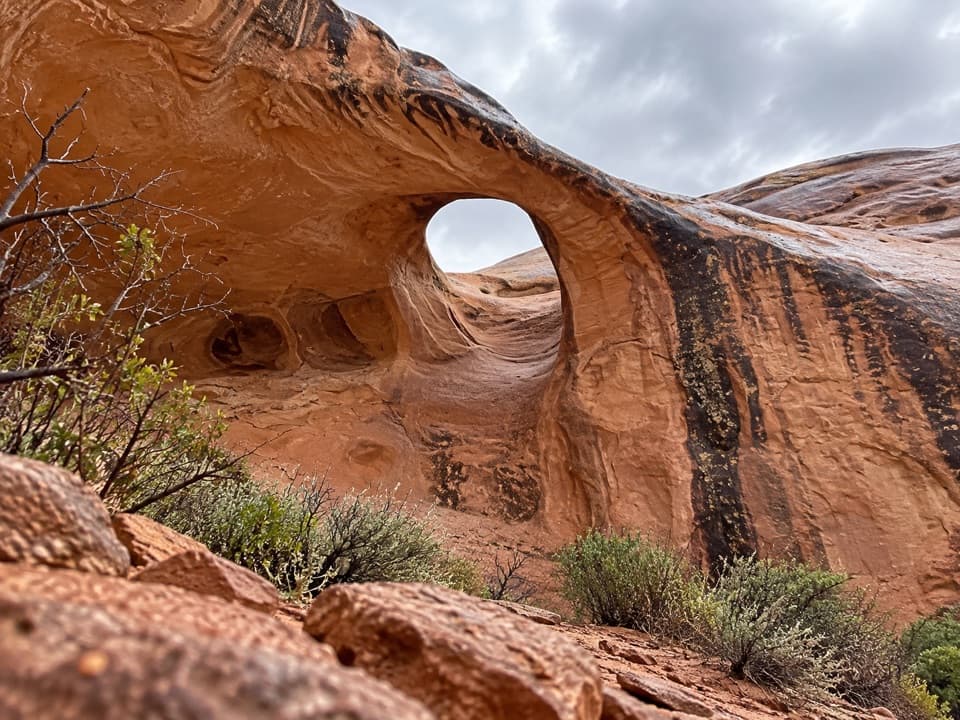
A short side wash leads to Lightning Bolt Arch, a small opening in a fin. Farther down, Cavern Arch is a roof window in a shaded alcove; reaching it involves a scramble up a side wash. Millennium Arch sits in a pockmarked wall before the route returns to the main wash. These informal side trips add distance and are not part of the mapped wash corridor. At Cavern Arch, include some of the surrounding alcove wall in a photo so the roof opening reads as part of the larger recess.
The access is a remote, unpaved road to a simple rim pullout, not a developed park trailhead. Current access and road conditions have not been confirmed; check before making the drive. There is no drinking water or toilet along the route, and pets are not allowed on Arches trails or in the backcountry. The wash is flash-flood terrain; desert heat and winter ice are also serious hazards.
These canyonlands joined Arches in 1998 after being managed as a wilderness study area. A donated grazing permit helped remove livestock and begin restoring vegetation. The mature biological soil crust here is extremely slow to recover, so keep to the wash and established traces rather than cutting across the desert ground.
Wildlife
 14 sightingsBighorn SheepMost seen around 7 AMSighting map
 10 sightingsPronghornMost seen around 7 AMSighting map
 608 sightingsRavenMost seen around 9 AMSighting map
 187 sightingsMule DeerMost seen around 7 PMSighting map
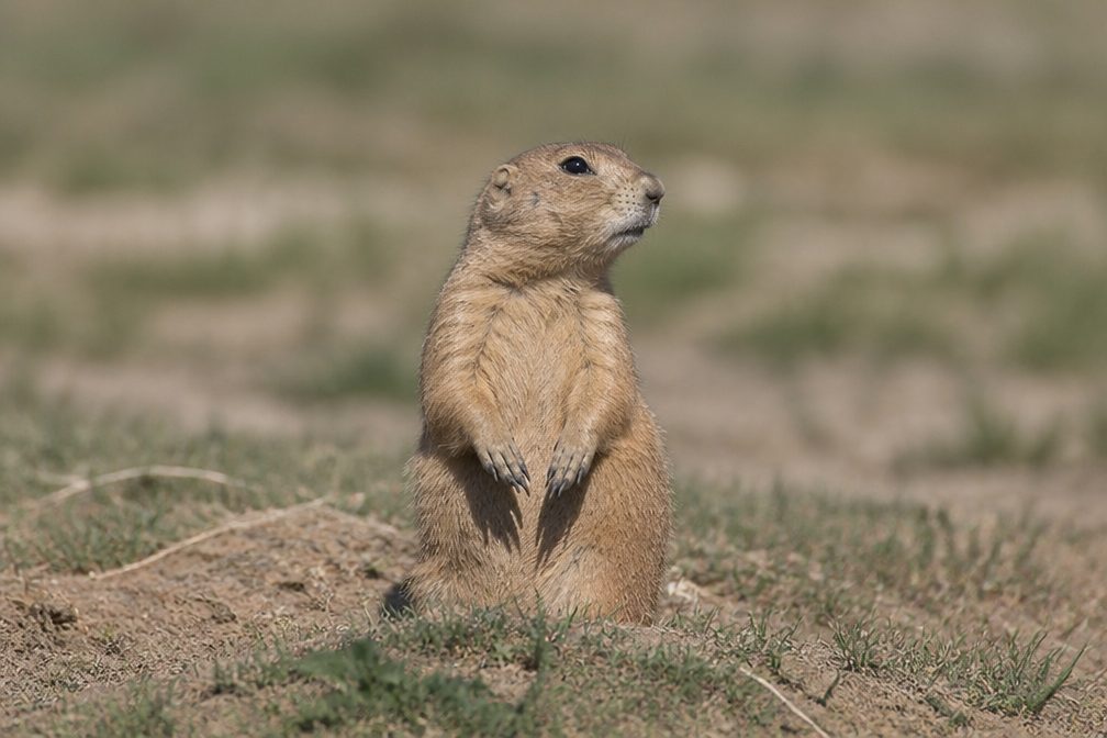 51 sightingsPrairie DogMost seen around 8 AMSighting map
 15 sightingsCoyoteMost seen around 6 AMSighting map
Sighting maps show where each species has been reported across Arches. Wildlife moves, so no sighting is guaranteed.
Keep exploring
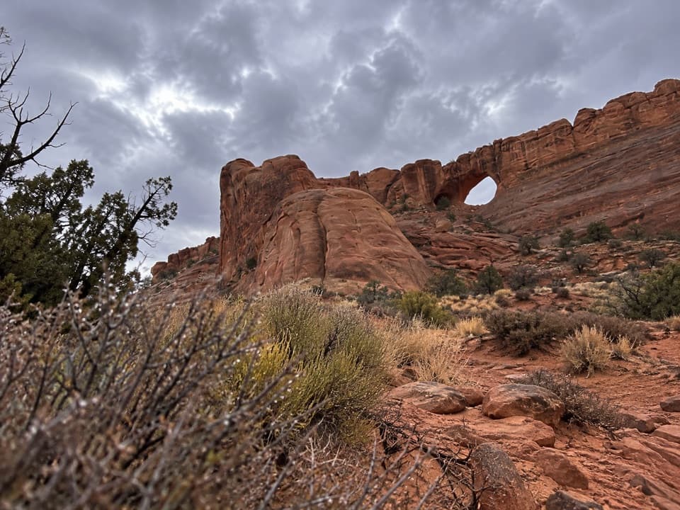 ModerateCovert Arch Viewpoint Route2.2 mi · 3 hr · 2.6 mi awayGet Covert Arch's south-rim view without the scramble.
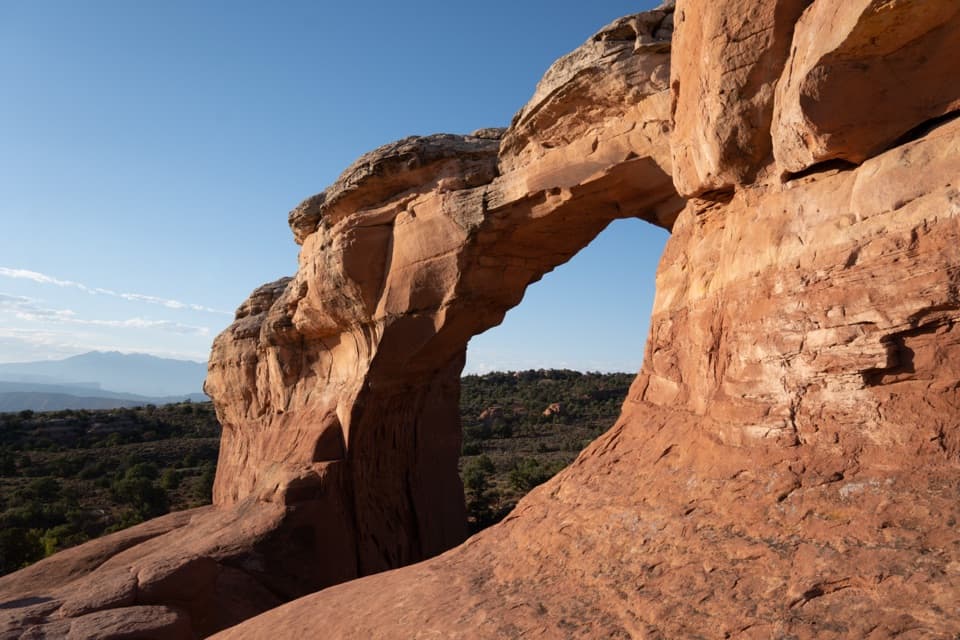 ModerateBroken Arch Trail1.4 mi · 1 hr · 4.3 mi awayOpen meadow, a sandstone arch, and a scrambly return through fins.
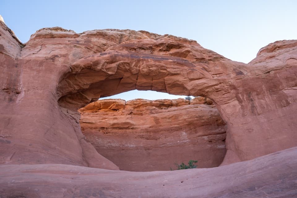 EasyTapestry Arch Trail0.7 mi · 30 min · 4.3 mi awayA short sandy walk to a striking arch with three openings.
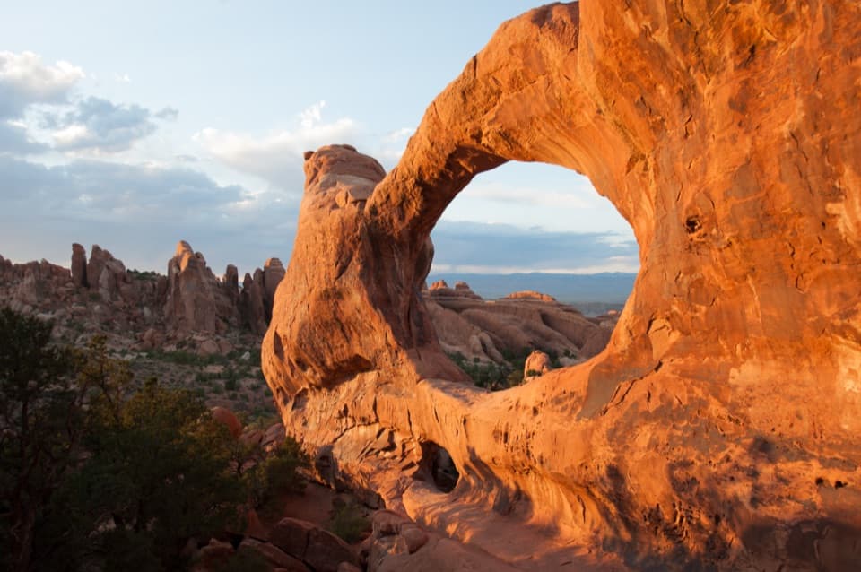 ChallengingDevils Garden Trail7.9 mi · 5 hr · 4.4 mi awaySeven arches, a dark spire, and a rough Primitive Trail return.
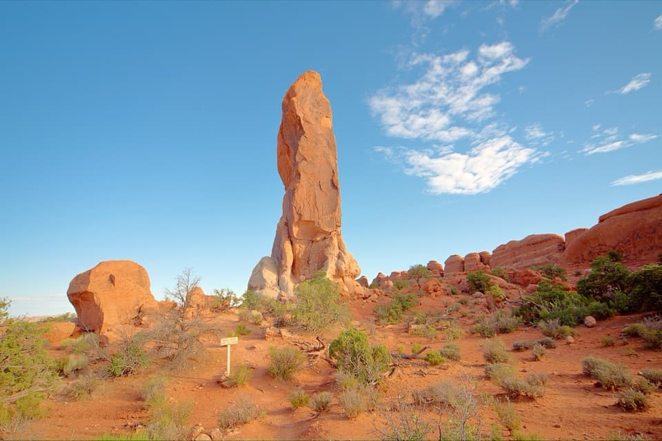 ChallengingDark Angel Trail4.9 mi · 3 hr · 4.4 mi awayA long, scrambly walk to a solitary sandstone spire.
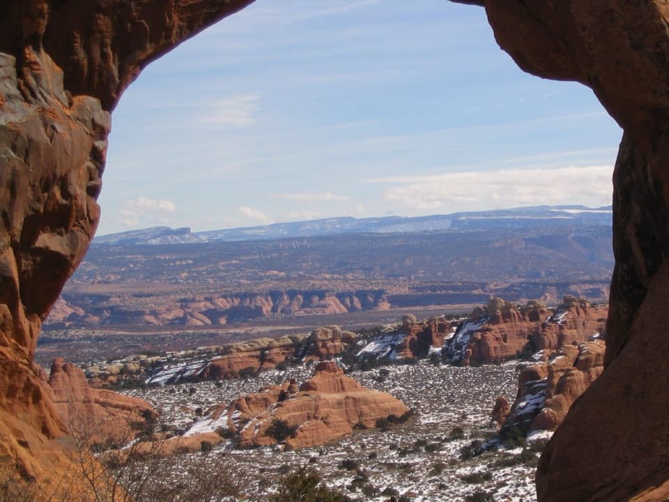 ModerateNavajo and Partition Arches Trail3.4 mi · 2.5 hr · 4.4 mi awayA shaded tunnel and a mountain-framed window beyond Landscape Arch.
 EasyPine Tree and Tunnel Arches Trail1 mi · 45 min · 4.4 mi awayTwo easy arch detours through sandstone fins.
 EasyLandscape Arch Trail1.9 mi · 1.3 hr · 4.4 mi awayA short walk to a sandstone span that looks impossibly thin.
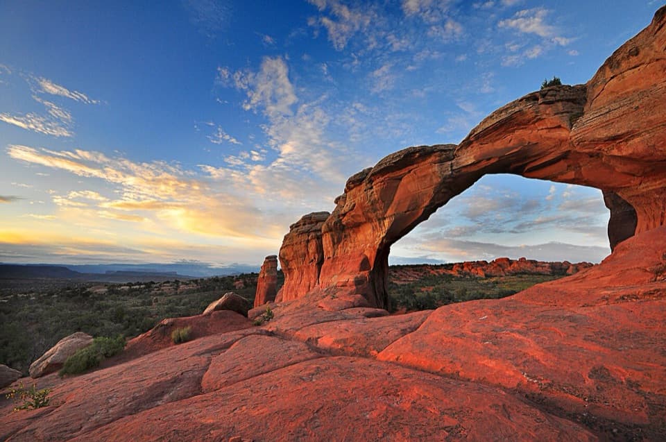 Sight · 3.9 mi awayBroken ArchAn easy arch walk with a rougher campground loop beyond it.
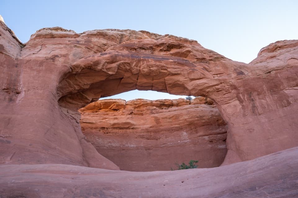 Sight · 4 mi awayTapestry ArchA quieter arch spur with one opening and two shallow false arches.
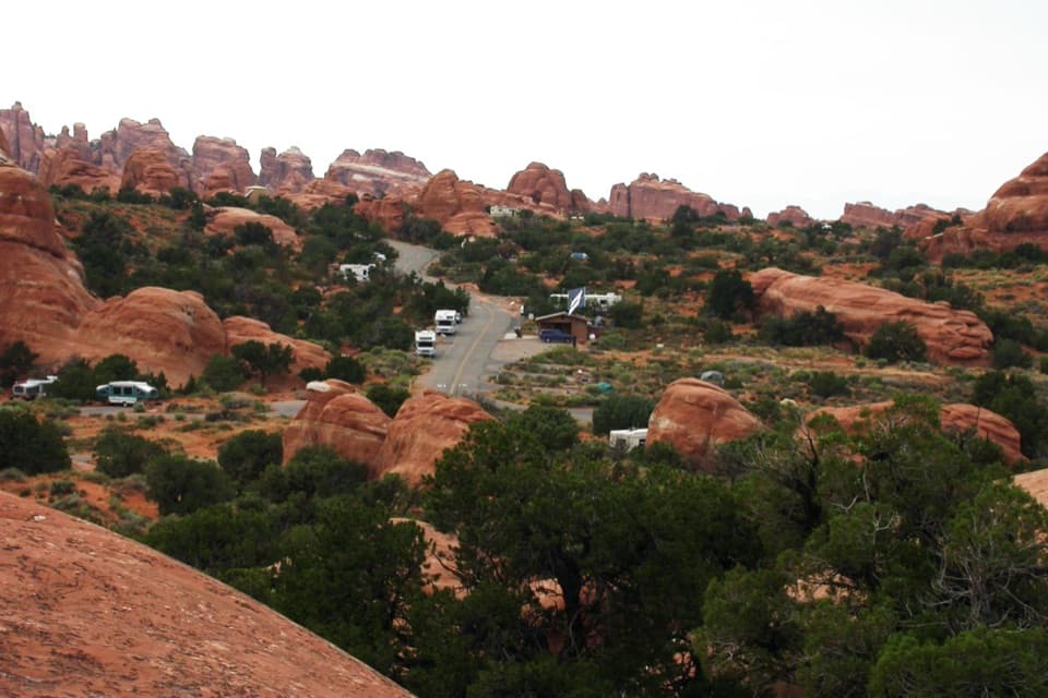 Campground · 4.3 mi awayDevils Garden CampgroundCamp among the sandstone fins, with arches close by.
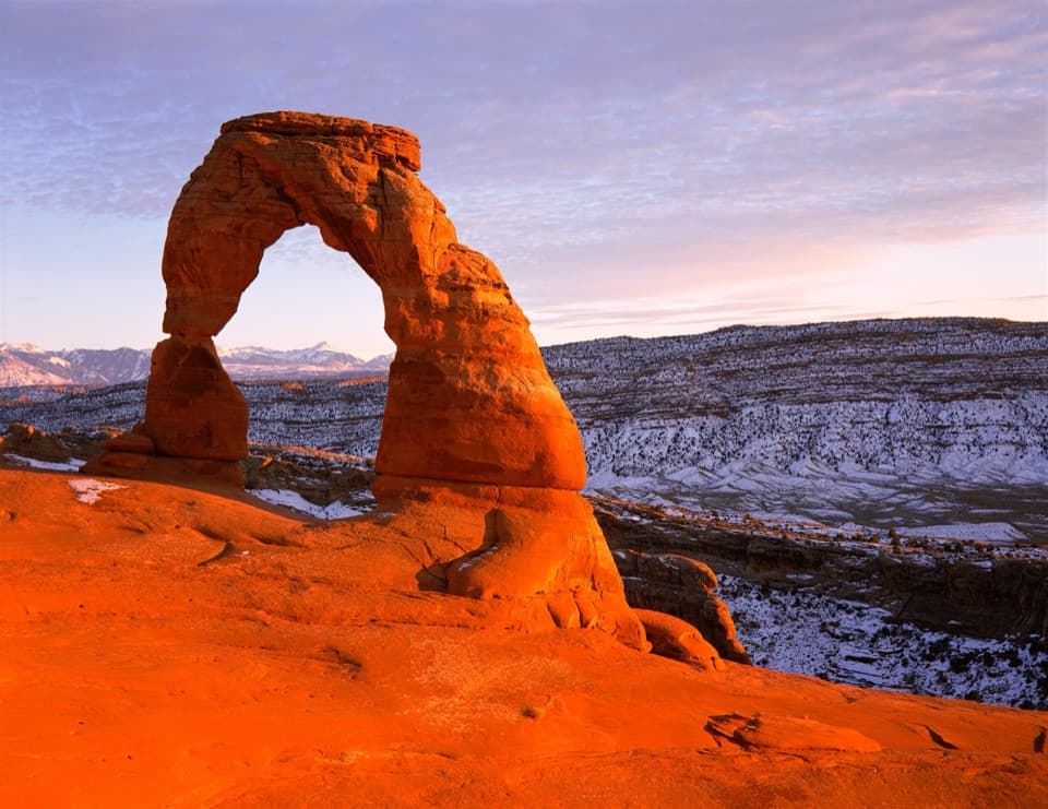 Sight · 4.3 mi awayDelicate ArchA famous arch, reached by a steep, exposed hike.
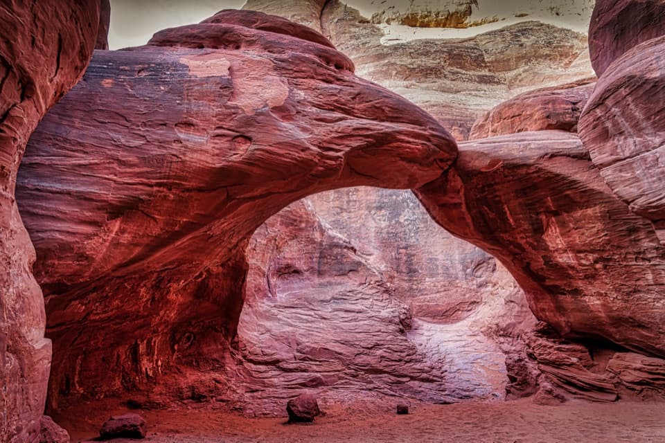 Sight · 4.4 mi awaySand Dune ArchA shaded sandstone arch hidden beyond a short sandy slot.
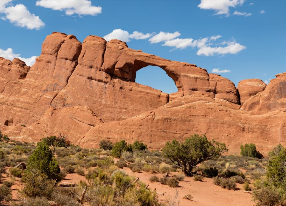 Sight · 4.4 mi awaySkyline ArchA quick stop for an arch reshaped by a 1940 rockfall.
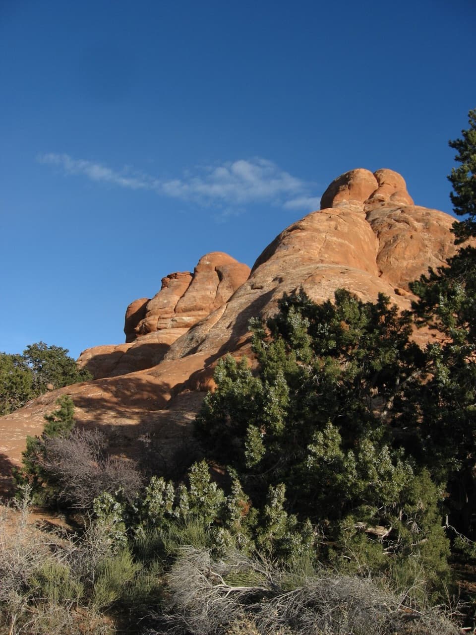 Picnic area · 4.4 mi awayDevils Garden Picnic AreaA handy meal stop among sandstone fins at road’s end.
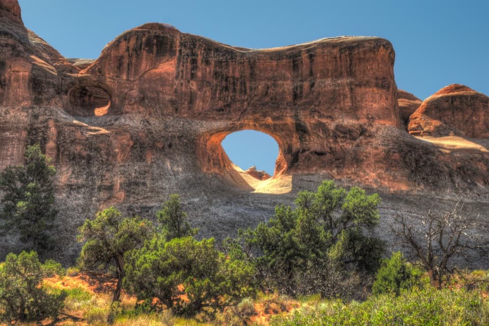 Sight · 4.5 mi awayTunnel ArchA quick Devils Garden detour for a window in the sandstone.
Parkwolf’s Arches ranking

The audio tour guide for the drive, plus offline maps, trails, and wildlife heatmaps for when the signal drops.