Parking
Park in Bow Lake Parking Lot A beside Num-Ti-Jah Lodge on the Icefields Parkway; the lot fills quickly, and roadside parking is prohibited. A valid Banff National Park pass is required for a stop.
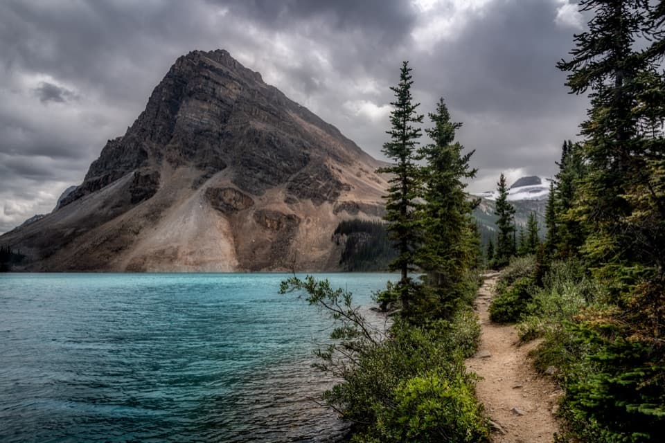
Banff National Park, AB
A flat shore walk with turquoise water and Crowfoot Glacier in view.
Overview
Map & elevation
Plan your hike

The highest, rockiest slopes around here are a summer buffet for grizzly bears.
Banff Tour Guide
Parkwolf is a GPS audio tour guide for Banff National Park. As you drive, it chimes in with what’s ahead: hidden gems, upcoming stops, history, geology, and wildlife, right through your car’s speakers.
See the Banff audio tourRecorded for this trailhead
Bow Lake: North Shore and a Café Stop“Up ahead is Bow Lake's north-shore access, by The Lodge at Bow Lake. Stop here for turquoise water beneath the mountains without committing to a hike; a short gravel path leads from the public parking to the shore.”
Plays as you drive up to this trailhead in the Parkwolf Banff Tour Guide.
More stories near here in the app
“…Loved the commentary as you drove thru. I’m sure the app can do more than I know but the tips were very helpful. I’m gonna use it when we go to Banff next month.”


Trail guide
Bow Lake Lakeshore Trail is a 2.1-mile (3.4 km) out-and-back along Bow Lake’s north shore. Start at Parking Lot A beside Num-Ti-Jah Lodge, follow the shoreline path toward the western end to the foot of the stairs, then return the same way. Allow about 30–60 minutes. It’s an easy, low-commitment way to get beside the lake; the longer Bow Glacier Falls route continues beyond this shoreline walk.
The path passes the lodge and is described as clear and mostly flat. Views open across the turquoise water to Crowfoot Mountain and its glacier, with Bowcrow Peak and Bow Peak beyond; Mount Jimmy Simpson rises over the shore. The walk ends before the more demanding Bow Glacier Falls and Bow Hut routes. This is a shoreline out-and-back, not a circuit around the lake.
The far end can be marshy, and water level changes how much shoreline is comfortable to walk. Turn around at the stairs before the route continues toward the falls or hut. The posted 2.1-mile figure is a return distance; the physical route is stored once.
Use Bow Lake Parking Lot A beside Num-Ti-Jah Lodge. The lot fills quickly, and toilets are available at the trailhead. A valid Banff National Park pass is required when stopping on the Icefields Parkway. Dogs can join on leash; check current trail restrictions before taking one, especially in winter. Parks Canada’s current conditions page did not list a separate Bow Lake Lakeshore entry when this guide was prepared, so check the live report before setting out.
Bow Lake is fed by meltwater from Bow Glacier. Fine glacial sediment in the water helps give it its turquoise colour. On calm, clear days, the surrounding mountains can reflect across the lake. From the north shore, frame the water in front of Crowfoot Mountain and the glacier; reflections depend on conditions.
Num-Ti-Jah Lodge stands beside the walk’s starting point. Jimmy Simpson first camped at Bow Lake in 1898 and began a small cabin there about 25 years later. After the Banff–Jasper highway reached the lake in 1937, the family developed the site into a lodge: it had six guest rooms in 1940 and 16 rooms by 1950.
Wildlife
 123 sightingsGrizzly BearMost seen around 6 AMSighting map
 150 sightingsBrown BearMost seen around 6 PMSighting map
 44 sightingsGray WolfMost seen around 6 AMSighting map
 12 sightingsRiver OtterMost seen around 8 PMSighting map
 69 sightingsMooseMost seen around 8 PMSighting map
 466 sightingsBlack BearMost seen around 9 PMSighting map
Sighting maps show where each species has been reported across Banff. Wildlife moves, so no sighting is guaranteed.
Keep exploring
ChallengingBow Hut Trail16 km · 5.3 hr · At the trailheadA rough canyon and moraine approach to a hut beneath the icefield. ModerateBow Glacier Falls Trail5.6 km · 2.5 hr · 0.3 km awayLakeshore, gorge, glacier water, and a waterfall view from the marked end.
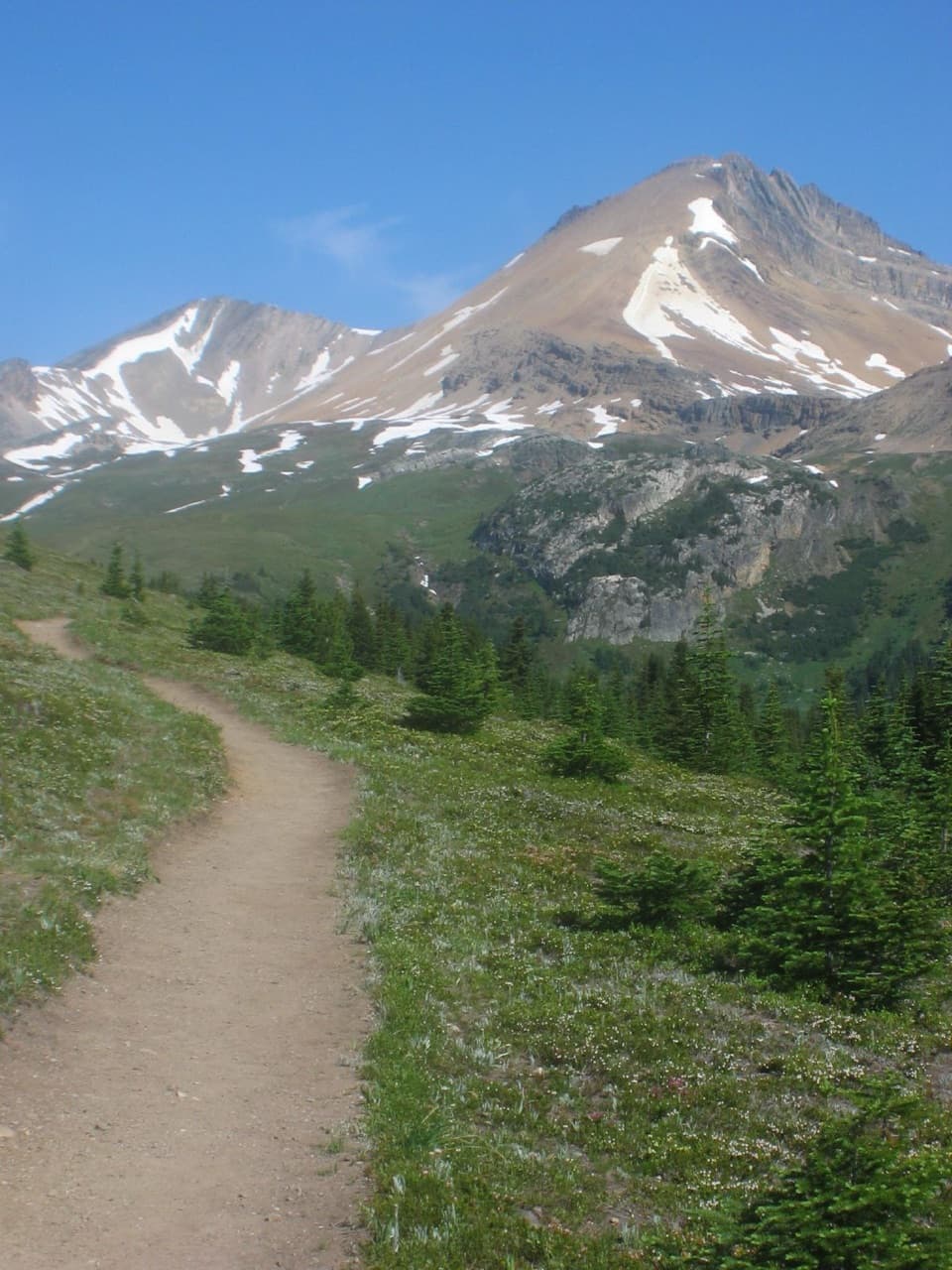 ModerateHelen Lake Trail11.7 km · 4.5 hr · 2.4 km awayA rooty climb earns glacier views before a modest alpine lake.
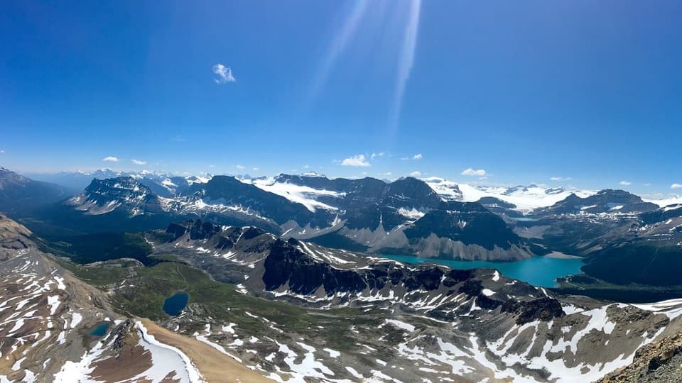 ChallengingCirque Peak Trail via Helen Lake16.3 km · 6.5 hr · 2.4 km awayA hands-on summit above Bow Lake and the Wapta Icefield.
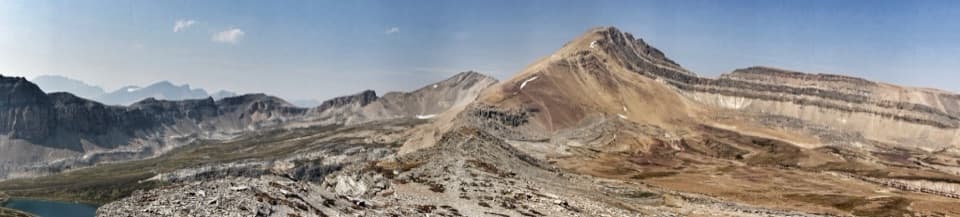 ChallengingDolomite Pass Trail17.8 km · 6.5 hr · 2.4 km awayBeyond Helen Lake, alpine meadows lead to an unmarked pass.
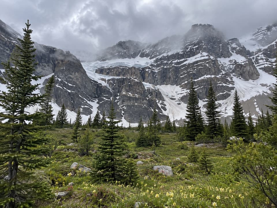 ChallengingCrowfoot Pass and Balfour Viewpoint Trail15.4 km · 6 hr · 3.5 km awayA cold ford, a broad pass, and a waterfall view.
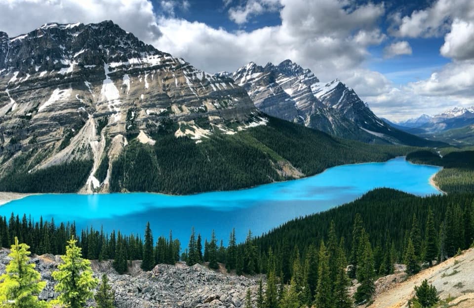 EasyPeyto Lake Lookout Trail1.2 km · 30 min · 4.9 km awayA quick uphill walk to a bright lake framed by rugged mountains.
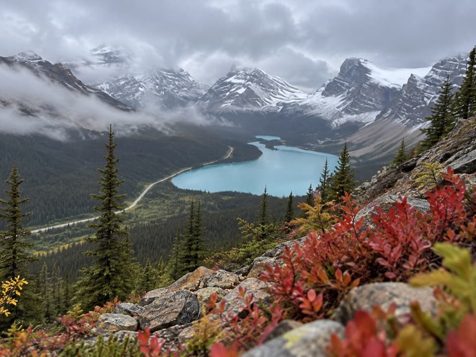 ModerateBow Summit Viewpoint Trail6.4 km · 2.5 hr · 4.9 km awayGo beyond Peyto’s busy platform for a Bow Lake view.
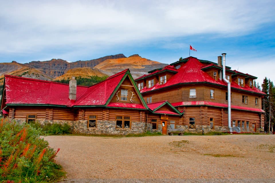 Lodging · 0.2 km awayThe Lodge at Bow LakeStay beside Bow Lake in a storied Icefields Parkway lodge.
 Sight · 0.4 km awayBow LakeTurquoise water and glacier views, just off the Icefields Parkway.
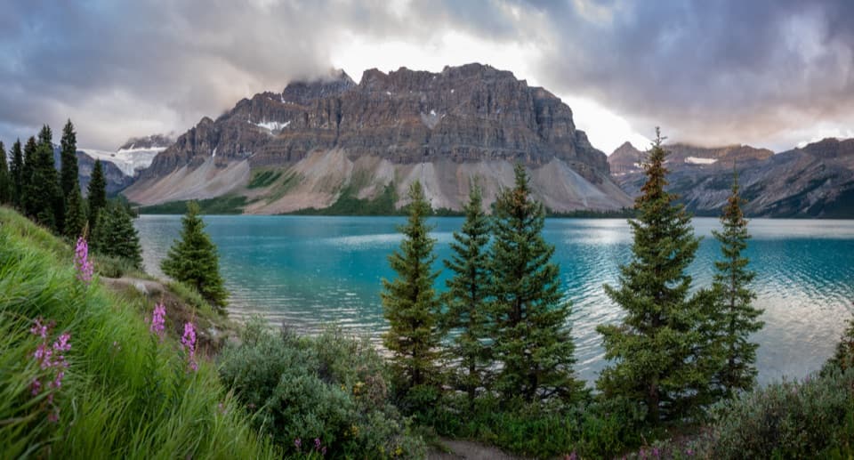 Picnic area · 1.2 km awayBow Lake Picnic SiteA quick pullout for clear lake water and high mountain views.
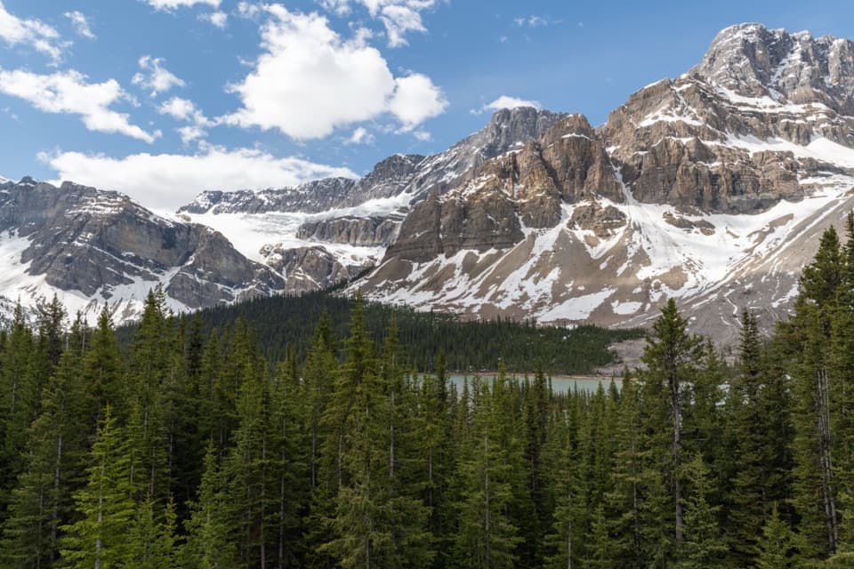 Sight · 2.5 km awayCrowfoot Glacier ViewpointA quick glacier stop with the story of its missing toe.Sight · 3.7 km awayBow Glacier FallsA waterfall in the rocky basin where the Bow River begins.
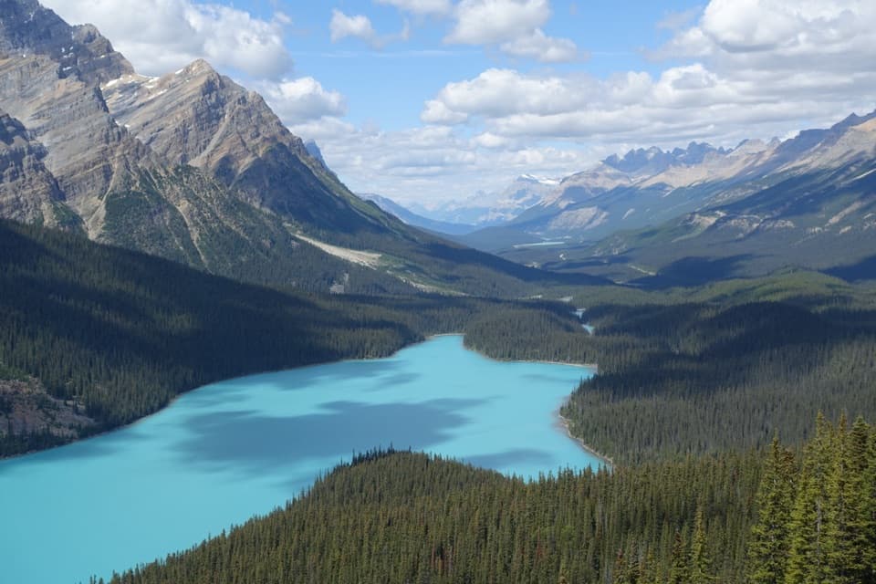 Sight · 5.2 km awayPeyto Lake ViewpointA short climb opens onto a wolf-shaped lake in the peaks.
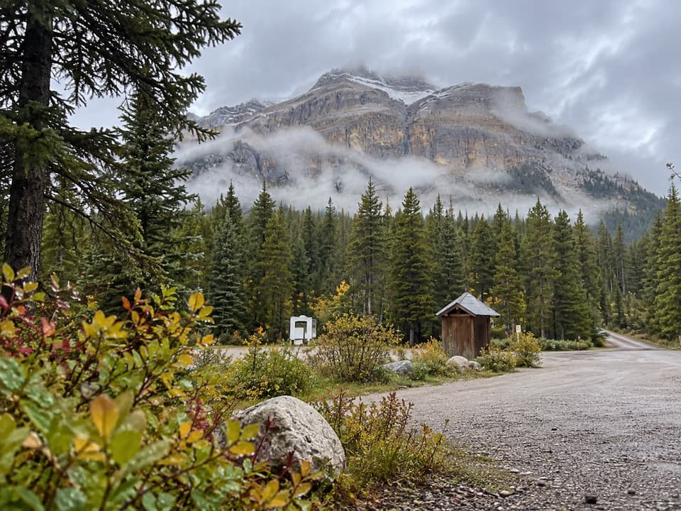 Campground · 10.7 km awayMosquito Creek CampgroundCreekside sites and mountain views at a basic Parkway campground.
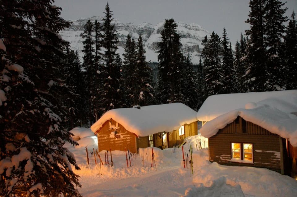 Lodging · 10.8 km awayHI Mosquito Creek Wilderness HostelA remote base with a sauna and trails just outside.
Parkwolf’s Banff ranking

The audio tour guide for the drive, plus offline maps, trails, and wildlife heatmaps for when the signal drops.





