Parking
Small parking area east of the Icefields Parkway, across from Crowfoot Glacier Viewpoint, 33 km north of the Lake Louise junction.
Banff National Park, AB
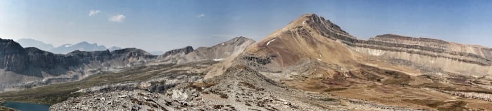
Beyond Helen Lake, alpine meadows lead to an unmarked pass.
Overview
Map & elevation
Plan your hike

The highest, rockiest slopes around here are a summer buffet for grizzly bears.
Banff Tour Guide
Parkwolf is a GPS audio tour guide for Banff National Park. As you drive, it chimes in with what’s ahead: hidden gems, upcoming stops, history, geology, and wildlife, right through your car’s speakers.
See the Banff audio tourRecorded for this trailhead
Helen Lake and the Cirque Peak Choice“Helen Lake trailhead is coming up, for a four-to-five-hour mountain walk through forest and alpine meadows. The lake is modest; I'd choose this hike for the views of Bow Lake and Crowfoot Glacier along the way.”
Plays as you drive up to this trailhead in the Parkwolf Banff Tour Guide.
More stories near here in the app
“…Loved the commentary as you drove thru. I’m sure the app can do more than I know but the tips were very helpful. I’m gonna use it when we go to Banff next month.”


Trail guide
Dolomite Pass Trail is an 11.1-mile (17.8-km) out-and-back from the Helen Lake trailhead to Lake Katherine and an unmarked pass. The route climbs through forest and meadows, rises over a ridge, drops toward Lake Katherine, then follows faint alpine tread to a tarn by the pass. Parks Canada allows 6–7 hours and lists 655 m of ascent with 215 m of descent. Go for the pass if you want a long, rugged alpine day; Helen Lake at 7.2 miles round trip and the ridge at 8.6 are good shorter turnarounds.
The trail leaves the northeast side of the small parking area and climbs through spruce-fir forest. Exposed roots catch at the lower path, and a few openings look south toward Bowcrow Peak and Bow Peak. The grade eases briefly before climbing again; higher up, the trees thin into meadows above Helen Creek. Bow Lake and Crowfoot Mountain appear as the forest opens. After a creek crossing, a broad meadow leads to Helen Lake beneath a rugged headwall.
Helen Lake makes a worthwhile shorter hike, but the pass route keeps going along the lake’s east shore and climbs through meadow and rocky slopes to a ridge. Near 4.1 miles from the trailhead, a left branch climbs toward Cirque Peak; stay on the main route for Dolomite Pass. From the ridge, Bow Peak, Crowfoot Mountain and the Waputik summits spread out to the west. Lake Katherine sits below the jagged towers of Dolomite Peak, and Mount Assiniboine may show through the gap between Bow Peak and Crowfoot on a clear day. For a photo, frame Lake Katherine under Dolomite Peak from the ridge; it shows how the lake sits beneath the cliffs.
The route drops more than 300 feet in about half a mile across rocky alpine meadow to Lake Katherine’s north shore. Beyond the lake, the tread thins to a boot-beaten path through tundra. The pass is unmarked and its exact spot is hard to pick out; a small tarn is the landmark. Dolomite Peak rises above the valley, while the wine-coloured folds below Cirque Peak and the Watermelon massif give the pass its geology lesson. Turn around here. The route beyond descends Dolomite Creek and is a separate strenuous backpack with several deep creek crossings.
Use the small Helen Lake/Dolomite Pass parking area on the east side of the Icefields Parkway, across from Crowfoot Glacier Viewpoint, 33 km north of the Lake Louise junction. The park’s prime hiking season is July to mid-September; many alpine passes stay snowbound until late June, with most clear by mid-July. Dogs are allowed on summer trails unless a restriction says otherwise, and must remain leashed and under physical control.
Wildlife
 123 sightingsGrizzly BearMost seen around 6 AMSighting map
 150 sightingsBrown BearMost seen around 6 PMSighting map
 44 sightingsGray WolfMost seen around 6 AMSighting map
 12 sightingsRiver OtterMost seen around 8 PMSighting map
 69 sightingsMooseMost seen around 8 PMSighting map
 466 sightingsBlack BearMost seen around 9 PMSighting map
Sighting maps show where each species has been reported across Banff. Wildlife moves, so no sighting is guaranteed.
Keep exploring
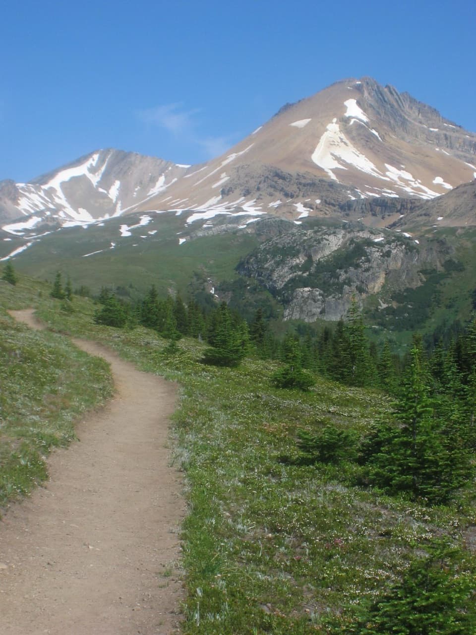 ModerateHelen Lake Trail11.7 km · 4.5 hr · At the trailheadA rooty climb earns glacier views before a modest alpine lake.
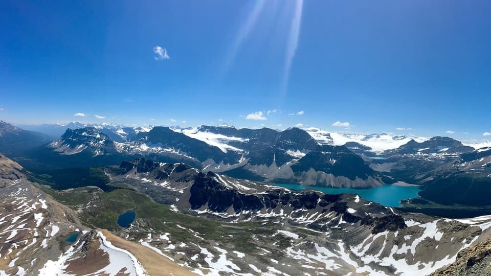 ChallengingCirque Peak Trail via Helen Lake16.3 km · 6.5 hr · At the trailheadA hands-on summit above Bow Lake and the Wapta Icefield.
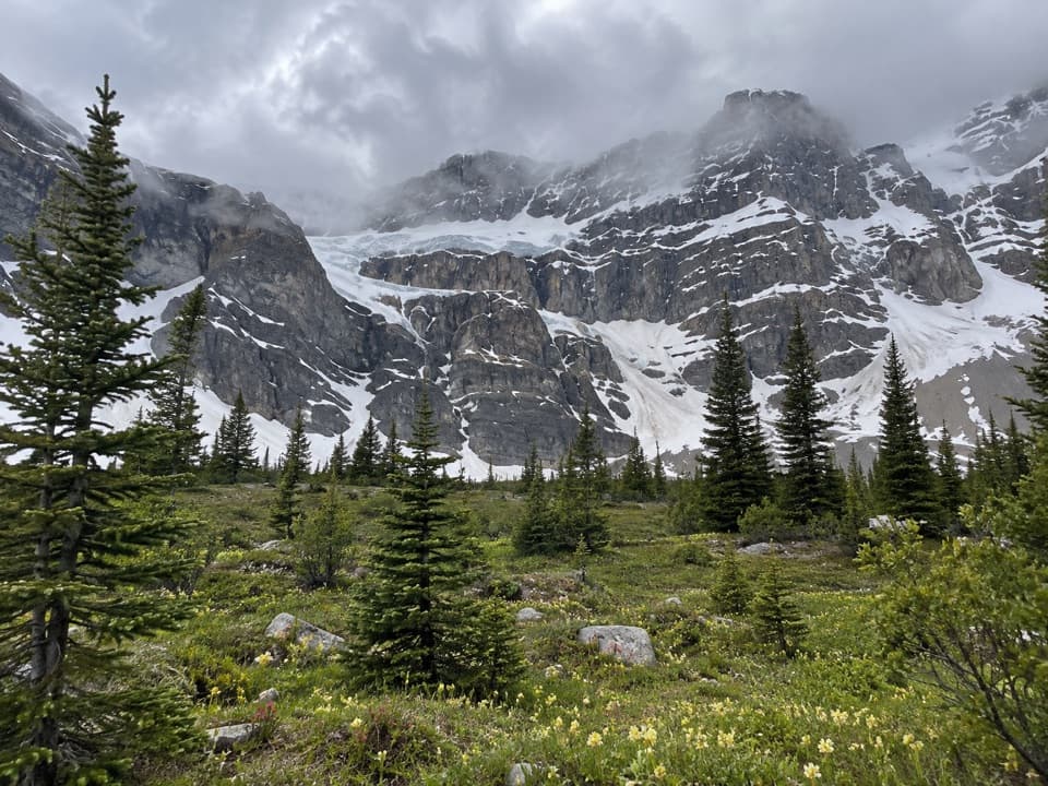 ChallengingCrowfoot Pass and Balfour Viewpoint Trail15.4 km · 6 hr · 1.1 km awayA cold ford, a broad pass, and a waterfall view.
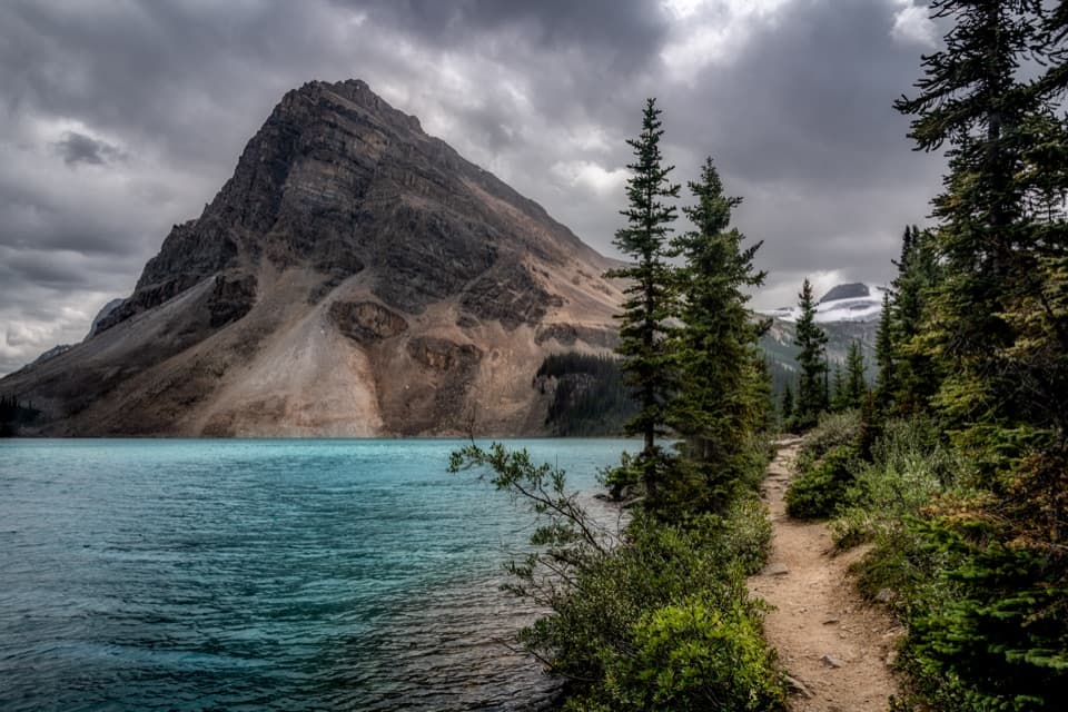 EasyBow Lake Lakeshore Trail3.4 km · 45 min · 2.4 km awayA flat shore walk with turquoise water and Crowfoot Glacier in view.ChallengingBow Hut Trail16 km · 5.3 hr · 2.4 km awayA rough canyon and moraine approach to a hut beneath the icefield.
 ModerateBow Glacier Falls Trail5.6 km · 2.5 hr · 2.6 km awayLakeshore, gorge, glacier water, and a waterfall view from the marked end.
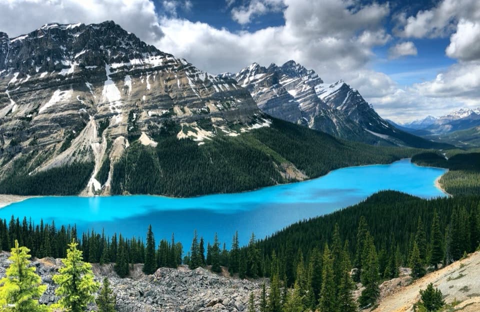 EasyPeyto Lake Lookout Trail1.2 km · 30 min · 7.2 km awayA quick uphill walk to a bright lake framed by rugged mountains.
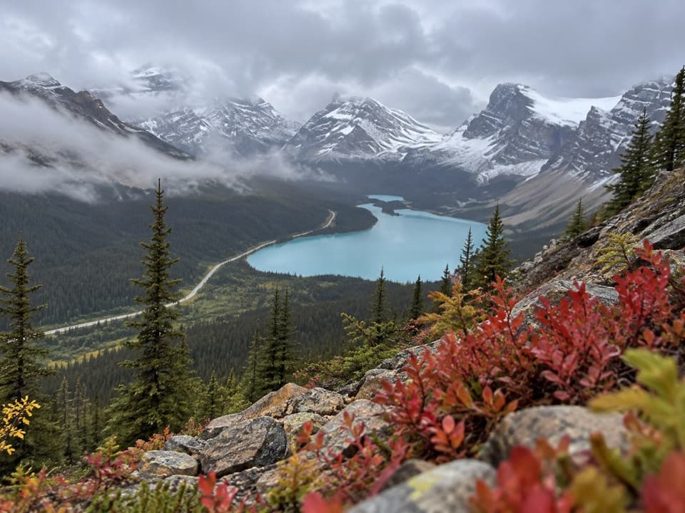 ModerateBow Summit Viewpoint Trail6.4 km · 2.5 hr · 7.3 km awayGo beyond Peyto’s busy platform for a Bow Lake view.
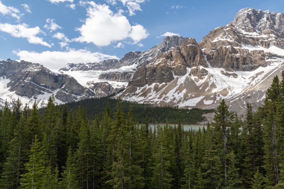 Sight · 0.1 km awayCrowfoot Glacier ViewpointA quick glacier stop with the story of its missing toe.
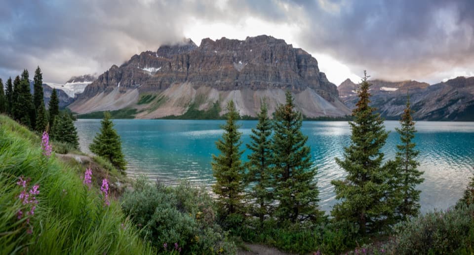 Picnic area · 1.3 km awayBow Lake Picnic SiteA quick pullout for clear lake water and high mountain views.
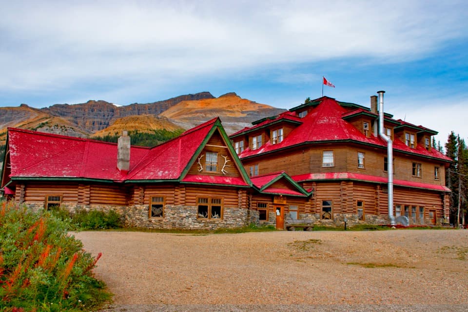 Lodging · 2.5 km awayThe Lodge at Bow LakeStay beside Bow Lake in a storied Icefields Parkway lodge.
 Sight · 2.6 km awayBow LakeTurquoise water and glacier views, just off the Icefields Parkway.Sight · 4.3 km awayBow Glacier FallsA waterfall in the rocky basin where the Bow River begins.
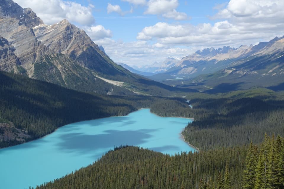 Sight · 7.6 km awayPeyto Lake ViewpointA short climb opens onto a wolf-shaped lake in the peaks.
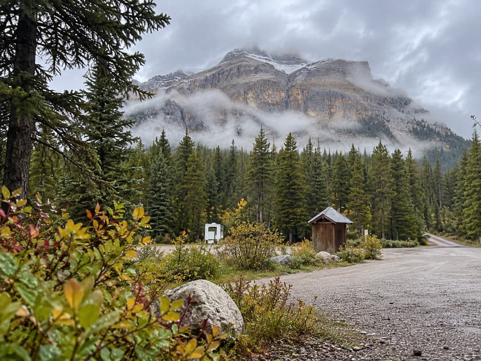 Campground · 8.3 km awayMosquito Creek CampgroundCreekside sites and mountain views at a basic Parkway campground.
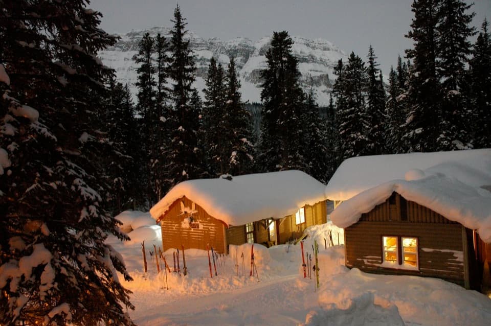 Lodging · 8.4 km awayHI Mosquito Creek Wilderness HostelA remote base with a sauna and trails just outside.
Parkwolf’s Banff ranking

The audio tour guide for the drive, plus offline maps, trails, and wildlife heatmaps for when the signal drops.





