Parking
Use the signed Helen Lake and Dolomite Pass trailhead lot on the east side of the Icefields Parkway (Highway 93). The lot is limited and fills on busy days; roadside parking is prohibited.
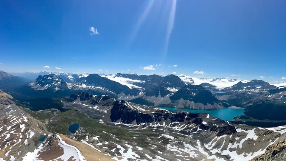
Banff National Park, AB
A hands-on summit above Bow Lake and the Wapta Icefield.
Overview
Map & elevation
Plan your hike

The highest, rockiest slopes around here are a summer buffet for grizzly bears.
Banff Tour Guide
Parkwolf is a GPS audio tour guide for Banff National Park. As you drive, it chimes in with what’s ahead: hidden gems, upcoming stops, history, geology, and wildlife, right through your car’s speakers.
See the Banff audio tourRecorded for this trailhead
Helen Lake and the Cirque Peak Choice“Helen Lake trailhead is coming up, for a four-to-five-hour mountain walk through forest and alpine meadows. The lake is modest; I'd choose this hike for the views of Bow Lake and Crowfoot Glacier along the way.”
Plays as you drive up to this trailhead in the Parkwolf Banff Tour Guide.
More stories near here in the app
“…Loved the commentary as you drove thru. I’m sure the app can do more than I know but the tips were very helpful. I’m gonna use it when we go to Banff next month.”


Trail guide
Cirque Peak via Helen Lake is a 10.1-mile (16.2-km) out-and-back from the Helen Lake and Dolomite Pass trailhead. The first 7.5 miles take you to Helen Lake; the final 2.6 miles round trip climb through open alpine terrain to the first, west summit. Allow about six to seven hours, with roughly 3,700 feet (1,130 m) of cumulative climbing. Choose it for a long mountain day and a summit panorama over Bow Lake and the Wapta Icefield. If you want a shorter outing, Helen Lake is a worthwhile turnaround; you still reach open country and see the peak without taking on the summit scramble.
The signed path climbs from the east side of the Icefields Parkway through spruce-fir forest. The dirt tread rises steadily, with roots underfoot, before the trees thin after roughly 4.5 km. From here, open meadows bring Cirque Peak into view ahead, while Bow Lake and Crowfoot Glacier appear behind you. Cross a rockslide and Helen Creek before reaching Helen Lake, about 6 km from the lot. In midsummer, visitors report flowers in the meadows and marmots around the rocky lake basin, though neither is a guarantee.
The lake-only hike is about 7.5 miles round trip. To continue to the summit, follow the right side of the lake and climb the headwall beside the cliffs, staying on the established path instead of cutting straight up. The route gains a low ridge, then crosses a broad, sometimes marshy plateau toward the steep slope of Cirque Peak. The open basin is a good place to look back at Helen Lake and judge whether you have the energy and comfort for the harder part ahead.
The upper climb is steep, with sand and loose scree that can shift underfoot. At the rock band, look for cairns and keep to the ridge route; hikers who stay low can end up on a narrow ledge, and faint game paths on the return can lead toward exposed edges. Near the top, a short rock notch requires hands. Put poles away before climbing it and continue only if that move feels within your ability. The standard route described here ends at the first, west summit. The higher east summit is a separate, more exposed extension and is not included in this route or its distance.
From the first summit, Helen Lake lies below the ridge, with Bow Lake, Dolomite Pass and the Wapta Icefield spread across the surrounding peaks. The view changes from the enclosed lake basin to a wide sweep of glaciers, ridgelines and high valleys. For a photo that shows the height of the climb, include Helen Lake below you and Bow Lake farther out; the two lakes help give the mountain scale without edging toward the drop.
The upper route is best in the snow-free summer and early-fall window; snow can linger into early summer, so check the trail status before setting out. The designated lot is on the east side of Highway 93 and is limited; it fills on busy days, and roadside parking is prohibited. Pit toilets are at the trailhead. No water refill or food stop on the route was verified, so carry what you need for the full outing. Dogs are allowed on leash in summer, though the steep scree and hands-on notch will not suit every dog.
Wildlife
 123 sightingsGrizzly BearMost seen around 6 AMSighting map
 150 sightingsBrown BearMost seen around 6 PMSighting map
 44 sightingsGray WolfMost seen around 6 AMSighting map
 12 sightingsRiver OtterMost seen around 8 PMSighting map
 69 sightingsMooseMost seen around 8 PMSighting map
 466 sightingsBlack BearMost seen around 9 PMSighting map
Sighting maps show where each species has been reported across Banff. Wildlife moves, so no sighting is guaranteed.
Keep exploring
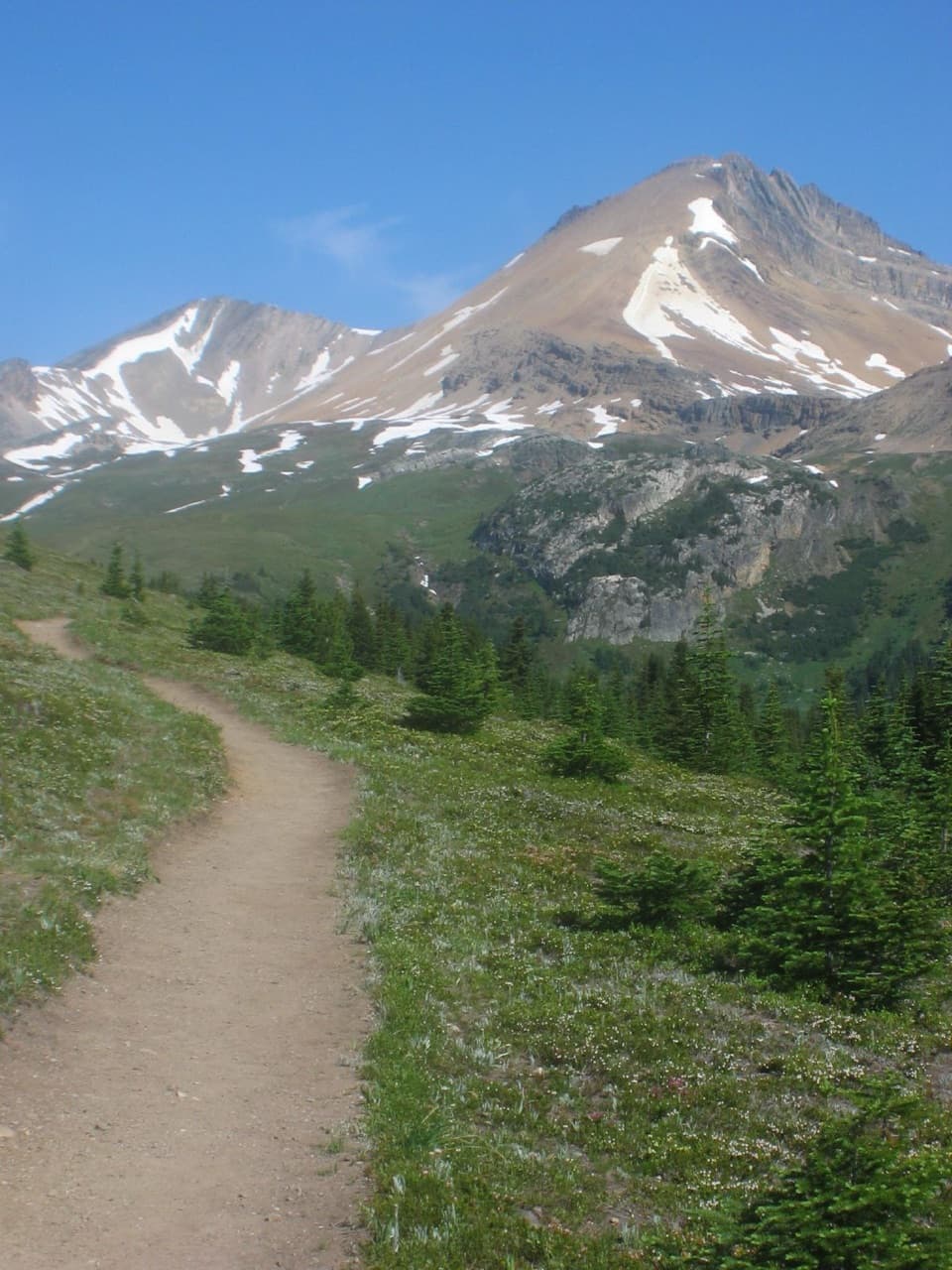 ModerateHelen Lake Trail11.7 km · 4.5 hr · At the trailheadA rooty climb earns glacier views before a modest alpine lake.
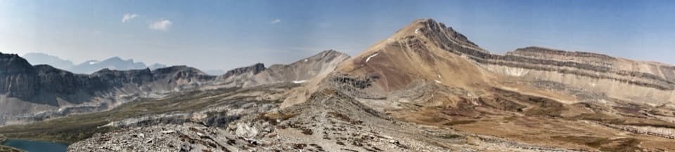 ChallengingDolomite Pass Trail17.8 km · 6.5 hr · At the trailheadBeyond Helen Lake, alpine meadows lead to an unmarked pass.
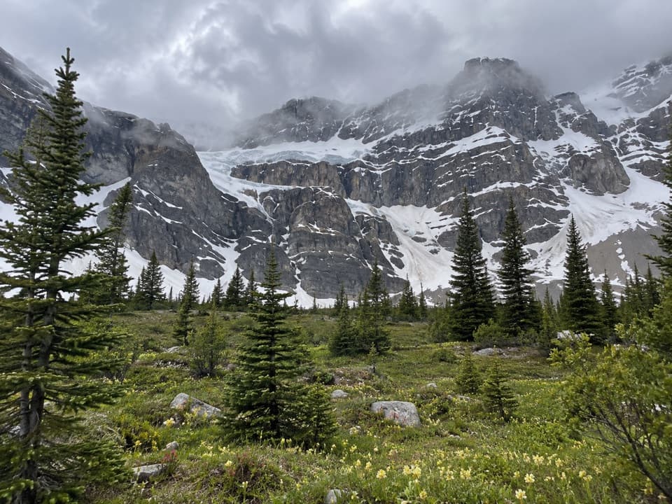 ChallengingCrowfoot Pass and Balfour Viewpoint Trail15.4 km · 6 hr · 1.1 km awayA cold ford, a broad pass, and a waterfall view.
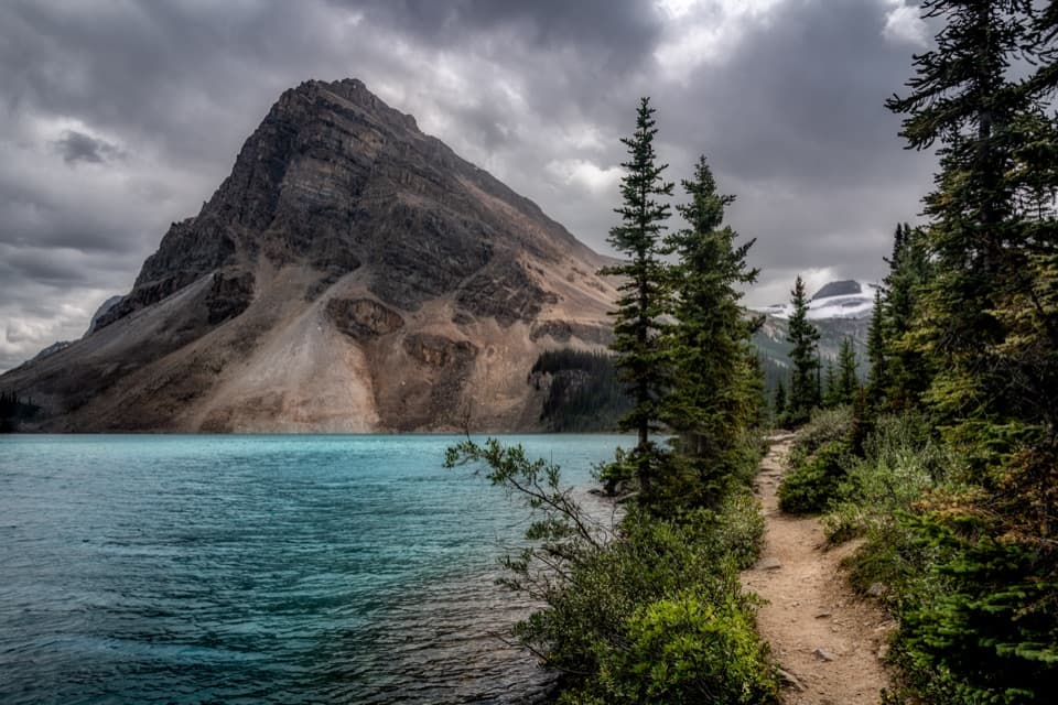 EasyBow Lake Lakeshore Trail3.4 km · 45 min · 2.4 km awayA flat shore walk with turquoise water and Crowfoot Glacier in view.ChallengingBow Hut Trail16 km · 5.3 hr · 2.4 km awayA rough canyon and moraine approach to a hut beneath the icefield.
 ModerateBow Glacier Falls Trail5.6 km · 2.5 hr · 2.6 km awayLakeshore, gorge, glacier water, and a waterfall view from the marked end.
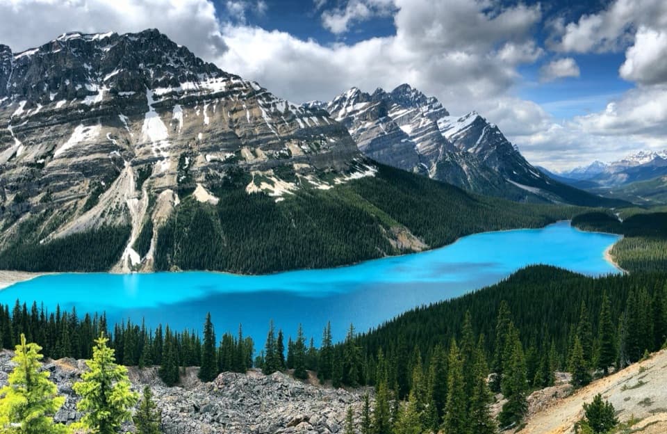 EasyPeyto Lake Lookout Trail1.2 km · 30 min · 7.2 km awayA quick uphill walk to a bright lake framed by rugged mountains.
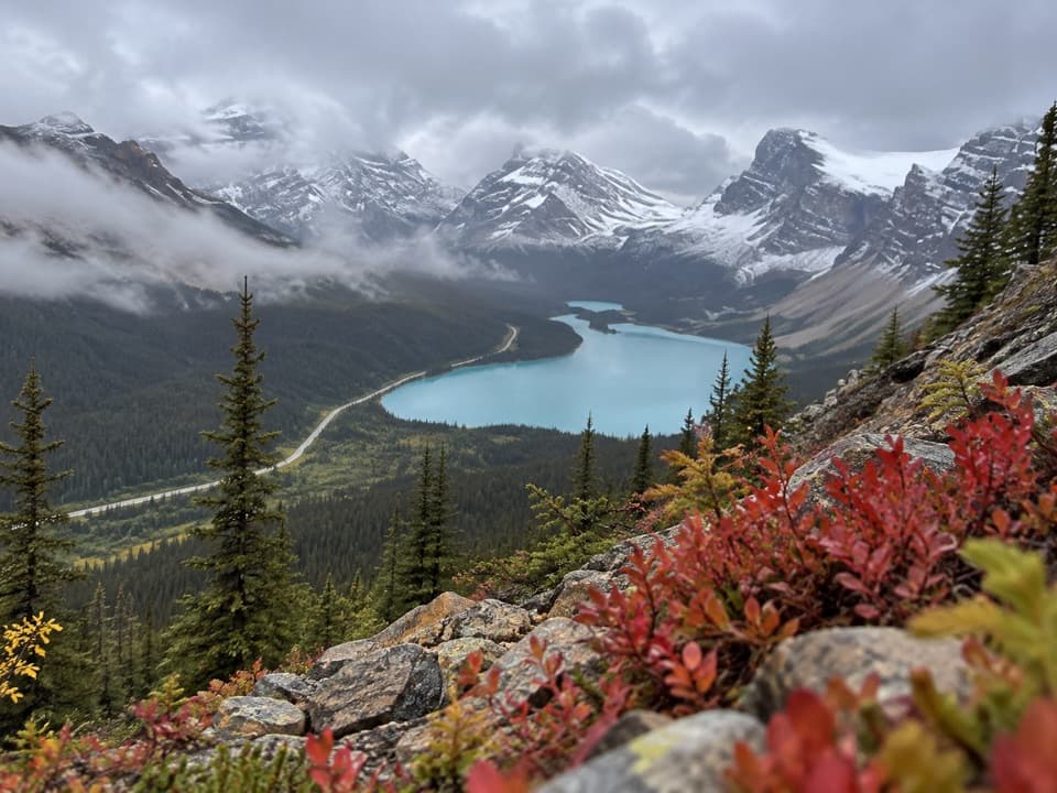 ModerateBow Summit Viewpoint Trail6.4 km · 2.5 hr · 7.3 km awayGo beyond Peyto’s busy platform for a Bow Lake view.
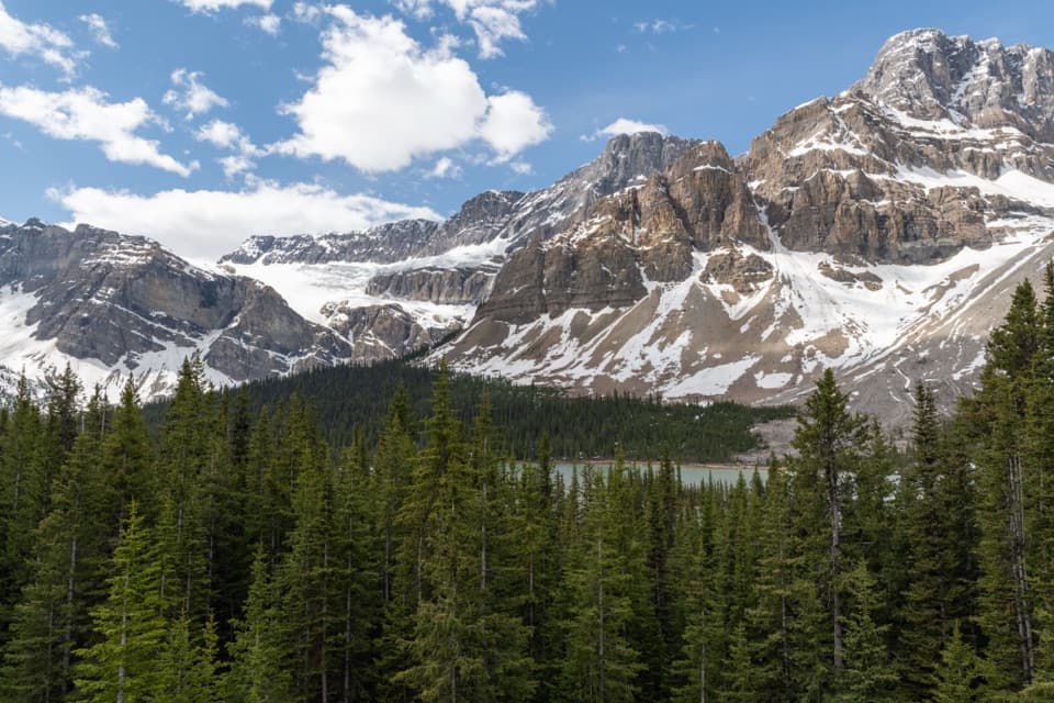 Sight · 0.1 km awayCrowfoot Glacier ViewpointA quick glacier stop with the story of its missing toe.
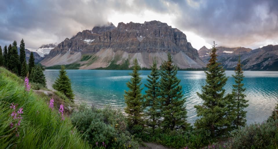 Picnic area · 1.3 km awayBow Lake Picnic SiteA quick pullout for clear lake water and high mountain views.
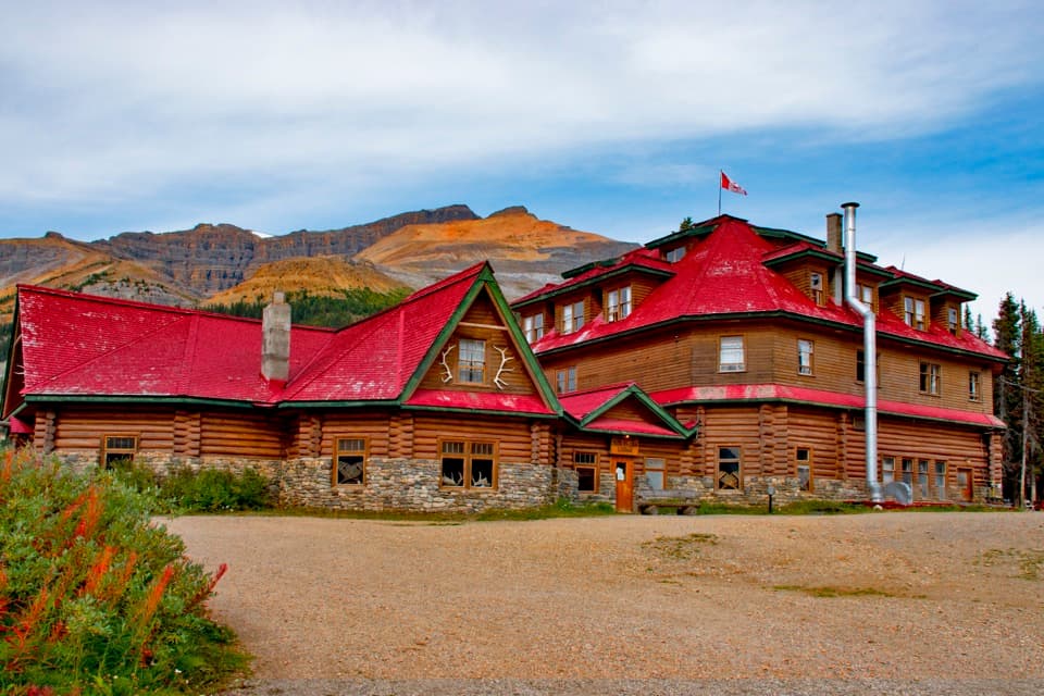 Lodging · 2.5 km awayThe Lodge at Bow LakeStay beside Bow Lake in a storied Icefields Parkway lodge.
 Sight · 2.6 km awayBow LakeTurquoise water and glacier views, just off the Icefields Parkway.Sight · 4.3 km awayBow Glacier FallsA waterfall in the rocky basin where the Bow River begins.
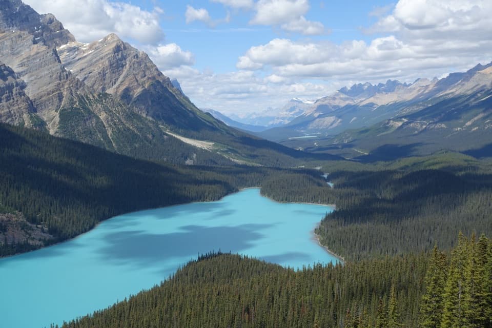 Sight · 7.6 km awayPeyto Lake ViewpointA short climb opens onto a wolf-shaped lake in the peaks.
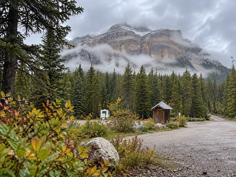 Campground · 8.3 km awayMosquito Creek CampgroundCreekside sites and mountain views at a basic Parkway campground.
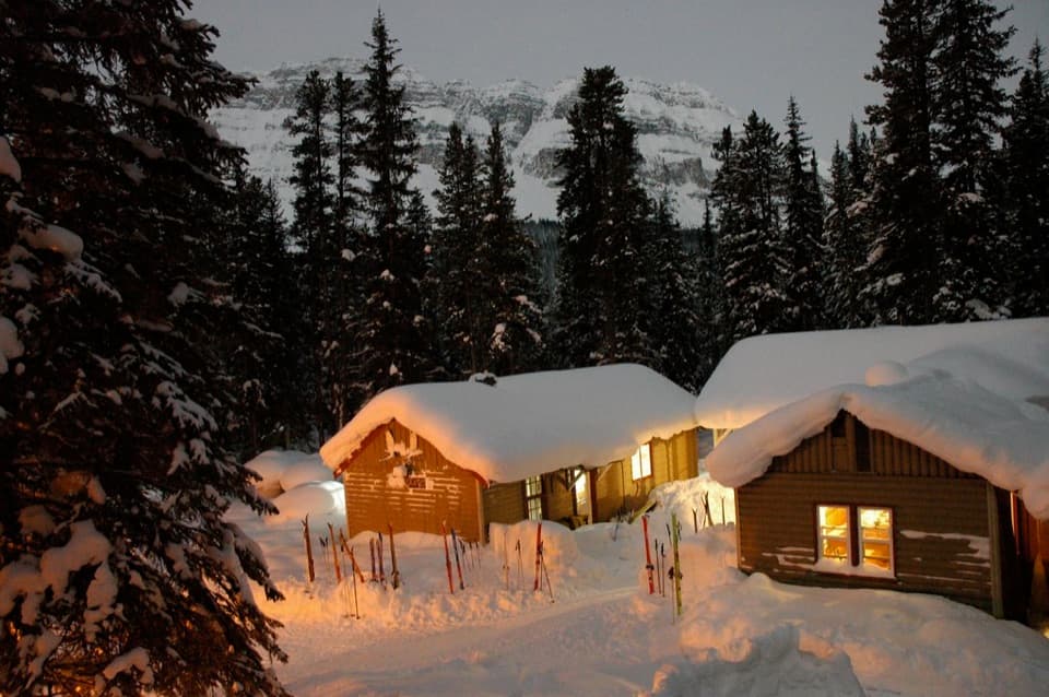 Lodging · 8.4 km awayHI Mosquito Creek Wilderness HostelA remote base with a sauna and trails just outside.
Parkwolf’s Banff ranking

The audio tour guide for the drive, plus offline maps, trails, and wildlife heatmaps for when the signal drops.





