Crowfoot Pass and Balfour Viewpoint Trail in Banff National Park

Banff National Park, AB

Crowfoot Pass and Balfour Viewpoint Trail

A cold ford, a broad pass, and a waterfall view.

Length
15.4km
Time
6hr
Elev. change
440m
Difficulty
Challenging
  • Dogs allowed
  • High point 2,367 m
  • #69 of 162 in Banff

Hear the audio tour

Crowfoot Glacier and Its Missing Toe

Overview

About Crowfoot Pass and Balfour Viewpoint Trail

Why go

  • Two small tarns sit below a long, broad alpine pass.
  • The Balfour shoulder looks toward the Waputik Icefield and a waterfall above Hector Lake.

Heads up

  • The Bow River ford is unbridged and can rise above knee depth.
  • The initial path is faint, with stream crossings, mud and fallen trees farther in.

Map & elevation

The route

Loading the Banff map
Full map
Elevation1,927–2,367 m
TrailheadSmall gravel pullout south of Crowfoot Glacier Viewpoint51.65889, -116.42560
Keep this map with you offline in the Parkwolf app

Plan your hike

Before you go

Parking

The described start is a small gravel pullout about 0.6 mile south of Crowfoot Glacier Viewpoint. Parks Canada says to park only in designated areas and prohibits roadside parking; I could not confirm this pullout is designated, so verify before using it. The footpath begins after about 320 metres along the highway shoulder, past a culvert. No toilet is provided.

Safety

The Bow Lake outlet ford is unbridged, has a noticeable current and can rise later in the day; a July report found it above knee depth on return. The route is unofficial and the highway descent is faint; expect stream crossings, mud and fallen trees. Confirm that the described pullout is a designated parking area before setting out. Bow Peak is a separate, hazardous boulder scramble and is not part of this route.

8 active Banff alerts

  • ClosureJohnston Canyon Trail and Day Use Area closedJohnston Canyon Trail and Day Use Area are closed to all traffic and travel through December 11, 2026, because construction work requires protecting public and workers’ safety.Official details
  • ClosureBaker Lake and Hidden Lake campgrounds closed to campingCamping is prohibited at Baker Lake and Hidden Lake campgrounds through December 1, 2026, because a grizzly bear entered campsites and investigated tents and gear; the closures reduce risk to…Official details
See all 8 alerts
A park ranger sits on a dash-mounted phone, talking, as Parkwolf’s Tour Guide plays “Army Cutworm Moths: A Grizzly Bear Buffet” on Grand Loop Road below Dunraven Pass in Yellowstone
Parkwolf Tour GuideThe highest, rockiest slopes around here are a summer buffet for grizzly bears.

Banff Tour Guide

Your drive to Crowfoot Pass and Balfour Viewpoint Trail, narrated.

Parkwolf is a GPS audio tour guide for Banff National Park. As you drive, it chimes in with what’s ahead: hidden gems, upcoming stops, history, geology, and wildlife, right through your car’s speakers.

See the Banff audio tour

Recorded for this area

Crowfoot Glacier and Its Missing Toe
0:00 / 0:16
“You're nearing Crowfoot Glacier Viewpoint, a roadside stop for a distant look at the ice on Crowfoot Mountain.”

Plays on the road 1 km from the trailhead in the Parkwolf Banff Tour Guide.

More stories near here in the app

  • Helen Lake and the Cirque Peak Choice
  • The Living Colour on the Rocks
  • Bow Lake Picnic Site: Follow the Road Down
  • A Pika's Winter Pantry
  • 185 audio storiesacross Banff’s roads, triggered by GPS as you drive
  • Wildlife heatmapsfor Grizzly Bear, Brown Bear, Gray Wolf, and 13 more
  • Works offlinemaps, 162 trails, 90 places, and audio download before you lose signal
  • CarPlay readysimple controls built for the drive
★★★★★
“…Loved the commentary as you drove thru. I’m sure the app can do more than I know but the tips were very helpful. I’m gonna use it when we go to Banff next month.”
tesja22App Store review
Download Parkwolf on the App StoreGet Parkwolf on Google Play

4.7 from 8,600+ ratings

Trail guide

Hiking Crowfoot Pass and Balfour Viewpoint Trail

Is this your kind of hike?Crowfoot Pass and Balfour Viewpoint is an unofficial, hard out-and-back from the Icefields…

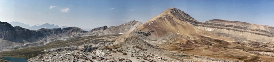
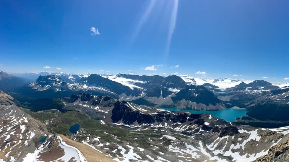
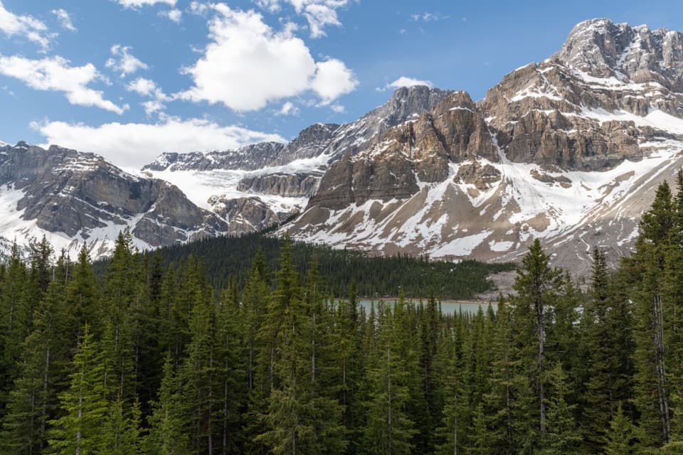
Crowfoot Pass and Balfour Viewpoint is an unofficial, hard out-and-back from the Icefields Parkway. You wade the Bow Lake outlet, climb through forest to the broad pass, then drop into another valley and climb to a shoulder with a view toward Mount Balfour, the Waputik Icefield and a waterfall above Hector Lake. Plan for about 9.6 miles round trip and five to seven hours. That distance is approximate on a faint route; the mapped path is a little shorter than half of the published GPS total. I’d choose it only if you’re comfortable with an unbridged ford and rough routefinding. The two tarns, alpine pass and Balfour view make the commitment worthwhile for a prepared backcountry hiker.

Check the start before you goThe described access is a small gravel pullout about 0.

The described access is a small gravel pullout about 0.6 mile south of Crowfoot Glacier Viewpoint. From there, walk along the Icefields Parkway shoulder, past a culvert and about 150 metres farther to a faint path down through tight trees. The mapped tread starts about 320 metres from the pullout. There’s no toilet. Parks Canada permits parking only in designated areas and prohibits roadside parking; I could not confirm this pullout is designated. Check with the park before setting out, and don’t use the shoulder if the pullout isn’t authorized. This is not a signed Parks Canada route.

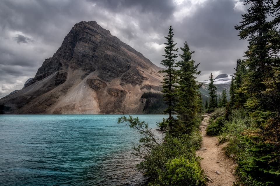
The Bow River fordThe route crosses Bow Lake’s outlet, where the Bow River begins. There’s no bridge.

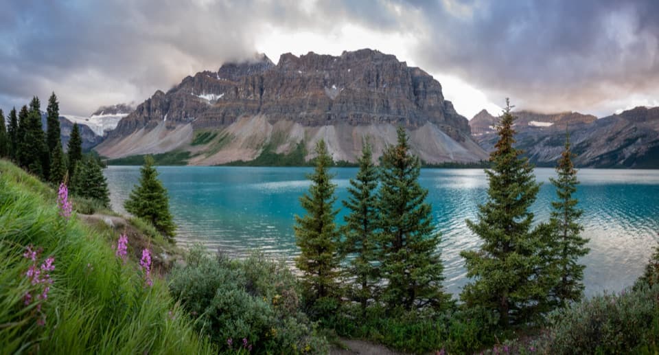
The route crosses Bow Lake’s outlet, where the Bow River begins. There’s no bridge. Route descriptions put the water around upper-calf to lower-thigh depth, while one July party found it above knee depth on the return. The current has some pull, and water can rise later in the day. Spare footwear and trekking poles help, but don’t rely on a typical depth estimate if conditions look different. If you’re not comfortable wading a cold, moving river, turn back here rather than committing to the pass.

Through the forest to Crowfoot PassAfter the ford, the path follows the Bow River through dense trees before turning uphill.

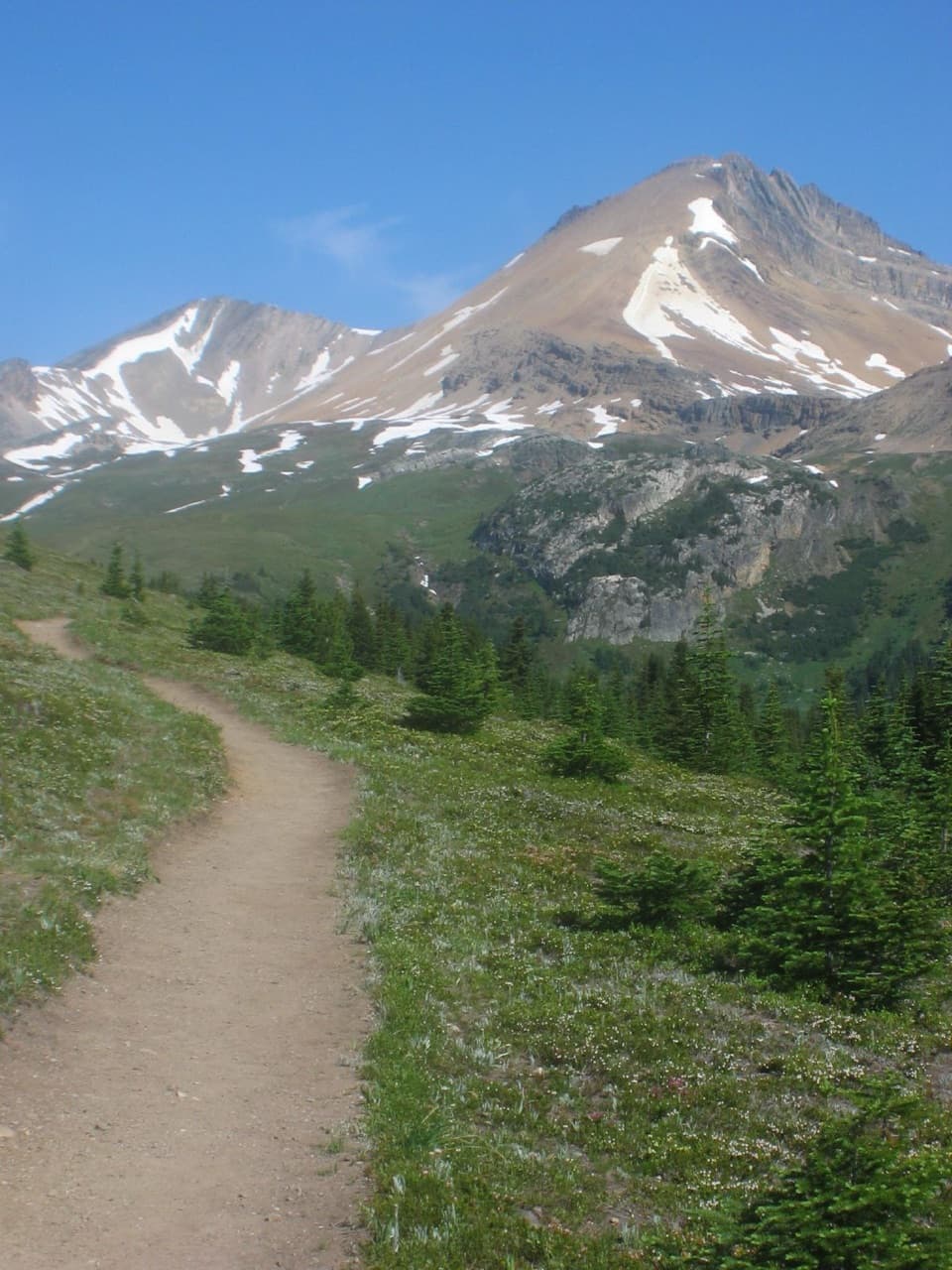
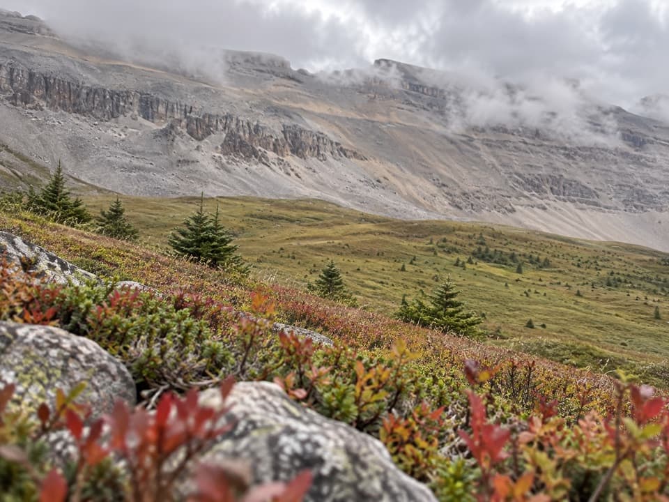
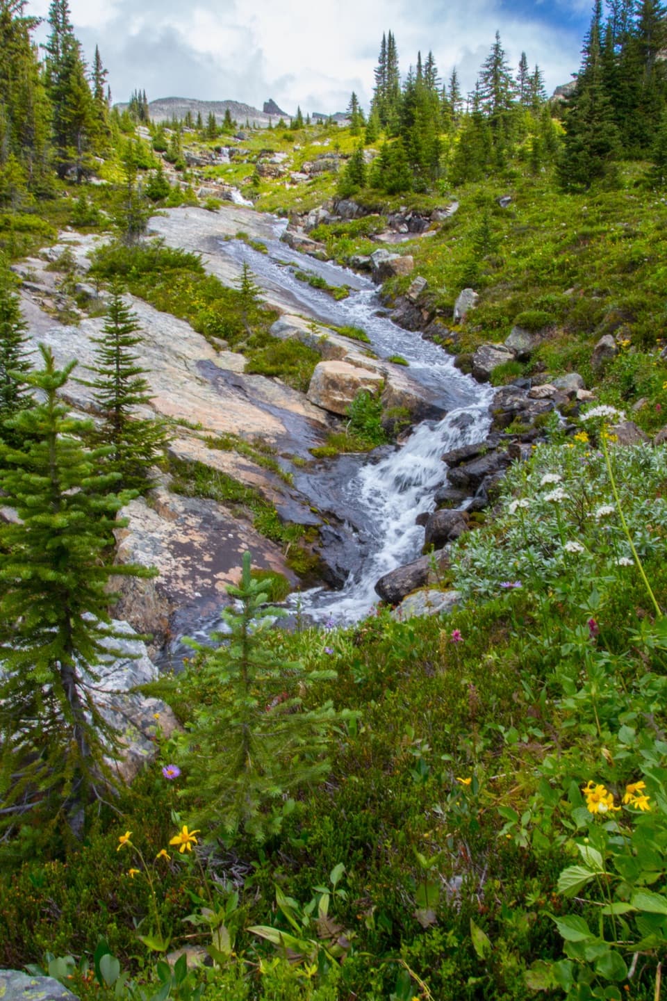
After the ford, the path follows the Bow River through dense trees before turning uphill. Small stream crossings, mud after rain and fallen trees slow this section; it’s rougher than a groomed path and takes longer than the mileage suggests. The first descent from the highway is faint; the path becomes clearer once you reach the flat beside the river. Above the forest, the route rises beside moraine left by retreating ice. Two small tarns sit just before Crowfoot Pass, a long, broad saddle rather than a sharp summit. They’re worth a pause when the wind is calm, when their surfaces can reflect the surrounding rock and ice. Banff’s higher passes can stay snowbound until late June, and early-season trails may be muddy, so plan around snow-free conditions.

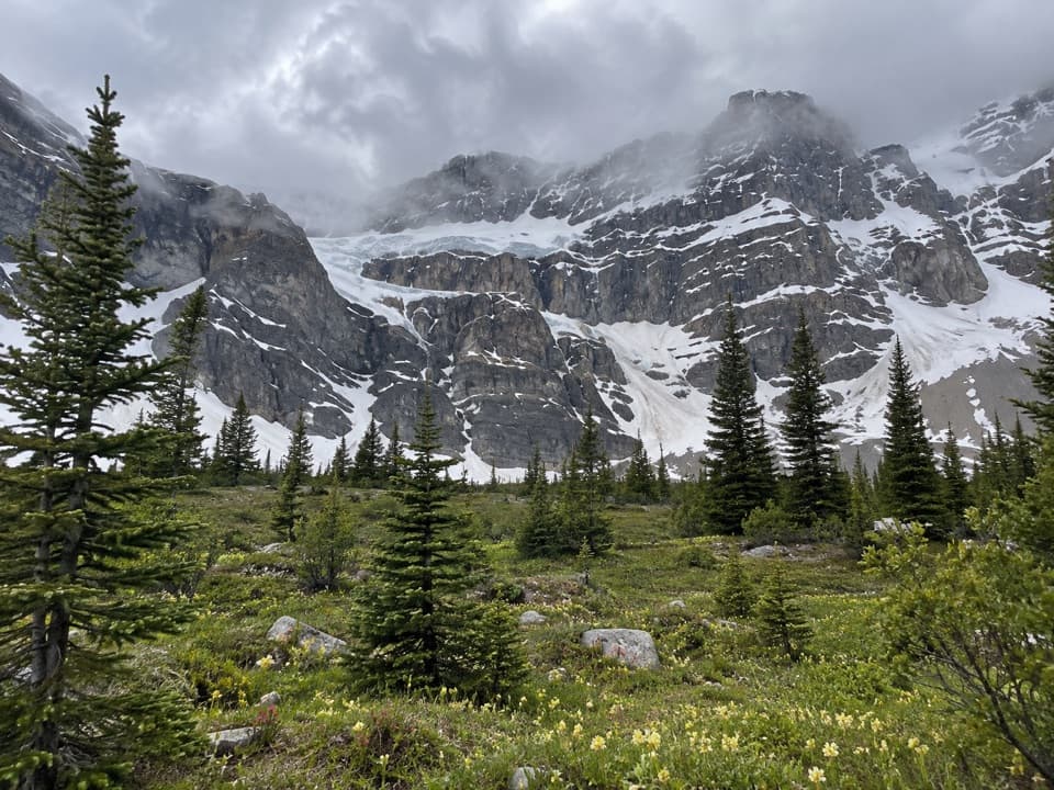
Out to Balfour ViewpointFrom the pass, drop about 500 feet down the valley, cross another stream, then climb roughly…

From the pass, drop about 500 feet down the valley, cross another stream, then climb roughly 200 feet to a shoulder or ridge. A gap through the trees frames Mount Balfour and the Waputik Icefield; a large waterfall descends toward Hector Lake. Keep track of where you climbed onto the shoulder so you can find the return line. This is an out-and-back, not a loop: retrace the viewpoint spur to Crowfoot Pass, then return by the same forest path and ford. The Bow Peak scramble is a separate, steep boulder route east of the pass, with no defined trail; it isn’t included here and is especially risky in wet weather.

Dogs and other limitsParks Canada allows dogs on Banff trails in summer unless a specific restriction applies.

Parks Canada allows dogs on Banff trails in summer unless a specific restriction applies. Keep dogs leashed and under physical control. No route-specific pet restriction was listed when checked, but this unofficial route has no confirmed official trail entry or parking access; verify both before going.

Wildlife

Wildlife in Banff

All Banff wildlife maps

Sighting maps show where each species has been reported across Banff. Wildlife moves, so no sighting is guaranteed.

Keep exploring

Near Crowfoot Pass and Balfour Viewpoint Trail

See it all on the map

Trails that start nearby

Places near the trailhead

Parkwolf’s Banff ranking

Top-rated trails in Banff

All 162 trails
  1. 1Sentinel Pass via Larch Valley TrailChallenging · 11.2 km
  2. 2Plain of Six Glaciers TrailModerate · 11.6 km
  3. 3Lake Agnes TrailModerate · 7.8 km
  4. 4Johnston Canyon Trail to Upper FallsEasy · 4.8 km
  5. 5Larch Valley / Minnestimma Lakes TrailModerate · 9 km
  6. 6Parker Ridge TrailModerate · 5.6 km

Take Parkwolf to Banff.

The audio tour guide for the drive, plus offline maps, trails, and wildlife heatmaps for when the signal drops.

4.7 from 8,600+ ratings

Download Parkwolf on the App StoreGet Parkwolf on Google Play