Parking
Use the Banff Sunshine base-area visitor lots; a Banff town shuttle also serves the base. Take the paid seasonal gondola to Upper Sunshine Village, where this route begins. The upper access road is restricted to resort vehicles.
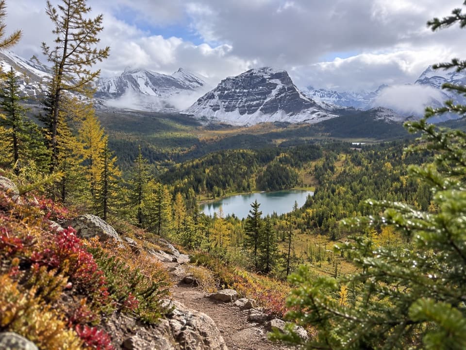
Banff National Park, AB
A rugged alpine hike to a lake beneath Quartz Ridge.
Overview
Howard Douglas Lake is a high-country turnaround on the Citadel Pass corridor, reached on foot from Upper Sunshine Village. This direct out-and-back covers about 3.6 miles to the lakeshore and 7.1 miles return along the same line; budget around 4½ hours. The route rises and falls through alpine meadows, with a high point near 7,740 feet before dropping to the lake at about 7,430 feet. It is a full high-elevation hike, not a short lakeside stroll. The listed distance follows the direct upper-village route; versions beginning at the Standish chairlift and crossing the Rock Isle network are longer.
 Parkwolf’s verdictIs this the hike for you?
Map & elevation
Plan your hike

The highest, rockiest slopes around here are a summer buffet for grizzly bears.
Banff Tour Guide
Parkwolf is a GPS audio tour guide for Banff National Park. As you drive, it chimes in with what’s ahead: hidden gems, upcoming stops, history, geology, and wildlife, right through your car’s speakers.
See the Banff audio tourMore stories near here in the app
“…Loved the commentary as you drove thru. I’m sure the app can do more than I know but the tips were very helpful. I’m gonna use it when we go to Banff next month.”


Trail guide
Use visitor lots at the Banff Sunshine base; a Banff town shuttle also serves the base. The direct route starts at Upper Sunshine Village, reached by the paid seasonal gondola. The upper access road is restricted to resort vehicles. The Standish chairlift is a separate starting point above the village and is not included in this route's mileage. Ordinary dogs cannot ride the resort lifts or enter the resort; registered service dogs are excepted.
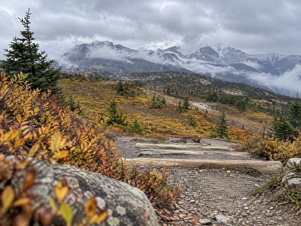
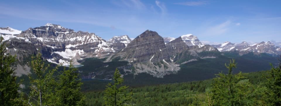
Follow the signed Citadel Pass trail southeast. The path crosses open meadows and rolls across ridges before descending to Howard Douglas Lake; the high point near 7,740 feet is by Quartz Ridge. Views open toward Balls Peak to the north and Mount Assiniboine to the south. Keep to the marked tread through the delicate alpine vegetation.
The mapped tread passes within a few feet of the lakeshore; the stored line ends at the nearest established point on the path. Nearby Su8 is a backcountry campground with five tent sites; an overnight stay needs a park backcountry reservation and permit. Day hikers use the lake as the turnaround. The Citadel Pass route continues onward, but that longer outing is not included here.
The strongest perspective is from the descending path near Quartz Ridge, looking over the lake toward the peaks. Keep a piece of rocky tread in the foreground to show the slope and the scale of the basin.
Wildlife
 123 sightingsGrizzly BearMost seen around 6 AMSighting map
 150 sightingsBrown BearMost seen around 6 PMSighting map
 44 sightingsGray WolfMost seen around 6 AMSighting map
 12 sightingsRiver OtterMost seen around 8 PMSighting map
 69 sightingsMooseMost seen around 8 PMSighting map
 466 sightingsBlack BearMost seen around 9 PMSighting map
Sighting maps show where each species has been reported across Banff. Wildlife moves, so no sighting is guaranteed.
Keep exploring
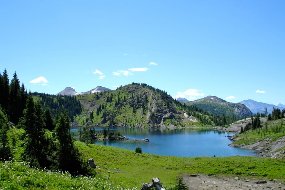 ModerateRock Isle Lake Trail4 km · 2 hr · At the trailheadCross the Divide for a close view of the lake’s wooded island.
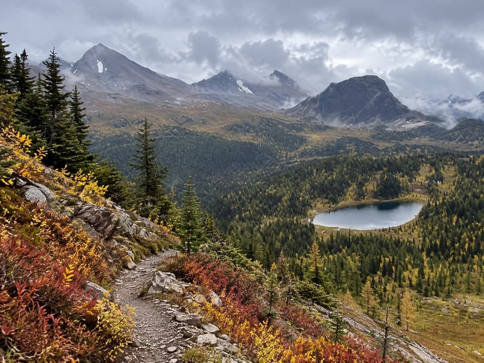 ChallengingCitadel Pass Trail18.2 km · 6.5 hr · At the trailheadQuartz Ridge's lake view is only the first act.
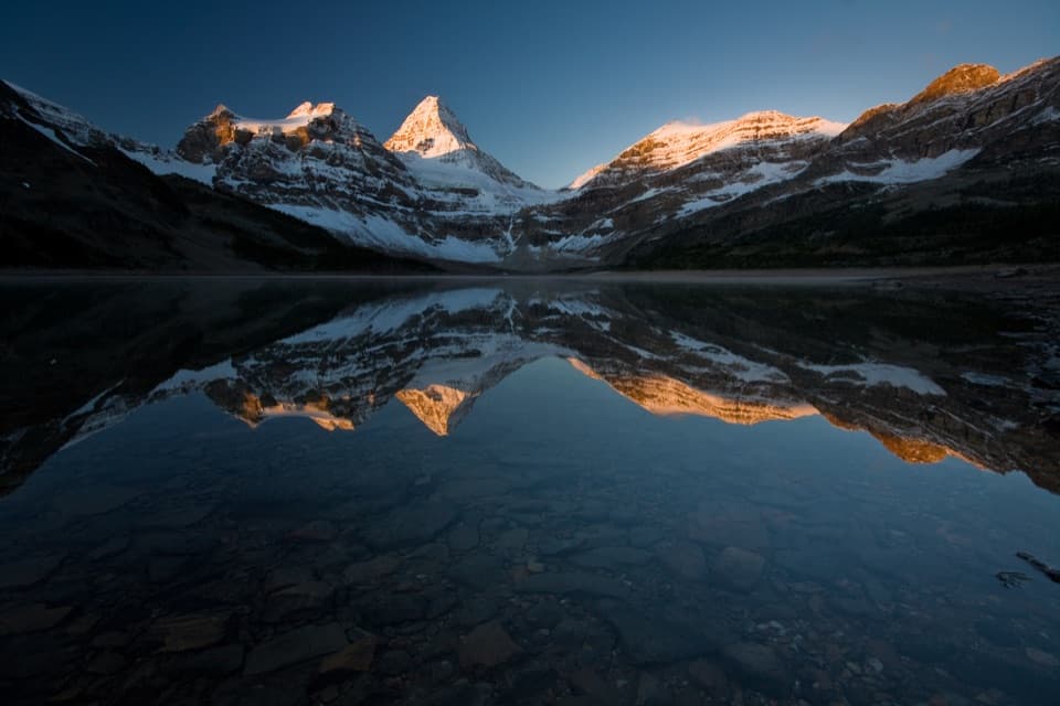 ChallengingSunshine–Assiniboine–Bryant Creek Traverse55.5 km · 23 hr · 0.1 km awayTwo passes, Lake Magog, and a long exit through Bryant Creek.
 ModerateSimpson Pass Trail10.5 km · 5 hr · 0.2 km awayA long meadow walk to a quiet saddle on the Alberta–B.C. border.
 ChallengingSunshine–Egypt Lake–Vista Lake Traverse41.5 km · 20 hr · 0.4 km awayFour days from Sunshine Village to Vista Lake across high passes.
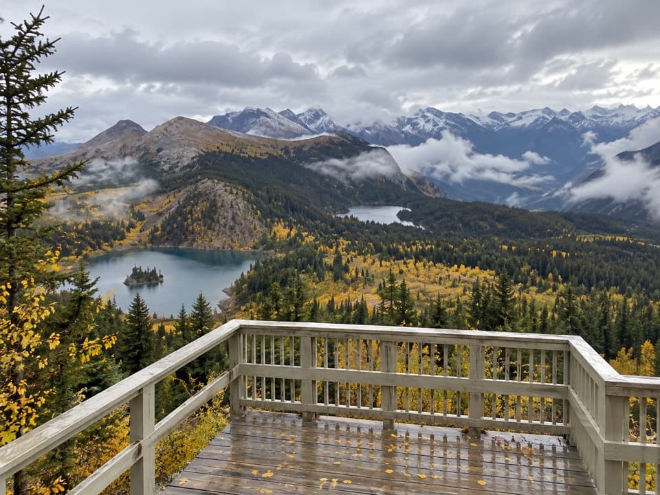 EasyStandish Viewpoint Loop0.6 km · 30 min · 0.8 km awayA short lift-access loop to three alpine lakes.
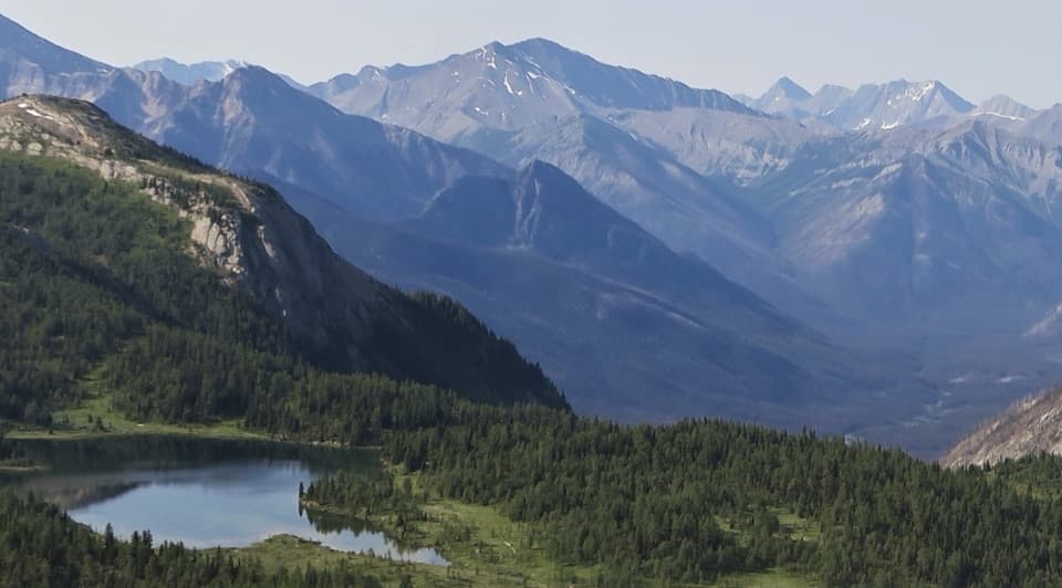 ModerateLarix Lake and Grizzly Lake Loop2.5 km · 2.5 hr · 1.9 km awayTwo alpine lakes, a narrow bridge, and Simpson Valley views.ChallengingHealy Pass Trail17.6 km · 6.5 hr · 4.4 km awayA long forest walk pays off in larch meadows and pass views.
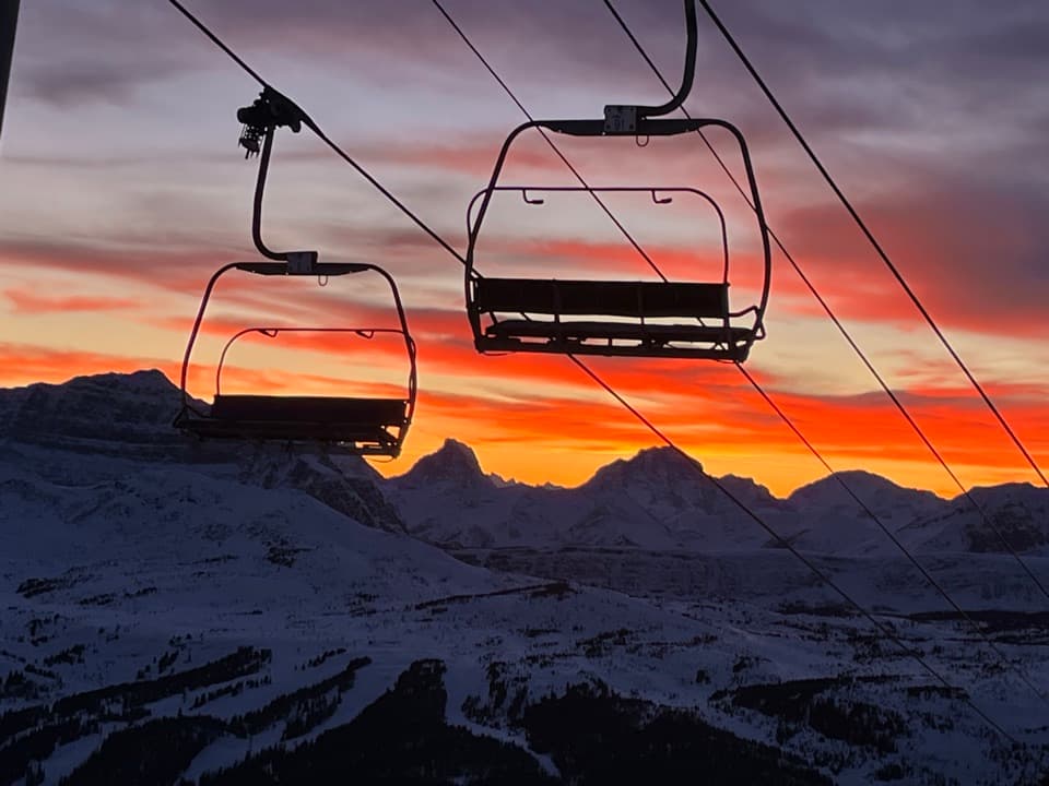 Sight · 0.4 km awayBanff Sunshine VillageTwo lifts carry you into high meadows and a sweeping mountain panorama.
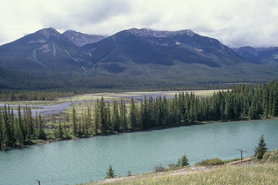 Scenic pullout · 11.8 km awayBackswamp ViewpointA quick Bow Valley stop with the river and Bourgeau in view.
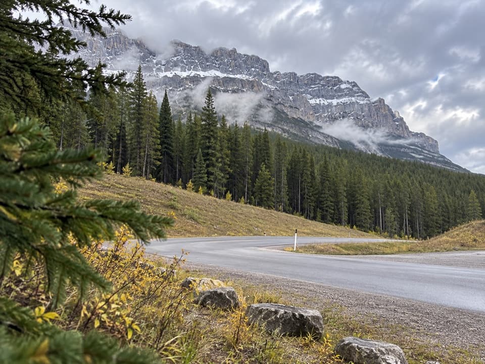 Picnic area · 12.1 km awayMuleshoe Picnic AreaPicnic tables, outhouses and a chance to watch for birds.
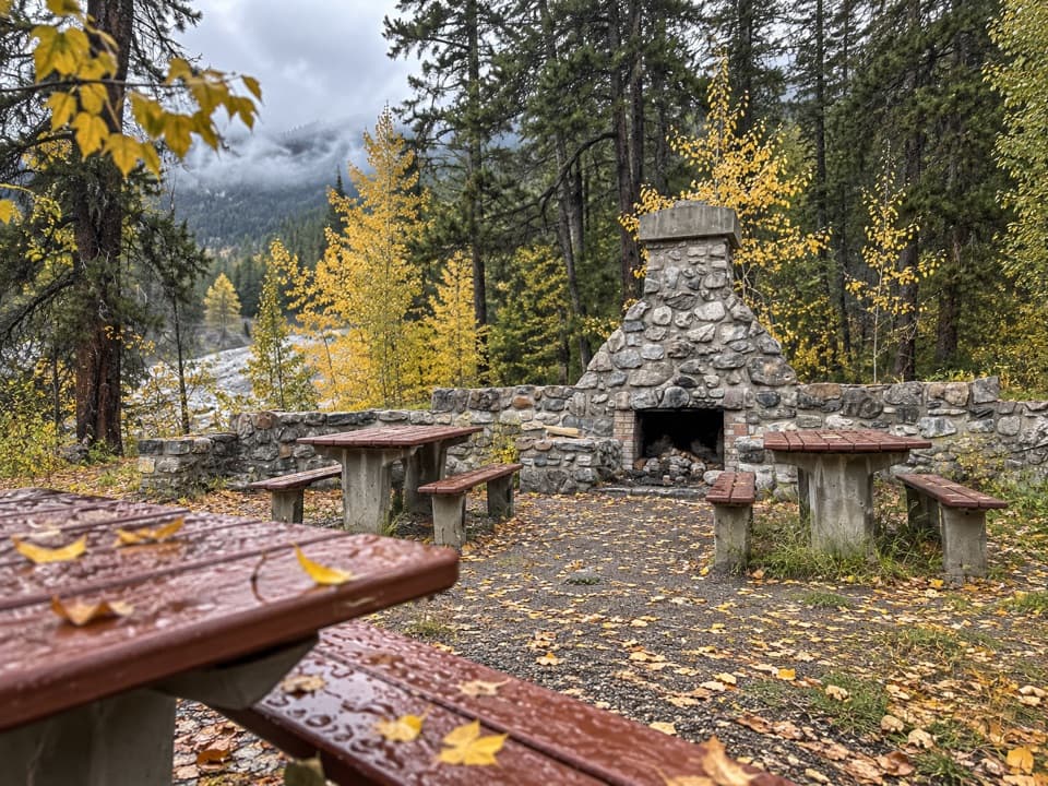 Picnic area · 14 km awayFireside Day-use AreaA quick picnic stop with trail access at the Parkway's eastern end.
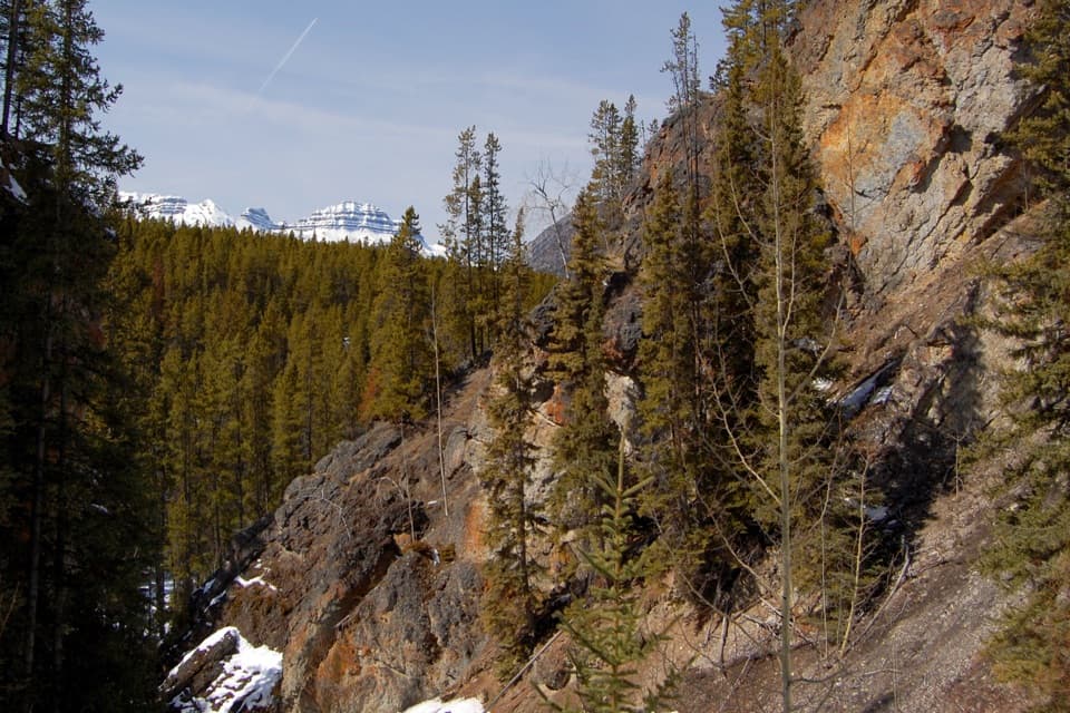 Sight · 14.4 km awaySundance CanyonA tight gorge and small waterfall reward the long approach.
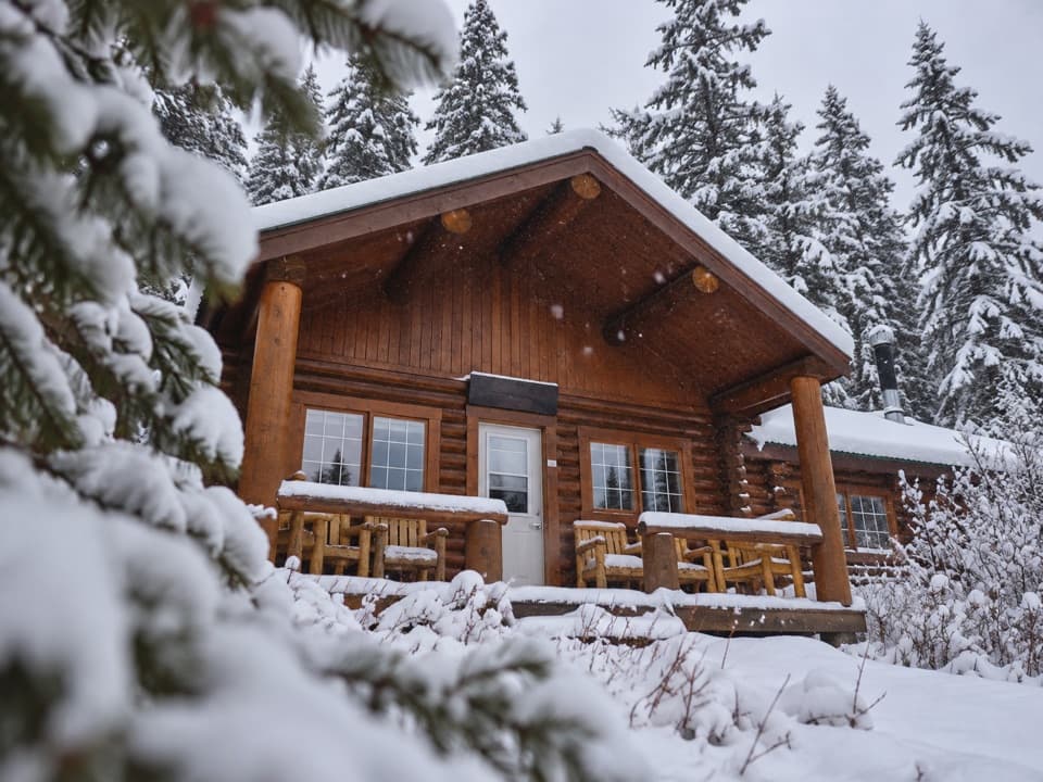 Lodging · 15.3 km awayShadow Lake LodgeA backcountry cabin stay with high peaks beyond the lodge door.
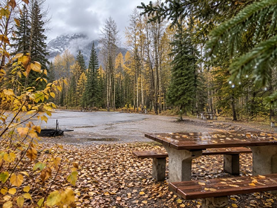 Picnic area · 15.5 km awaySawback Picnic AreaTables, outhouses and mountain views make a practical Parkway break.
Parkwolf’s Banff ranking
The audio tour guide for the drive, plus offline maps, trails, and wildlife heatmaps for when the signal drops.





