Sunshine–Egypt Lake–Vista Lake Traverse in Banff National Park

Banff National Park, AB

Sunshine–Egypt Lake–Vista Lake Traverse

Four days from Sunshine Village to Vista Lake across high passes.

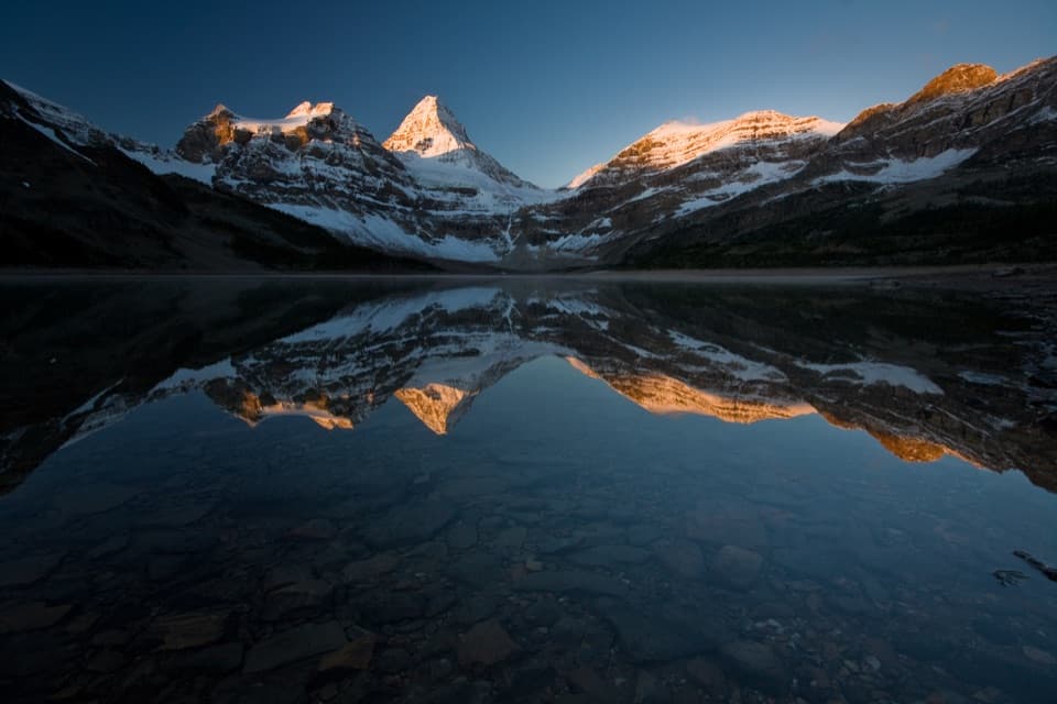
Photo: Wikimedia Commons
Length
41.5km
Time
20hr
Elev. change
736m
Difficulty
Challenging
  • Dogs allowed
  • High point 2,330 m
  • #62 of 162 in Banff
Parkwolf audio tour185 stories across Banff’s roads

Overview

About Sunshine–Egypt Lake–Vista Lake Traverse

Why go

  • Alpine passes, lakes and meadows keep the route varied
  • Three reserved camps split the crossing into four days

Heads up

  • Requires backcountry reservations and one-way transport
  • Several steep high-country climbs with a full pack
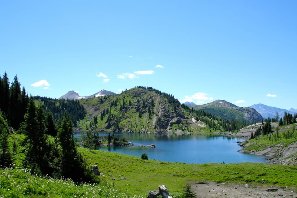
Sunshine–Egypt Lake–Vista Lake is a 41.5 km one-way backcountry traverse from Sunshine Village to the Vista Lake viewpoint on Highway 93 South. It crosses Simpson, Healy, Whistling and Gibbon passes, linking alpine lakes, meadows and stretches of forest. Parks Canada’s itinerary uses three nights at Egypt Lake, Ball Pass Junction and Twin Lakes, so plan four days. If you want one big Banff backpacking trip with a different landscape at each camp, this is a strong pick. You’ll carry everything over several high passes; it’s a real crossing, not an easy walk to one lake.
Parkwolf’s verdictIs this the trip for you?

Map & elevation

The route

Loading the Banff map
Full map
Elevation1,594–2,330 m
TrailheadSunshine Village ski area51.07852, -115.77646
Keep this map with you offline in the Parkwolf app

Plan your hike

Before you go

Parking

Start at Sunshine Village ski area. Parks Canada lists a summer Sunshine Shuttle to the Healy Pass trailhead and seasonal, fee-based gondola access to the village. The finish is Vista Lake trailhead on Highway 93 South, with no public transit or shuttle back; arrange pickup or a vehicle shuttle.

Safety

Reserve the three backcountry campsites and carry the required permits and National Park Pass. High passes can hold snow into late June and get snow in summer; streams run high in June and July. Dogs must stay leashed and under control and are not allowed in backcountry shelters. Near Lower Twin Lakes, a reported shoreline track can peter out at steep scree; follow the marked route up the ridge.

8 active Banff alerts

  • ClosureJohnston Canyon Trail and Day Use Area closedJohnston Canyon Trail and Day Use Area are closed to all traffic and travel through December 11, 2026, because construction work requires protecting public and workers’ safety.Official details
  • ClosureBaker Lake and Hidden Lake campgrounds closed to campingCamping is prohibited at Baker Lake and Hidden Lake campgrounds through December 1, 2026, because a grizzly bear entered campsites and investigated tents and gear; the closures reduce risk to…Official details
See all 8 alerts
A park ranger sits on a dash-mounted phone, talking, as Parkwolf’s Tour Guide plays “Army Cutworm Moths: A Grizzly Bear Buffet” on Grand Loop Road below Dunraven Pass in Yellowstone
Parkwolf Tour GuideThe highest, rockiest slopes around here are a summer buffet for grizzly bears.

Banff Tour Guide

Your drive to Sunshine–Egypt Lake–Vista Lake Traverse, narrated.

Parkwolf is a GPS audio tour guide for Banff National Park. As you drive, it chimes in with what’s ahead: hidden gems, upcoming stops, history, geology, and wildlife, right through your car’s speakers.

See the Banff audio tour

More stories near here in the app

  • Sunshine Village: Lifts to the Meadows
  • The Grouse That Grows a Bigger Gut
  • Two Ways to Ice a Branch
  • The Rectangular Holes in the Tree
  • 185 audio storiesacross Banff’s roads, triggered by GPS as you drive
  • Wildlife heatmapsfor Grizzly Bear, Brown Bear, Gray Wolf, and 13 more
  • Works offlinemaps, 162 trails, 90 places, and audio download before you lose signal
  • CarPlay readysimple controls built for the drive
★★★★★
“…Loved the commentary as you drove thru. I’m sure the app can do more than I know but the tips were very helpful. I’m gonna use it when we go to Banff next month.”
tesja22App Store review
Download Parkwolf on the App StoreGet Parkwolf on Google Play

4.7 from 8,600+ ratings

Trail guide

Hiking Sunshine–Egypt Lake–Vista Lake Traverse

Sort the access firstThis is a point-to-point trip, so plan the finish before you leave.

This is a point-to-point trip, so plan the finish before you leave. Parks Canada lists a summer shuttle to the Healy Pass trailhead and seasonal, fee-based gondola access to Sunshine Village. There’s no public transit or shuttle back from the Vista Lake trailhead on Highway 93 South; arrange a pickup or vehicle shuttle. Reserve the three backcountry campsites and carry the required permits and National Park Pass. Dogs can use the summer route on leash and under control, but aren’t allowed inside backcountry shelters.
Sunshine to Egypt LakeThe route heads through the Simpson Pass area before climbing to Healy Pass.

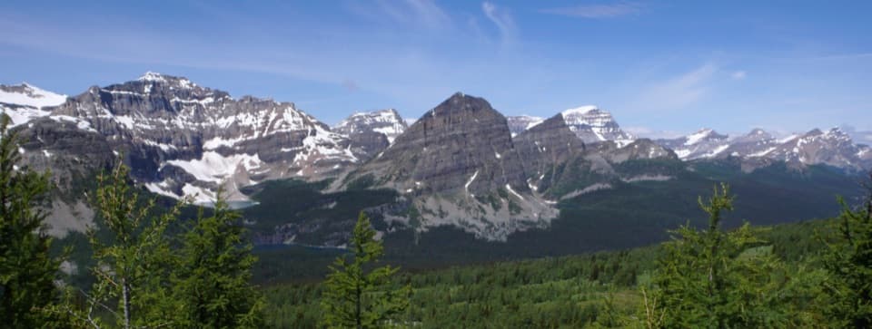
The route heads through the Simpson Pass area before climbing to Healy Pass. The approach moves from forest into open alpine meadows, where Monarch Ramparts come into view; midsummer can bring a strong wildflower display, though the timing shifts by year. From Healy Pass, the trail drops through forest toward Egypt Lake. The campground sits on a bench above the lake, with Pharaoh Creek nearby. Walk down to the boulder-lined shore for the lake and the Sphinx rising behind it.

Egypt Lake to Ball Pass JunctionLeaving camp, the trail climbs around Pharaoh Peak through shady forest and boulders, then…

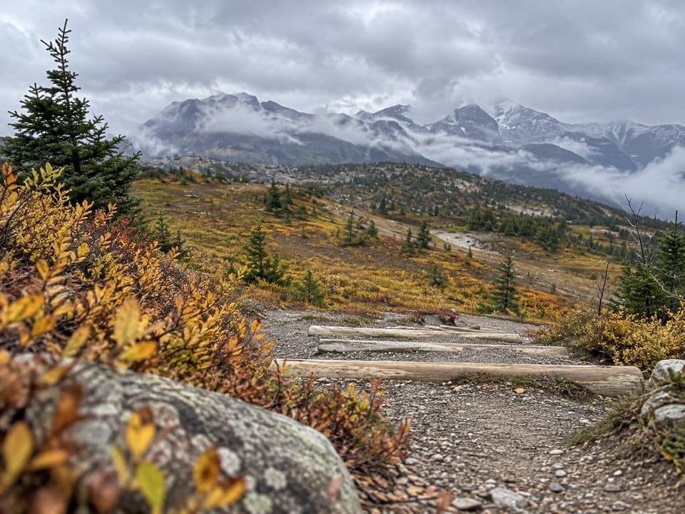
Leaving camp, the trail climbs around Pharaoh Peak through shady forest and boulders, then opens into meadow near Scarab and Haiduk lakes. A side path reaches Scarab Lake; the traverse continues across the meadow and up to Whistling Pass. Take a breather here: Parks Canada calls out the Ball Range views and the whistle of hoary marmots in this area. The route then follows a long high-country section to Ball Pass Junction, the second night’s camp.

Over Gibbon Pass to Twin LakesThe next long stage works through the Shadow Lake area and climbs Gibbon Pass.

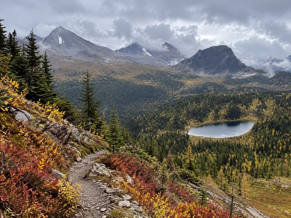
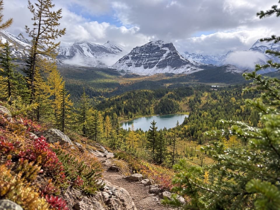
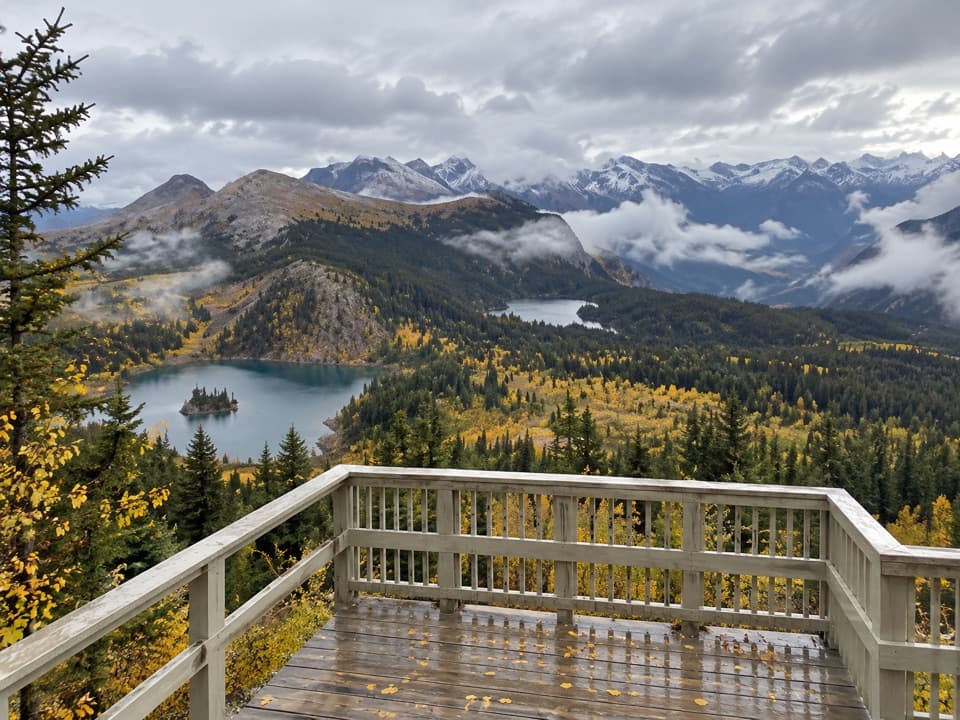
The next long stage works through the Shadow Lake area and climbs Gibbon Pass. Larches, meadow flowers and wide views across the Ball Range make this one of the best stretches to slow down for. From the pass, descend through larch forest to Twin Lakes. A reported route-finding trap near Lower Twin Lakes is the apparent shoreline track, which can peter out at steep scree; look for the main trail climbing onto the ridge instead.

The finish at Vista LakeFrom Twin Lakes, the route climbs toward Arnica Lake, then drops on long switchbacks through…

From Twin Lakes, the route climbs toward Arnica Lake, then drops on long switchbacks through forest to Vista Lake and the highway. The final descent is a fitting end to a route that keeps changing character, but it’s still a full backcountry day: give the last stage time and don’t count on a ride appearing at the road. High passes can hold snow into late June, and snow can fall in summer; June and July stream levels run high. Check Parks Canada’s current trail conditions before setting out.

Wildlife

Wildlife in Banff

All Banff wildlife maps

Sighting maps show where each species has been reported across Banff. Wildlife moves, so no sighting is guaranteed.

Keep exploring

Near Sunshine–Egypt Lake–Vista Lake Traverse

See it all on the map

Trails that start nearby

Places near the trailhead

Parkwolf’s Banff ranking

Top-rated trails in Banff

All 162 trails
  1. 1Sentinel Pass via Larch Valley TrailChallenging · 11.2 km
  2. 2Plain of Six Glaciers TrailModerate · 11.6 km
  3. 3Lake Agnes TrailModerate · 7.8 km
  4. 4Johnston Canyon Trail to Upper FallsEasy · 4.8 km
  5. 5Larch Valley / Minnestimma Lakes TrailModerate · 9 km
  6. 6Parker Ridge TrailModerate · 5.6 km

Take Parkwolf to Banff.

The audio tour guide for the drive, plus offline maps, trails, and wildlife heatmaps for when the signal drops.

4.7 from 8,600+ ratings

Download Parkwolf on the App StoreGet Parkwolf on Google Play