Parking
Park in the Sunshine Village base area and take the seasonal gondola to the upper village. The trail begins by the main gondola building; the ride takes about 25 minutes when operating.
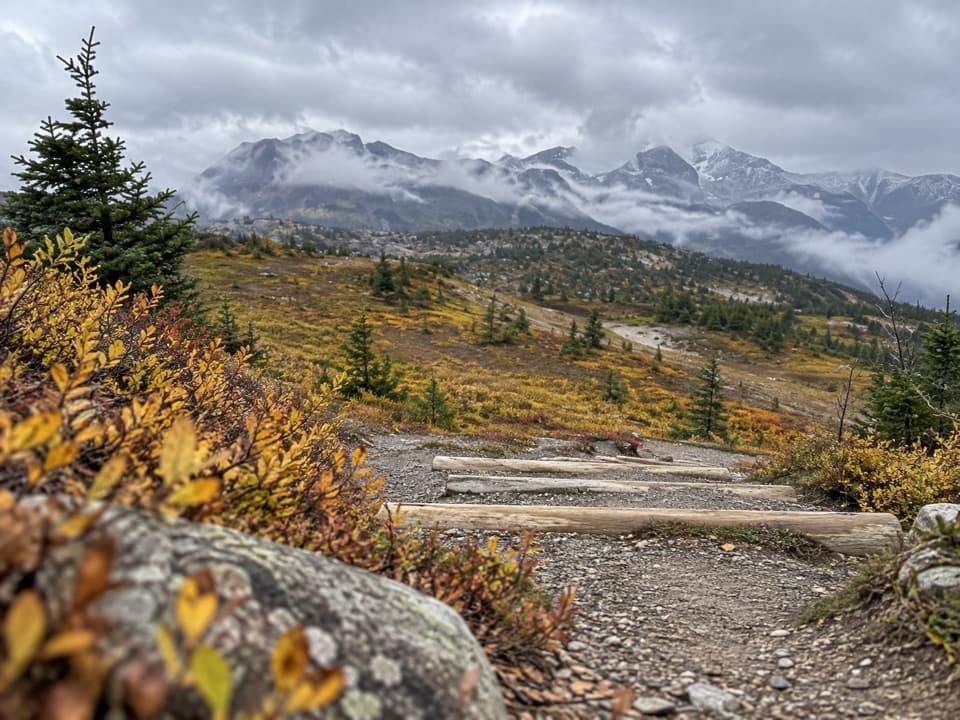
Banff National Park, AB
A long meadow walk to a quiet saddle on the Alberta–B.C. border.
Overview
Map & elevation
Plan your hike

The highest, rockiest slopes around here are a summer buffet for grizzly bears.
Banff Tour Guide
Parkwolf is a GPS audio tour guide for Banff National Park. As you drive, it chimes in with what’s ahead: hidden gems, upcoming stops, history, geology, and wildlife, right through your car’s speakers.
See the Banff audio tourMore stories near here in the app
“…Loved the commentary as you drove thru. I’m sure the app can do more than I know but the tips were very helpful. I’m gonna use it when we go to Banff next month.”


Trail guide
This is a 10.5 km (6.5 mi) out-and-back from the upper Sunshine Village through open meadows to a grassy saddle on the Alberta–British Columbia boundary. Allow about five hours. The trail climbs and drops along the way, reaching 2,348 m before descending toward the pass. I’d choose it for a quieter, longer day beyond the main meadow viewpoints; the saddle is a subtle finish, while Healy Pass is a separate, longer continuation.
Park at the Sunshine base area and take the seasonal gondola to the upper village; the ride takes about 25 minutes. The hike starts by the main gondola building, not in the base lot. Follow marked meadow paths to join the Simpson Pass trail, then return the same way from the saddle. Continuing toward Healy Pass or Egypt Lake is a different, longer trip. Check current operating dates and trail conditions before setting out.
Expect uneven, rocky and rooty footing, which can be wet or muddy after rain. Weather changes quickly above treeline, and the alpine ground is fragile, so stay on signed paths. Dogs are allowed on summer trails unless a local restriction is posted; keep them leashed and under control.
Wildlife
 123 sightingsGrizzly BearMost seen around 6 AMSighting map
 150 sightingsBrown BearMost seen around 6 PMSighting map
 44 sightingsGray WolfMost seen around 6 AMSighting map
 12 sightingsRiver OtterMost seen around 8 PMSighting map
 69 sightingsMooseMost seen around 8 PMSighting map
 466 sightingsBlack BearMost seen around 9 PMSighting map
Sighting maps show where each species has been reported across Banff. Wildlife moves, so no sighting is guaranteed.
Keep exploring
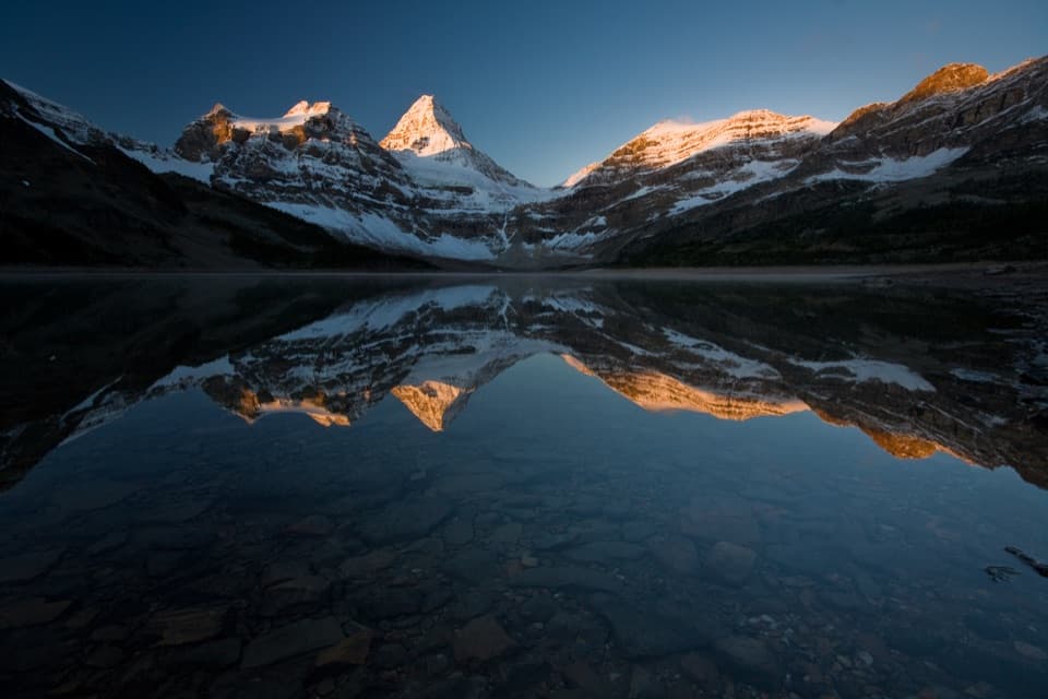 ChallengingSunshine–Assiniboine–Bryant Creek Traverse55.5 km · 23 hr · 0.2 km awayTwo passes, Lake Magog, and a long exit through Bryant Creek.
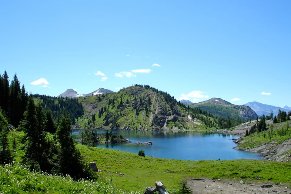 ModerateRock Isle Lake Trail4 km · 2 hr · 0.2 km awayCross the Divide for a close view of the lake’s wooded island.
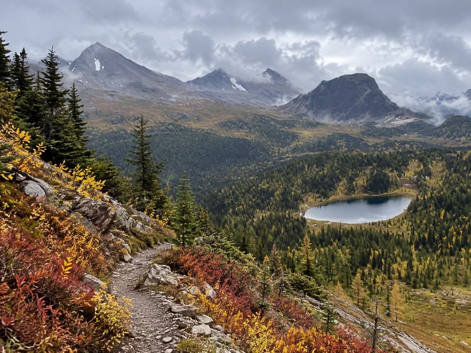 ChallengingCitadel Pass Trail18.2 km · 6.5 hr · 0.2 km awayQuartz Ridge's lake view is only the first act.
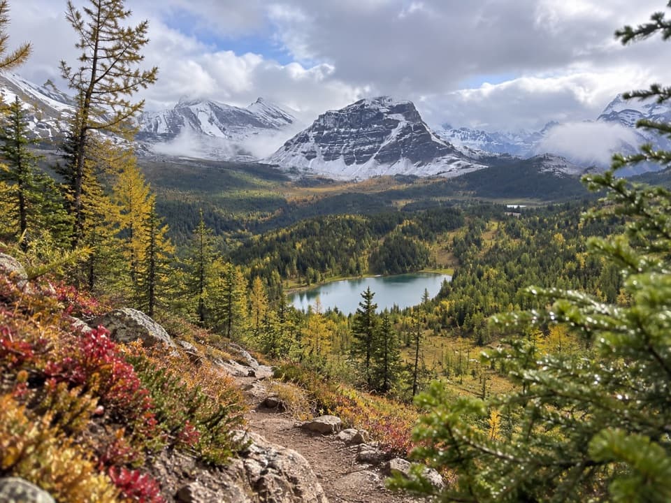 ModerateHoward Douglas Lake Trail11.4 km · 4.5 hr · 0.2 km awayA rugged alpine hike to a lake beneath Quartz Ridge.
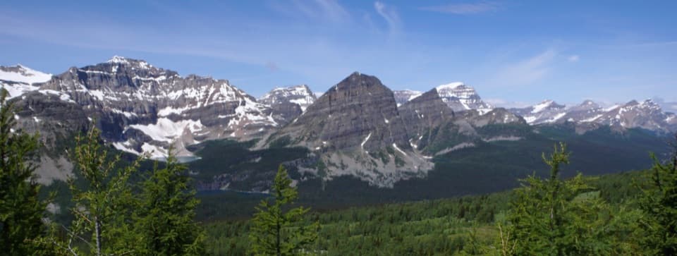 ChallengingSunshine–Egypt Lake–Vista Lake Traverse41.5 km · 20 hr · 0.4 km awayFour days from Sunshine Village to Vista Lake across high passes.
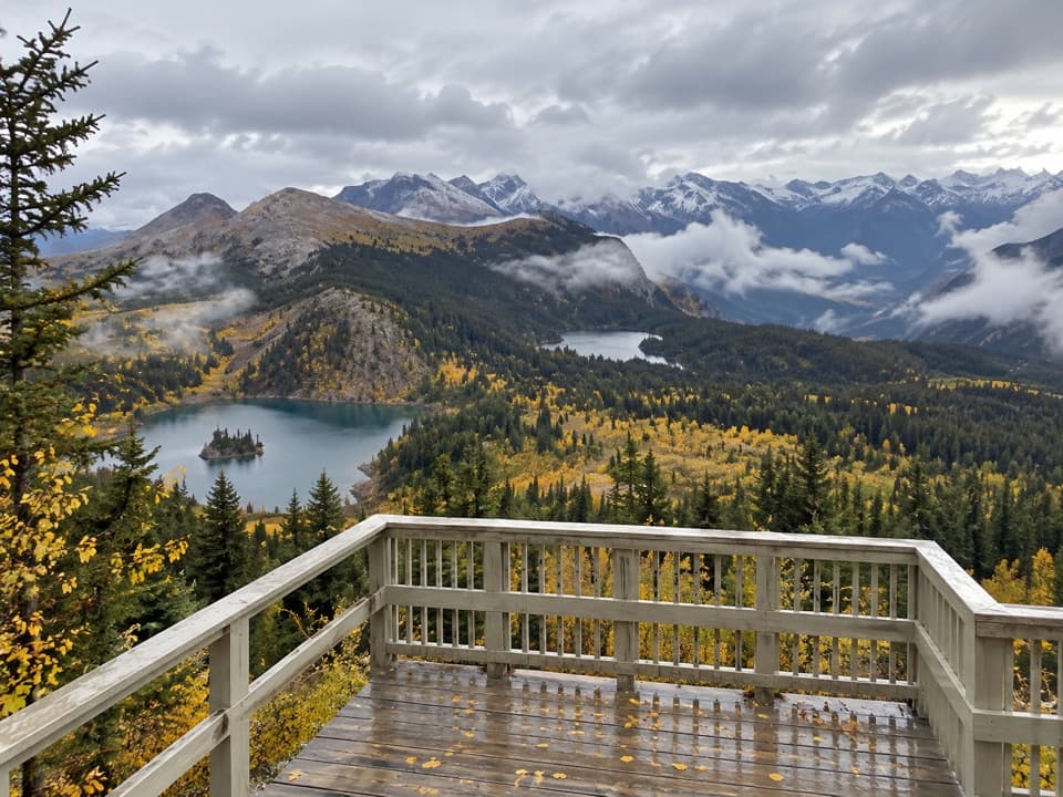 EasyStandish Viewpoint Loop0.6 km · 30 min · 1 km awayA short lift-access loop to three alpine lakes.
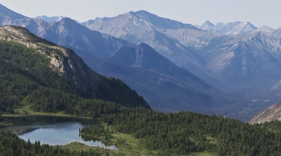 ModerateLarix Lake and Grizzly Lake Loop2.5 km · 2.5 hr · 2.2 km awayTwo alpine lakes, a narrow bridge, and Simpson Valley views.ChallengingHealy Pass Trail17.6 km · 6.5 hr · 4.1 km awayA long forest walk pays off in larch meadows and pass views.
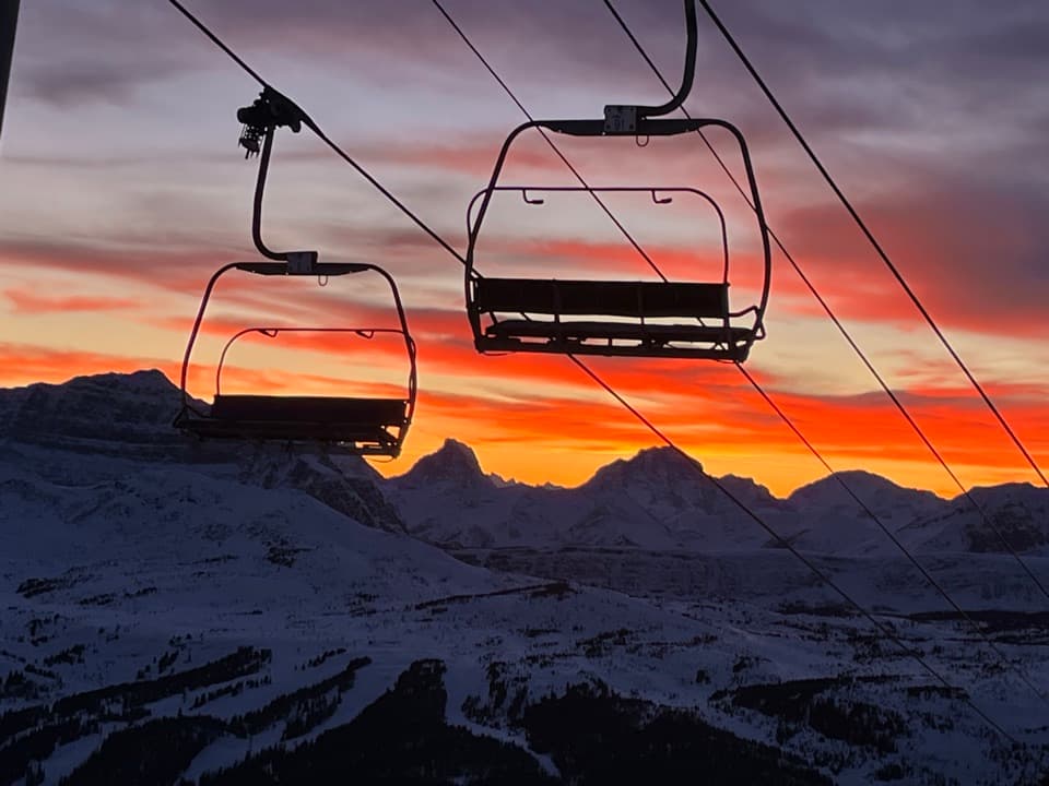 Sight · 0.4 km awayBanff Sunshine VillageTwo lifts carry you into high meadows and a sweeping mountain panorama.
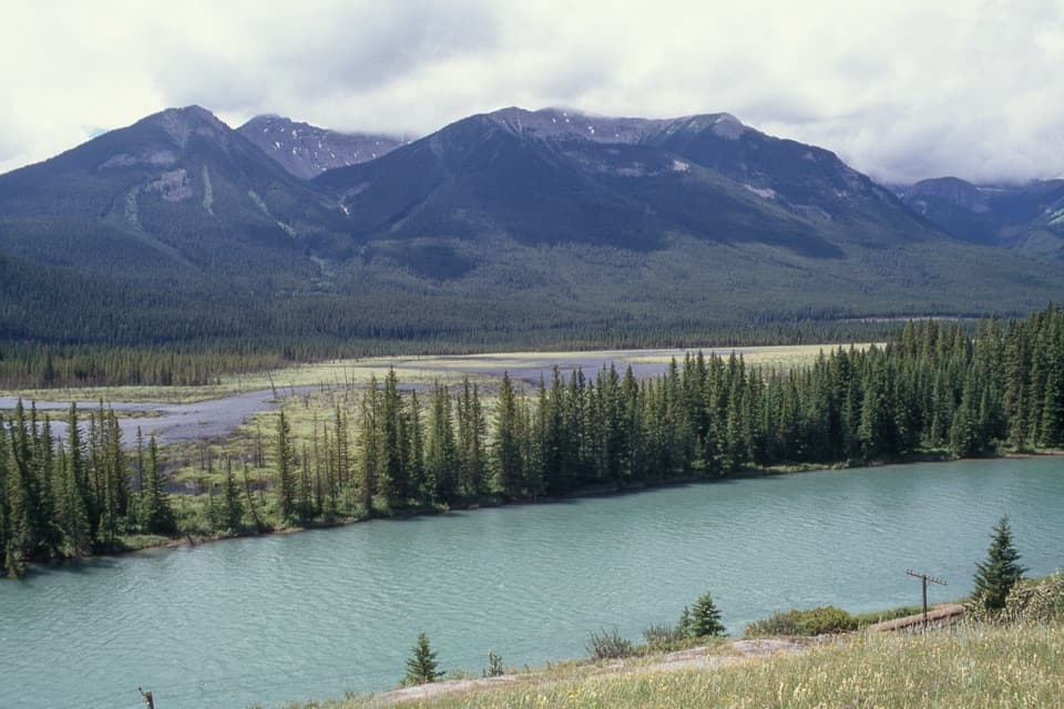 Scenic pullout · 11.6 km awayBackswamp ViewpointA quick Bow Valley stop with the river and Bourgeau in view.
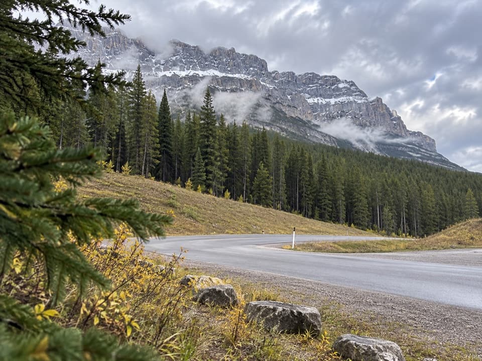 Picnic area · 11.9 km awayMuleshoe Picnic AreaPicnic tables, outhouses and a chance to watch for birds.
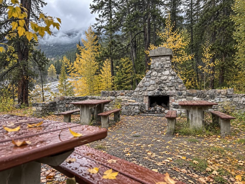 Picnic area · 13.8 km awayFireside Day-use AreaA quick picnic stop with trail access at the Parkway's eastern end.
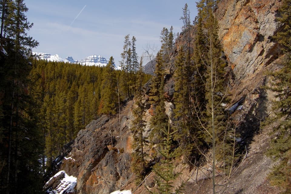 Sight · 14.3 km awaySundance CanyonA tight gorge and small waterfall reward the long approach.
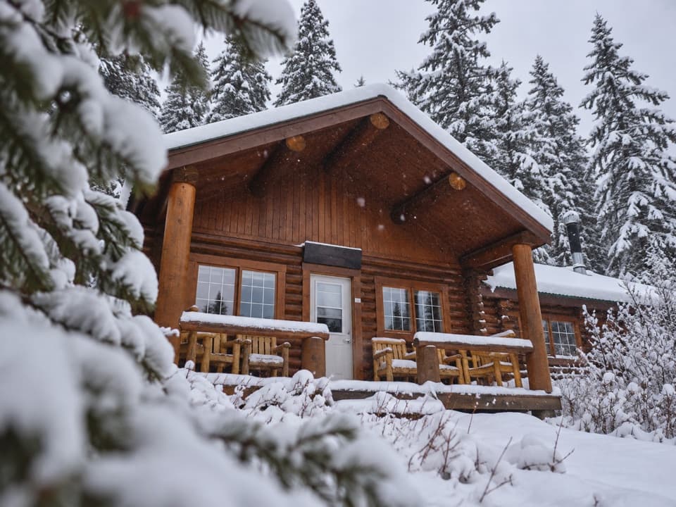 Lodging · 15.1 km awayShadow Lake LodgeA backcountry cabin stay with high peaks beyond the lodge door.
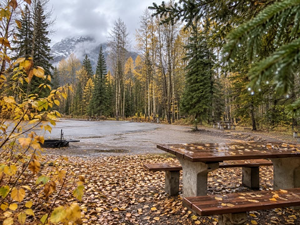 Picnic area · 15.3 km awaySawback Picnic AreaTables, outhouses and mountain views make a practical Parkway break.
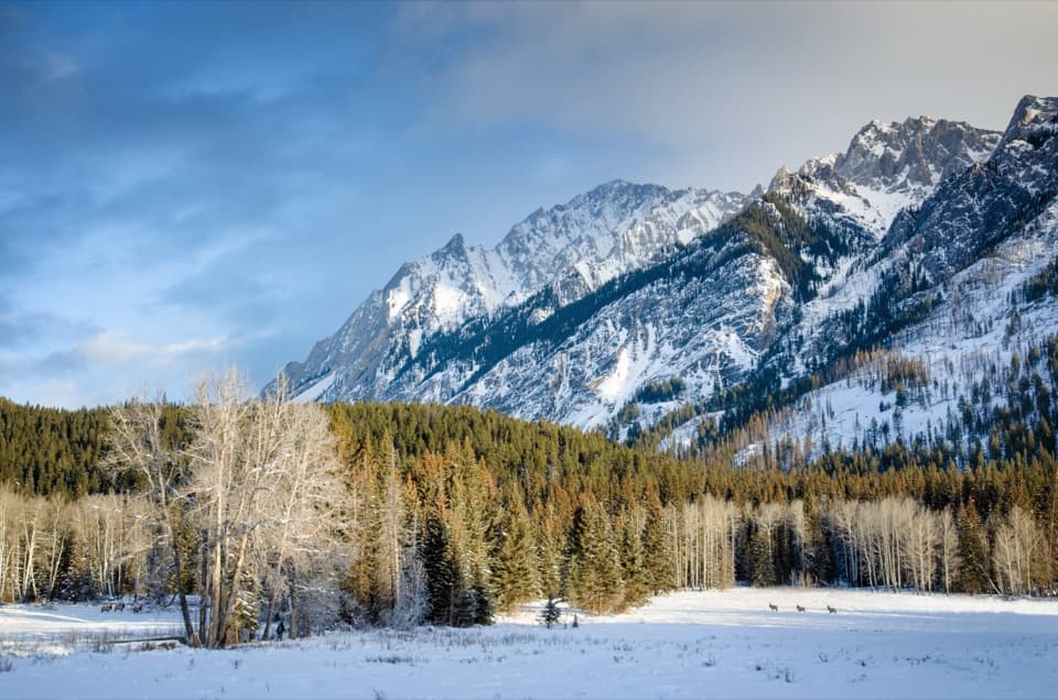 Scenic pullout · 15.9 km awayHillsdale MeadowA quick pullout for summer flowers and a Pilot Mountain view.
Parkwolf’s Banff ranking

The audio tour guide for the drive, plus offline maps, trails, and wildlife heatmaps for when the signal drops.





