Sunshine–Assiniboine–Bryant Creek Traverse in Banff National Park

Banff National Park, AB

Sunshine–Assiniboine–Bryant Creek Traverse

Two passes, Lake Magog, and a long exit through Bryant Creek.

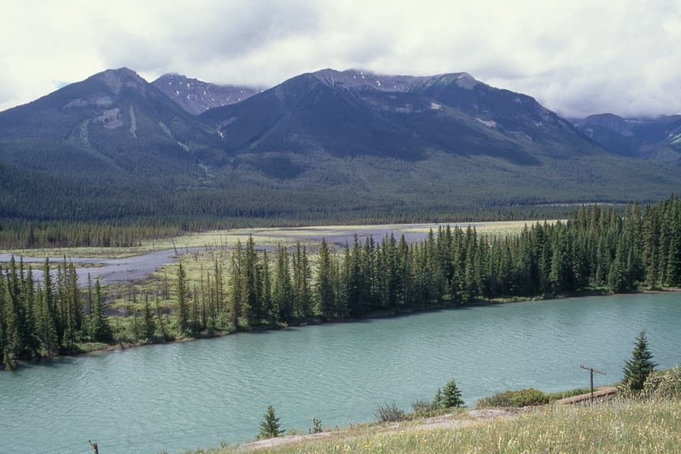
Photo: Wikimedia Commons
Length
55.5km
Time
23hr
Elev. change
625m
Difficulty
Challenging
  • Dogs allowed
  • High point 2,359 m
  • #39 of 162 in Banff
Parkwolf audio tour185 stories across Banff’s roads

Overview

About Sunshine–Assiniboine–Bryant Creek Traverse

Why go

  • Citadel Pass, the Valley of the Rocks, and the Assiniboine basin on one crossing.
  • The Lake Magog shore and Wonder Pass make memorable high-country stops.

Heads up

  • A remote, one-way route needs multi-park camping plans and a vehicle shuttle.
  • Six dry kilometres and steep pass descents make water and pack weight matter.

Map & elevation

The route

Loading the Banff map
Full map
Elevation1,734–2,359 m
TrailheadSunshine Village upper village51.07810, -115.78407
Keep this map with you offline in the Parkwolf app

Plan your hike

Before you go

Parking

Start at Sunshine Village’s upper village; park at the Sunshine Access Road base and use the gondola when operating. Walking the access road to the village adds about 6.5 km and 525 m of climbing. The route ends at Mount Shark Trailhead; arrange a shuttle or second vehicle. A Kananaskis Conservation Pass is required for a vehicle left there.

Safety

This is a remote multi-day route with steep descents off Citadel Pass and switchbacks across avalanche slopes below Wonder Pass. The Valley of the Rocks has about 6 km without water; top up before that stretch and treat natural water. Overnight permits and campsite arrangements apply in both jurisdictions. Seasonal bear restrictions can close nearby trails or limit dog access, so check current notices. Dogs must be leashed and are not allowed inside backcountry shelters.

8 active Banff alerts

  • ClosureJohnston Canyon Trail and Day Use Area closedJohnston Canyon Trail and Day Use Area are closed to all traffic and travel through December 11, 2026, because construction work requires protecting public and workers’ safety.Official details
  • ClosureBaker Lake and Hidden Lake campgrounds closed to campingCamping is prohibited at Baker Lake and Hidden Lake campgrounds through December 1, 2026, because a grizzly bear entered campsites and investigated tents and gear; the closures reduce risk to…Official details
See all 8 alerts
A park ranger sits on a dash-mounted phone, talking, as Parkwolf’s Tour Guide plays “Army Cutworm Moths: A Grizzly Bear Buffet” on Grand Loop Road below Dunraven Pass in Yellowstone
Parkwolf Tour GuideThe highest, rockiest slopes around here are a summer buffet for grizzly bears.

Banff Tour Guide

Your drive to Sunshine–Assiniboine–Bryant Creek Traverse, narrated.

Parkwolf is a GPS audio tour guide for Banff National Park. As you drive, it chimes in with what’s ahead: hidden gems, upcoming stops, history, geology, and wildlife, right through your car’s speakers.

See the Banff audio tour

More stories near here in the app

  • Sunshine Village: Lifts to the Meadows
  • The Grouse That Grows a Bigger Gut
  • Two Ways to Ice a Branch
  • The Rectangular Holes in the Tree
  • 185 audio storiesacross Banff’s roads, triggered by GPS as you drive
  • Wildlife heatmapsfor Grizzly Bear, Brown Bear, Gray Wolf, and 13 more
  • Works offlinemaps, 162 trails, 90 places, and audio download before you lose signal
  • CarPlay readysimple controls built for the drive
★★★★★
“…Loved the commentary as you drove thru. I’m sure the app can do more than I know but the tips were very helpful. I’m gonna use it when we go to Banff next month.”
tesja22App Store review
Download Parkwolf on the App StoreGet Parkwolf on Google Play

4.7 from 8,600+ ratings

Trail guide

Hiking Sunshine–Assiniboine–Bryant Creek Traverse

The route and the commitmentThe Sunshine–Assiniboine–Bryant Creek Traverse is a 34.5-mile (55.

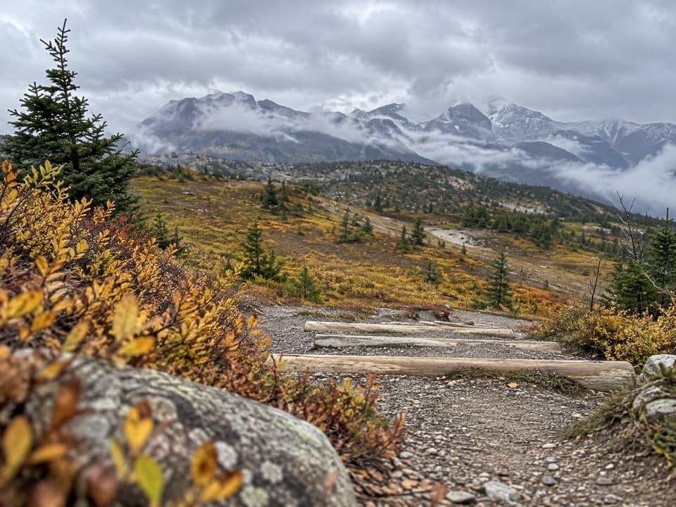
The Sunshine–Assiniboine–Bryant Creek Traverse is a 34.5-mile (55.6-km), one-way backpack from Sunshine Village’s upper village to Mount Shark. It climbs over Citadel Pass, crosses the open country into the Assiniboine basin, visits Lake Magog, then leaves by Wonder Pass and follows Bryant Creek to the exit. The mapped distance includes the roughly 2.2-mile out-and-back to Lake Magog’s shore. Plan three days if you want time in the basin; two days means very long days with a full pack. Published leg estimates add up to about 17 hours for experienced hikers with light daypacks, so loaded packs, camp stops and the lake spur add time.

This is remote wilderness travel, not a day hike. The start and finish are far apart, so sort out your shuttle or second car before you go. There’s no resupply along the route.

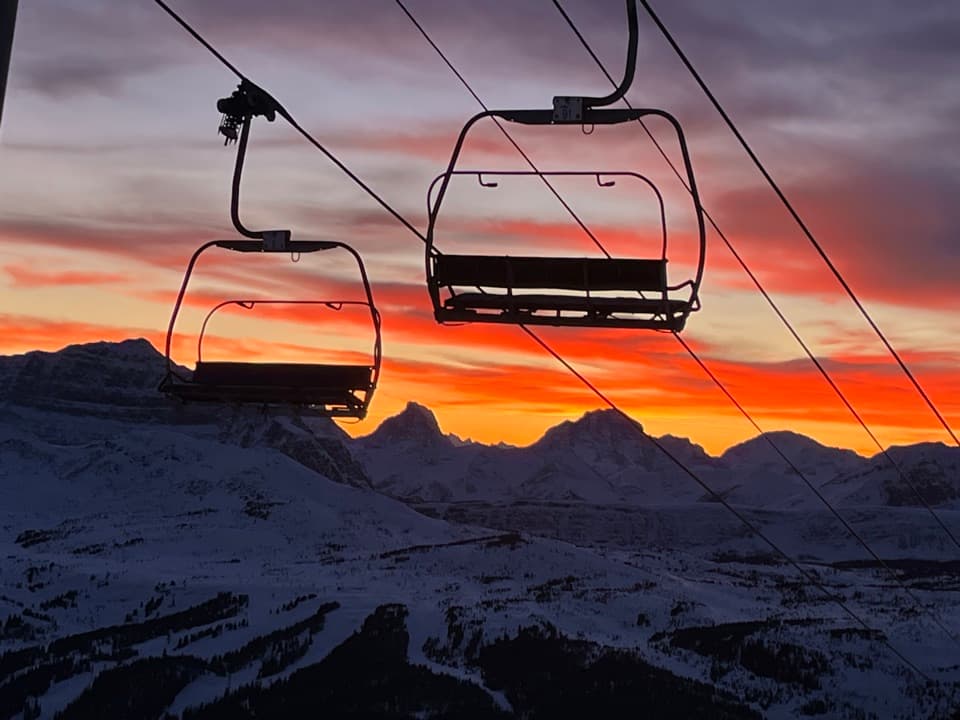
Sunshine to Citadel PassStart at the Sunshine Interpretive Center and climb into the alpine meadows of the Great Divide.

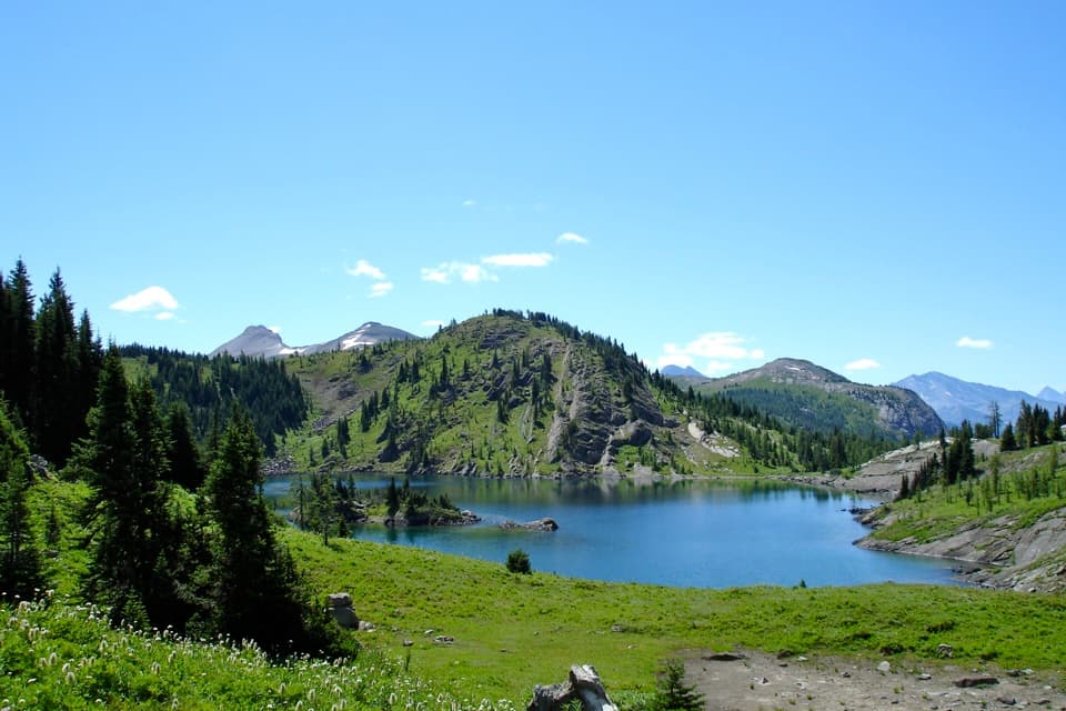
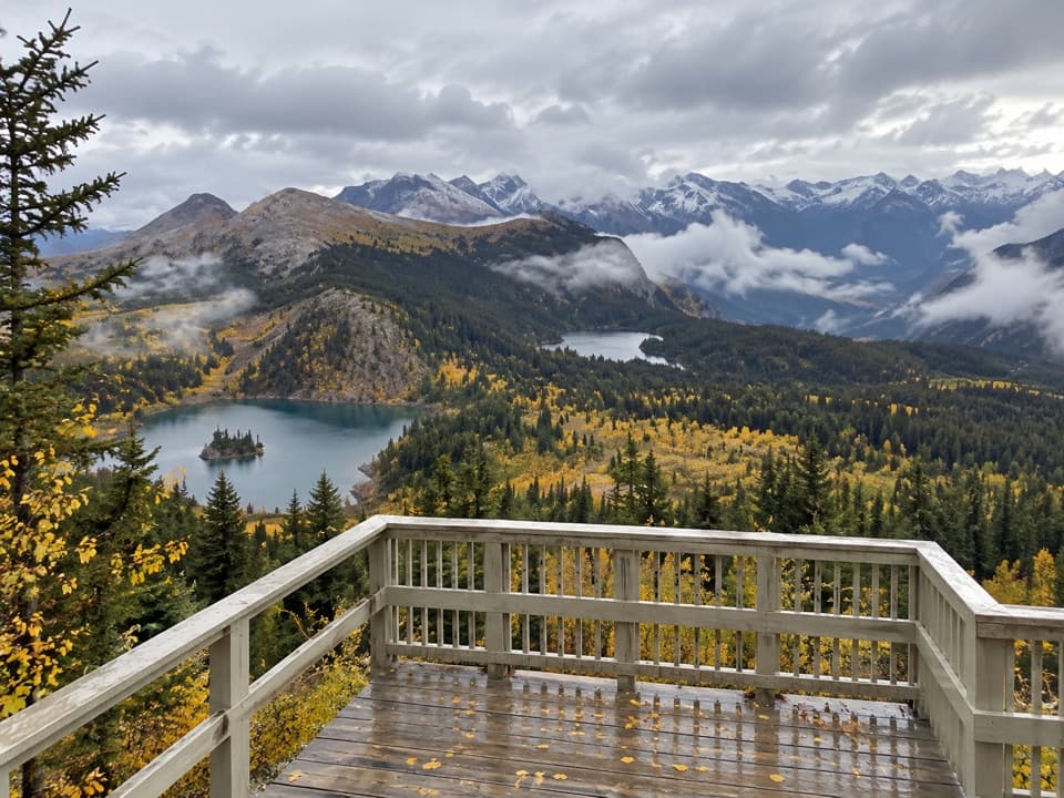
Start at the Sunshine Interpretive Center and climb into the alpine meadows of the Great Divide. At about 1.3 km, take the Citadel Pass turn at the Rock Isle Lake junction; the route crosses a ridge beneath Quartz Hill, then drops to Howard Douglas Lake. That lake is a useful place to top up before the long dry stretch toward Og Lake. Citadel Pass arrives around 9.3 km at 2,360 m. The descent is steep. If you’re walking through instead of camping at Porcupine, stay on the open traverse rather than dropping into Golden Valley and climbing out again.

The rock valley and Og LakePast Porcupine, the landscape opens into the Valley of the Rocks, a jumbled field of boulders…

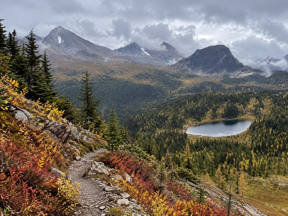
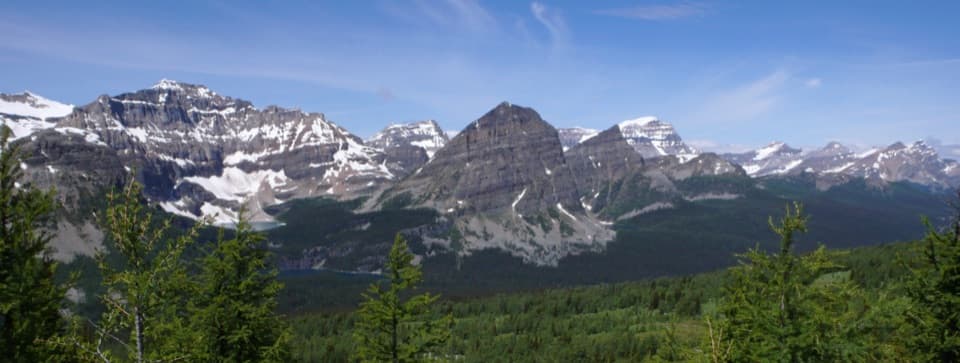
Past Porcupine, the landscape opens into the Valley of the Rocks, a jumbled field of boulders left by an ancient landslide. The section is about six kilometres without water, so don’t count on finding a stream when you need one. Og Lake campground, around 22 km from Sunshine, is the first big payoff after that rough crossing, with Mount Assiniboine rising behind the water. From Og Meadows, keep to the signed route through the pass junctions and gully toward the lodge and lake area.

Lake Magog and the Assiniboine basinThe branch to Lake Magog is worth the short extra walk: it brings you to the shore for the…

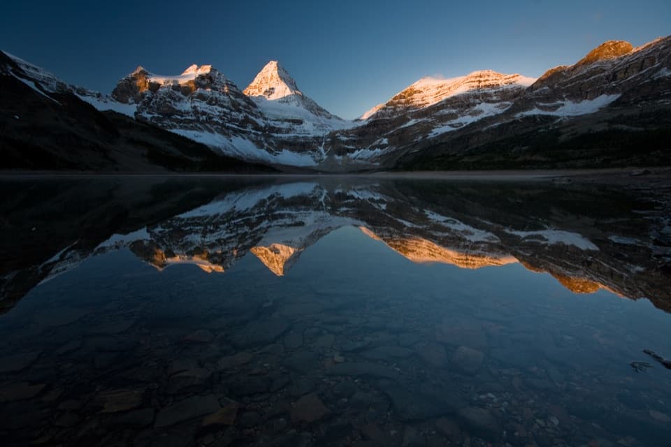
The branch to Lake Magog is worth the short extra walk: it brings you to the shore for the classic view of Mount Assiniboine above the lake. The saved route follows that path down and back before continuing toward the lodge and Wonder Pass, so you don’t need to add the detour again when using the 34.5-mile total. The mountain itself is 3,618 m and stands out as a clear landmark, but this is a through-hike, not a summit climb. Geologist G.M. Dawson named it in 1899 to honour the Assiniboine people. The passes in this region have also long connected people and trade across the Rockies.

Wonder Pass to Bryant CreekFrom the lodge area, the trail passes the Naiset Huts and Gog Creek, then climbs through larch…

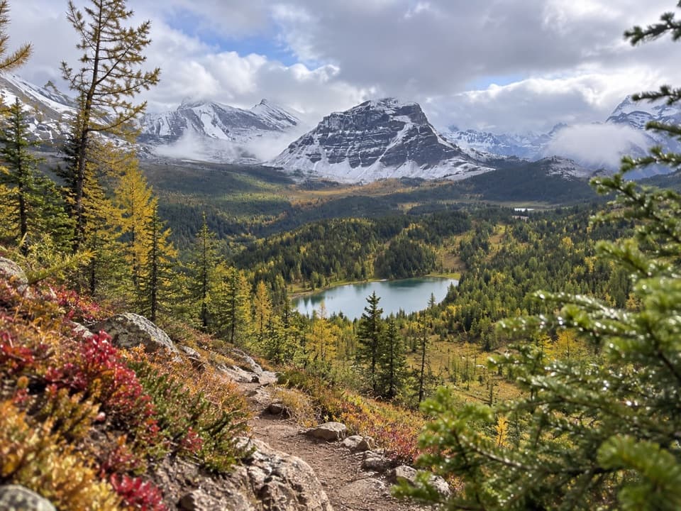
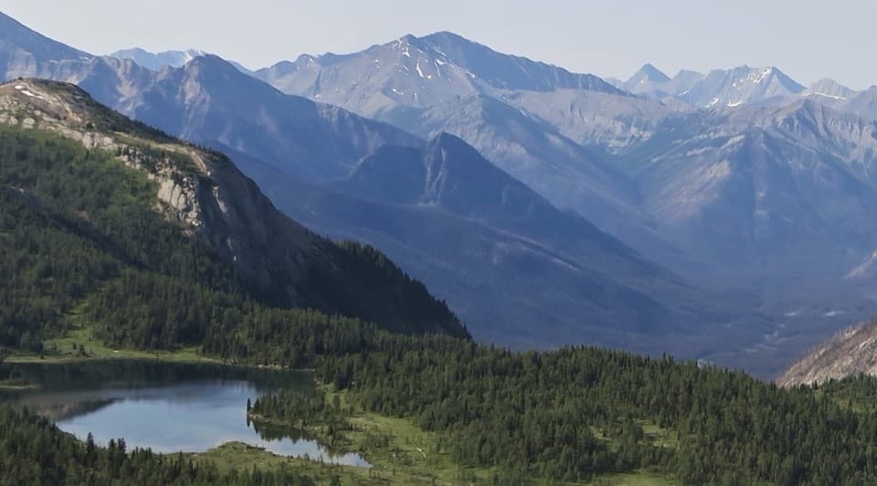
From the lodge area, the trail passes the Naiset Huts and Gog Creek, then climbs through larch forest and open flower meadows to Wonder Pass. On the Banff side, the first view of Marvel Lake is followed by a steady descent on switchbacks across avalanche slopes beneath Wonder Peak. Forest returns near the east end of the lake. From there, the route joins Bryant Creek and turns into a long valley walk past backcountry camp junctions and the warden cabin. It’s a quieter, more wooded exit after the high passes; the views open up around the cabin, then the trail works through the old ski-trail and logging-road network near Mount Shark.

Make the logistics workOvernight permits and campsite arrangements apply in both Banff and Mount Assiniboine…

Overnight permits and campsite arrangements apply in both Banff and Mount Assiniboine Provincial Park, with different systems and seasonal dates. Book each park section before setting out. The upper-village start is normally reached from the Sunshine parking area by gondola; hiking the access road instead adds about 6.5 km and 525 m of climbing. At the other end, Mount Shark parking requires a Kananaskis Conservation Pass, and you’ll need a ride back to Sunshine. Dogs must be leashed; they can’t go inside backcountry shelters, and seasonal bear restrictions can close nearby trails or limit dog access. Check current notices before choosing dates and campsites, and carry all food and water treatment you need.

Wildlife

Wildlife in Banff

All Banff wildlife maps

Sighting maps show where each species has been reported across Banff. Wildlife moves, so no sighting is guaranteed.

Keep exploring

Near Sunshine–Assiniboine–Bryant Creek Traverse

See it all on the map

Trails that start nearby

Places near the trailhead

Parkwolf’s Banff ranking

Top-rated trails in Banff

All 162 trails
  1. 1Sentinel Pass via Larch Valley TrailChallenging · 11.2 km
  2. 2Plain of Six Glaciers TrailModerate · 11.6 km
  3. 3Lake Agnes TrailModerate · 7.8 km
  4. 4Johnston Canyon Trail to Upper FallsEasy · 4.8 km
  5. 5Larch Valley / Minnestimma Lakes TrailModerate · 9 km
  6. 6Parker Ridge TrailModerate · 5.6 km

Take Parkwolf to Banff.

The audio tour guide for the drive, plus offline maps, trails, and wildlife heatmaps for when the signal drops.

4.7 from 8,600+ ratings

Download Parkwolf on the App StoreGet Parkwolf on Google Play