
Place
Challenging
Pipestone Pass is classic Canadian Rockies backcountry: broad alpine meadows, big mountain views, and real solitude once you’re beyond the Fish Lakes junction. It’s not a tidy, signed tourist trail—think rugged, occasionally faint singletrack with creek crossings, mud after storms, and the kind of quiet that makes you carry bear spray and know how to use a map.
Most hikers reach the pass from Fish Lakes, then climb to the “Pipestone Alpine (Highline) Trail” and traverse airy, rolling alplands to the pass. From Fish Lakes to Pipestone Pass is roughly 4.5–5 miles one way, with a noticeable climb out of Fish Lakes followed by very little elevation change along the highline. Strong backpackers often thread this into bigger itineraries connecting Fish Lakes and Devon Lakes, or continue across the divide toward the Siffleur side. If you’re coming in from Mosquito Creek via North Molar Pass to Fish Lakes, expect a long approach—about 20–22 miles one way to the pass.
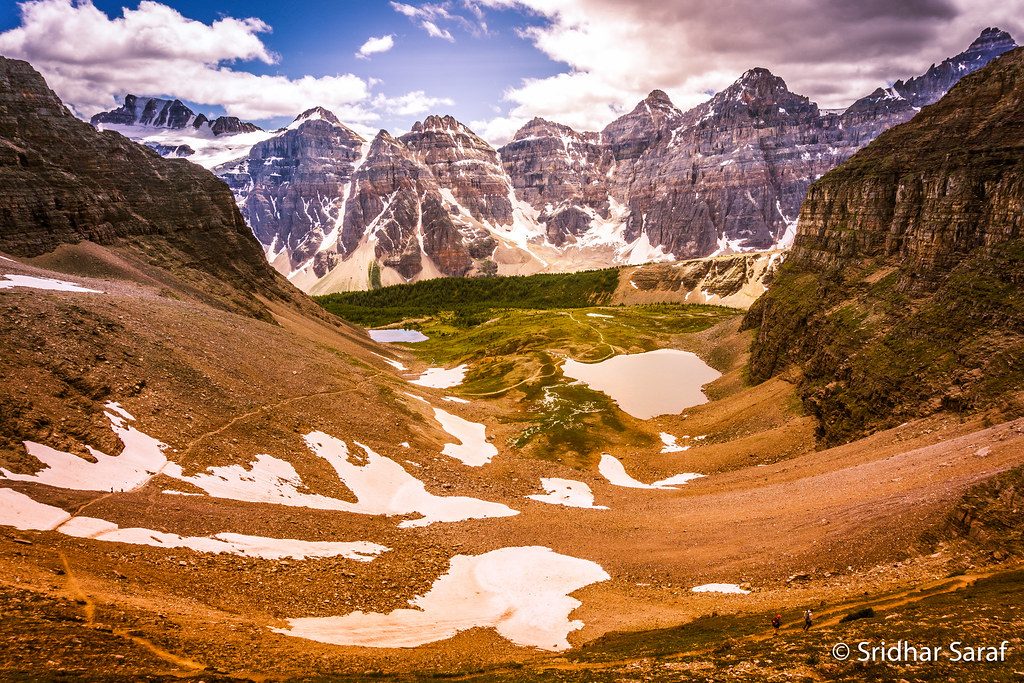
The draw is the scale: sweeping meadows above treeline, views toward rugged peaks like Pipestone Mountain and Devon Mountain, and a genuine sense of wild. The pass sits at the headwaters of major drainages—the Pipestone and Siffleur Rivers (with the Clearwater nearby)—and you’ll see the terrain literally tilt away into separate valleys. Keep an eye out for the colorful soft shales (the namesake “pipestone”) in the area.
This is prime habitat for bears, plus elk and marmots. Encounters with other hikers can be rare beyond Fish Lakes. Travel in a group if you can, make noise in brushy stretches, and keep your food tight.
Late July through early September is the sweet spot: the high country is mostly melted out, meadows are green, and wildflowers pop. Early or late season can bring lingering snow, high runoff, or sloppy mud. Weather flips fast at 8,000 feet—pack layers and be rain-and-snow ready even in mid-summer.
If you want a wild, high-country traverse with real commitment and few people, this is your spot. If you prefer well-marked, short day hikes with easy bailouts, skip it or aim for a shorter objective elsewhere in the park.
Most hikers stage from Fish Lakes, typically reached via North Molar Pass from the Mosquito Creek trailhead; park at that trailhead for this approach.
Remote, high-elevation terrain with fast-changing weather; creek crossings; sections of faint tread and possible flooding/mud (notably in the Siffleur valley). Carry bear spray and reliable navigation.
Place
Place
Place
Place
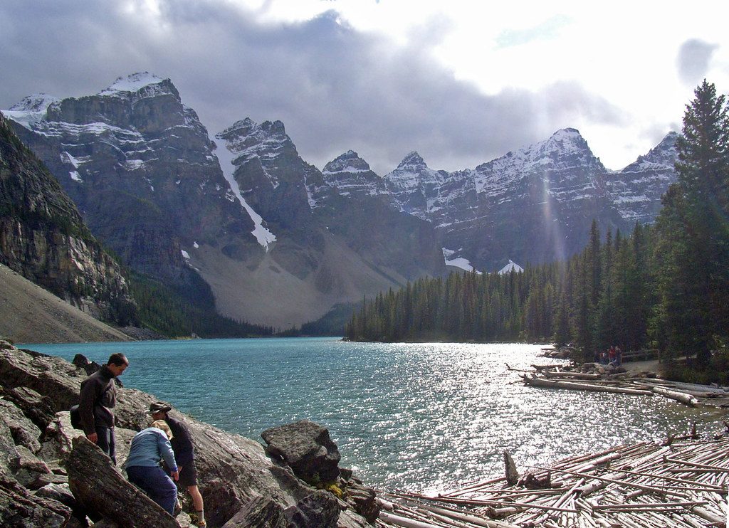
Easy
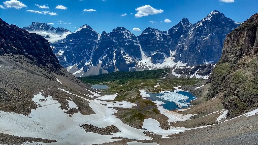
Challenging
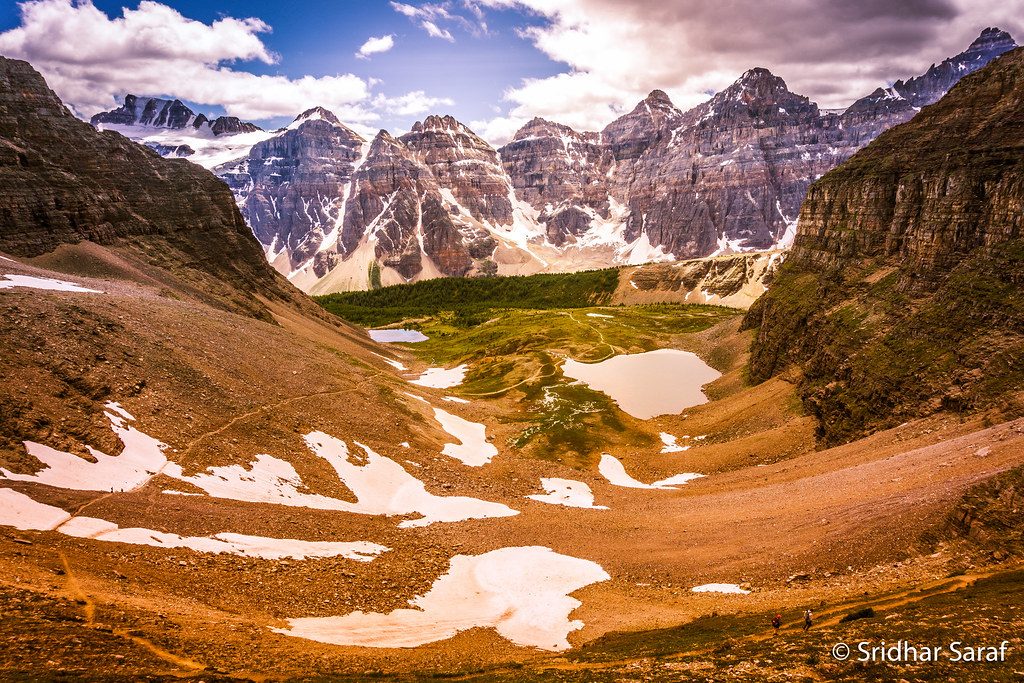
Challenging
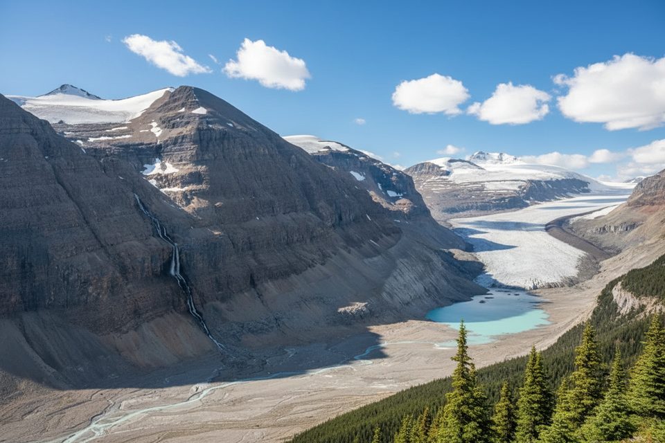
Moderate

Parkwolf Tour Guide
