Parking
Use the nearby Mosquito Creek Campground and HI hostel lot on the Icefields Parkway; the trailhead is across the highway, just north of Mosquito Creek Bridge.
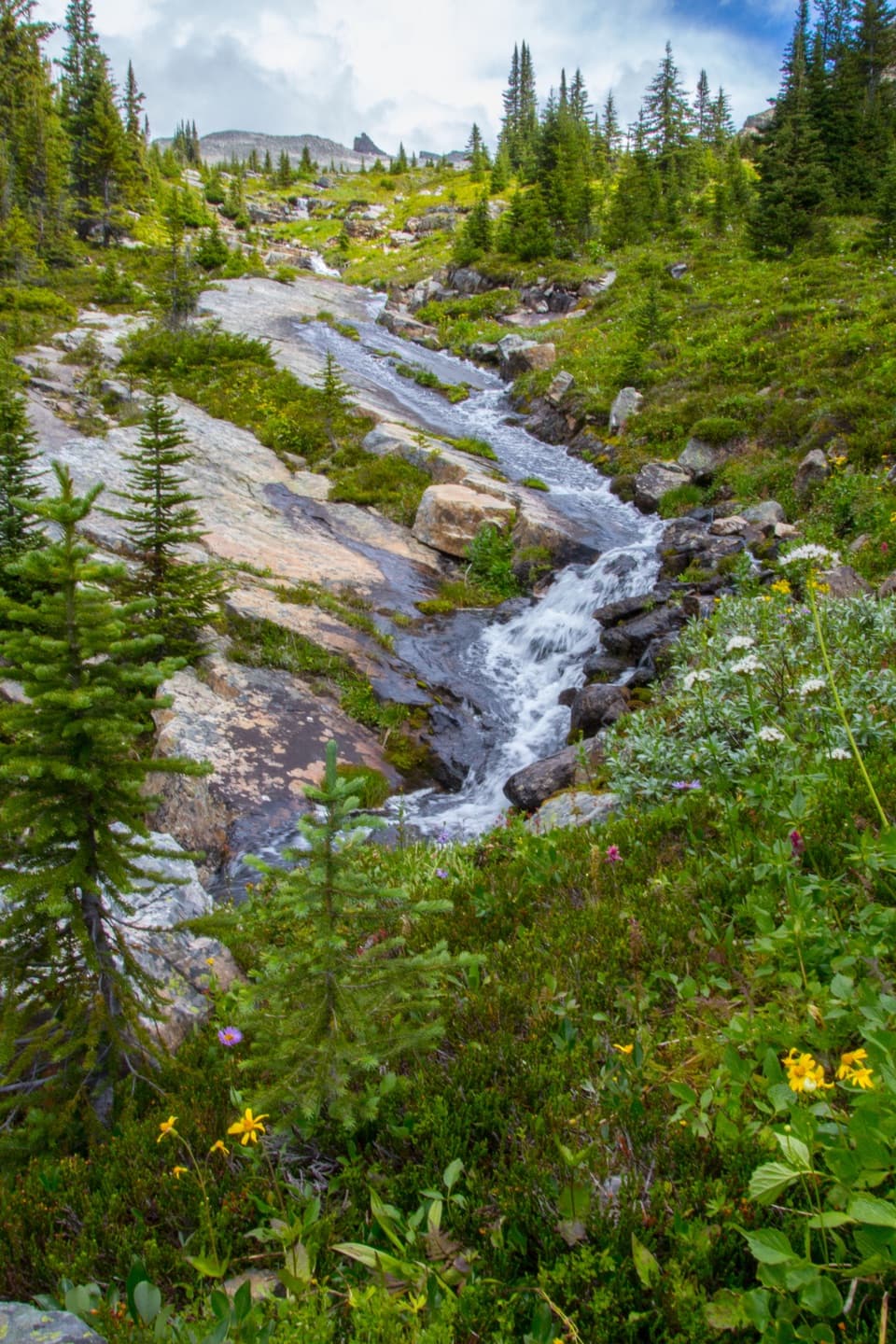
Banff National Park, AB
A long alpine out-and-back to Fish Lakes over North Molar Pass.
Overview
Map & elevation
Plan your hike

The highest, rockiest slopes around here are a summer buffet for grizzly bears.
Banff Tour Guide
Parkwolf is a GPS audio tour guide for Banff National Park. As you drive, it chimes in with what’s ahead: hidden gems, upcoming stops, history, geology, and wildlife, right through your car’s speakers.
See the Banff audio tourRecorded for this trailhead
Mosquito Creek: Camping and the Molar Pass Hike“Mosquito Creek is coming up, with a small seasonal campground and a separate wilderness hostel. Choose the campground for a simple wooded base on the Parkway, with some sites beside the creek and mountain views.”
Plays as you drive up to this trailhead in the Parkwolf Banff Tour Guide.
More stories near here in the app
“…Loved the commentary as you drove thru. I’m sure the app can do more than I know but the tips were very helpful. I’m gonna use it when we go to Banff next month.”


Trail guide
Fish Lakes Trail via North Molar Pass is a 29.6 km (18.4 mi) out-and-back from Mosquito Creek Trailhead to Fish Lakes backcountry campground and back. It climbs to North Molar Pass, then descends the far side to the lakes. The route gains about 1,128 m over the return trip. This is a strenuous wilderness outing, best planned as an overnight; very fit hikers may attempt it in one long day, but a night at Fish Lakes makes the commitment easier to manage. The mapped line shows the 14.7 km one-way corridor once, while the listed distance is the full return.
Overnight camping requires a Parks Canada backcountry permit and reservation. A shorter North Molar Pass hike turns around at the pass; this route continues about 3.3 km beyond it to Fish Lakes. The Molar Pass loop is a separate, more involved backcountry route and is not part of this out-and-back.
The access is just north of Mosquito Creek Bridge beside the Icefields Parkway. Parking is at the nearby Mosquito Creek Campground and HI hostel lot across the highway from the trailhead. The first roughly 5.5 km is a gradual forest walk to Mosquito Creek campground, gaining about 186 m. Narrow bridges cross fast streams along this approach. After the campground, follow the creek toward the signed junction about 1.8 km farther on; keep left for North Molar Pass. The right branch leads toward Molar Pass, a different route.
From the campground, the route climbs about 575 m over roughly 6 km. Forest gives way to subalpine meadows, then a steeper, rockier approach above Mosquito Lake. A stream crossing and rock-hopping come before the pass. The upper terrain is exposed to weather and can hold snow after the lower valley has cleared, so footing and pace may change quickly. This is the main sustained climb and the point where the scenery opens across alpine slopes and surrounding headwalls.
At North Molar Pass, continue down the far side for about 3.3 km to Fish Lakes campground. That descent is the defining extension beyond the pass-only hike. It begins steeply, then eases across open meadows. The route becomes braided and can be muddy; a stream crossing on a buckled log comes before camp. A first view of the lake appears roughly ten minutes before the campground. Stay on this route to the Fish Lakes destination; the cross-country traverse over Molar Pass belongs to a separate loop.
Upper and Lower Fish Lakes sit about 0.9 km apart. The lower lake is bordered by open, larch-dotted meadows; the upper lake lies below a large rock wall. The walk to camp links the pass, exposed high country and a quiet lake basin, so the effort is spread across several distinct landscapes rather than ending at the pass. Wildflowers add color to the meadow approach, while larches are a fall feature. The exact current campsite count and amenities were not independently confirmed, so check the reservation listing before relying on a particular facility.
Allow about 12 hours of hiking for the full return, with a two-day itinerary the more realistic choice for most visitors. Check Parks Canada’s current trail conditions before leaving: high elevation snow, wet ground and water crossings can make the upper route slower or unsafe. Dogs are permitted on trails unless a specific restriction applies, and Parks Canada requires them to remain leashed and under physical control. Carry the backcountry permit details for an overnight stay and confirm the campground’s current rules when booking.
Wildlife
 123 sightingsGrizzly BearMost seen around 6 AMSighting map
 150 sightingsBrown BearMost seen around 6 PMSighting map
 44 sightingsGray WolfMost seen around 6 AMSighting map
 12 sightingsRiver OtterMost seen around 8 PMSighting map
 69 sightingsMooseMost seen around 8 PMSighting map
 466 sightingsBlack BearMost seen around 9 PMSighting map
Sighting maps show where each species has been reported across Banff. Wildlife moves, so no sighting is guaranteed.
Keep exploring
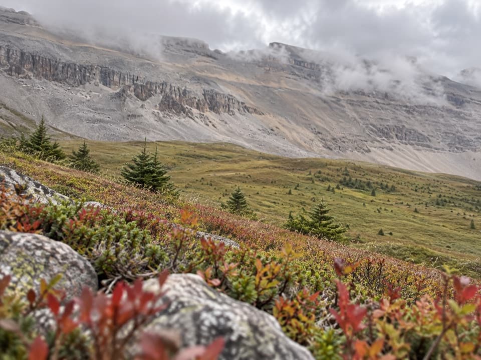 ChallengingNorth Molar Pass Trail23.2 km · 9 hr · At the trailheadA 14.4-mile out-and-back through meadows to North Molar Pass.
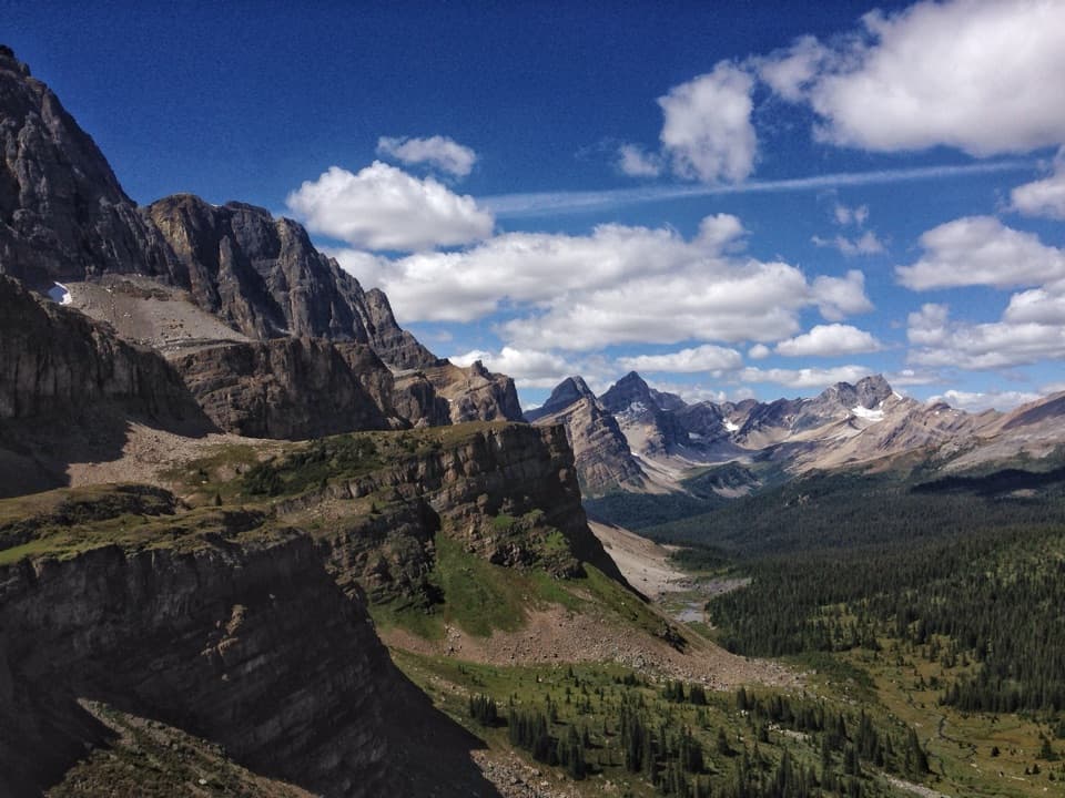 ChallengingMolar Pass Trail (South Molar Pass)19.6 km · 7.5 hr · At the trailheadCreekside forest gives way to wide meadows below a rocky pass.
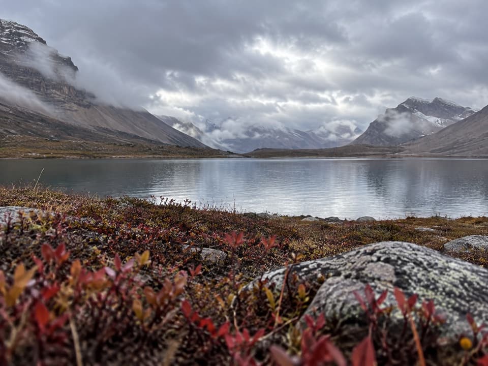 ChallengingDevon Lakes Trail61.6 km · 20.5 hr · 0.1 km awayThree high passes and two alpine lakes reward a four-day commitment.
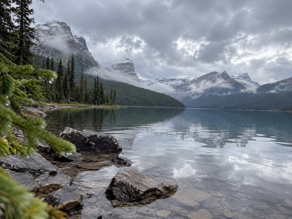 ModerateHector Lake Trail4.5 km · 1.8 hr · 6 km awayA short walk to a glacial lake with a demanding river ford.
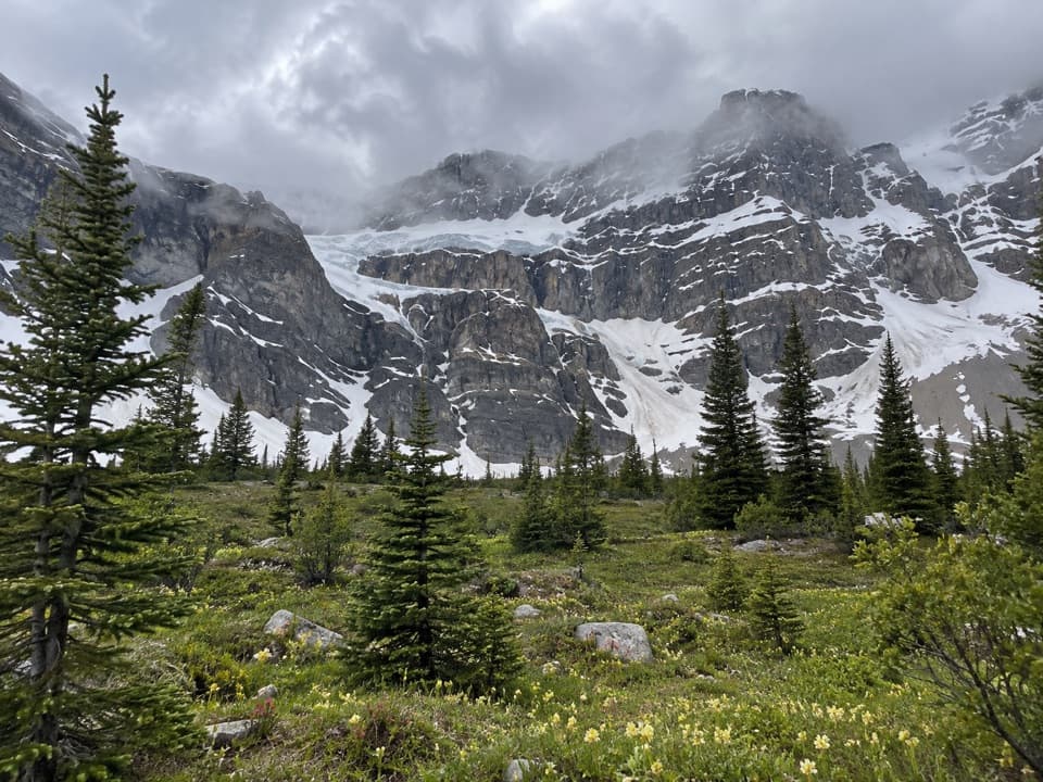 ChallengingCrowfoot Pass and Balfour Viewpoint Trail15.4 km · 6 hr · 7.4 km awayA cold ford, a broad pass, and a waterfall view.
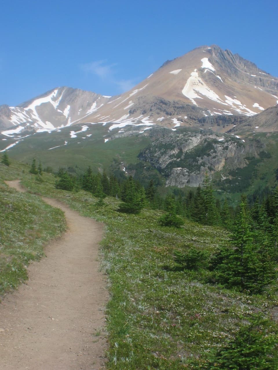 ModerateHelen Lake Trail11.7 km · 4.5 hr · 8.5 km awayA rooty climb earns glacier views before a modest alpine lake.
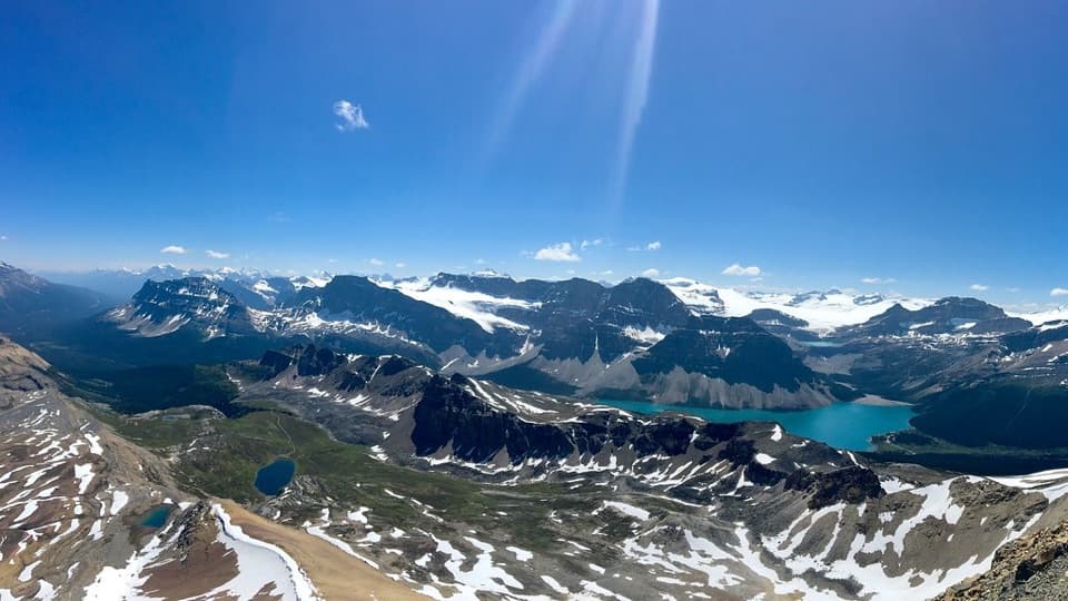 ChallengingCirque Peak Trail via Helen Lake16.3 km · 6.5 hr · 8.5 km awayA hands-on summit above Bow Lake and the Wapta Icefield.
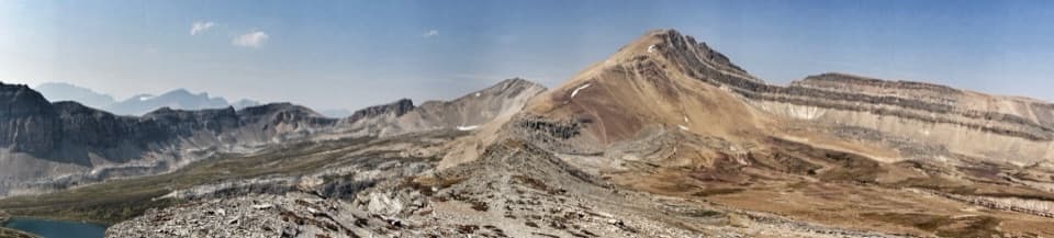 ChallengingDolomite Pass Trail17.8 km · 6.5 hr · 8.5 km awayBeyond Helen Lake, alpine meadows lead to an unmarked pass.
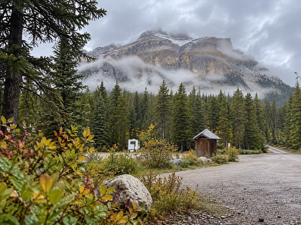 Campground · 0.1 km awayMosquito Creek CampgroundCreekside sites and mountain views at a basic Parkway campground.
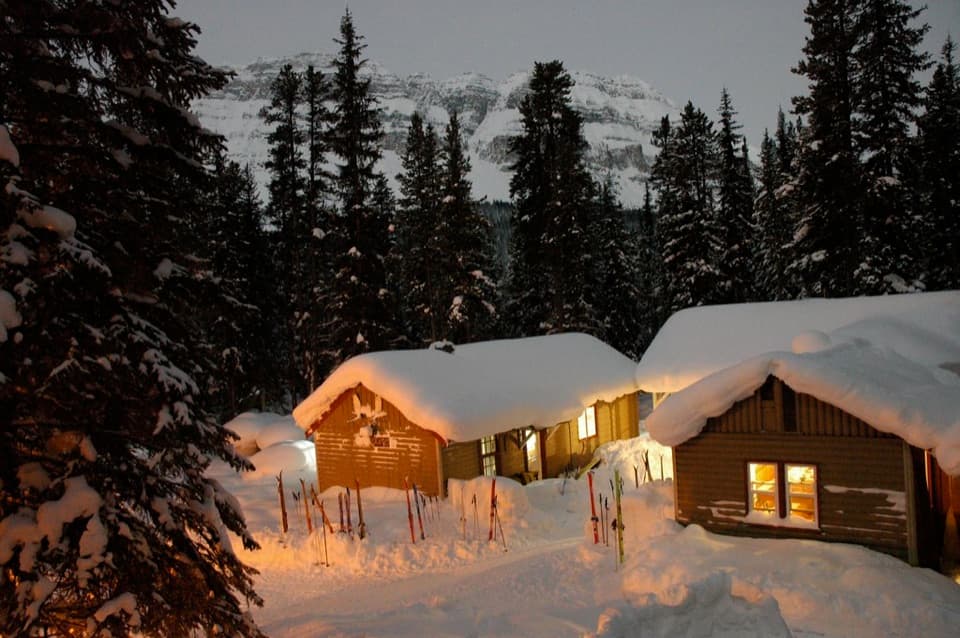 Lodging · 0.2 km awayHI Mosquito Creek Wilderness HostelA remote base with a sauna and trails just outside.
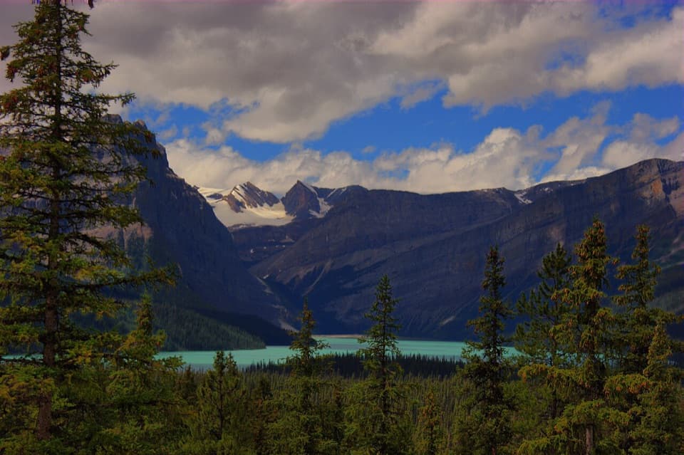 Scenic pullout · 4.9 km awayHector Lake ViewpointA quick Waputik backdrop, with only a partial glimpse of the lake.
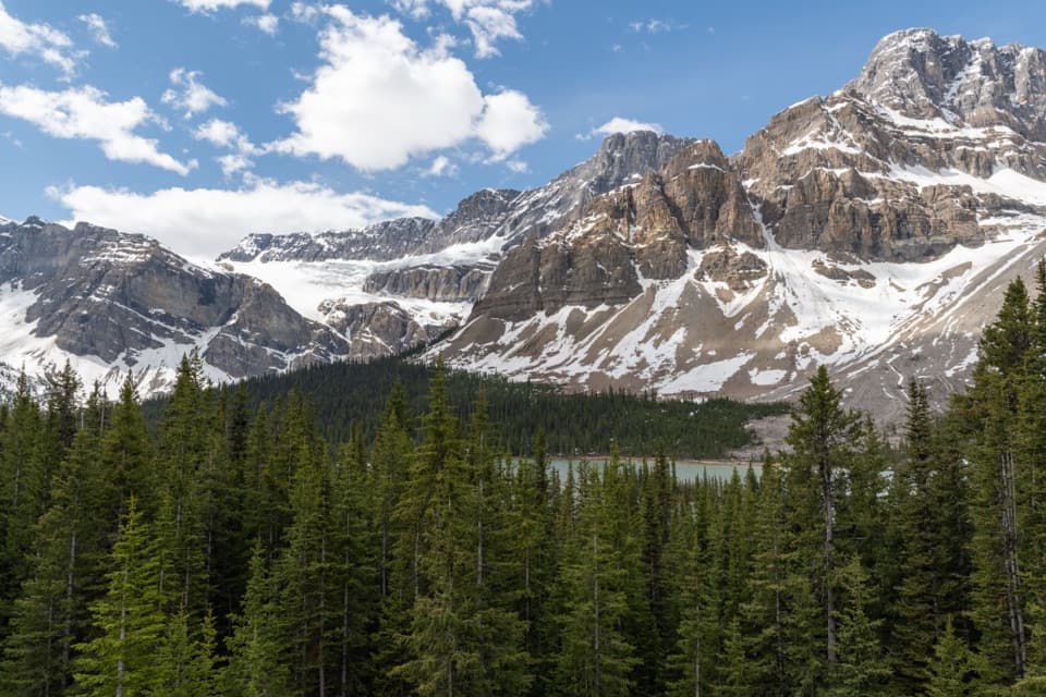 Sight · 8.4 km awayCrowfoot Glacier ViewpointA quick glacier stop with the story of its missing toe.
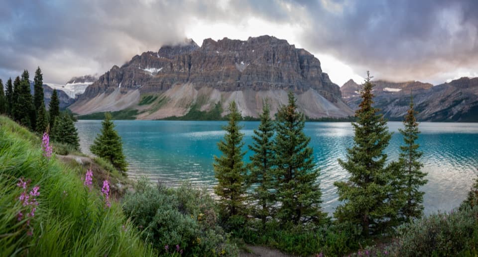 Picnic area · 9.6 km awayBow Lake Picnic SiteA quick pullout for clear lake water and high mountain views.
 Sight · 10.9 km awayBow LakeTurquoise water and glacier views, just off the Icefields Parkway.
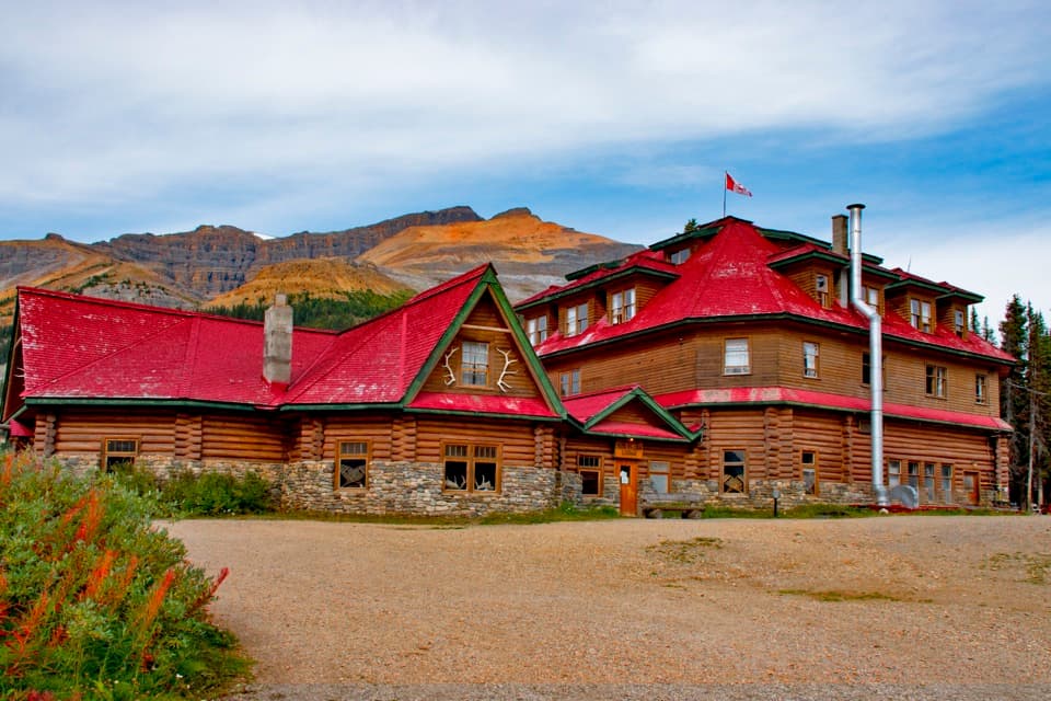 Lodging · 10.9 km awayThe Lodge at Bow LakeStay beside Bow Lake in a storied Icefields Parkway lodge.
 Sight · 12 km awayBow Glacier FallsA waterfall in the rocky basin where the Bow River begins.
Parkwolf’s Banff ranking

The audio tour guide for the drive, plus offline maps, trails, and wildlife heatmaps for when the signal drops.





