Parking
Use the Mosquito Creek Youth Hostel access-road lot below the Icefields Parkway. Do not block the hostel road. Cross the parkway and Mosquito Creek bridge carefully to reach the signed trailhead just north of the bridge.
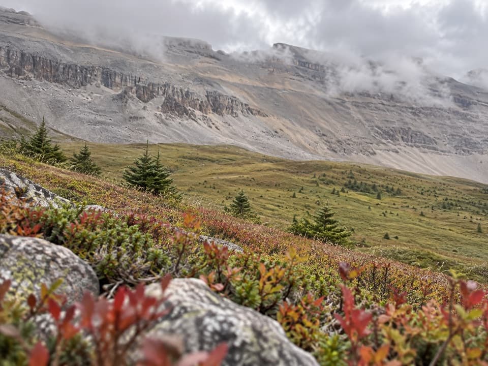
Banff National Park, AB
A 14.4-mile out-and-back through meadows to North Molar Pass.
Overview
Map & elevation
Plan your hike

The highest, rockiest slopes around here are a summer buffet for grizzly bears.
Banff Tour Guide
Parkwolf is a GPS audio tour guide for Banff National Park. As you drive, it chimes in with what’s ahead: hidden gems, upcoming stops, history, geology, and wildlife, right through your car’s speakers.
See the Banff audio tourRecorded for this trailhead
Mosquito Creek: Camping and the Molar Pass Hike“Mosquito Creek is coming up, with a small seasonal campground and a separate wilderness hostel. Choose the campground for a simple wooded base on the Parkway, with some sites beside the creek and mountain views.”
Plays as you drive up to this trailhead in the Parkwolf Banff Tour Guide.
More stories near here in the app
“…Loved the commentary as you drove thru. I’m sure the app can do more than I know but the tips were very helpful. I’m gonna use it when we go to Banff next month.”


Trail guide
North Molar Pass Trail is a 14.4-mile (23.2-km) out-and-back from Mosquito Creek to a high notch above the Fish Lakes valley. The pass is about 7.2 miles one way; day hikers turn around there and return on the same trail. Allow roughly 8 to 10 hours for the distance, climbing and rough footing. This is a committed alpine hike, not a quick creek walk.
I'd choose it when you want a full day above treeline and the pass itself is the goal. The Fish Lakes and Pipestone route continues beyond the pass as a separate backpacking trip. Don't add that extension to this day-hike distance.
The signed trail starts on the east side of the Icefields Parkway, just north of Mosquito Creek Bridge and across from Mosquito Creek Campground. From the Mosquito Creek Youth Hostel access-road lot below the highway, cross the parkway and bridge carefully, then follow the short path to the kiosk. Don't block the hostel road.
The trail climbs steeply at first, then settles into forest beside Mosquito Creek. Around 1.4 miles it drops toward the creek's west side. Views open toward the long ridge below Watermelon Peak. The route crosses an avalanche chute with a braided snowmelt stream, then crosses creek branches on logs before reaching Mosquito Creek Backcountry Campground at about 4 miles.
A signed junction comes shortly after the campground, around 4.4 miles from the start. The right branch is Molar Pass, also signed as South Molar Pass. Turn left for North Molar Pass, Fish Lakes and Pipestone River. This is the important turn; the two pass hikes are separate routes.
The trail climbs through open forest, then the trees give way to broad alpine meadows around mile 5. The wooded approach is rocky and braided, and the meadow tread can be boggy depending on the season. In summer, wildflowers fill the open slopes. Peaks ring the valley on all sides, with the jagged Dolomite and Watermelon ridges ahead.
At about 5.6 miles, the trail reaches Mosquito Lake and crosses its outlet. It continues above the lake's north shore, climbs a bench, then angles east through rocky meadows. The final climb begins around mile 6.6 on steep talus. Take your time here; it is rougher than the gentler meadow approach.
North Molar Pass sits at about 8,497 feet (2,590 m), a notch in the ridge rather than a broad summit. The Fish Lakes valley opens beyond it, with stream-threaded meadows below a high rock wall extending from Molar Mountain. From the pass, frame that valley below the wall to show the scale of the ridge. When you're ready, retrace the route to the trailhead.
Parks Canada rates the trail difficult; a detailed route account calls the hike strenuous. The 14.4 miles and roughly 2,472 feet of climbing add up to a hard day even though the gain is moderate for the distance. Expect repeated creek crossings, rocky tread, seasonally boggy meadow and loose talus near the pass. Snow can fall in the mountains any month, and conditions can change quickly at this elevation.
Dogs are allowed on Banff trails in summer unless a trail restriction is posted; keep them leashed and under control. A day hike to the pass is distinct from the overnight route beyond it. Backcountry camping requires a permit and advance reservations are recommended. Bring water or a filter because surface water may be unsafe to drink.
Wildlife
 123 sightingsGrizzly BearMost seen around 6 AMSighting map
 150 sightingsBrown BearMost seen around 6 PMSighting map
 44 sightingsGray WolfMost seen around 6 AMSighting map
 12 sightingsRiver OtterMost seen around 8 PMSighting map
 69 sightingsMooseMost seen around 8 PMSighting map
 466 sightingsBlack BearMost seen around 9 PMSighting map
Sighting maps show where each species has been reported across Banff. Wildlife moves, so no sighting is guaranteed.
Keep exploring
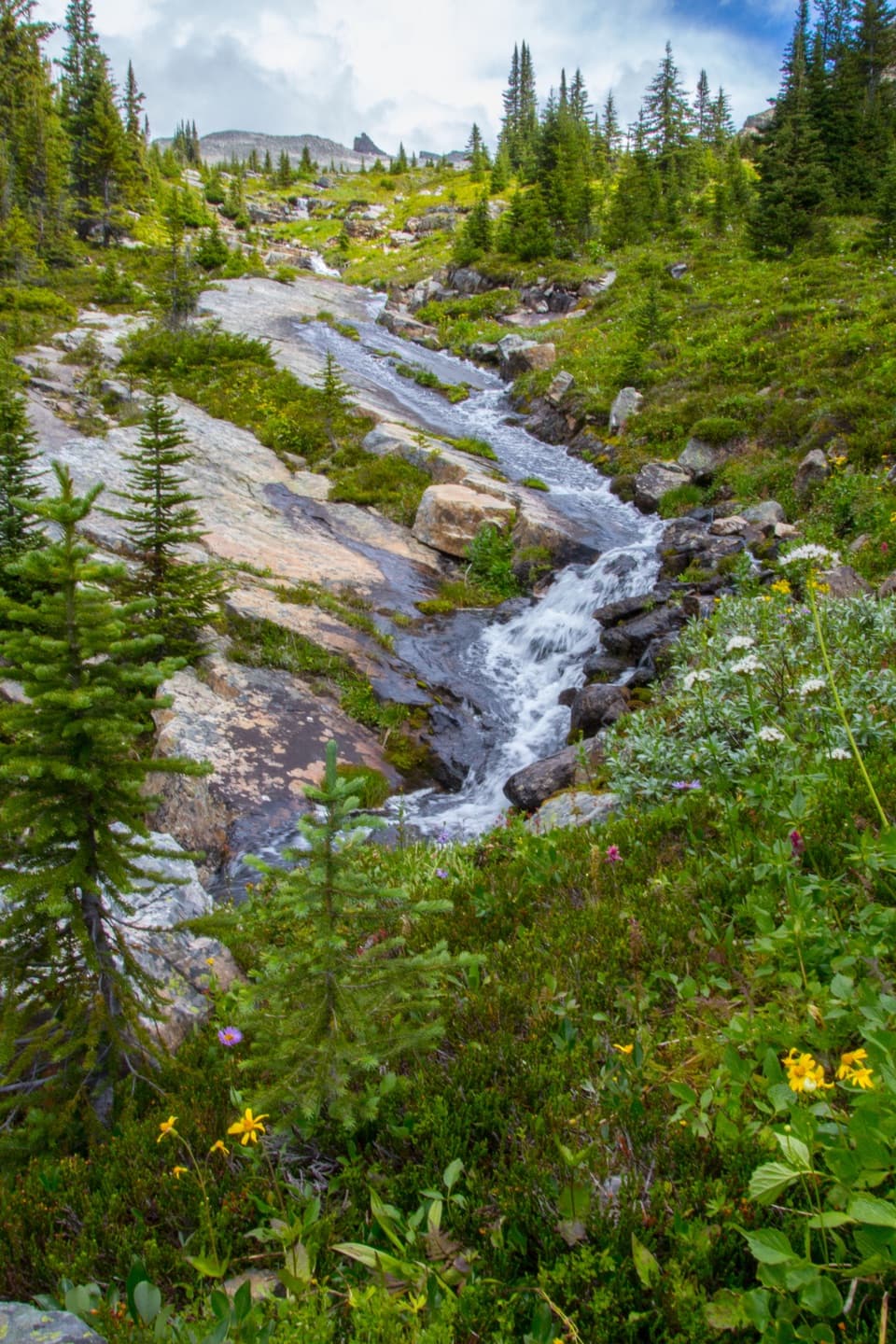 ChallengingFish Lakes Trail via North Molar Pass29.6 km · 12 hr · At the trailheadA long alpine out-and-back to Fish Lakes over North Molar Pass.
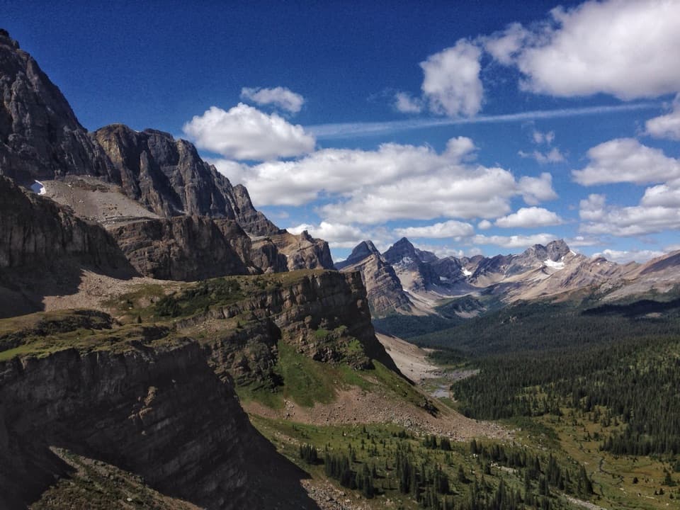 ChallengingMolar Pass Trail (South Molar Pass)19.6 km · 7.5 hr · At the trailheadCreekside forest gives way to wide meadows below a rocky pass.
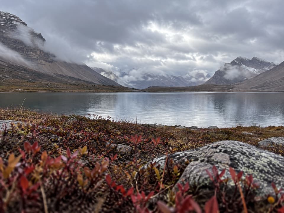 ChallengingDevon Lakes Trail61.6 km · 20.5 hr · 0.1 km awayThree high passes and two alpine lakes reward a four-day commitment.
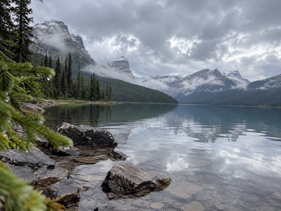 ModerateHector Lake Trail4.5 km · 1.8 hr · 6 km awayA short walk to a glacial lake with a demanding river ford.
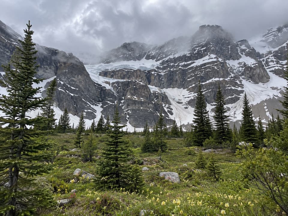 ChallengingCrowfoot Pass and Balfour Viewpoint Trail15.4 km · 6 hr · 7.4 km awayA cold ford, a broad pass, and a waterfall view.
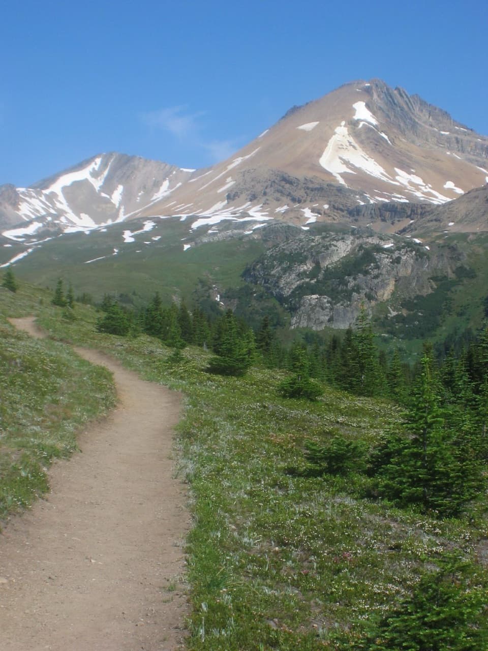 ModerateHelen Lake Trail11.7 km · 4.5 hr · 8.5 km awayA rooty climb earns glacier views before a modest alpine lake.
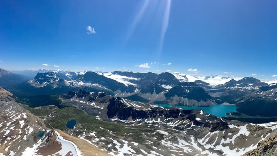 ChallengingCirque Peak Trail via Helen Lake16.3 km · 6.5 hr · 8.5 km awayA hands-on summit above Bow Lake and the Wapta Icefield.
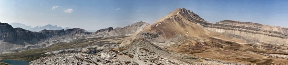 ChallengingDolomite Pass Trail17.8 km · 6.5 hr · 8.5 km awayBeyond Helen Lake, alpine meadows lead to an unmarked pass.
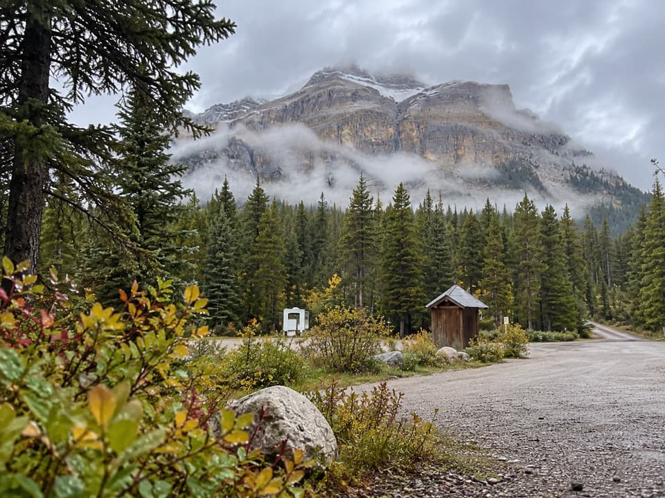 Campground · 0.1 km awayMosquito Creek CampgroundCreekside sites and mountain views at a basic Parkway campground.
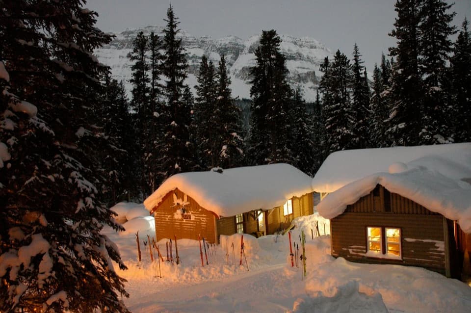 Lodging · 0.2 km awayHI Mosquito Creek Wilderness HostelA remote base with a sauna and trails just outside.
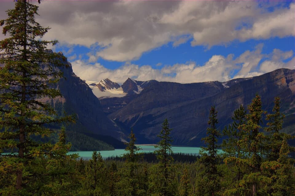 Scenic pullout · 4.9 km awayHector Lake ViewpointA quick Waputik backdrop, with only a partial glimpse of the lake.
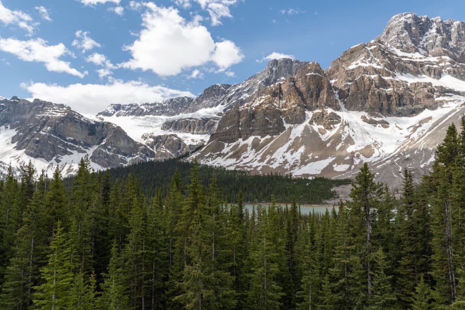 Sight · 8.4 km awayCrowfoot Glacier ViewpointA quick glacier stop with the story of its missing toe.
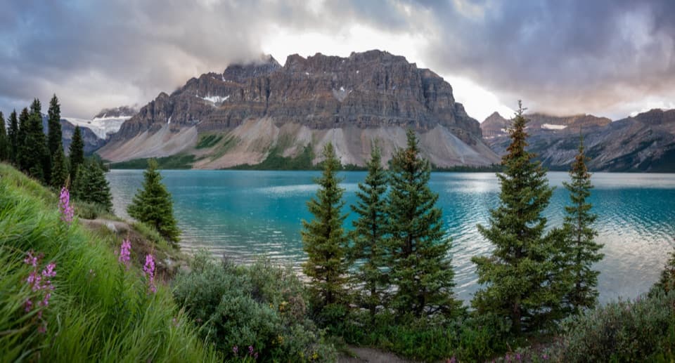 Picnic area · 9.6 km awayBow Lake Picnic SiteA quick pullout for clear lake water and high mountain views.
 Sight · 10.9 km awayBow LakeTurquoise water and glacier views, just off the Icefields Parkway.
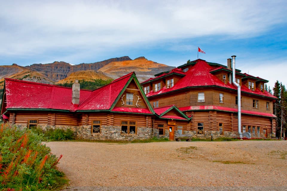 Lodging · 10.9 km awayThe Lodge at Bow LakeStay beside Bow Lake in a storied Icefields Parkway lodge.
 Sight · 12 km awayBow Glacier FallsA waterfall in the rocky basin where the Bow River begins.
Parkwolf’s Banff ranking

The audio tour guide for the drive, plus offline maps, trails, and wildlife heatmaps for when the signal drops.





