Parking
Small dirt pullout on the west side of the Icefields Parkway, about 18 km north of the Trans-Canada junction. Look for the small Hector Lake Hike sign; the established roadside viewpoint is a separate access. Use the designated pullout only.
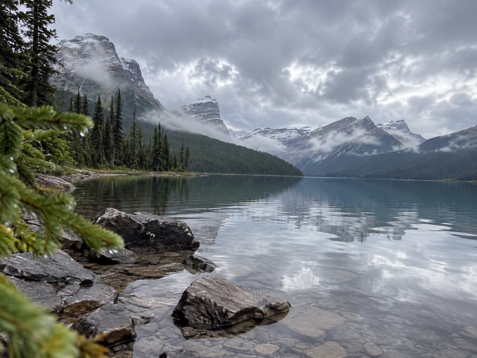
Banff National Park, AB
A short walk to a glacial lake with a demanding river ford.
Overview
Hector Lake Trail is a 4.5 km (2.8 mi) out-and-back from a small Icefields Parkway pullout to Hector Lake’s shore. The route descends through trees to the valley floor, then reaches the Bow River before the lake. The walk itself is short, but the ford is the whole decision. Allow about 1.5 to 2 hours for the round trip, including time to assess the water and enjoy the shore. I’d choose it only when the river is low and you can cross safely; otherwise turn back.
 Parkwolf’s verdictIs this the hike for you?
Map & elevation
Plan your hike

The highest, rockiest slopes around here are a summer buffet for grizzly bears.
Banff Tour Guide
Parkwolf is a GPS audio tour guide for Banff National Park. As you drive, it chimes in with what’s ahead: hidden gems, upcoming stops, history, geology, and wildlife, right through your car’s speakers.
See the Banff audio tourRecorded for this trailhead
Hector Lake Trailhead and the River Ford“You're coming up on the Hector Lake trailhead, where a forest walk leads to a mountain-ringed glacial lake.”
Plays as you drive up to this trailhead in the Parkwolf Banff Tour Guide.
More stories near here in the app
“…Loved the commentary as you drove thru. I’m sure the app can do more than I know but the tips were very helpful. I’m gonna use it when we go to Banff next month.”


Trail guide
The forest approach is mostly gentle, though visitors report muddy, rooty stretches. The direct route crosses the Bow River without a bridge. It is glacial cold and can be swift; reports describe depths from knee to thigh or waist depending on conditions. Spring and early summer usually bring higher, faster water, while late-summer levels can be lower. That is a pattern, not a guarantee, so check the current trail report and don’t cross if depth or footing gives you pause.
Some hikers follow the river edge to avoid the main crossing. That route can become faint where the water spreads into braided channels near the lake, so don’t treat it as a dependable bypass. The route mapped here follows the direct approach to the shore.
The trail starts at a small dirt pullout on the west side of the Icefields Parkway, about 18 km north of the Trans-Canada junction. Look for a small wooden Hector Lake Hike sign. The established Hector Lake viewpoint is a separate roadside stop, not this trailhead. Use the designated pullout; roadside parking is prohibited. A valid Banff National Park pass is required for park entry. Dogs are allowed on park trails in summer unless a trail restriction says otherwise, and must stay leashed.
Hector Lake honors geologist Sir James Hector, who explored the Bow Valley during the Palliser Expedition in 1858. George Dawson later gave the lake Hector’s name. At the shore, the mountain skyline fills the view across the glacial lake; this is the reason to make the walk when the river crossing is safe.
Wildlife
 123 sightingsGrizzly BearMost seen around 6 AMSighting map
 150 sightingsBrown BearMost seen around 6 PMSighting map
 44 sightingsGray WolfMost seen around 6 AMSighting map
 12 sightingsRiver OtterMost seen around 8 PMSighting map
 69 sightingsMooseMost seen around 8 PMSighting map
 466 sightingsBlack BearMost seen around 9 PMSighting map
Sighting maps show where each species has been reported across Banff. Wildlife moves, so no sighting is guaranteed.
Keep exploring
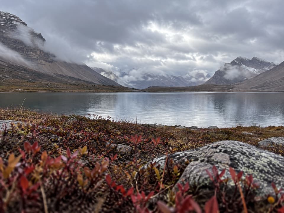 ChallengingDevon Lakes Trail61.6 km · 20.5 hr · 5.9 km awayThree high passes and two alpine lakes reward a four-day commitment.
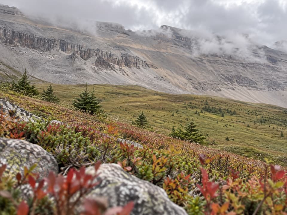 ChallengingNorth Molar Pass Trail23.2 km · 9 hr · 6 km awayA 14.4-mile out-and-back through meadows to North Molar Pass.
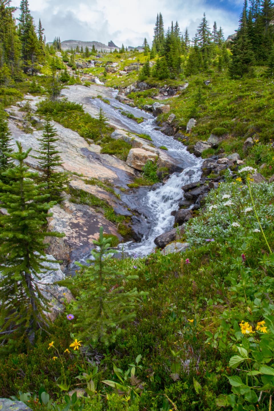 ChallengingFish Lakes Trail via North Molar Pass29.6 km · 12 hr · 6 km awayA long alpine out-and-back to Fish Lakes over North Molar Pass.
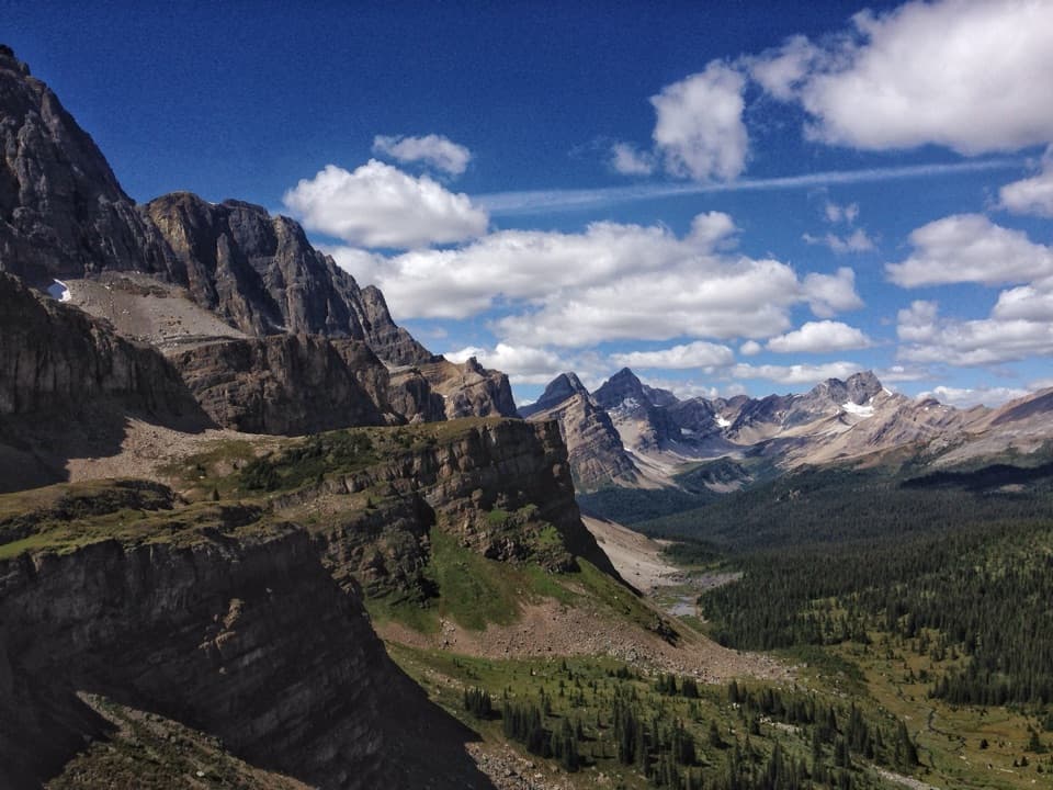 ChallengingMolar Pass Trail (South Molar Pass)19.6 km · 7.5 hr · 6 km awayCreekside forest gives way to wide meadows below a rocky pass.
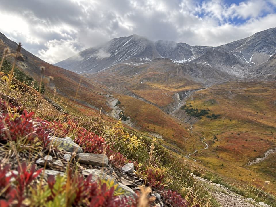 ChallengingPipestone Pass Trail16.4 km · 8 hr · 11.1 km awayA full-day highline through open meadows to the red-rock ridge.
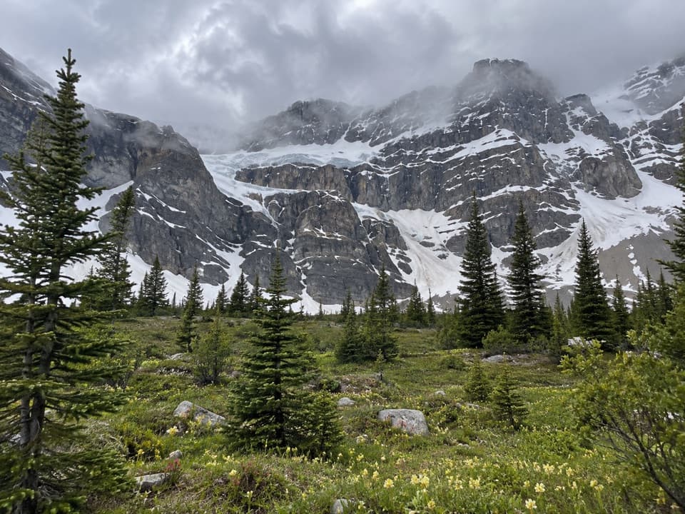 ChallengingCrowfoot Pass and Balfour Viewpoint Trail15.4 km · 6 hr · 12.1 km awayA cold ford, a broad pass, and a waterfall view.
 ChallengingDolomite Pass Trail17.8 km · 6.5 hr · 13.1 km awayBeyond Helen Lake, alpine meadows lead to an unmarked pass.
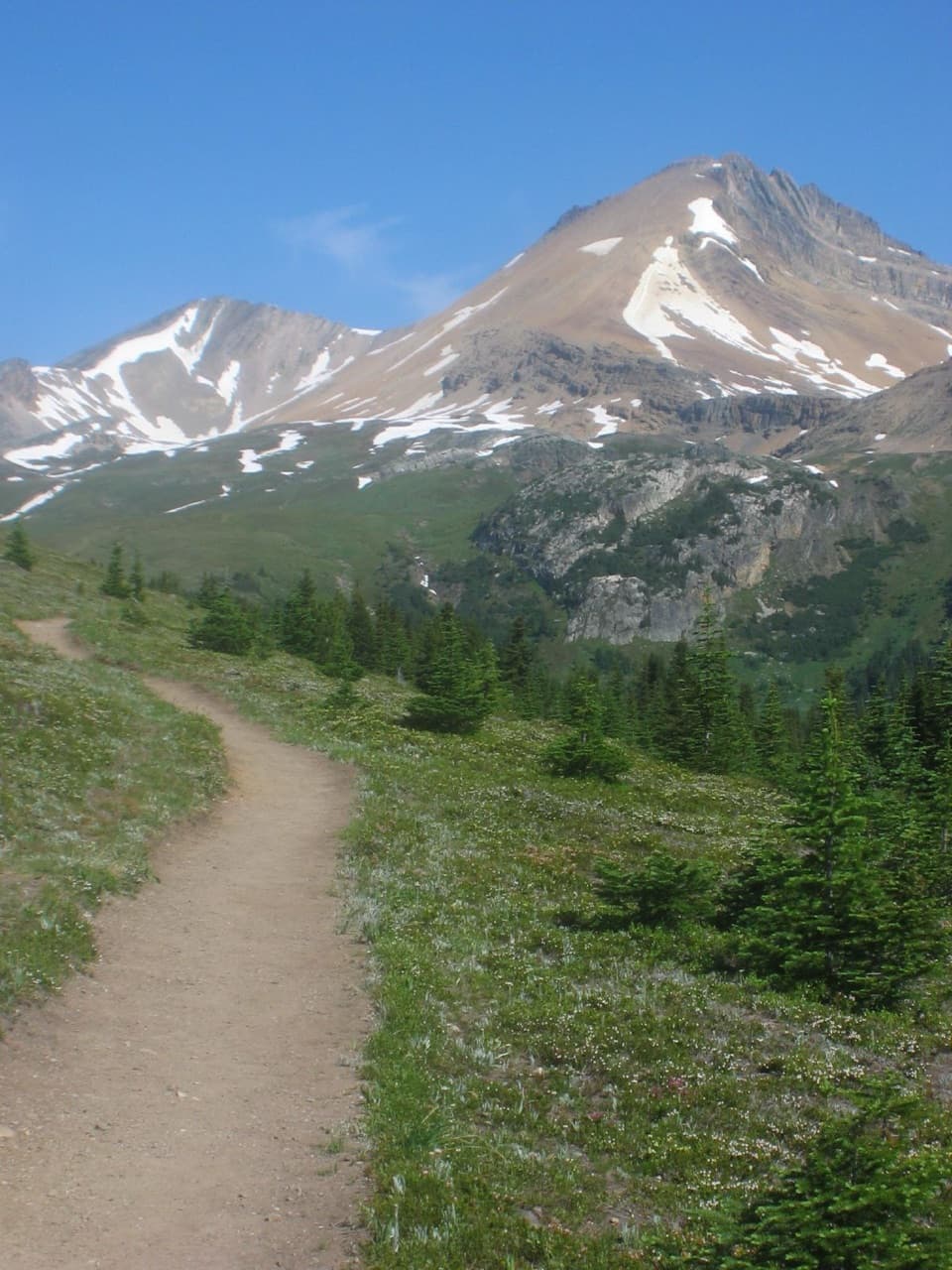 ModerateHelen Lake Trail11.7 km · 4.5 hr · 13.1 km awayA rooty climb earns glacier views before a modest alpine lake.
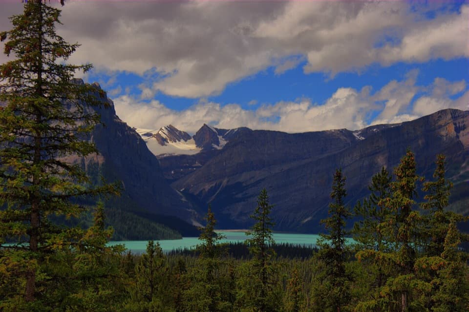 Scenic pullout · 1.1 km awayHector Lake ViewpointA quick Waputik backdrop, with only a partial glimpse of the lake.
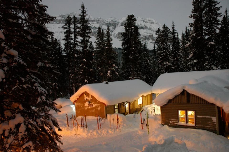 Lodging · 6 km awayHI Mosquito Creek Wilderness HostelA remote base with a sauna and trails just outside.
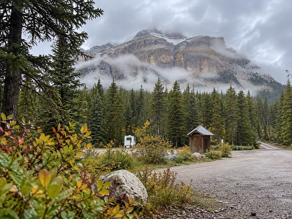 Campground · 6.1 km awayMosquito Creek CampgroundCreekside sites and mountain views at a basic Parkway campground.
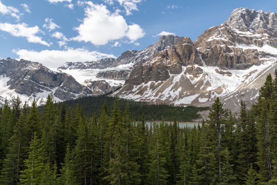 Sight · 13.1 km awayCrowfoot Glacier ViewpointA quick glacier stop with the story of its missing toe.
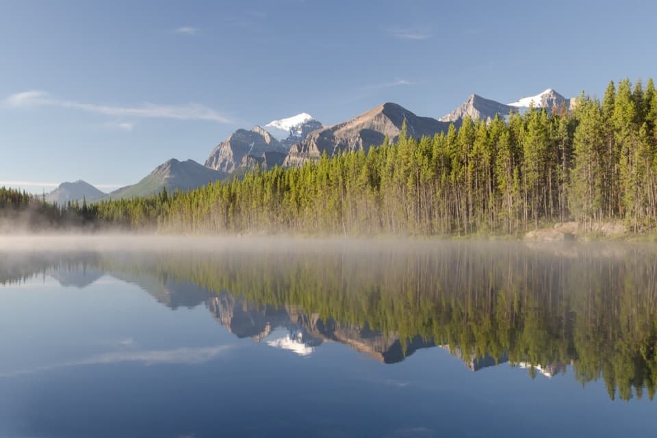 Sight · 14.4 km awayHerbert LakeA quick pause for lake reflections and a short shoreline loop.
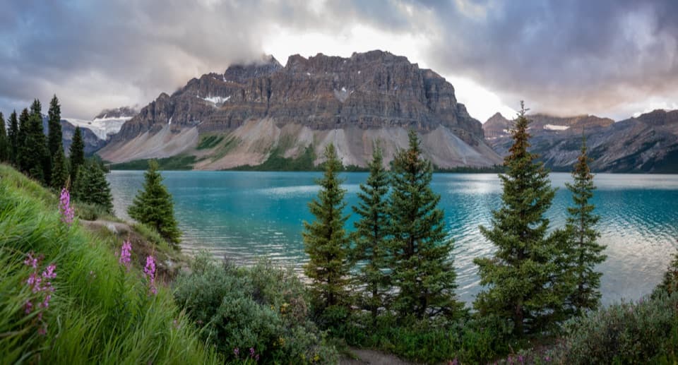 Picnic area · 14.4 km awayBow Lake Picnic SiteA quick pullout for clear lake water and high mountain views.
 Sight · 15.5 km awayBow Glacier FallsA waterfall in the rocky basin where the Bow River begins.
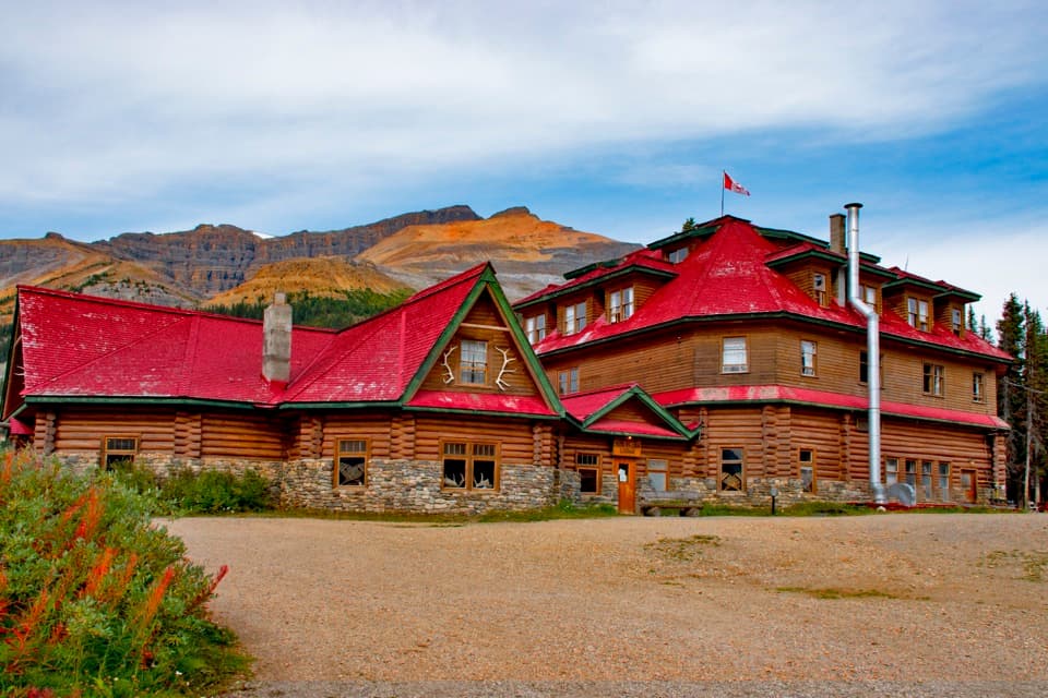 Lodging · 15.6 km awayThe Lodge at Bow LakeStay beside Bow Lake in a storied Icefields Parkway lodge.
Parkwolf’s Banff ranking
The audio tour guide for the drive, plus offline maps, trails, and wildlife heatmaps for when the signal drops.





