Parking
The access is across the Icefields Parkway from HI Mosquito Creek Wilderness Hostel. Use designated off-highway parking near the Mosquito Creek campground and hostel; roadside parking is prohibited.
Banff National Park, AB
Three high passes and two alpine lakes reward a four-day commitment.
Overview
Map & elevation
Plan your hike

The highest, rockiest slopes around here are a summer buffet for grizzly bears.
Banff Tour Guide
Parkwolf is a GPS audio tour guide for Banff National Park. As you drive, it chimes in with what’s ahead: hidden gems, upcoming stops, history, geology, and wildlife, right through your car’s speakers.
See the Banff audio tourRecorded for this trailhead
Mosquito Creek: Camping and the Molar Pass Hike“Mosquito Creek is coming up, with a small seasonal campground and a separate wilderness hostel. Choose the campground for a simple wooded base on the Parkway, with some sites beside the creek and mountain views.”
Plays as you drive up to this trailhead in the Parkwolf Banff Tour Guide.
More stories near here in the app
“…Loved the commentary as you drove thru. I’m sure the app can do more than I know but the tips were very helpful. I’m gonna use it when we go to Banff next month.”


Trail guide
Devon Lakes Trail is a strenuous backcountry out-and-back from the Icefields Parkway to two alpine lakes, crossing North Molar Pass and the Pipestone–Clearwater high country. Plan on about 61 km (38 mi) round trip and roughly 20 hours of walking, normally spread over four days with nights at Fish Lakes and Devon Lakes before returning the same way. Detailed day-by-day distances support the longer figure; shorter headline estimates conflict. The public route trace ends about half a kilometre from the nearest mapped lake shore, so expect to navigate the final approach.
The route starts across the Icefields Parkway from HI Mosquito Creek Wilderness Hostel. A steep first climb eases toward Mosquito Creek Campground at about 5 km. Past camp, the tread gets rougher, with roots, mud and streambed sections before Molar Meadows opens around 8 km. From there the climb to North Molar Pass is rocky but direct; on the far side, open meadows lead down toward Fish Lakes. A stream near the bottom can be too deep to rock-hop. The crossing depth varies, and a bridge lies farther downstream.
The described route follows the highline from Fish Lakes rather than the lower Pipestone River valley variant. From near the campground outhouse, the way heads north, crosses a stream and climbs steeply for less than 100 m. The tread is faint while it contours toward Moose Lake, so the map and terrain both matter. It becomes clearer through meadows, tarns and small streams, then crosses Pipestone Pass and Clearwater Pass. Watch the route around Devon Mountain to avoid dropping farther into the valley than needed. The two Devon Lakes sit near the eastern end of Clearwater Pass; the farther lake is smaller and about 30 m lower.
A four-day plan breaks the long distance into manageable stages: Mosquito Creek to Fish Lakes, on to Devon Lakes, back to Fish Lakes, then out to the highway. Reserve Fish Lakes campground MO18 through Parks Canada. Devon Lakes has no designated campground; random camping is allowed only in designated areas with a Parks Canada backcountry permit. Those camps must be at least 5 km from a trailhead or designated campground, 50 m from the trail and 70 m from water. Carry all food and supplies; there is no resupply on route. Bear-resistant food containers are required for random camping from April 1 through November 15.
Wildlife
 123 sightingsGrizzly BearMost seen around 6 AMSighting map
 150 sightingsBrown BearMost seen around 6 PMSighting map
 44 sightingsGray WolfMost seen around 6 AMSighting map
 12 sightingsRiver OtterMost seen around 8 PMSighting map
 69 sightingsMooseMost seen around 8 PMSighting map
 466 sightingsBlack BearMost seen around 9 PMSighting map
Sighting maps show where each species has been reported across Banff. Wildlife moves, so no sighting is guaranteed.
Keep exploring
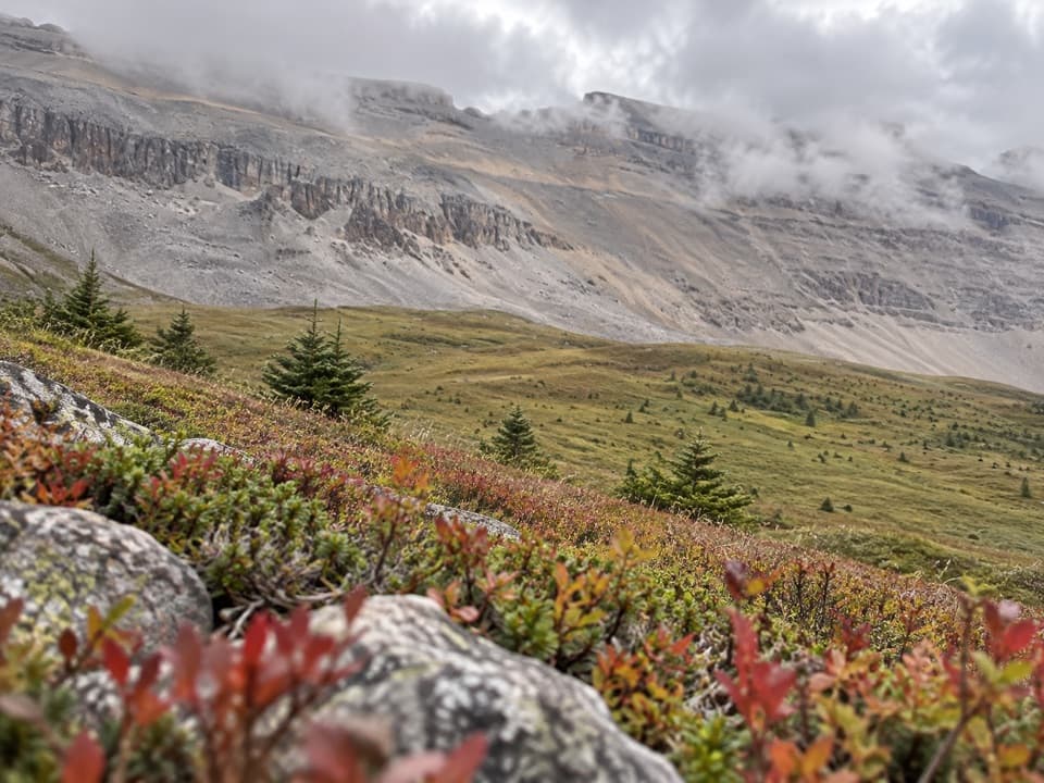 ChallengingNorth Molar Pass Trail23.2 km · 9 hr · 0.1 km awayA 14.4-mile out-and-back through meadows to North Molar Pass.
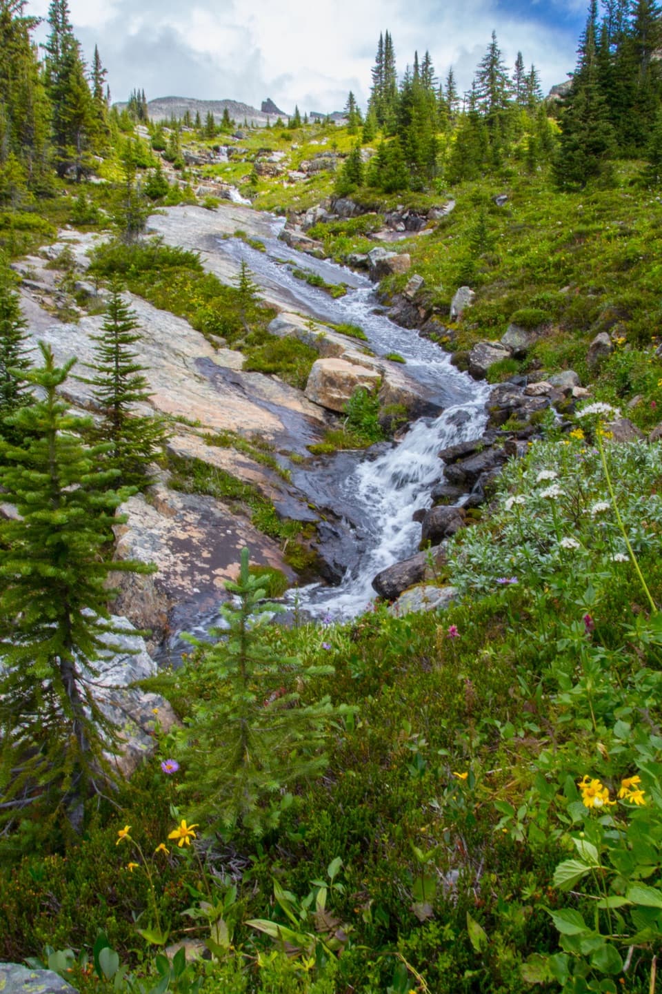 ChallengingFish Lakes Trail via North Molar Pass29.6 km · 12 hr · 0.1 km awayA long alpine out-and-back to Fish Lakes over North Molar Pass.
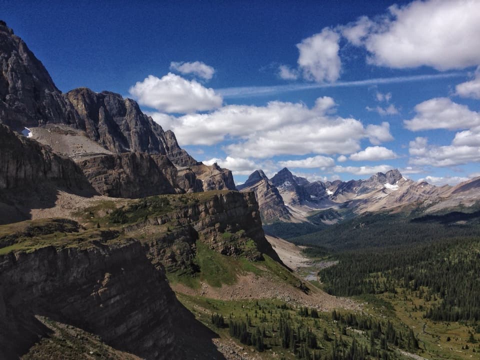 ChallengingMolar Pass Trail (South Molar Pass)19.6 km · 7.5 hr · 0.1 km awayCreekside forest gives way to wide meadows below a rocky pass.
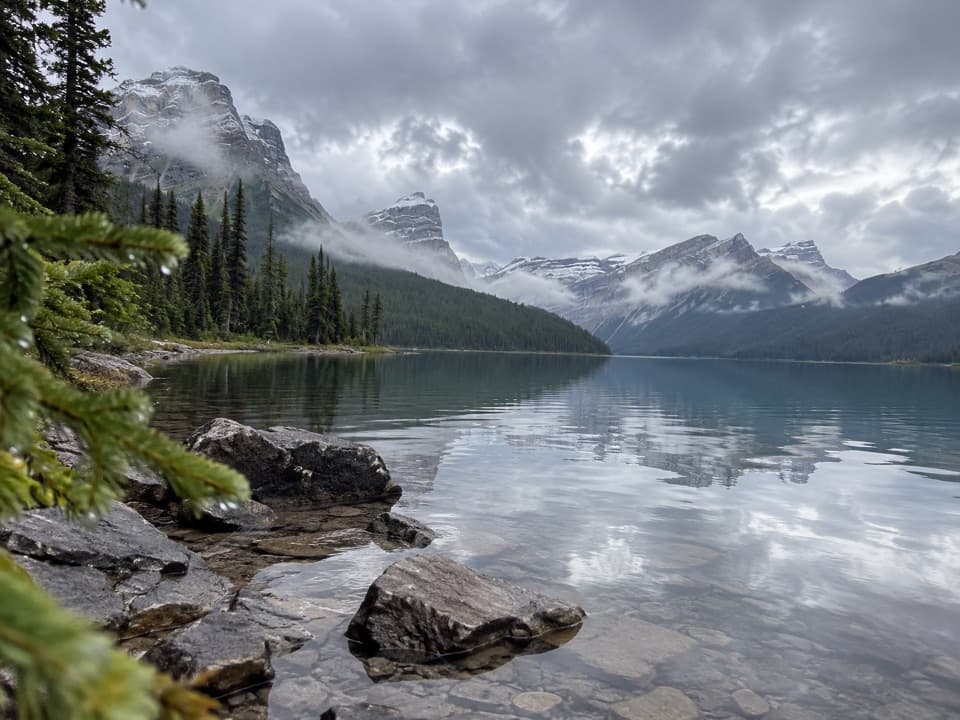 ModerateHector Lake Trail4.5 km · 1.8 hr · 5.9 km awayA short walk to a glacial lake with a demanding river ford.
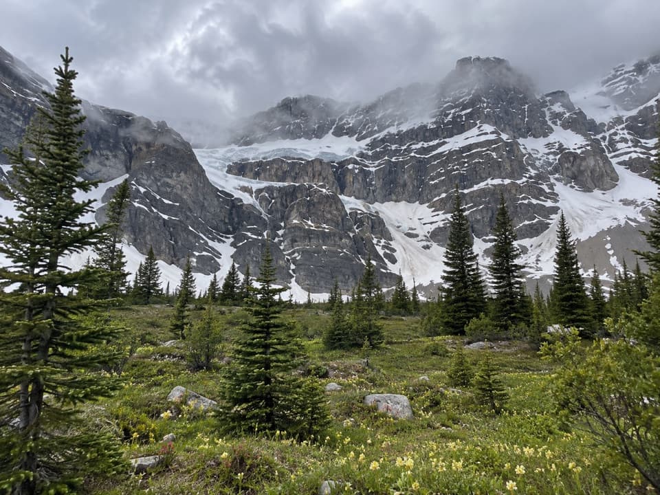 ChallengingCrowfoot Pass and Balfour Viewpoint Trail15.4 km · 6 hr · 7.5 km awayA cold ford, a broad pass, and a waterfall view.
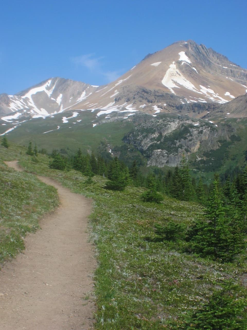 ModerateHelen Lake Trail11.7 km · 4.5 hr · 8.5 km awayA rooty climb earns glacier views before a modest alpine lake.
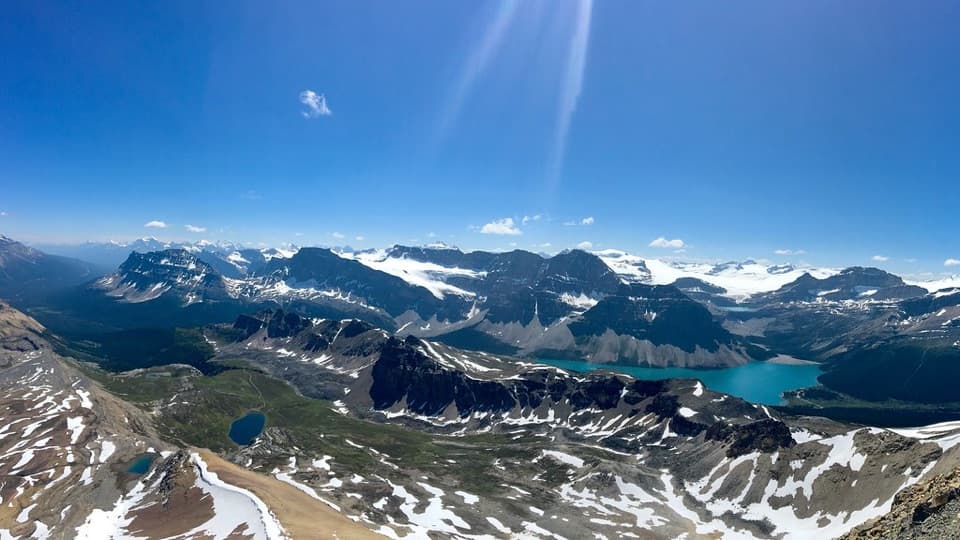 ChallengingCirque Peak Trail via Helen Lake16.3 km · 6.5 hr · 8.5 km awayA hands-on summit above Bow Lake and the Wapta Icefield.
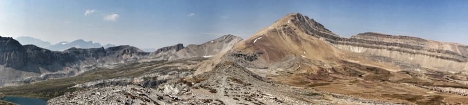 ChallengingDolomite Pass Trail17.8 km · 6.5 hr · 8.5 km awayBeyond Helen Lake, alpine meadows lead to an unmarked pass.
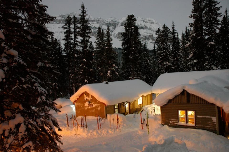 Lodging · 0.2 km awayHI Mosquito Creek Wilderness HostelA remote base with a sauna and trails just outside.
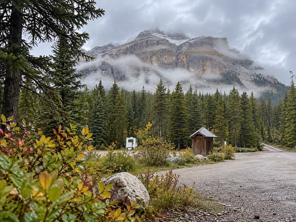 Campground · 0.2 km awayMosquito Creek CampgroundCreekside sites and mountain views at a basic Parkway campground.
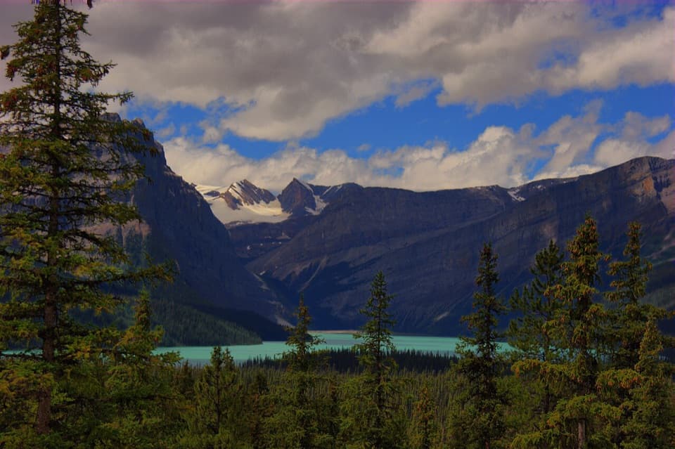 Scenic pullout · 4.8 km awayHector Lake ViewpointA quick Waputik backdrop, with only a partial glimpse of the lake.
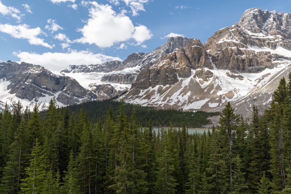 Sight · 8.5 km awayCrowfoot Glacier ViewpointA quick glacier stop with the story of its missing toe.
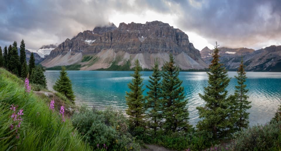 Picnic area · 9.7 km awayBow Lake Picnic SiteA quick pullout for clear lake water and high mountain views.
 Sight · 11 km awayBow LakeTurquoise water and glacier views, just off the Icefields Parkway.
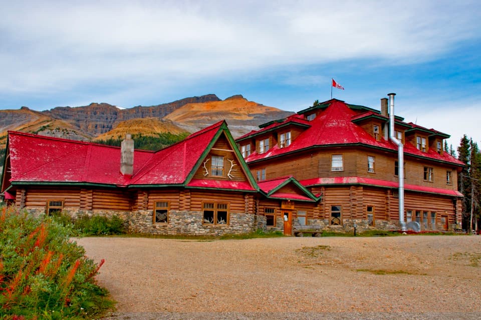 Lodging · 11 km awayThe Lodge at Bow LakeStay beside Bow Lake in a storied Icefields Parkway lodge.
 Sight · 12 km awayBow Glacier FallsA waterfall in the rocky basin where the Bow River begins.
Parkwolf’s Banff ranking

The audio tour guide for the drive, plus offline maps, trails, and wildlife heatmaps for when the signal drops.





