Parking
Fish Lakes Campground (MO18) is the access point, not a vehicle trailhead. Reach it on foot from the Mosquito Creek Trailhead via North Molar Pass; arrange the backcountry reservation and permit before leaving the road.
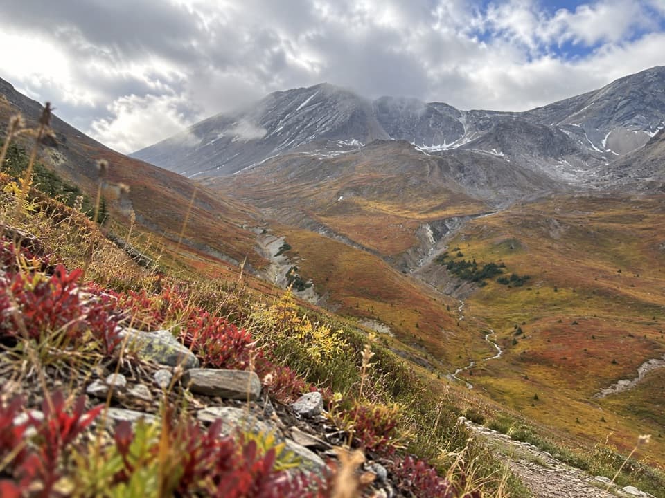
Banff National Park, AB
A full-day highline through open meadows to the red-rock ridge.
Overview
Map & elevation
Plan your hike

The highest, rockiest slopes around here are a summer buffet for grizzly bears.
Banff Tour Guide
Parkwolf is a GPS audio tour guide for Banff National Park. As you drive, it chimes in with what’s ahead: hidden gems, upcoming stops, history, geology, and wildlife, right through your car’s speakers.
See the Banff audio tourMore stories near here in the app
“…Loved the commentary as you drove thru. I’m sure the app can do more than I know but the tips were very helpful. I’m gonna use it when we go to Banff next month.”


Trail guide
Pipestone Pass Trail is a remote out-and-back from Fish Lakes Campground (MO18) along the alpine highline to the ridge northeast of Pipestone Pass. The mapped round trip is about 10.2 miles (16.4 km), or 5.1 miles (8.2 km) each way; allow about eight hours. It’s a long, exposed day with rolling high-country climbs and several stream crossings. Reaching the campground is a separate backpack from Mosquito Creek over North Molar Pass, so this is for hikers already at Fish Lakes or travelling a multi-day route, not a roadside day hike.
This line turns on the highline shoulder. Continuing to the pass saddle and on toward Clearwater Pass or Devon Lakes makes a longer traverse and is not included in the out-and-back distance.
From camp, head past the ranger cabin, cross a tributary and climb steeply through forest. The route then opens onto the western side of Pipestone Valley and traverses alpine meadow and willow slopes, with repeated ups and downs. The tread is often firm but can fade or braid, especially where it meets trees; the route can take attention to follow. Moose Lake is a small lake with a dramatic mountain backdrop, a good pause before the high valley opens around you. Several streams cross the line, so expect wet feet when the water is moving fast.
Parks Canada identifies the Pipestone River Valley as critical grizzly habitat and encourages hikers to use the alpine trail between Fish Lakes and the pass. The valley-bottom trail is no longer maintained beyond the junction. Stay on the highline; the upper valley also holds important summer food for grizzlies, including glacier lilies. Carry bear spray and keep the group together in this remote country.
The Pipestone River is named for red and green soft shale that people historically carved into pipes. James Hector crossed the pass on August 27, 1859; the Earl of Southesk came through in the opposite direction later that season, and their journeys nearly met. Near the pass, red rock and yellow arnica stand out against the pale cliffs. For a photo, include the stream in the lower frame so the valley’s steep sides have scale.
Fish Lakes is a backcountry campground, not a vehicle trailhead. Reach it on foot from the Mosquito Creek Trailhead via North Molar Pass, and arrange the Parks Canada backcountry reservation and permit before leaving the road. High passes can stay snowbound into late June and streams are highest in early summer; check current conditions before setting out. Dogs are allowed on summer trails unless a restriction is posted, and must stay on a leash no longer than 3 metres.
Wildlife
 123 sightingsGrizzly BearMost seen around 6 AMSighting map
 150 sightingsBrown BearMost seen around 6 PMSighting map
 44 sightingsGray WolfMost seen around 6 AMSighting map
 12 sightingsRiver OtterMost seen around 8 PMSighting map
 69 sightingsMooseMost seen around 8 PMSighting map
 466 sightingsBlack BearMost seen around 9 PMSighting map
Sighting maps show where each species has been reported across Banff. Wildlife moves, so no sighting is guaranteed.
Keep exploring
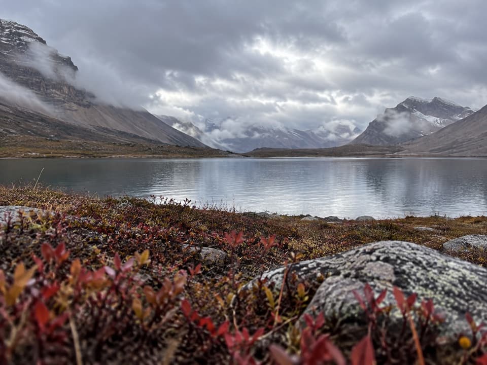 ChallengingDevon Lakes Trail61.6 km · 20.5 hr · 9.6 km awayThree high passes and two alpine lakes reward a four-day commitment.
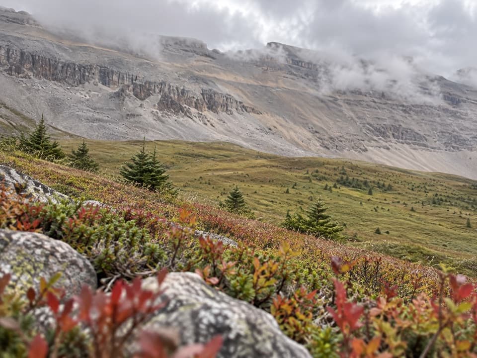 ChallengingNorth Molar Pass Trail23.2 km · 9 hr · 9.7 km awayA 14.4-mile out-and-back through meadows to North Molar Pass.
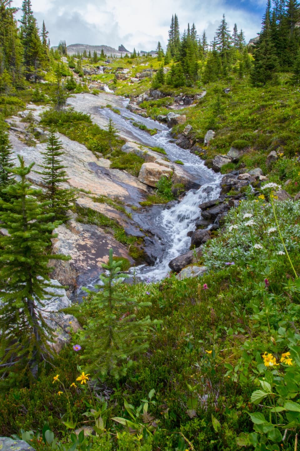 ChallengingFish Lakes Trail via North Molar Pass29.6 km · 12 hr · 9.7 km awayA long alpine out-and-back to Fish Lakes over North Molar Pass.
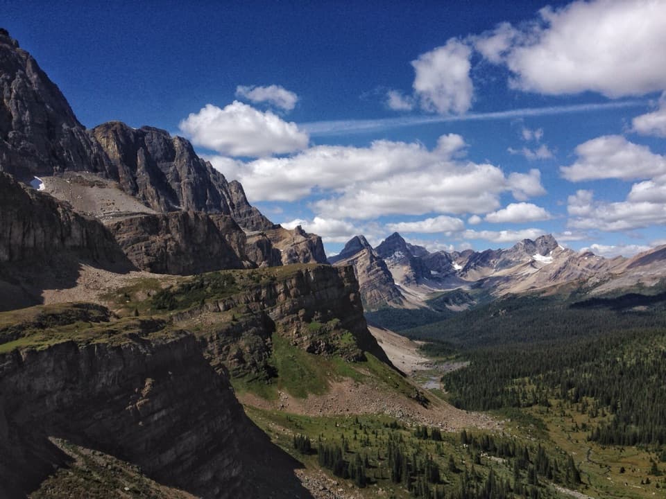 ChallengingMolar Pass Trail (South Molar Pass)19.6 km · 7.5 hr · 9.7 km awayCreekside forest gives way to wide meadows below a rocky pass.
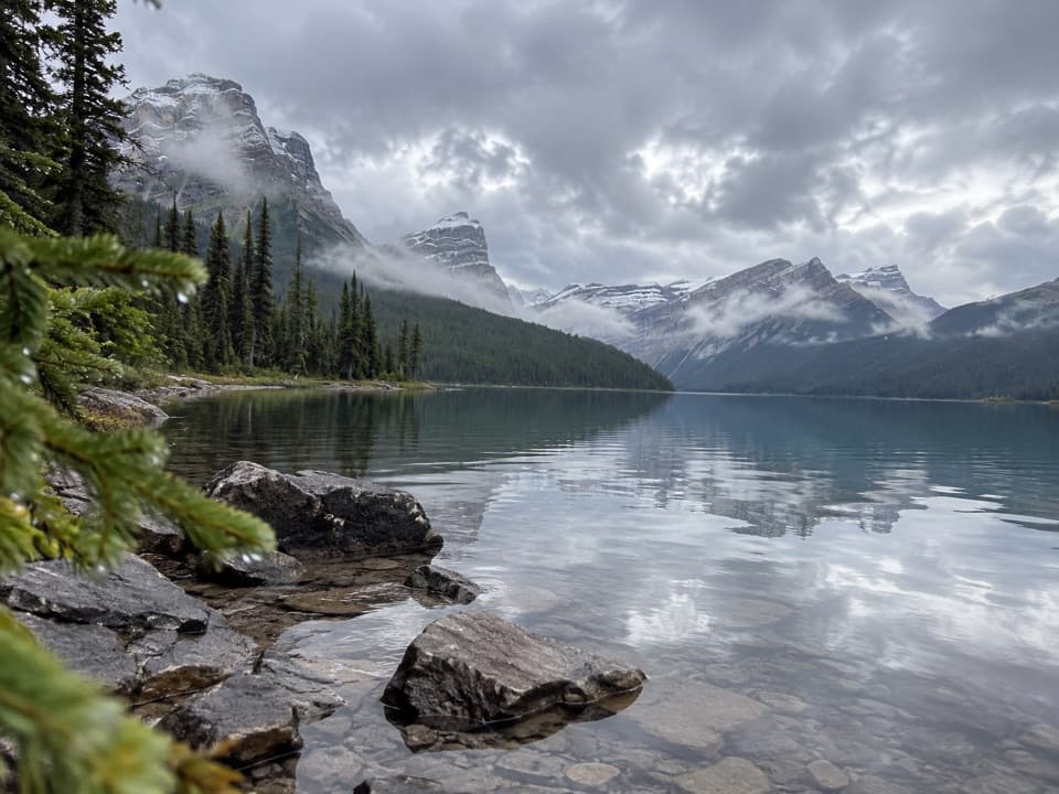 ModerateHector Lake Trail4.5 km · 1.8 hr · 11.1 km awayA short walk to a glacial lake with a demanding river ford.
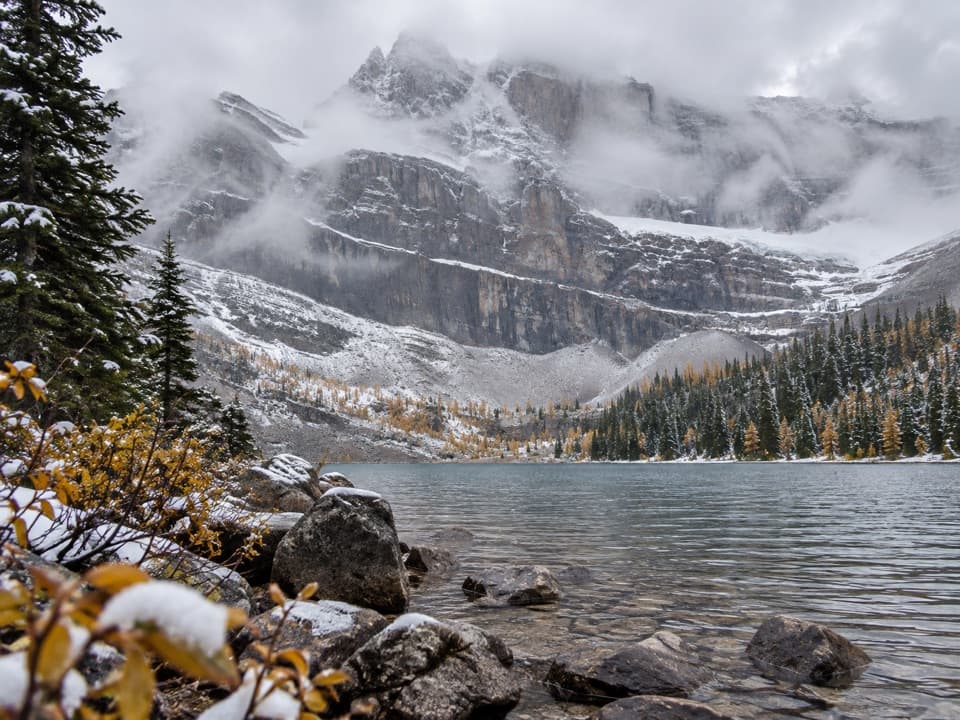 ModerateMyosotis and Zigadenus Lakes Trail6.3 km · 2 hr · 15.8 km awayA waterfall, two alpine lakes, and a headwall above the larches.
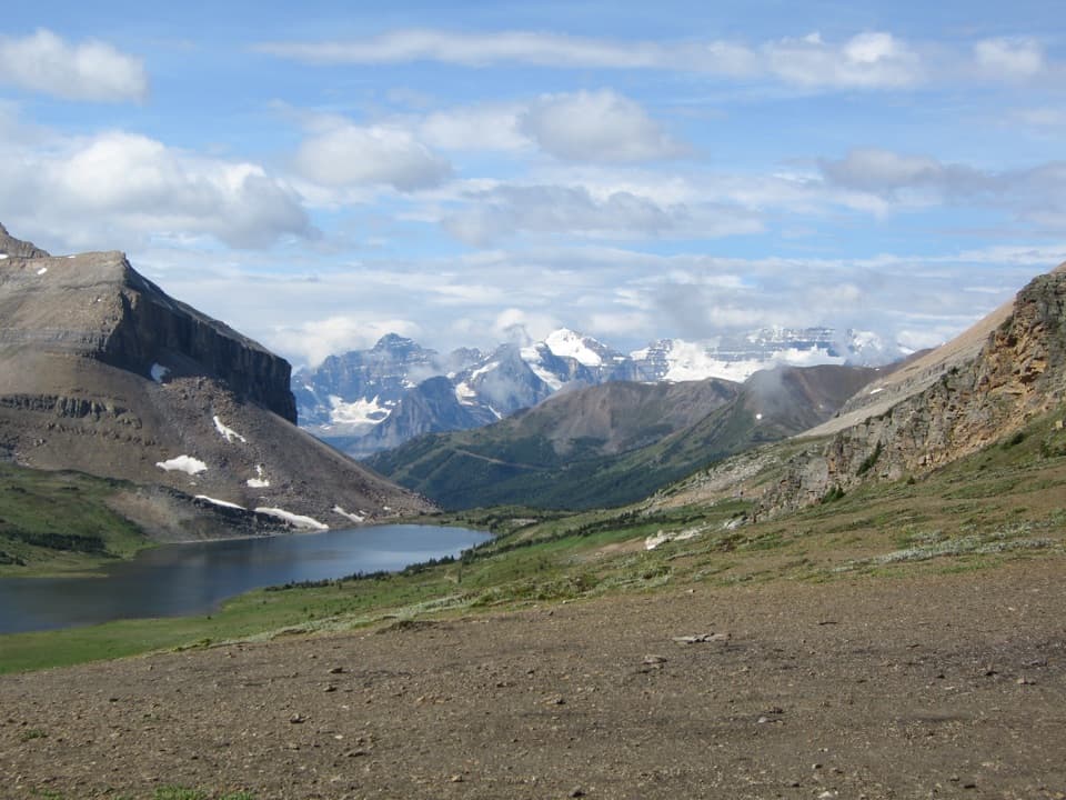 ChallengingPacker Pass Trail5 km · 5 hr · 15.8 km awayTurquoise lakes and a rough, lightly signed pass crossing
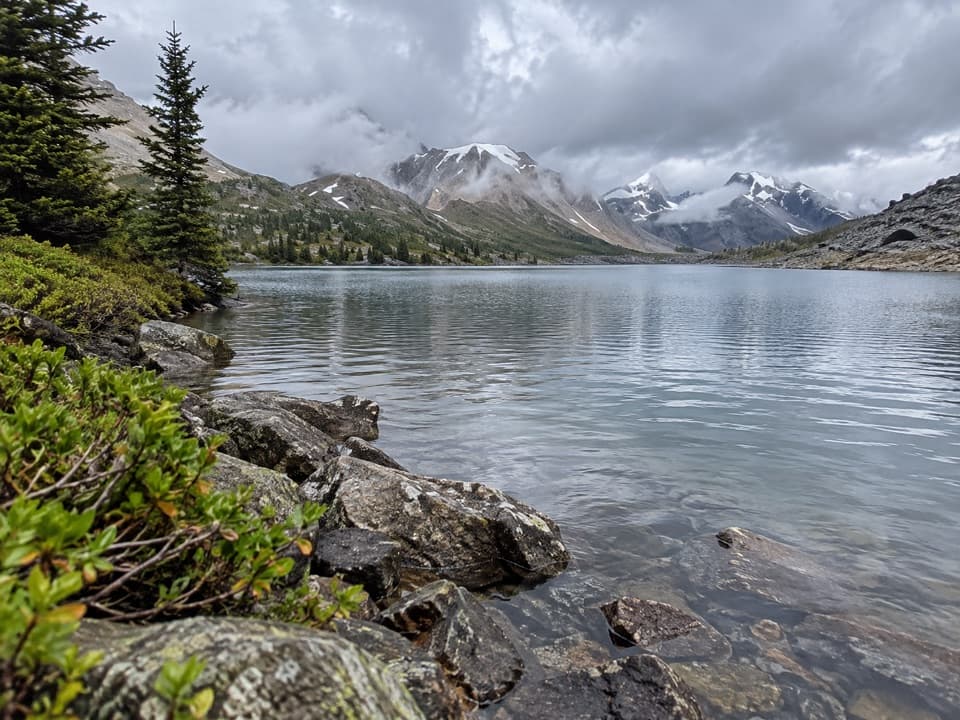 ModerateMerlin Lake Trail4.9 km · 3.5 hr · 15.8 km awayA rocky scramble to a quiet alpine lake above Castilleja.
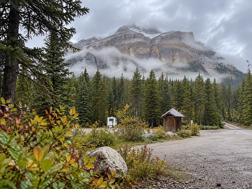 Campground · 9.8 km awayMosquito Creek CampgroundCreekside sites and mountain views at a basic Parkway campground.
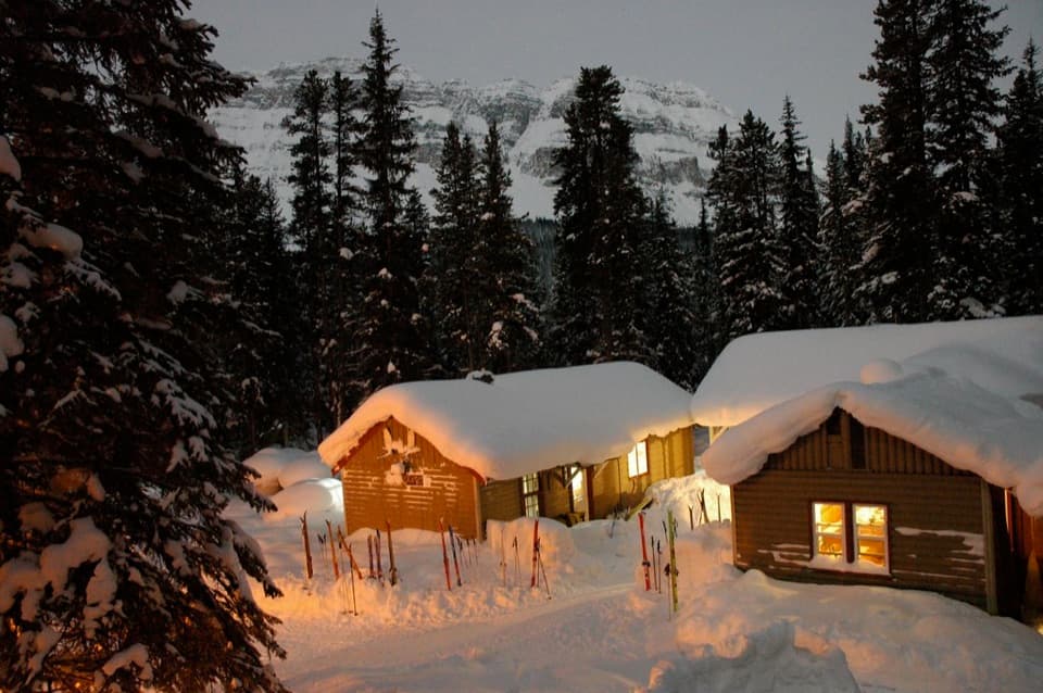 Lodging · 9.8 km awayHI Mosquito Creek Wilderness HostelA remote base with a sauna and trails just outside.
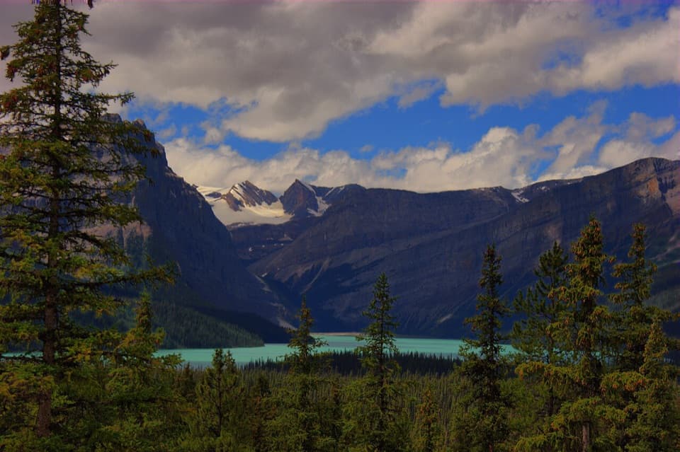 Scenic pullout · 10.5 km awayHector Lake ViewpointA quick Waputik backdrop, with only a partial glimpse of the lake.
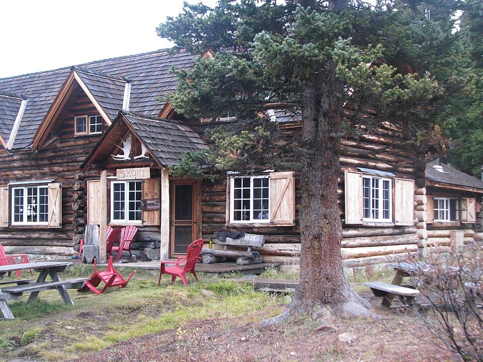 Lodging · 15.8 km awaySkoki LodgeA candlelit historic lodge reached on foot through Skoki Valley
Parkwolf’s Banff ranking

The audio tour guide for the drive, plus offline maps, trails, and wildlife heatmaps for when the signal drops.





