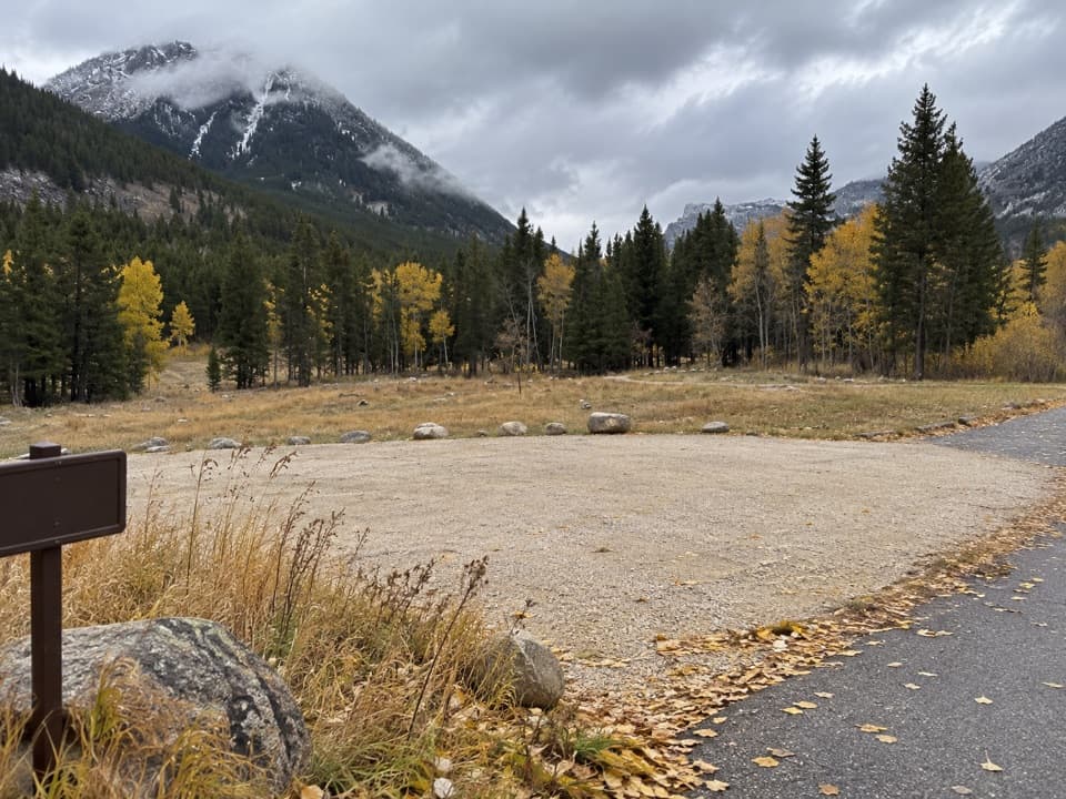
Face-of-the-Mountain Trail #7 in Beartooth Highway

Beartooth Highway, MT · WY

Face-of-the-Mountain Trail #7

Old highway grade gives way to a remote Line Creek Plateau traverse.

Length
15mi
Time
10hr
Elev. change
1,959ft
Difficulty
Challenging
  • High point 7,612 ft
Parkwolf audio tour62 stories across Beartooth Highway’s roads

Overview

About Face-of-the-Mountain Trail #7

Why go

  • The opening miles follow the historic Black and White Trail alignment.
  • A long traverse through Mount Maurice and alpine Line Creek country.

Heads up

  • The 15-mile point-to-point route has no documented road pickup at its far junction.
  • Total cumulative ascent is uncertain because published figures conflict.

Map & elevation

The route

Loading the Beartooth Highway map
Full map
Elevation5,653–7,612 ft
TrailheadFace-of-the-Mountain Trail #7 Trailhead on Meeteetse Trail Road45.13756, -109.23679
Keep this map with you offline in the Parkwolf app

Plan your hike

Before you go

Parking

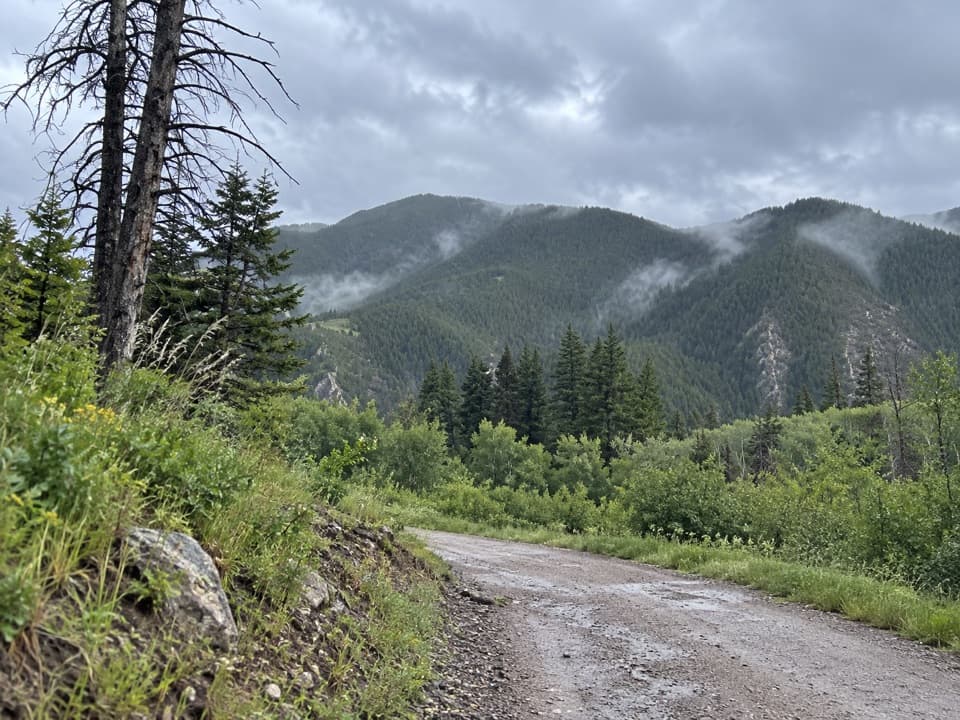
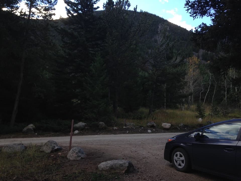
From the Beartooth Ranger District office in Red Lodge, follow US 212 north 0.2 miles, turn onto Rock Creek Trail, then immediately right onto Meeteetse Trail Road and continue 3.4 miles to the trailhead on the right. Parking is ample, with room for horse trailers; there is no toilet. The dirt road can be slick and muddy when wet.

Safety

The first 1.5 miles cross private property; stay on the trail. This is a remote, high-elevation point-to-point hike ending at a trail junction without a documented road exit, so plan transportation or a return before starting. The Forest Service advises carrying bear spray here.

1 active Beartooth Highway alert

  • ClosureBeartooth Highway seasonal closure and falling-rock advisoryBeartooth Highway (US-212) is closed for the season between Cooke City and Red Lodge; do not plan to travel the highway as a through route.Official details
Beartooth Highway alerts
A park ranger sits on a dash-mounted phone, talking, as Parkwolf’s Tour Guide plays “Army Cutworm Moths: A Grizzly Bear Buffet” on Grand Loop Road below Dunraven Pass in Yellowstone
Parkwolf Tour GuideThe highest, rockiest slopes around here are a summer buffet for grizzly bears.

Beartooth Highway Tour Guide

Your drive to Face-of-the-Mountain Trail #7, narrated.

Parkwolf is a GPS audio tour guide for Beartooth Highway. As you drive, it chimes in with what’s ahead: hidden gems, upcoming stops, history, geology, and wildlife, right through your car’s speakers.

See the Beartooth Highway audio tour

More stories near here in the app

  • A Grouse's Drumroll
  • Alice Greenough Takes the Show on the Road
  • West Fork Road: Calamity and Sentinel Falls
  • Trees Pruned by Winter
  • 62 audio storiesacross Beartooth Highway’s roads, triggered by GPS as you drive
  • Wildlife heatmapsfor Grizzly Bear, Gray Wolf, Bison, and 13 more
  • Works offlinemaps, 82 trails, 36 places, and audio download before you lose signal
  • CarPlay readysimple controls built for the drive
★★★★★
“Fantastic app with many points of information… It’s great to just turn on while you’re driving and it gives you an audio tour of the national Park. We love it!!!!”
JMJamesApp Store review
Download Parkwolf on the App StoreGet Parkwolf on Google Play

4.7 from 8,600+ ratings

Trail guide

Hiking Face-of-the-Mountain Trail #7

A long point-to-point hikeFace-of-the-Mountain Trail 7 is a 15-mile one-way hike from Meeteetse Trail Road to the…

Face-of-the-Mountain Trail #7 is a 15-mile one-way hike from Meeteetse Trail Road to the junction with Line Creek Basin Trail #9A. It follows the east side of Mount Maurice and crosses the Line Creek Plateau. The Forest Service centerline measures 14.13 miles, while the trail page reports 15, so the stored 15 miles is the rounded point-to-point length. Expect a full day, about 10 hours. The south end is a trail junction with no documented road pickup; arrange a ride or continuation before starting. Walking back roughly doubles the distance. The mapped route rises from about 5,650 to 7,610 feet and finishes roughly 1,400 feet above its start, but that net rise is not total climbing; published ascent figures conflict.

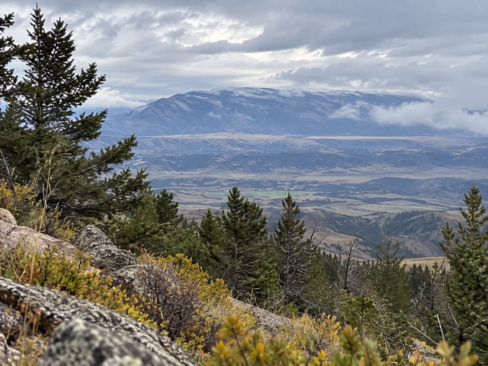
Start and accessThe first 1.5 miles cross private property. Stay on the trail through this section.

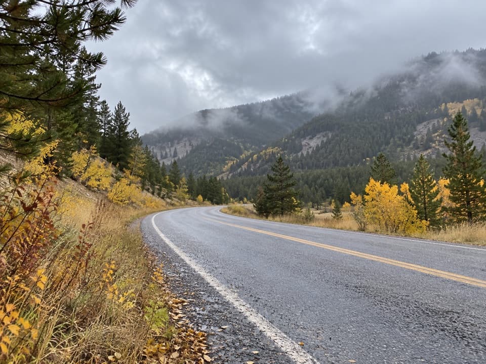
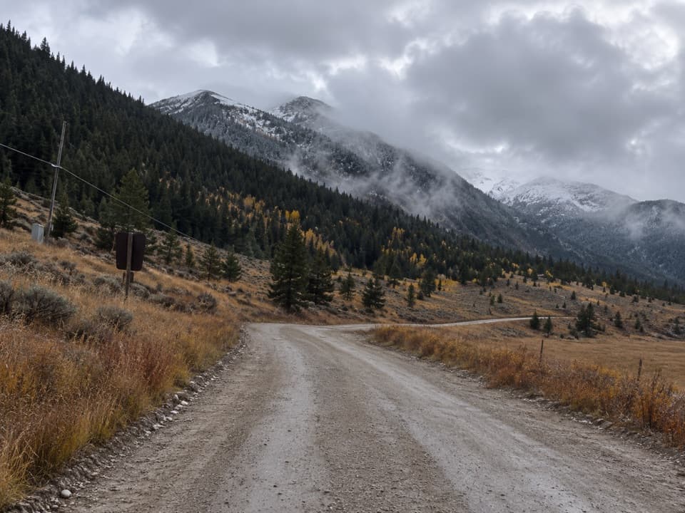
The first 1.5 miles cross private property. Stay on the trail through this section. The dirt access road can be slick and muddy when wet. Highway 212 is typically open from Memorial Day to October 15, weather permitting, and snow can linger at higher elevations into early or mid-July; check the road opening before making the drive.

Walk the old highway lineThe first three miles follow an early route of the Beartooth Highway, known as the Black and…

The first three miles follow an early route of the Beartooth Highway, known as the Black and White Trail. Surveying and work began in 1919, but the project lost funding and was abandoned before construction of the present highway began in 1932. This opening gives the hike a distinct historical thread before it continues into the plateau country.

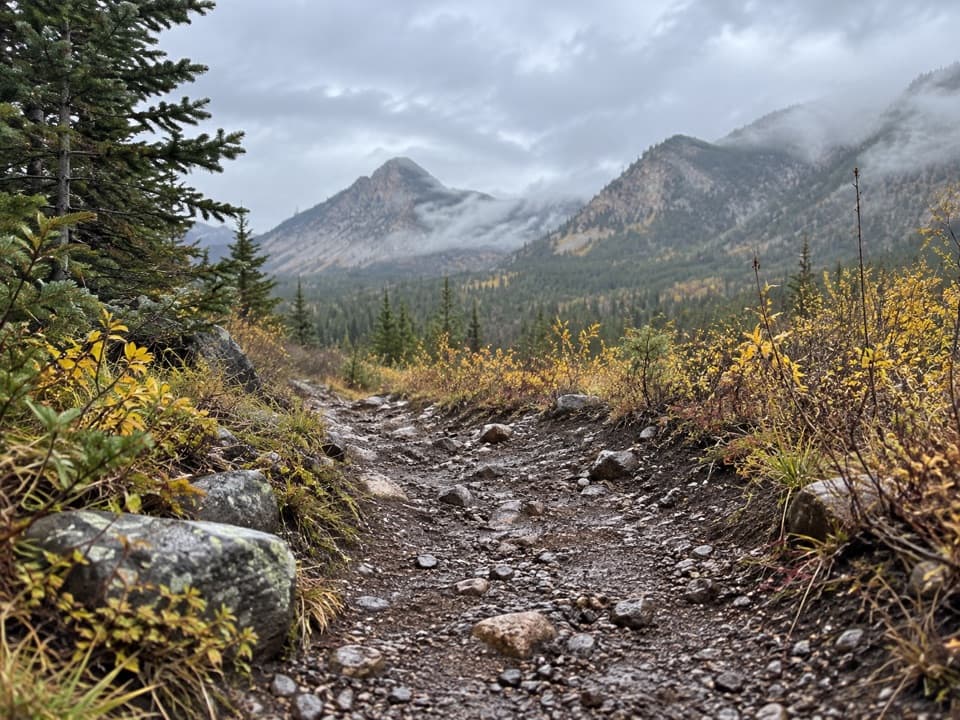
Mount Maurice and Line CreekThe route crosses natural ground on the east side of Mount Maurice and the Line Creek Plateau.

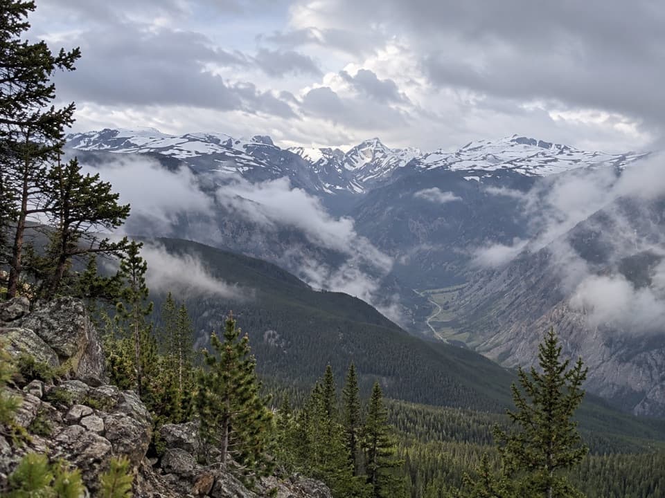
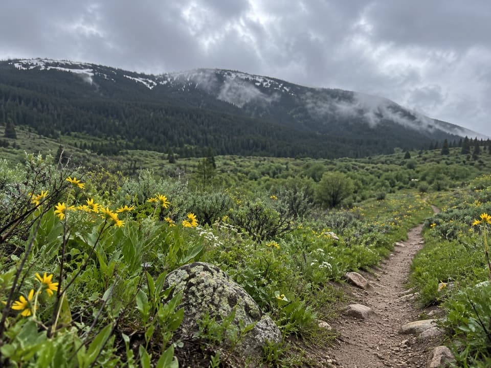
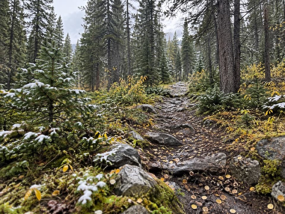
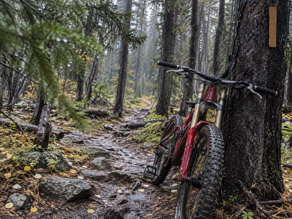
The route crosses natural ground on the east side of Mount Maurice and the Line Creek Plateau. A route description notes views toward Red Lodge and North Fork Grove Creek Canyon; the Line Creek area includes extensive alpine tundra. The trail is also open to mountain bikes and horses. Segment-by-segment grades, crossings and exact viewpoint locations are not documented, so expect a remote natural-surface route rather than a built path. The Forest Service advises hikers to carry bear spray in this area.

Wildlife

Wildlife in Beartooth Highway

All Beartooth Highway wildlife maps

Sighting maps show where each species has been reported across Beartooth Highway. Wildlife moves, so no sighting is guaranteed.

Keep exploring

Near Face-of-the-Mountain Trail #7

See it all on the map

Trails that start nearby

Places near the trailhead

Parkwolf’s Beartooth Highway ranking

Top-rated trails in Beartooth Highway

All 82 trails
  1. 1Glacier Lake TrailChallenging · 4.4 mi
  2. 2Beartooth Lakes LoopModerate · 7.8 mi
  3. 3Becker and Albino Lakes TrailModerate · 12.2 mi
  4. 4Beartooth Loop National Recreation TrailChallenging · 10.9 mi
  5. 5The Beaten PathChallenging · 26 mi
  6. 6Gardner Lake TrailModerate · 1.6 mi

Take Parkwolf to Beartooth Highway.

The audio tour guide for the drive, plus offline maps, trails, and wildlife heatmaps for when the signal drops.

4.7 from 8,600+ ratings

Download Parkwolf on the App StoreGet Parkwolf on Google Play