Parking
Use Nichols Creek Trailhead at the West Fork Road end for the lower start. The route finishes at Red Lodge Mountain; plan a shuttle or return by Ski Run Road.
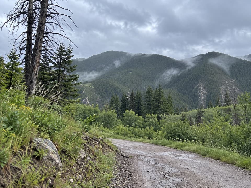
Beartooth Highway, MT · WY
A meadow approach turns into a long climb through pines.
Overview
Map & elevation
Plan your hike

The highest, rockiest slopes around here are a summer buffet for grizzly bears.
Beartooth Highway Tour Guide
Parkwolf is a GPS audio tour guide for Beartooth Highway. As you drive, it chimes in with what’s ahead: hidden gems, upcoming stops, history, geology, and wildlife, right through your car’s speakers.
See the Beartooth Highway audio tourRecorded for this area
Alice Greenough Takes the Show on the Road“Alice Greenough grew up working on her family's ranch near Red Lodge. In nineteen twenty-nine, she and her sister Margie answered an advertisement for women bronc riders and joined the rodeo circuit.”
Plays on the road 1.9 mi from the trailhead in the Parkwolf Beartooth Highway Tour Guide.
More stories near here in the app
“Fantastic app with many points of information… It’s great to just turn on while you’re driving and it gives you an audio tour of the national Park. We love it!!!!”


Trail guide
Nichols Creek Trail is a 4.3-mile point-to-point walk from the West Fork Road access to the Red Lodge Mountain ski-area end. Allow about 3 to 4 hours one way for the climb. From the lower end the route rises roughly 1,300 feet, with a few short dips. It is a long forest walk rather than a summit hike; the reward is the changing creek drainage and a longer stretch of pine woods.
The lower section starts on two-track through a cupped meadow. After a creek crossing, the woods close around the trail. Spring visitors have reported pasque flowers and bluebells in the meadow. Higher up, the tread changes to dirt singletrack and packed-rock switchbacks. Two large water bars are near the West Fork end, and some turns are tight.
This is a multi-use route that mountain bikers commonly ride downhill. Stay alert for riders, especially around tight turns with limited sight lines. The trail is a steady climb for hikers in this direction, not a dedicated walking-only path.
The complete mapped line is 4.3 miles one way; retracing it makes about 8.6 miles round trip. Hiking descriptions also give a shorter 3.8-mile out-and-back and an approximately 8-mile round trip to the ski-area end. The shorter distance cannot cover the full line, and its turnaround point is unclear. For a one-car trip, arrange a shuttle or return from the ski-area end by Ski Run Road.
Wildlife
 42 sightingsGrizzly BearMost seen around 7 AMSighting map
 22 sightingsGray WolfMost seen around 6 AMSighting map
 49 sightingsBisonMost seen around 6 AMSighting map
 122 sightingsMooseMost seen around 6 AMSighting map
 260 sightingsMountain GoatMost seen around 7 AMSighting map
 16 sightingsBighorn SheepMost seen around 7 PMSighting map
Sighting maps show where each species has been reported across Beartooth Highway. Wildlife moves, so no sighting is guaranteed.
Keep exploring
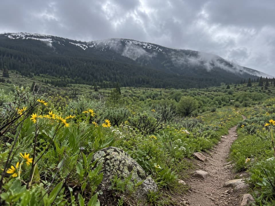 ModeratePalisades Trail #1097 mi · 4 hr · 1.1 mi awayA 7-mile out-and-back with a Fox Road turnaround
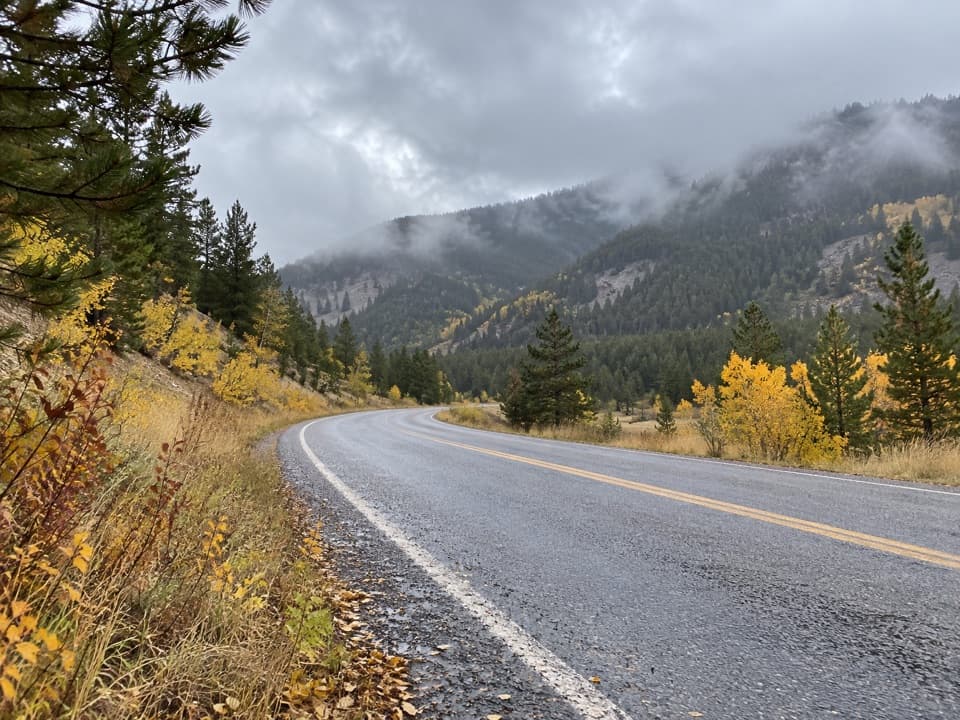 ModerateSilver Run Trail #102 (Full Loop)5 mi · 2.3 hr · 1.4 mi awayA five-mile multiuse loop beside West Fork Rock Creek.
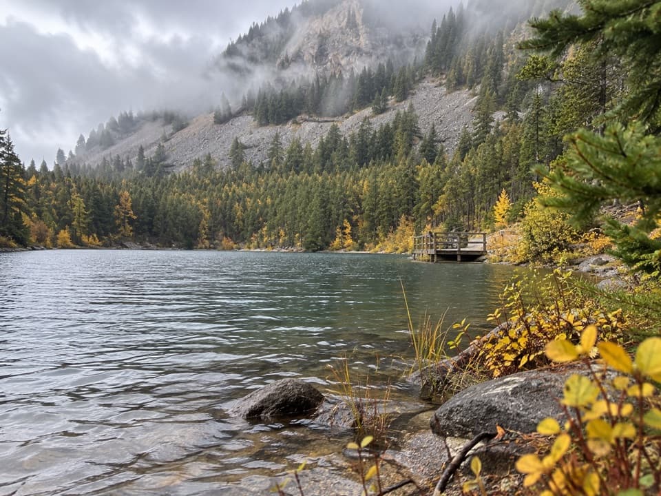 EasyWild Bill Lake Trail #620.4 mi · 24 min · 2.7 mi awayA short lake loop with two accessible fishing docks.
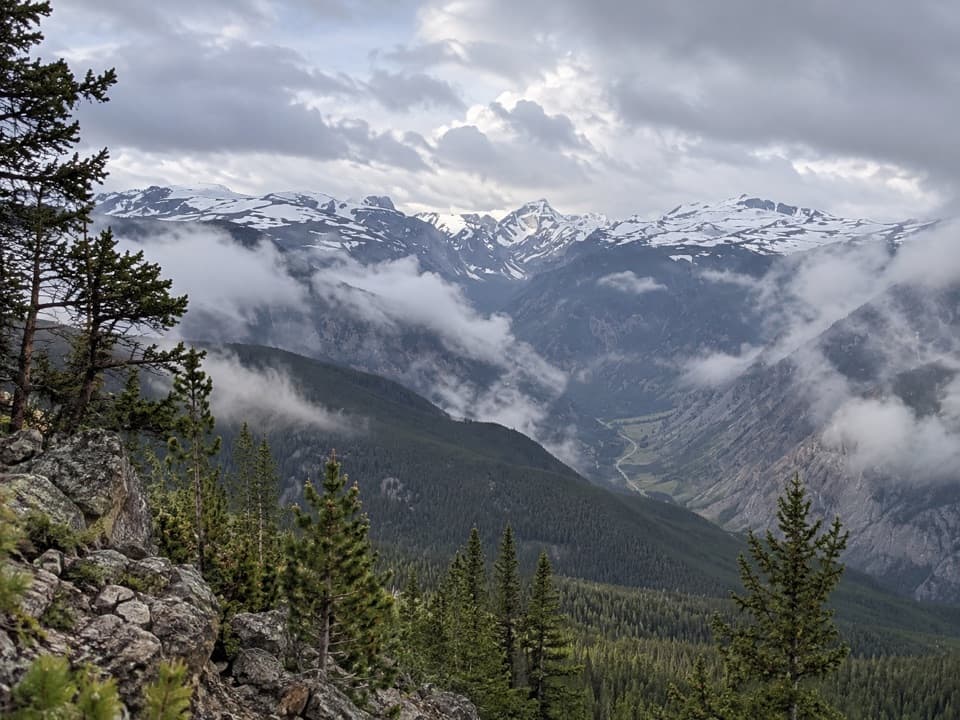 ChallengingMount Maurice Trail14 mi · 8.5 hr · 2.9 mi awayThe climb keeps going beyond Line Creek Plateau.
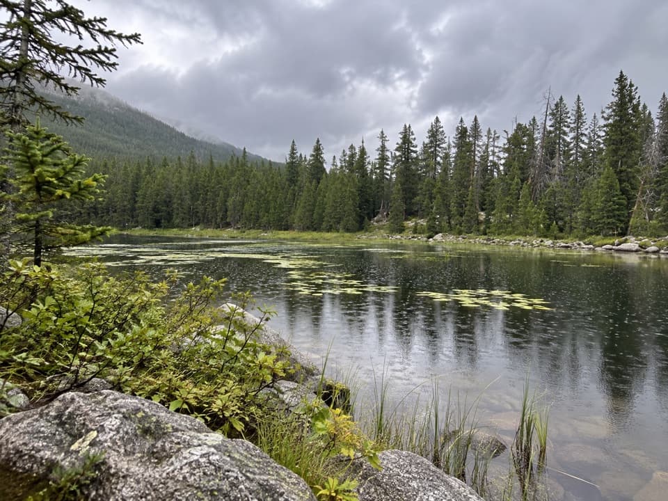 ChallengingBasin Lakes Trail8 mi · 5 hr · 3.7 mi awayTwo lakes and a waterfall reward a steady forest climb.
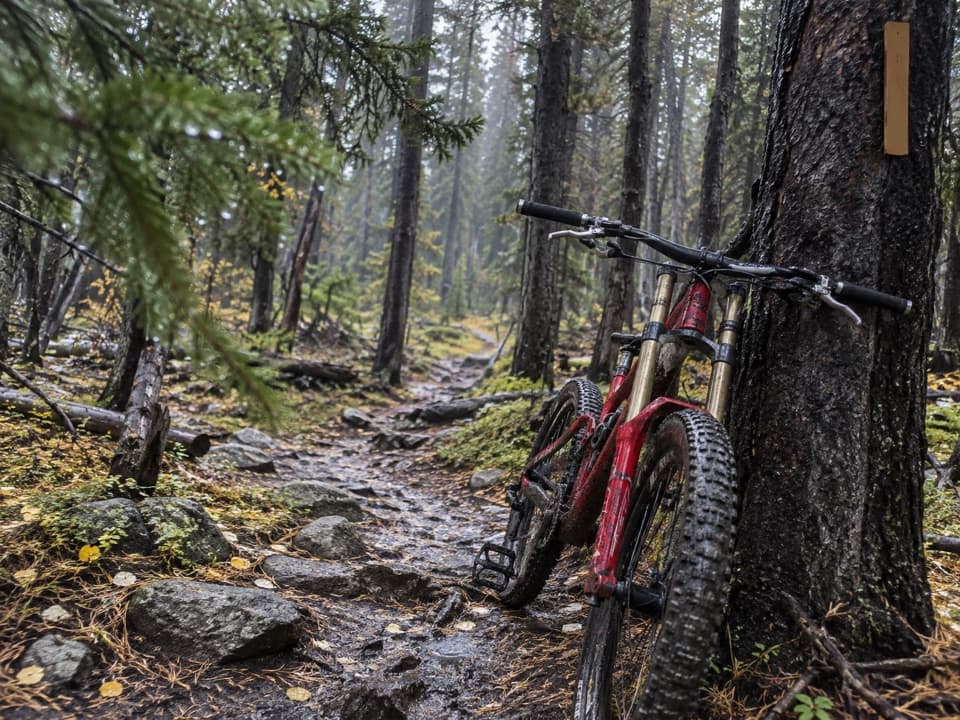 ChallengingIngles Creek Trail #352.5 mi · 2 hr · 3.7 mi awayA steep 2.5-mile descent links two Silver Run trail branches.
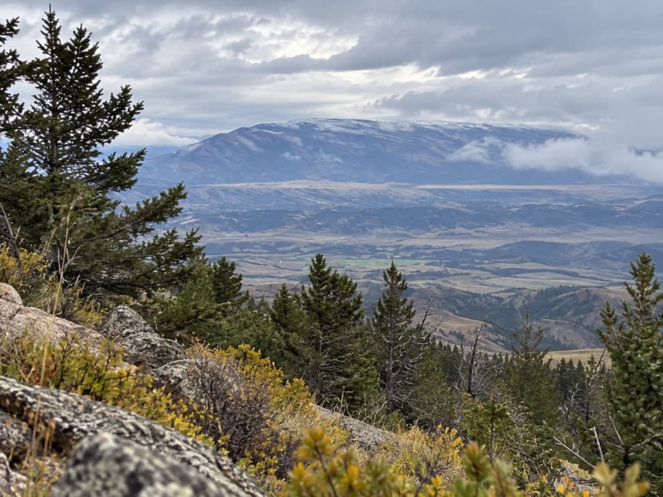 ChallengingFace-of-the-Mountain Trail #715 mi · 10 hr · 4 mi awayOld highway grade gives way to a remote Line Creek Plateau traverse.
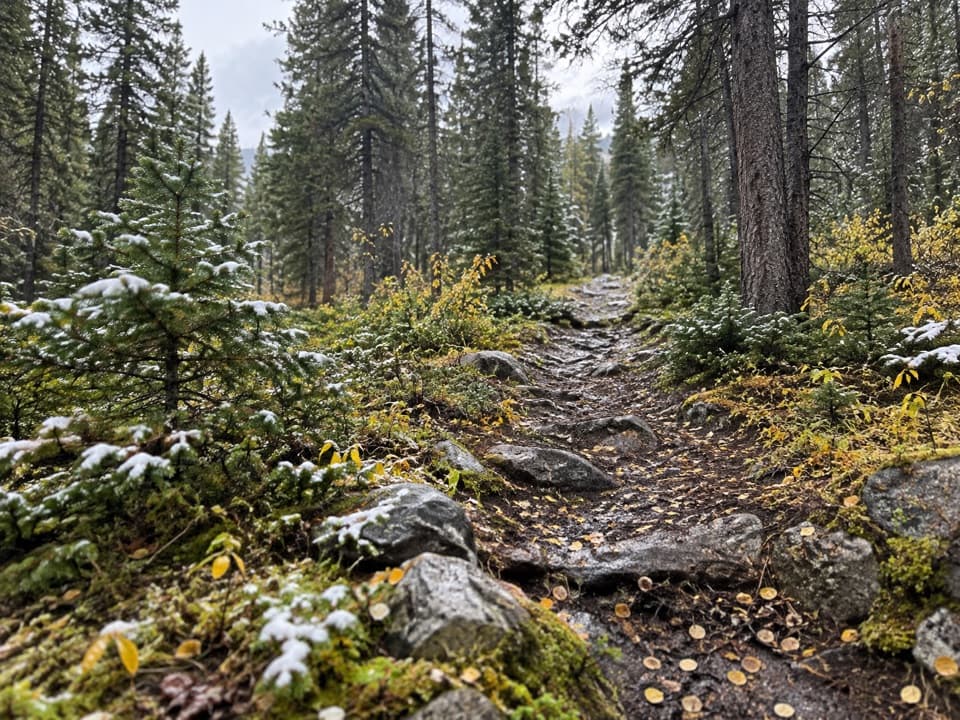 ChallengingCorral Creek Trail #94.1 mi · 4.3 hr · 4.8 mi awayA steep climb reaches the headwaters and a five-foot cairn.
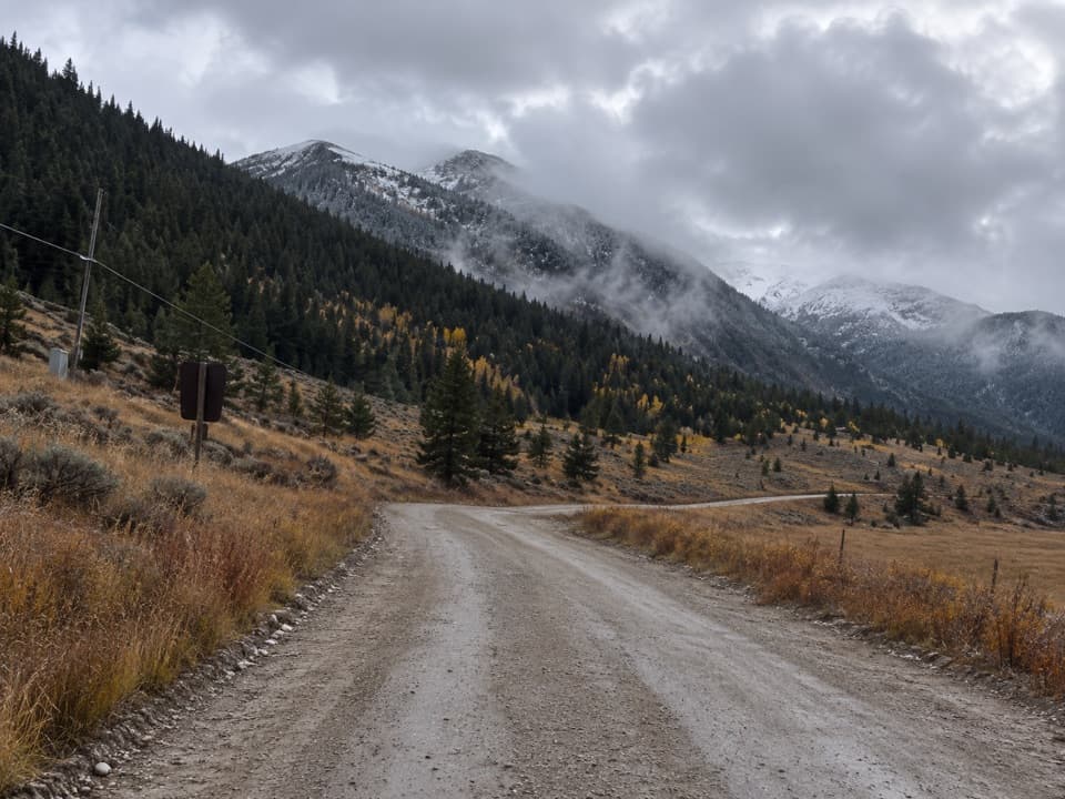 Campground · 3.9 mi awaySheridan CampgroundNine creekside sites make a quiet base for fishing and hiking.
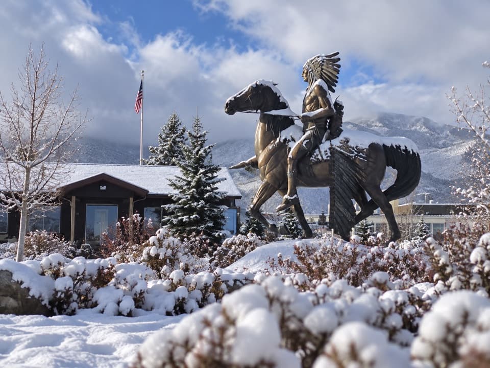 Visitor center · 4.2 mi awayRed Lodge Visitors CenterA practical first stop for maps, Yellowstone info, and road updates.
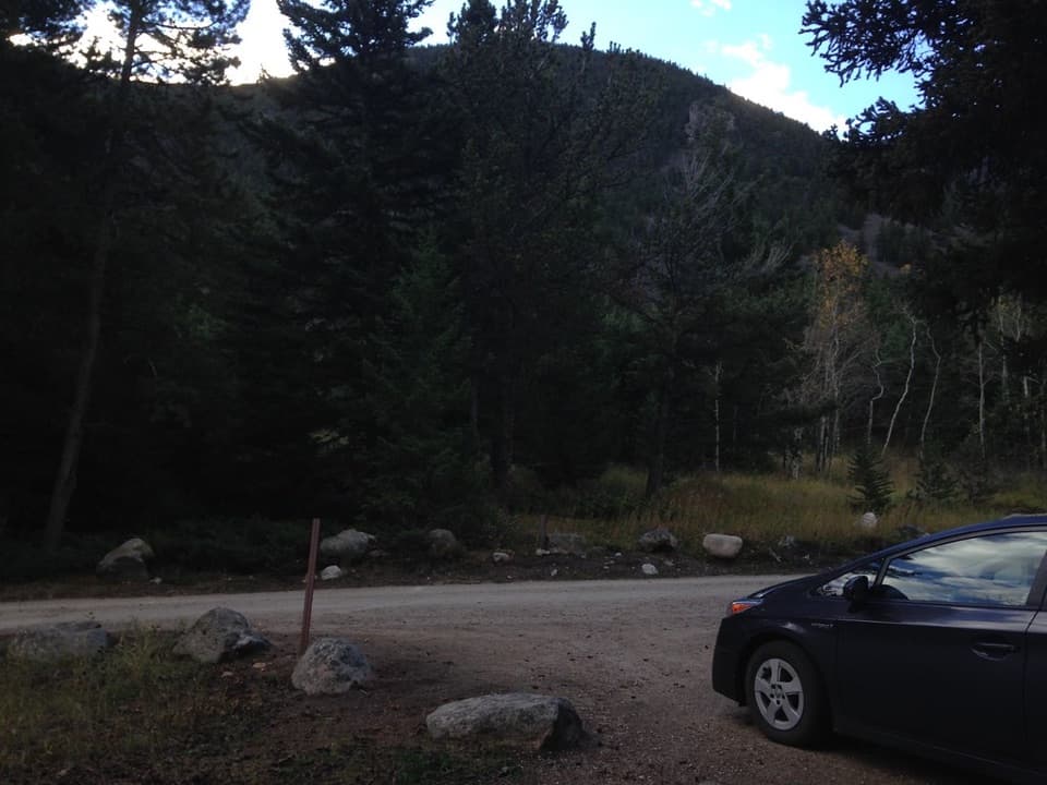 Campground · 4.7 mi awayRattin CampgroundSeven wooded, creekside sites make a practical overnight near Red Lodge.
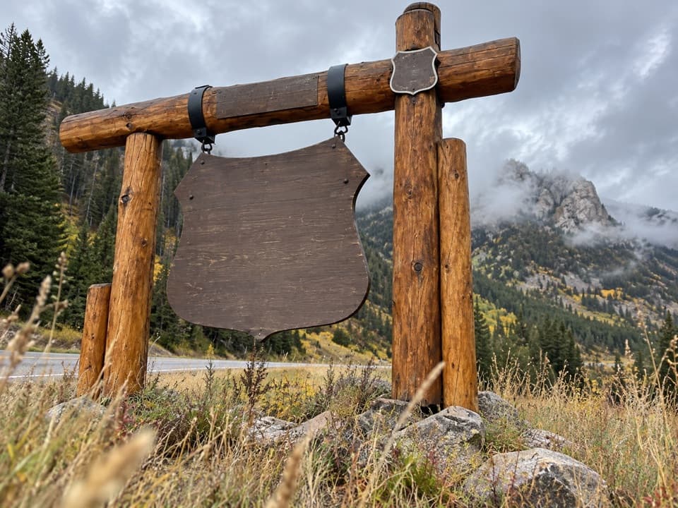 Sight · 4.8 mi awayBeartooth Highway Welcome SignA quick welcome photo before the high-country drive.
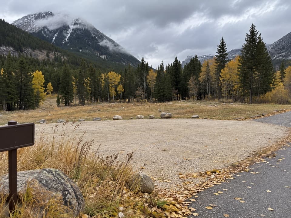 Campground · 7.9 mi awayParkside CampgroundCreekside camping near the foot of the Beartooth switchbacks.
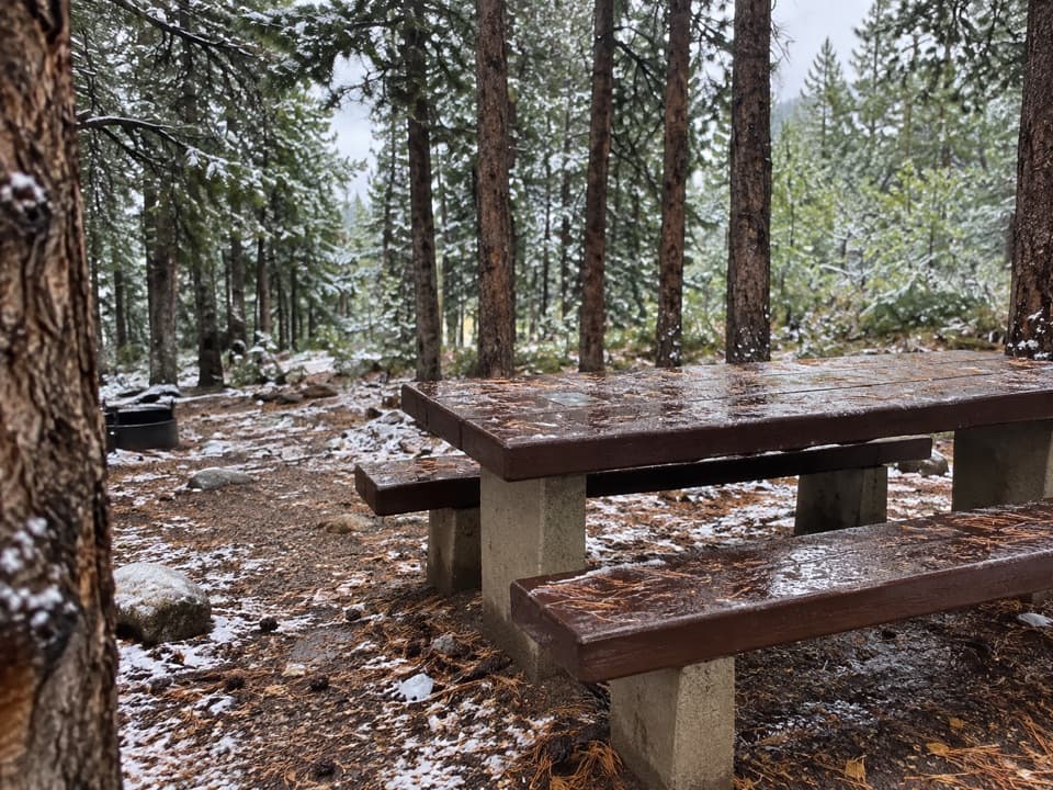 Campground · 8.2 mi awayLimber Pine CampgroundA quiet creekside base below the Beartooth switchbacks.
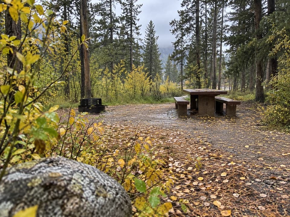 Campground · 8.4 mi awayGreenough Lake CampgroundCreekside camping, with Greenough Lake a short walk away.
 Sight · 9 mi awayRock Creek Vista PointA short paved path opens onto a huge glacial valley.
Parkwolf’s Beartooth Highway ranking

The audio tour guide for the drive, plus offline maps, trails, and wildlife heatmaps for when the signal drops.




