Palisades Trail #109 in Beartooth Highway

Beartooth Highway, MT · WY

Palisades Trail #109

A 7-mile out-and-back with a Fox Road turnaround

Length
7mi
Time
4hr
Elev. change
833ft
Difficulty
Moderate
  • No dogs
  • High point 6,703 ft
Parkwolf audio tour62 stories across Beartooth Highway’s roads

Overview

About Palisades Trail #109

Why go

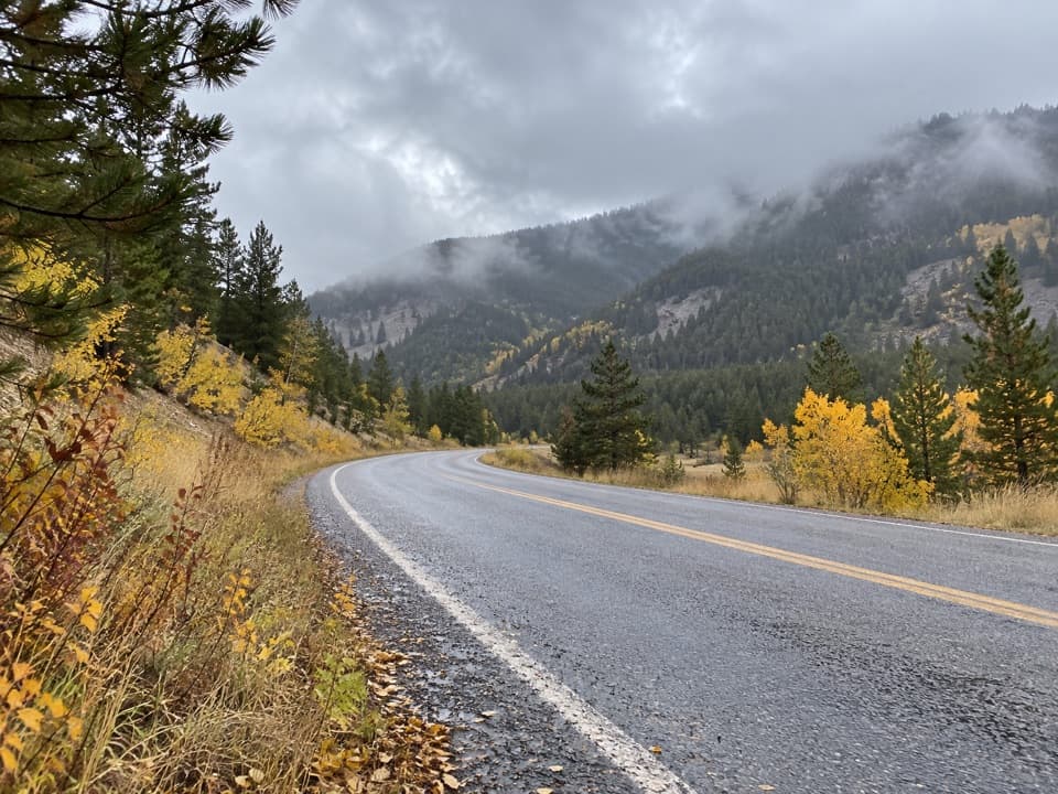
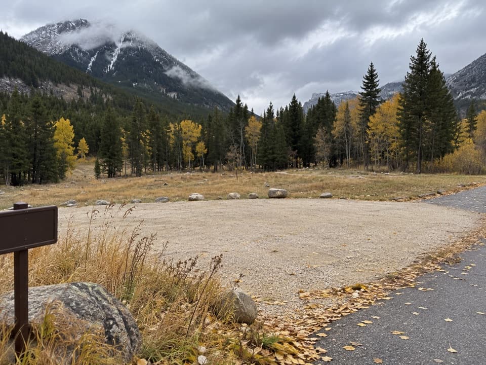
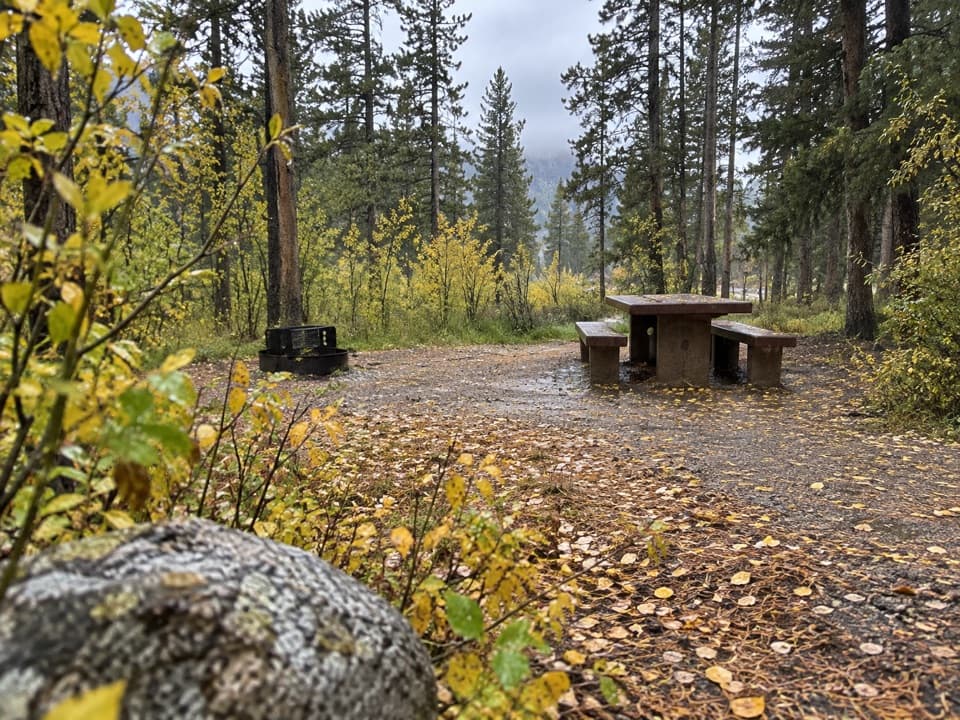
  • Aspen color is a distinctive autumn draw.
  • A second Forest Service-described entrance gives a possible through-hike endpoint.

Heads up

  • Without a confirmed Fox Road pickup, returning to the campground makes this about a 7-mile walk.
  • Vehicle access to the campground is seasonal.

Map & elevation

The route

Loading the Beartooth Highway map
Full map
Elevation5,869–6,703 ft
TrailheadPalisades Campground western loop trailhead45.17168, -109.31185
Keep this map with you offline in the Parkwolf app

Plan your hike

Before you go

Parking

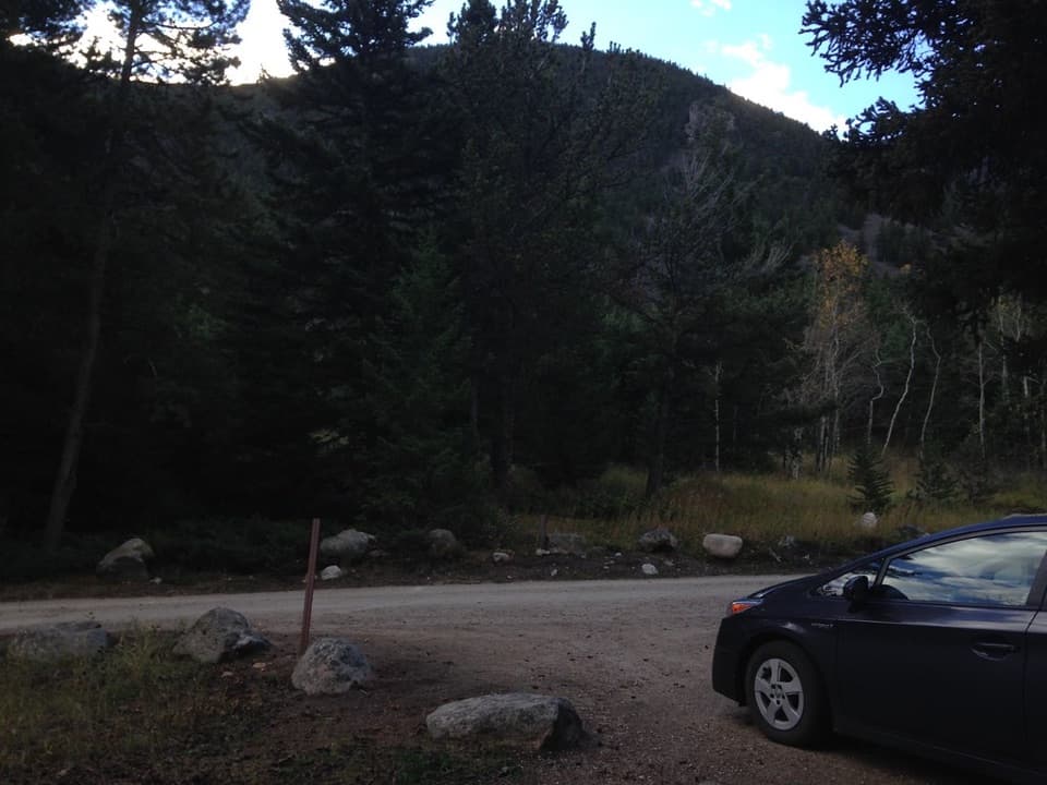
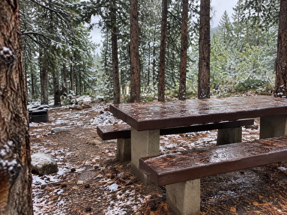
Use the far end of Palisades Campground's western loop; turn left after the bridge, follow Willow Creek Trail about 200 feet, then turn right onto Palisades. The campground is gated to vehicles outside Memorial Day–Labor Day. The Forest Service also describes a Fox Road entrance, but visitor parking there was not verified.

Best time to go

The Forest Service notes that the changing aspens make fall especially attractive. Dogs are prohibited from December 1 through July 1, except dogs used for legal hunting, because this is wintering moose habitat. Follow the seasonal restriction; the trail lies in wintering moose habitat.

Safety

Dogs are prohibited December 1–July 1 except dogs used for legal hunting, because the route crosses wintering moose habitat. The campground approach is gated to vehicles outside Memorial Day–Labor Day.

1 active Beartooth Highway alert

  • ClosureBeartooth Highway seasonal closure and falling-rock advisoryBeartooth Highway (US-212) is closed for the season between Cooke City and Red Lodge; do not plan to travel the highway as a through route.Official details
Beartooth Highway alerts
A park ranger sits on a dash-mounted phone, talking, as Parkwolf’s Tour Guide plays “Army Cutworm Moths: A Grizzly Bear Buffet” on Grand Loop Road below Dunraven Pass in Yellowstone
Parkwolf Tour GuideThe highest, rockiest slopes around here are a summer buffet for grizzly bears.

Beartooth Highway Tour Guide

Your drive to Palisades Trail #109, narrated.

Parkwolf is a GPS audio tour guide for Beartooth Highway. As you drive, it chimes in with what’s ahead: hidden gems, upcoming stops, history, geology, and wildlife, right through your car’s speakers.

See the Beartooth Highway audio tour

More stories near here in the app

  • A Grouse's Drumroll
  • Alice Greenough Takes the Show on the Road
  • West Fork Road: Calamity and Sentinel Falls
  • Trees Pruned by Winter
  • 62 audio storiesacross Beartooth Highway’s roads, triggered by GPS as you drive
  • Wildlife heatmapsfor Grizzly Bear, Gray Wolf, Bison, and 13 more
  • Works offlinemaps, 82 trails, 36 places, and audio download before you lose signal
  • CarPlay readysimple controls built for the drive
★★★★★
“Fantastic app with many points of information… It’s great to just turn on while you’re driving and it gives you an audio tour of the national Park. We love it!!!!”
JMJamesApp Store review
Download Parkwolf on the App StoreGet Parkwolf on Google Play

4.7 from 8,600+ ratings

Trail guide

Hiking Palisades Trail #109

A seven-mile out-and-backPalisades Trail 109 is an about 7-mile out-and-back from the western loop of Palisades…

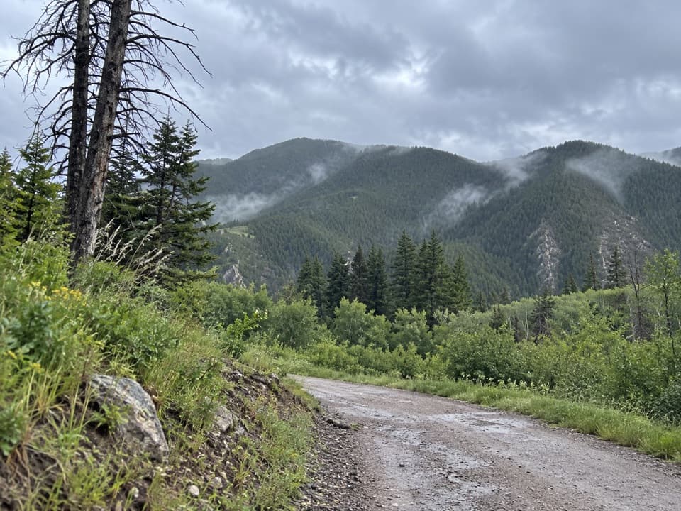
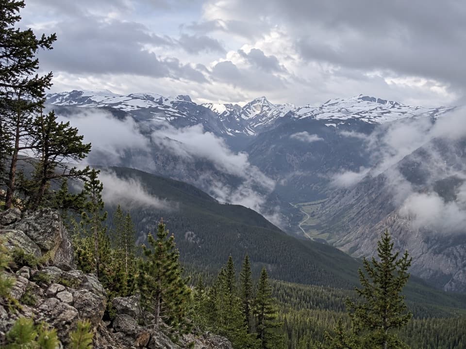
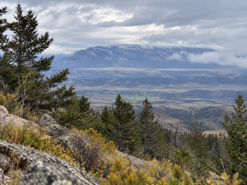
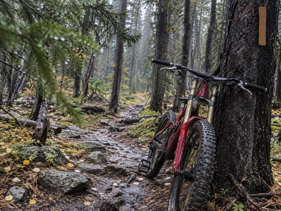
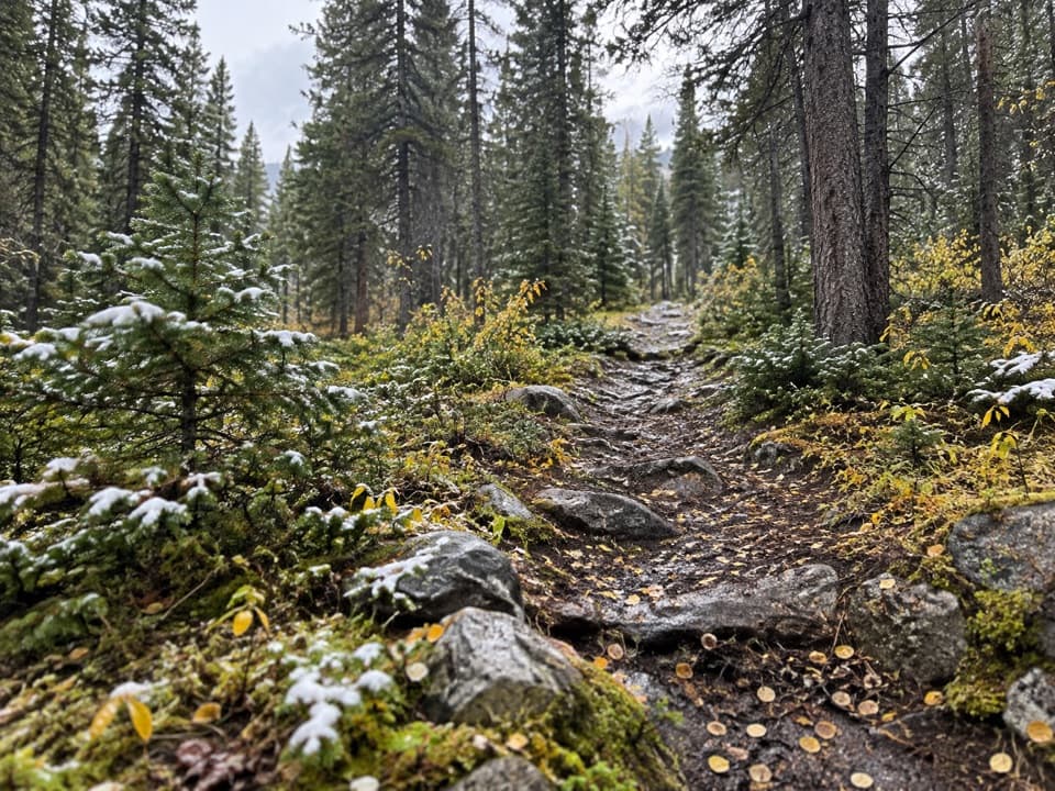
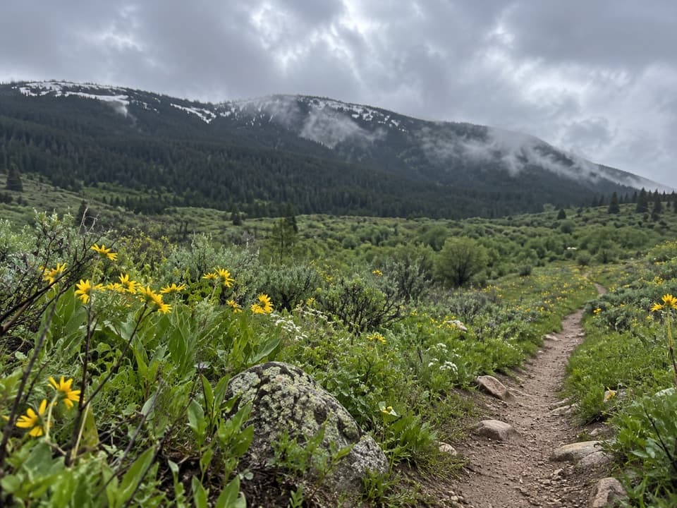
Palisades Trail #109 is an about 7-mile out-and-back from the western loop of Palisades Campground to the Fox Road entrance and back. The published 3.5-mile figure describes the one-way tread; the mapped line is about 3.6 miles each way. From the campground, follow Willow Creek Trail for roughly 200 feet, then turn right onto Palisades. Allow about four hours for the full walk. Hikers, mountain bikers and horseback riders share the unpaved trail.

Access and turnaroundAt Palisades Campground, go to the far end of the western loop and turn left after the bridge.

At Palisades Campground, go to the far end of the western loop and turn left after the bridge. Follow Willow Creek Trail to the right-hand Palisades turnoff. The route continues to the Fox Road entrance; no visitor parking there could be verified, so plan to retrace the trail unless you have a confirmed pickup. The terrain rises early, then trends downhill toward Fox Road, making the return leg a climb toward the campground. The campground is gated to vehicles and camping outside Memorial Day–Labor Day, so car access at this end is seasonal.

Wildlife

Wildlife in Beartooth Highway

All Beartooth Highway wildlife maps

Sighting maps show where each species has been reported across Beartooth Highway. Wildlife moves, so no sighting is guaranteed.

Keep exploring

Near Palisades Trail #109

See it all on the map

Trails that start nearby

Places near the trailhead

Parkwolf’s Beartooth Highway ranking

Top-rated trails in Beartooth Highway

All 82 trails
  1. 1Glacier Lake TrailChallenging · 4.4 mi
  2. 2Beartooth Lakes LoopModerate · 7.8 mi
  3. 3Becker and Albino Lakes TrailModerate · 12.2 mi
  4. 4Beartooth Loop National Recreation TrailChallenging · 10.9 mi
  5. 5The Beaten PathChallenging · 26 mi
  6. 6Gardner Lake TrailModerate · 1.6 mi

Take Parkwolf to Beartooth Highway.

The audio tour guide for the drive, plus offline maps, trails, and wildlife heatmaps for when the signal drops.

4.7 from 8,600+ ratings

Download Parkwolf on the App StoreGet Parkwolf on Google Play