Parking
From US 212, turn onto West Fork Road, stay left at the fork, and follow it about 8.3 miles to the Timberline trailhead on the left. There is ample parking, limited room for horse trailers, and a vault toilet.
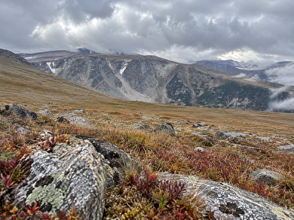
Beartooth Highway, MT · WY
An 11.8-mile climb from Timberline Trailhead to alpine tundra.
Overview
Map & elevation
Plan your hike

The highest, rockiest slopes around here are a summer buffet for grizzly bears.
Beartooth Highway Tour Guide
Parkwolf is a GPS audio tour guide for Beartooth Highway. As you drive, it chimes in with what’s ahead: hidden gems, upcoming stops, history, geology, and wildlife, right through your car’s speakers.
See the Beartooth Highway audio tour“Fantastic app with many points of information… It’s great to just turn on while you’re driving and it gives you an audio tour of the national Park. We love it!!!!”


Trail guide
Silver Run Plateau Trail via Timberline is an 11.8-mile out-and-back from Timberline Trailhead to the plateau high point. Follow Timberline Trail #12 for about 2.8 miles, turn left onto Bear Track Trail #8, then continue to roughly 10,600 feet. Return the same way. The route gains about 3,000 feet and makes a full day at high elevation. This western approach is distinct from the direct Trail #64 access that starts from Forest Road 2476.
The first stretch climbs the south side of the West Fork valley on moderate to moderately steep grades. Two long switchbacks cross the area burned in the 2008 Cascade Fire, where young evergreens and fireweed grow among standing snags. Around 1.2 miles the grade eases as the trail curves into Timberline Creek Valley. Peaks and the plateau appear in openings between the snags. At about 2.8 miles, take Bear Track #8; Timberline #12 continues toward Gertrude and Timberline Lakes.
Bear Track climbs through spruce-fir forest and crosses the Silver Run Lakes outlet stream around mile 3.5. During early-season runoff, this crossing can require a wade. The route enters the Absaroka-Beartooth Wilderness near mile 3.6, then bends through trees and meadows beneath the plateau's rocky slopes. Views open west across marshy meadows to Silver Run Lakes and the cirque cliffs. Around mile 4.5, steeper switchbacks climb the rocky slope, with broader views back over the basin and the fire-scarred valley.
The grade eases around mile 5.3 as the trail reaches open alpine tundra. Tread becomes faint across the plateau; large cairns mark the way to the high point near mile 5.7. On a clear day the open ground looks toward Silver Run Peak and the high Beartooth summits. This is the turnaround for the 11.8-mile hike. The plateau has no cover or water, and storms, fog, or sudden weather changes make the exposed crossing a poor place to linger.
From US 212, turn onto West Fork Road, stay left at the fork, and continue about 8.3 miles to the Timberline trailhead on the left. It has ample parking, limited room for horse trailers, and a vault toilet. Budget about eight hours for the distance, climbing, and stops; the open high point and stream crossing make weather timing part of the plan. Carry certified bear spray where you can reach it quickly, and keep pets under control. Bear Track continues beyond the plateau to a different highway trailhead; completing that point-to-point route requires a shuttle.
Wildlife
 42 sightingsGrizzly BearMost seen around 7 AMSighting map
 22 sightingsGray WolfMost seen around 6 AMSighting map
 49 sightingsBisonMost seen around 6 AMSighting map
 122 sightingsMooseMost seen around 6 AMSighting map
 260 sightingsMountain GoatMost seen around 7 AMSighting map
 16 sightingsBighorn SheepMost seen around 7 PMSighting map
Sighting maps show where each species has been reported across Beartooth Highway. Wildlife moves, so no sighting is guaranteed.
Keep exploring
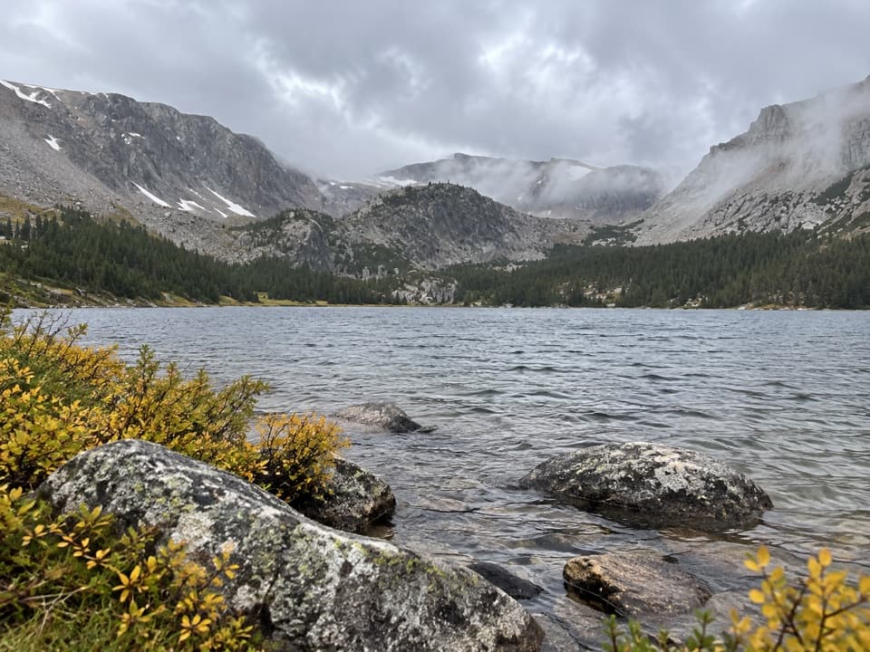 ChallengingTimberline Lake Trail9 mi · 5 hr · At the trailheadTwo lakes below Silver Run Peak reward a long, steep climb.
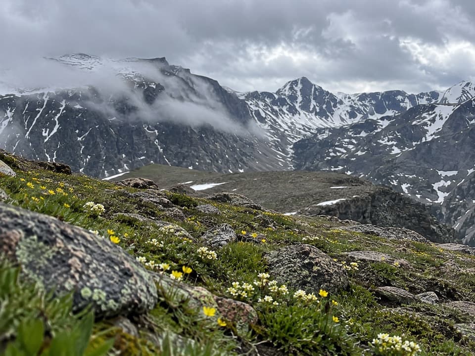 ChallengingEast Rosebud–Camp Senia Trail14.1 mi · 9.5 hr · 1.5 mi awayA hard alpine crossing links West Fork with East Rosebud Campground.
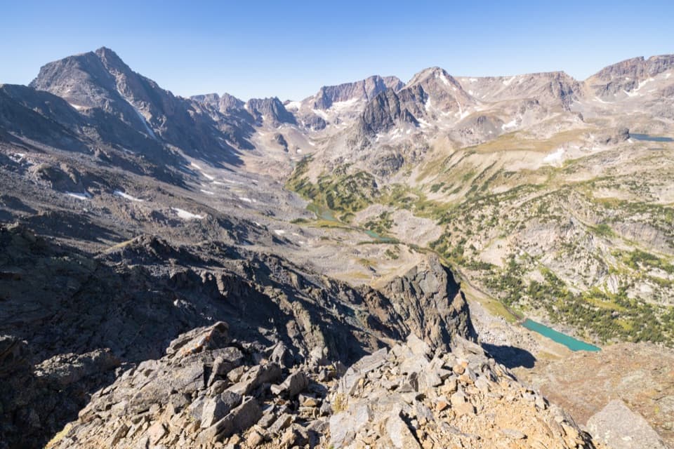 ChallengingWest Fork Trail #122 mi · 13 hr · 1.6 mi awayWaterfalls and alpine lakes lead to an 11,045-foot pass.
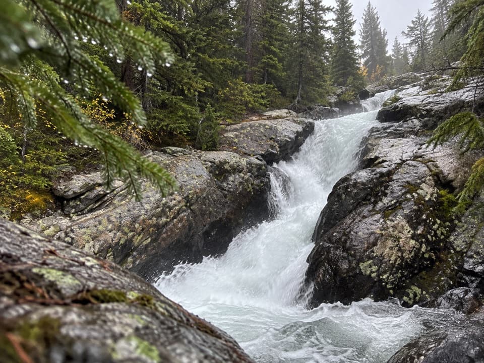 EasyCalamity and Sentinel Falls Trail4.5 mi · 2.5 hr · 1.6 mi awayTwo waterfalls, a creekside walk, and a long open stretch early.
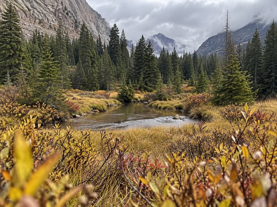 ModerateQuinnebaugh Meadows Trail9 mi · 5.5 hr · 1.6 mi awayWaterfalls break up the long walk to a flower-filled meadow.
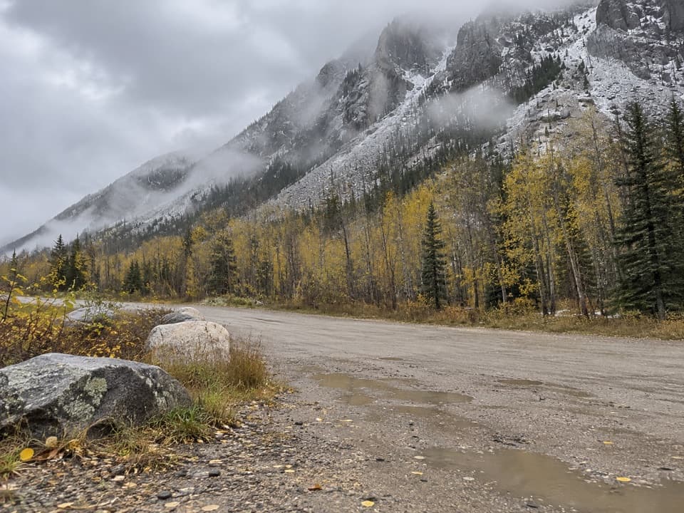 ChallengingCamp Senia Trail #167 mi · 5 hr · 1.6 mi awayA long climb to a high-country junction and wilderness connections.
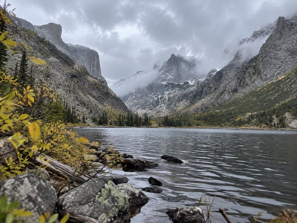 ChallengingCrow Lake via Camp Senia Trail17.2 mi · 10 hr · 1.6 mi awayA long backcountry climb to Crow Lake's granite cirque.
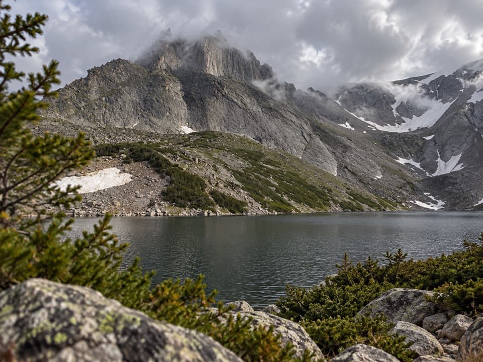 ChallengingSylvan Lake via Camp Senia Trail20.6 mi · 12 hr · 1.6 mi awayA high-country out-and-back to Sylvan Lake via Camp Senia.
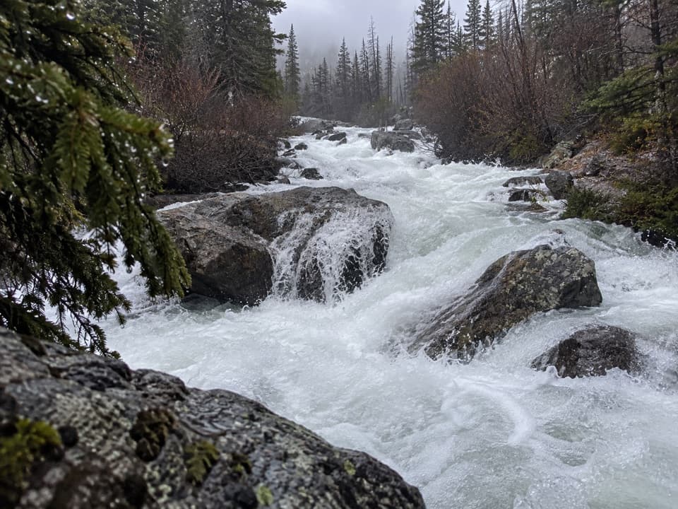 Sight · 2.8 mi awayCalamity FallsA 1.3-mile trail walk reaches falls tucked into a rocky gorge.
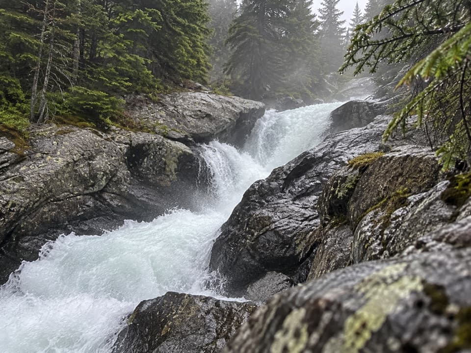 Sight · 3.3 mi awaySentinel FallsA creekside hike links Calamity Falls with Sentinel Falls.
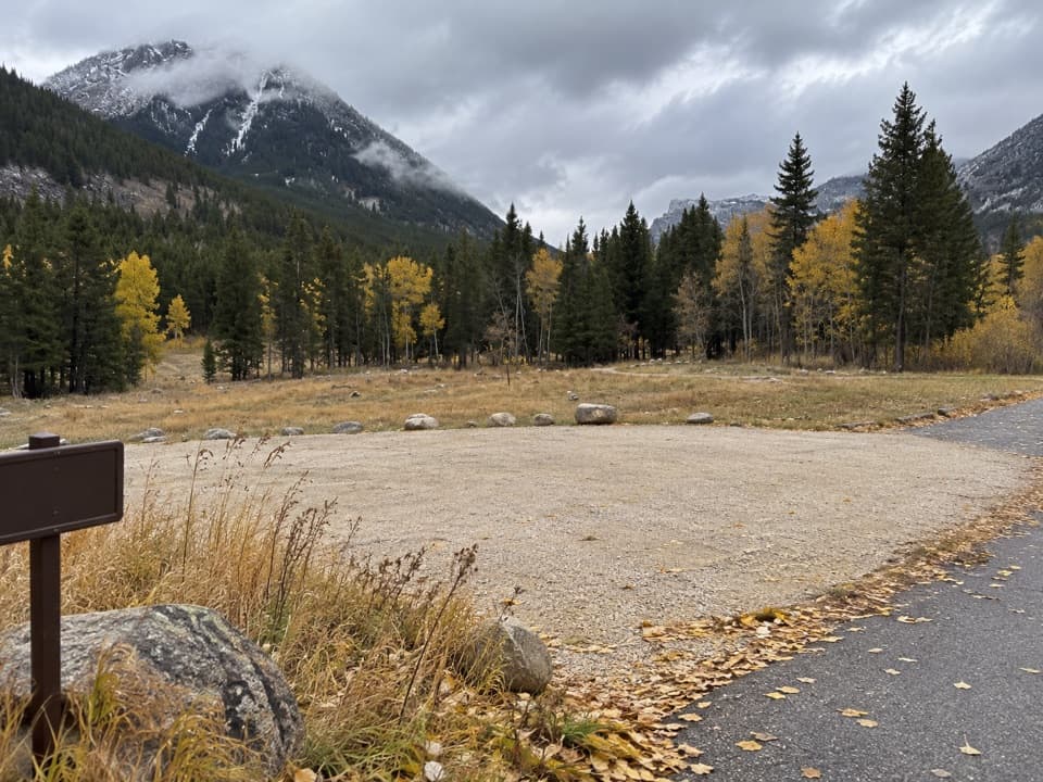 Campground · 8.2 mi awayParkside CampgroundCreekside camping near the foot of the Beartooth switchbacks.
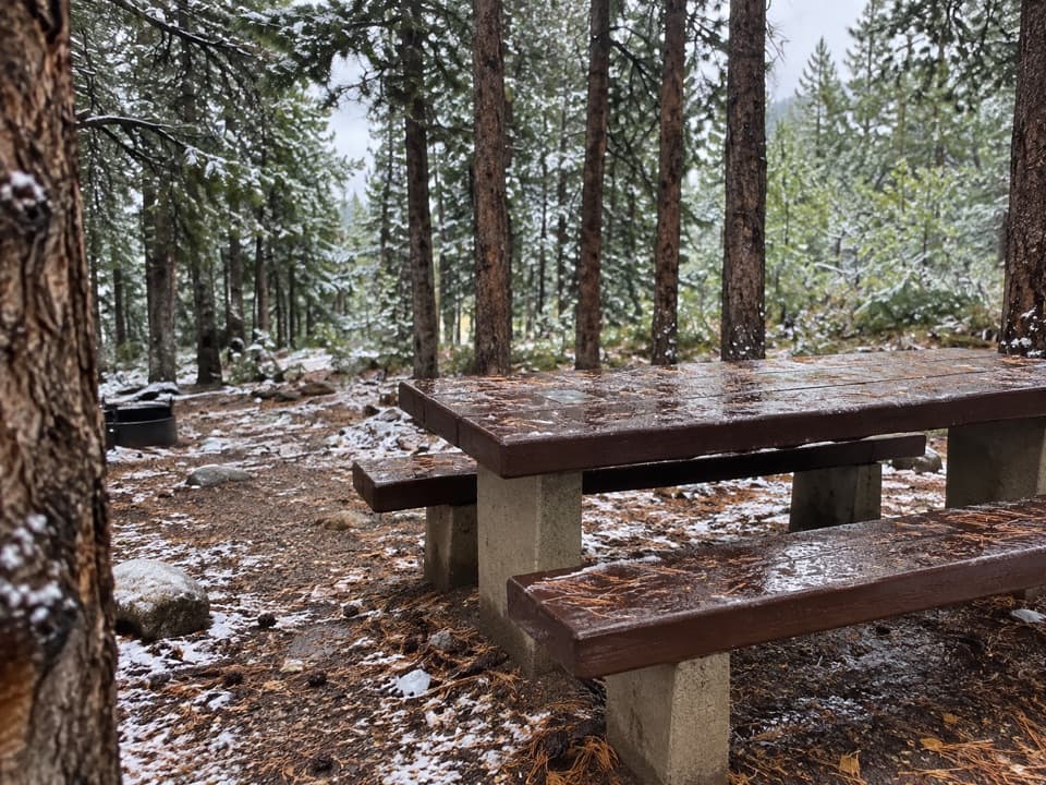 Campground · 8.2 mi awayLimber Pine CampgroundA quiet creekside base below the Beartooth switchbacks.
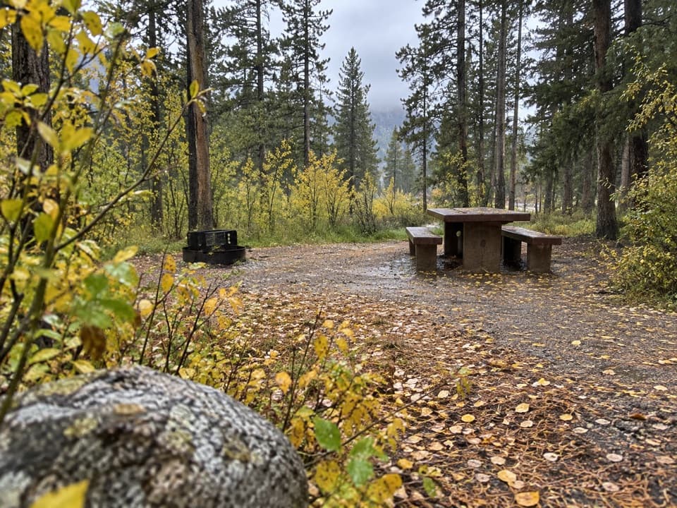 Campground · 8.4 mi awayGreenough Lake CampgroundCreekside camping, with Greenough Lake a short walk away.
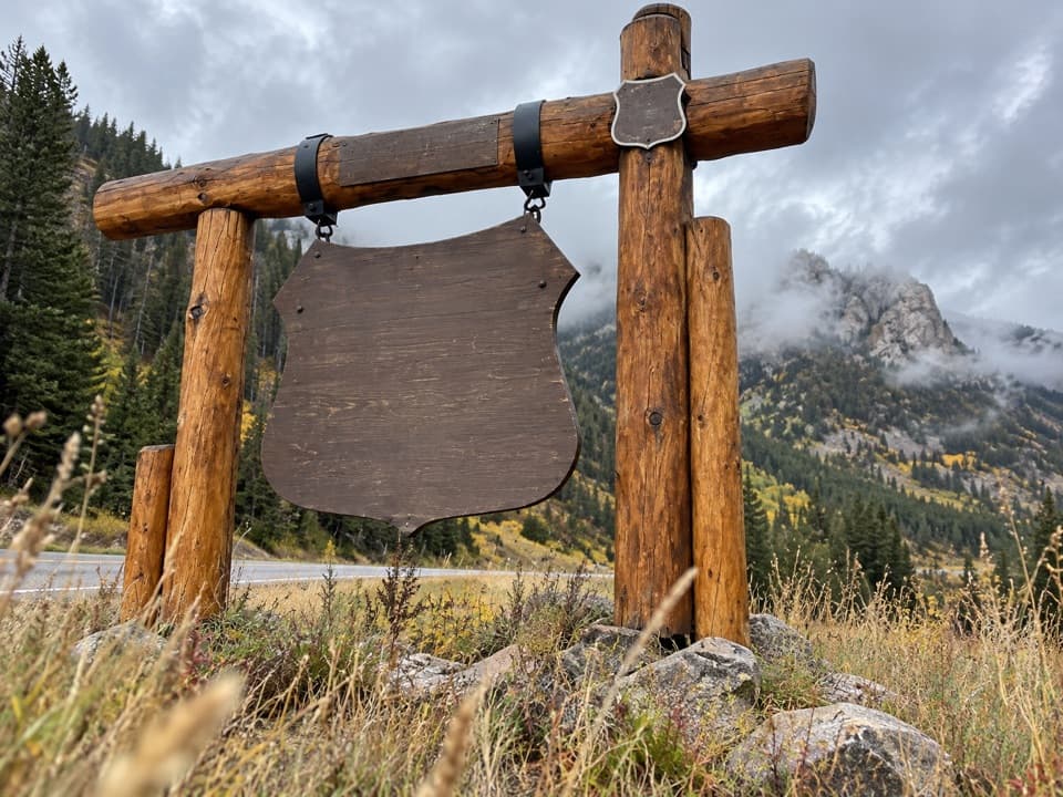 Sight · 8.8 mi awayBeartooth Highway Welcome SignA quick welcome photo before the high-country drive.
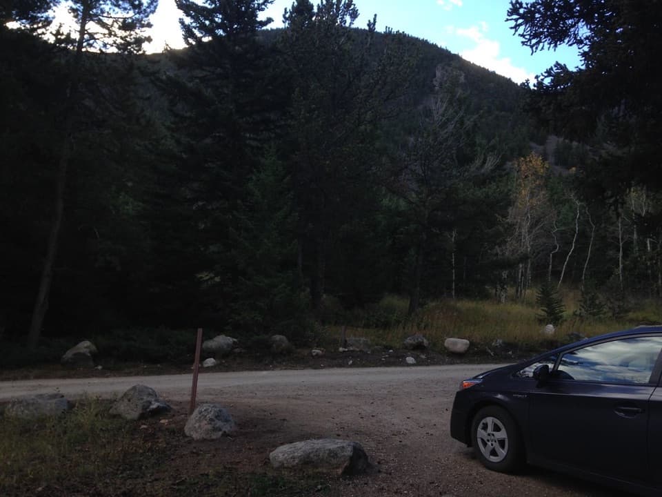 Campground · 8.9 mi awayRattin CampgroundSeven wooded, creekside sites make a practical overnight near Red Lodge.
 Campground · 9.1 mi awaySheridan CampgroundNine creekside sites make a quiet base for fishing and hiking.
Parkwolf’s Beartooth Highway ranking

The audio tour guide for the drive, plus offline maps, trails, and wildlife heatmaps for when the signal drops.




