Prinzregent-Luitpold-Weg in Berchtesgaden National Park

Berchtesgaden National Park, BY

Prinzregent-Luitpold-Weg

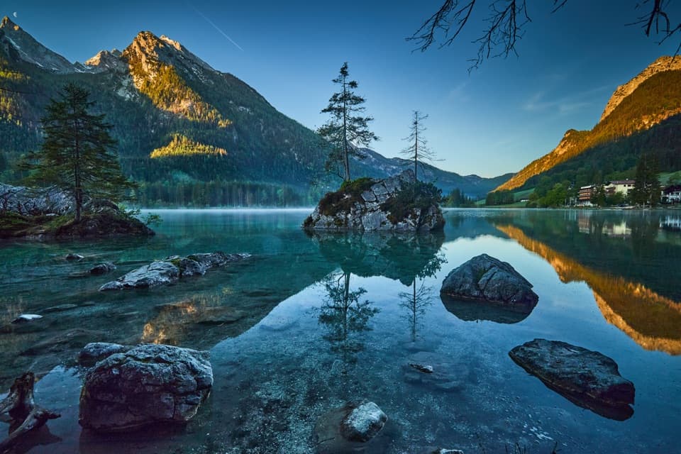
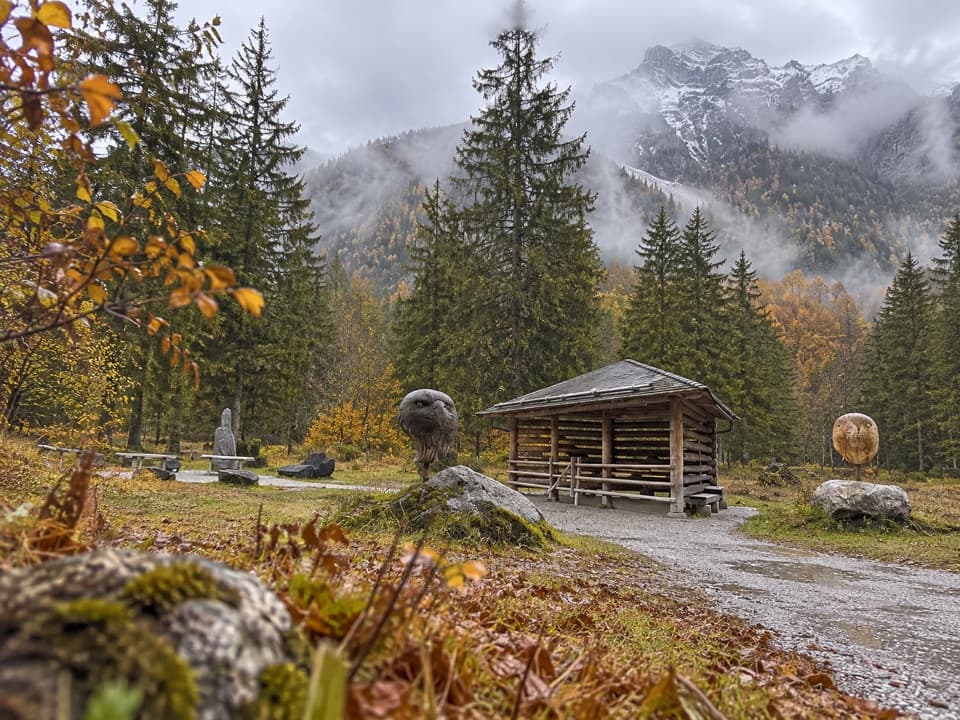
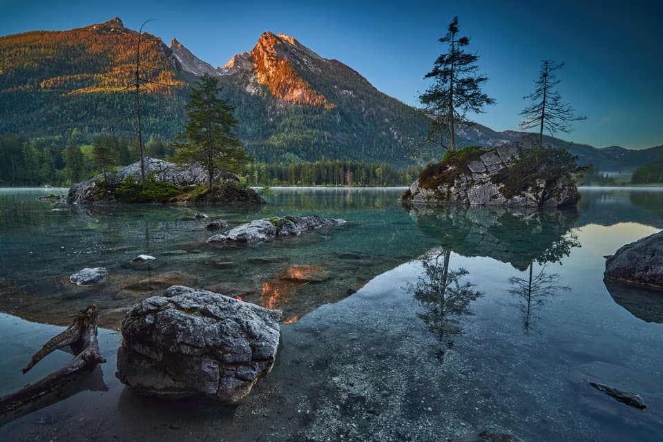
An easy lake loop with mountain reflections and painters’ easels.

Photo: Wikimedia Commons
Length
2.7km
Time
1hr
Elev. change
16m
Difficulty
Easy
  • Loop
  • Dogs allowed
  • High point 806 m
  • #21 of 71 in Berchtesgaden

Hear the audio tour

Hintersee and the Boulder Forest

Overview

About Prinzregent-Luitpold-Weg

Why go

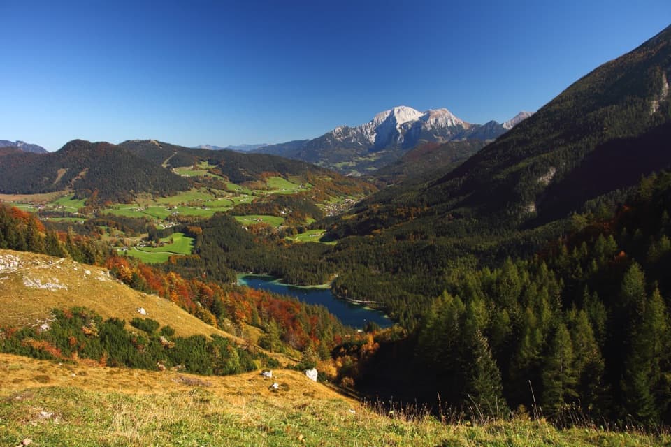
  • An almost level gravel circuit with repeated lake and mountain views.
  • The memorial, chapel and artists’ panels give the shoreline walk a distinct local story.

Heads up

  • About 500 m beside the road near the lake outlet interrupts the shore path.

Map & elevation

The route

Loading the Berchtesgaden map
Full map
Elevation790–806 m
TrailheadParkplatz Seeklause, Hintersee47.60465, 12.85861
Keep this map with you offline in the Parkwolf app

Plan your hike

Before you go

Parking

Use the Seeklause parking area on the east shore, the named start for the loop. Westufer is another official access, and the circuit can also be joined from other lakeside parking lots or bus stops. Capacity and current parking fees were not verified.


Safety

About 500 m of the route runs alongside the road near the lake outlet; take care around traffic. Dogs are allowed but must be kept on a lead in National Park sections.

3 active Berchtesgaden alerts

  • ClosureKlausbachtal trails closed for bridge and flood-protection workAvoid the closed Klausbachtal trail sections; the Klausbach cannot be crossed at the affected bridges. - Trail No.Official details
  • ClosureKönigsbach Waterfall Gumpen area closedDo not enter the area around the “Gumpen” pools at the Königsbach Waterfall on Königssee.Official details
See all 3 alerts
A park ranger sits on a dash-mounted phone, talking, as Parkwolf’s Tour Guide plays “Army Cutworm Moths: A Grizzly Bear Buffet” on Grand Loop Road below Dunraven Pass in Yellowstone
Parkwolf Tour GuideThe highest, rockiest slopes around here are a summer buffet for grizzly bears.

Berchtesgaden Tour Guide

Your drive to Prinzregent-Luitpold-Weg, narrated.

Parkwolf is a GPS audio tour guide for Berchtesgaden National Park. As you drive, it chimes in with what’s ahead: hidden gems, upcoming stops, history, geology, and wildlife, right through your car’s speakers.

Recorded for this trailhead

Hintersee and the Boulder Forest
0:00 / 0:32
“Up ahead is Hintersee, a good stop for clear water and mountain views without a big climb. The nearly flat lake circuit takes about an hour, and calm water can reflect the walls of Hochkalter and Reiteralm.”

Plays as you drive up to this trailhead in the Parkwolf Berchtesgaden Tour Guide.

More stories near here in the app

  • Seeklause: The Climb to Blaueishütte
  • White Fur, Black Ear Tips
  • Measuring the Watzmann
  • Klausbachhaus and Golden Eagle Country
  • 25 audio storiesacross Berchtesgaden’s roads, triggered by GPS as you drive
  • Wildlife heatmapsfor Bearded Vulture, Golden Eagle, Red Deer, and 13 more
  • Works offlinemaps, 71 trails, 57 places, and audio download before you lose signal
  • CarPlay readysimple controls built for the drive
★★★★★
“Fantastic app with many points of information… It’s great to just turn on while you’re driving and it gives you an audio tour of the national Park. We love it!!!!”
JMJamesApp Store review
Download Parkwolf on the App StoreGet Parkwolf on Google Play

4.7 from 8,600+ ratings

Trail guide

Hiking Prinzregent-Luitpold-Weg

A gentle circuit for lake viewsPrinzregent-Luitpold-Weg, signed trail 62, is a 2.7 km (1.

Prinzregent-Luitpold-Weg, signed trail 62, is a 2.7 km (1.68-mile) loop around Hintersee, with about 11 m of ascent and descent and a typical one-hour walk. It is a gravel path for clear shallows, wooded shore and mountain reflections, not a climb. The route is also described as suitable for wheelchairs and strollers, though the surface is gravel throughout.

One stretch leaves the shoreAt the Zauberwald edge, the loop reaches the lake outlet in rugged terrain shaped by an ancient…

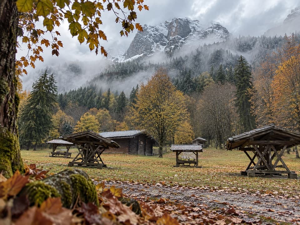
At the Zauberwald edge, the loop reaches the lake outlet in rugged terrain shaped by an ancient rockslide. From there, the route follows the road for about 500 m before turning back toward the western shore. That is the main break in an otherwise lakeside walk. On the western side, information panels and artists’ easels tell the story of painters drawn to Hintersee.

A viewpoint named for LuitpoldOn the east shore, a memorial plaque marks Prince Regent Luitpold’s favorite viewpoint.

On the east shore, a memorial plaque marks Prince Regent Luitpold’s favorite viewpoint. The circuit was dedicated to him on 12 December 2012, the centenary of his death. Pause here for the strongest composed view: keep the plaque and water in the foreground, with the surrounding peaks beyond.

A small chapel and a painters’ circuitThe small chapel on the north shore is dedicated to St. Anthony.

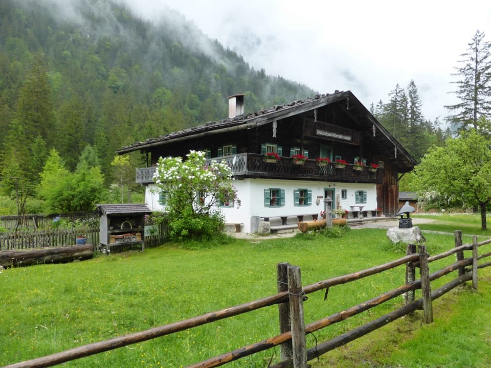
The small chapel on the north shore is dedicated to St. Anthony. Its ceiling painting dates to the 17th century and the altar painting to 1785. The west-shore panels and easels make the walk more than a lap around the water; the surrounding area is also promoted as a painters’ circuit.

Starting points, refreshments and winterThe named start is the Seeklause parking area; Westufer is another access, and the loop can be…

The named start is the Seeklause parking area; Westufer is another access, and the loop can be joined from other lakeside parking lots or bus stops. A kiosk is listed near the Zauberwald entrance and a refreshment stop on the north shore; nearby cafés and inns are separate meal stops, so check current opening times. The Annerl passenger ferry can shorten the loop, subject to its current sailing. The route is described as year-round, with snow cleared and ice treated in winter.

Wildlife

Wildlife in Berchtesgaden

All Berchtesgaden wildlife maps

Sighting maps show where each species has been reported across Berchtesgaden. Wildlife moves, so no sighting is guaranteed.

Keep exploring

Near Prinzregent-Luitpold-Weg

See it all on the map

Trails that start nearby

Places near the trailhead

Parkwolf’s Berchtesgaden ranking

Top-rated trails in Berchtesgaden

All 71 trails
  1. 1Kleine ReibnChallenging · 18.7 km
  2. 2Obersee – Fischunkelalm – RöthbachfallModerate · 8 km
  3. 3Malerwinkel-RundwegEasy · 3.4 km
  4. 4Wimbachklamm-RundwegModerate · 2.1 km
  5. 5Blaueishütte via SchärtenalmChallenging · 10.5 km
  6. 6Gotzenalm via Hochbahn TrailChallenging · 22.8 km

Take Parkwolf to Berchtesgaden.

The audio tour guide for the drive, plus offline maps, trails, and wildlife heatmaps for when the signal drops.

4.7 from 8,600+ ratings

Download Parkwolf on the App StoreGet Parkwolf on Google Play