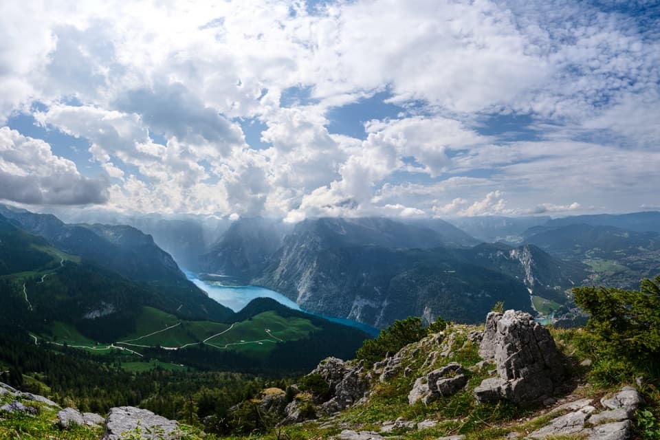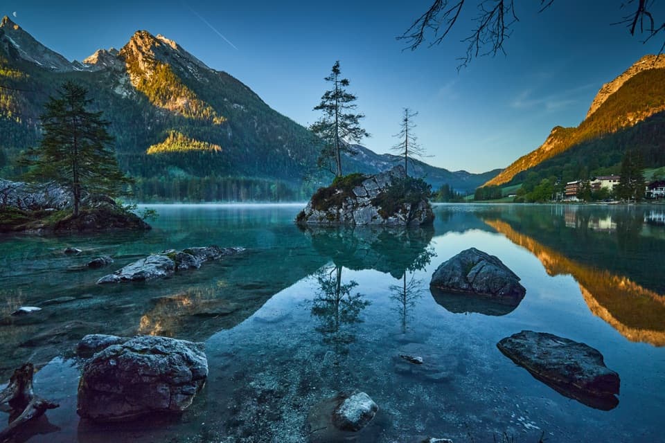
Hintersee in Berchtesgaden National Park

#6 of 23 sights in Berchtesgaden

Sight · Berchtesgaden National Park

Hintersee

A gentle lake loop under mountain walls and clear reflections.

Photo: Wikimedia Commons
Type
Sight
Nearest trail
0.4 km
Audio stories
7 nearby
  • Parking
  • Scenic viewpoint
  • Trailhead
  • Food

Hear the audio tour

Hintersee and the Boulder Forest

Overview

About Hintersee

Why stop

  • Clear water and mountain reflections make the easy circuit memorable.

Heads up

  • Parking can be difficult during busy periods.

Map

Where it is

Loading the Berchtesgaden map
Full map
SightHintersee47.60653, 12.85470
Keep this map with you offline in the Parkwolf app

Plan your stop

Before you go

2 active Berchtesgaden alerts

  • ClosureKlausbachtal trail closuresTwo Klausbachtal trail sections are closed; use the Hirschbichlstraße (St 2099) to bypass them. - Trail No.Official details
  • ClosureKönigsbach Waterfall Gumpen area closedThe wide area around the “Gumpen” pools at Königsbach Waterfall is closed to visitors to protect recovering vegetation.Official details

Berchtesgaden alerts
A park ranger sits on a dash-mounted phone, talking, as Parkwolf’s Tour Guide plays “Army Cutworm Moths: A Grizzly Bear Buffet” on Grand Loop Road below Dunraven Pass in Yellowstone
Parkwolf Tour GuideThe highest, rockiest slopes around here are a summer buffet for grizzly bears.

Berchtesgaden Tour Guide

Your drive to Hintersee, narrated.

Parkwolf is a GPS audio tour guide for Berchtesgaden National Park. As you drive, it chimes in with what’s ahead: hidden gems, upcoming stops, history, geology, and wildlife, right through your car’s speakers.

Recorded for this place

Hintersee and the Boulder Forest
0:00 / 0:32
“Up ahead is Hintersee, a good stop for clear water and mountain views without a big climb. The nearly flat lake circuit takes about an hour, and calm water can reflect the walls of Hochkalter and Reiteralm.”

Plays as you drive up to Hintersee in the Parkwolf Berchtesgaden Tour Guide.

More stories near here in the app

  • White Fur, Black Ear Tips
  • Seeklause: The Climb to Blaueishütte
  • Measuring the Watzmann
  • Klausbachhaus and Golden Eagle Country
  • 25 audio storiesacross Berchtesgaden’s roads, triggered by GPS as you drive
  • Wildlife heatmapsfor Bearded Vulture, Golden Eagle, Red Deer, and 13 more
  • Works offlinemaps, 71 trails, 57 places, and audio download before you lose signal
  • CarPlay readysimple controls built for the drive
★★★★★
“Fantastic app with many points of information… It’s great to just turn on while you’re driving and it gives you an audio tour of the national Park. We love it!!!!”
JMJamesApp Store review
Download Parkwolf on the App StoreGet Parkwolf on Google Play

4.7 from 8,600+ ratings

Guide

More about Hintersee

An easy hour by the waterHintersee is a 16-hectare mountain lake near Ramsau, below the steep walls of Reiteralm and…

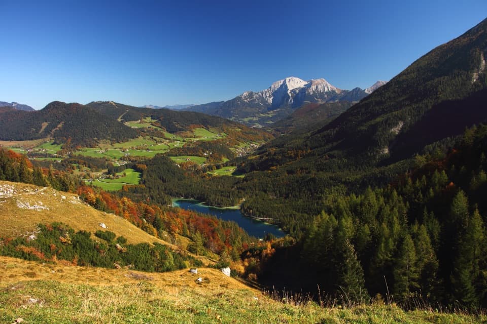
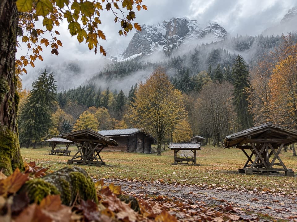
Hintersee is a 16-hectare mountain lake near Ramsau, below the steep walls of Reiteralm and Hochkalter at the entrance to Klausbachtal. It’s a strong short stop: the nearly flat circuit gives you clear water, boulder-strewn banks and mountain views, with walks into Zauberwald and the valley close by. Several parking areas serve the shore, but visitors report tougher parking at busy times; bus 846 from Berchtesgaden reaches Hintersee too.

The easiest walk is around the lakeGive the 2.7 km circuit about an hour; it gains only 11 m and is stroller-friendly.

Give the 2.7 km circuit about an hour; it gains only 11 m and is stroller-friendly. The Zauberwald loop is a different kind of outing: about 2 km, with 55 m uphill and 59 m downhill, on a steeper, uneven path through rocks and rushing water. It isn’t suitable for strollers. Combine the forest and shore for more variety, or stick to the lake if you want an easy circuit.

Boats and cafés across the waterYou can rent a rowboat or pedal boat, and the small electric passenger boat Annerl runs in…

You can rent a rowboat or pedal boat, and the small electric passenger boat Annerl runs in summer. Cafés and inns on the far shore make that side a good place to stop for a meal or a drink.

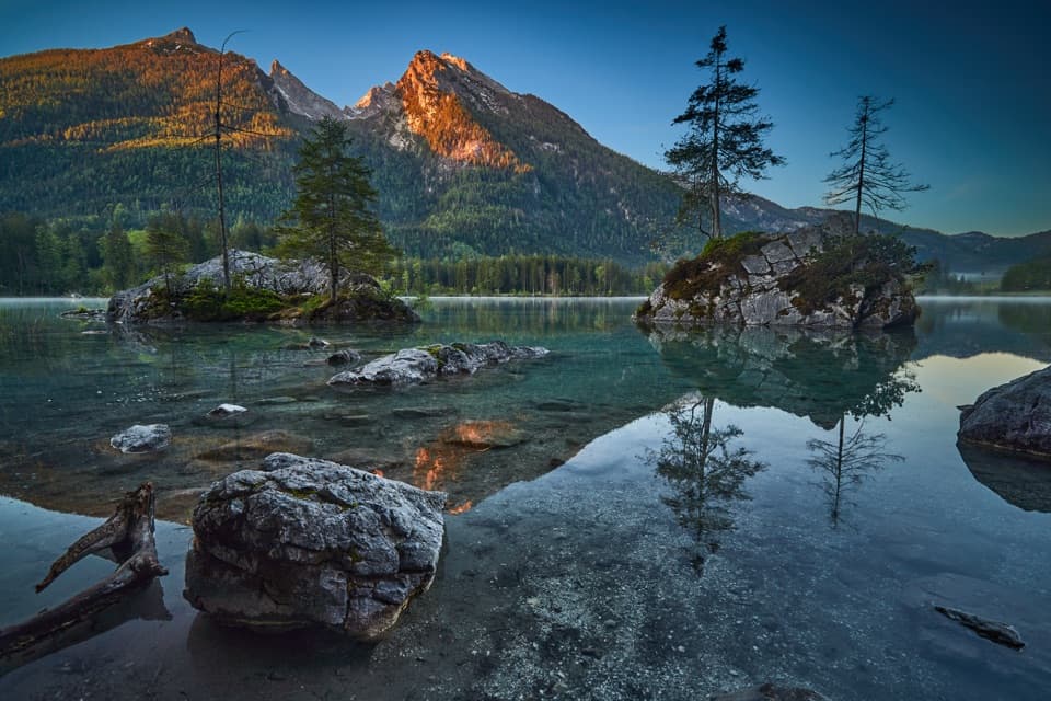
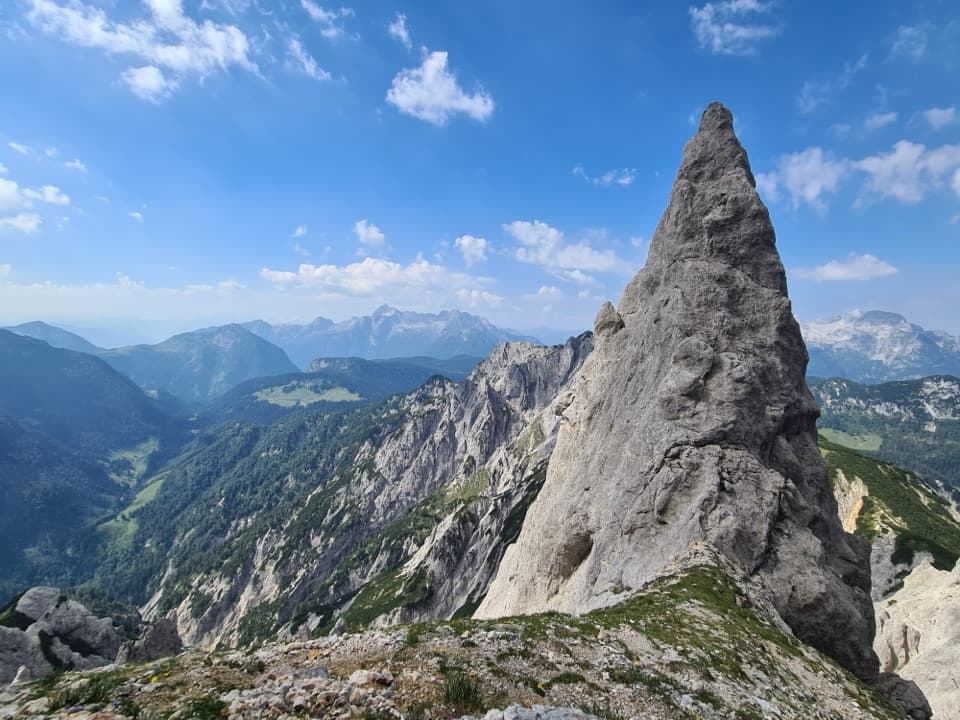
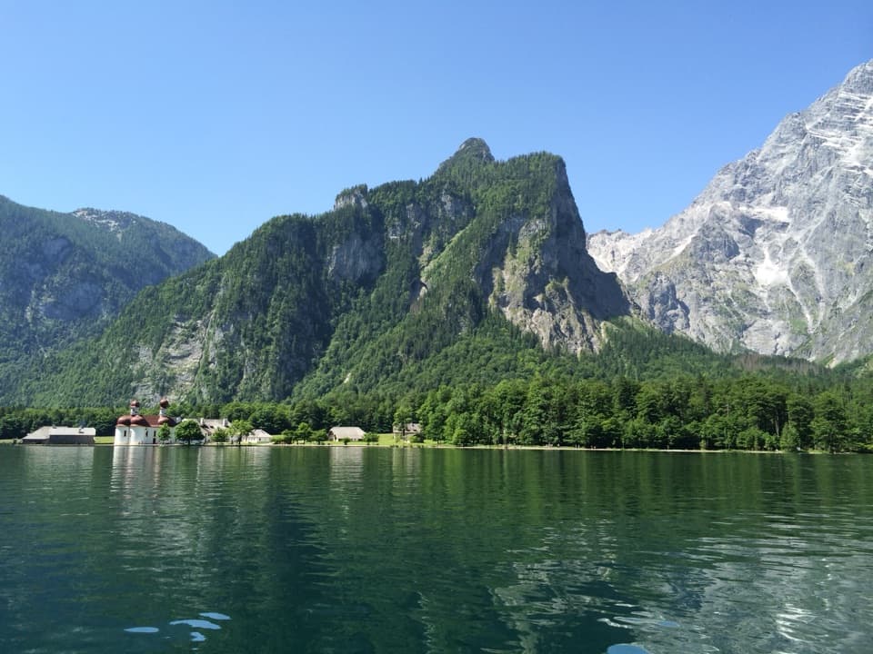
Aim for a calm reflectionOn clear days, the steep walls of Reiteralm and Hochkalter show up in the water.

On clear days, the steep walls of Reiteralm and Hochkalter show up in the water. Early morning can bring a little ground fog, with the peaks and Blaueiskar and Blaueis Glacier reflected on still water. For a phone photo, include one of the shore boulders in the foreground to give the mountains scale.

A Bronze Age rockslide made the lakeAbout 3,500 years ago, a huge rockslide dammed the Klausbach and formed Hintersee.

About 3,500 years ago, a huge rockslide dammed the Klausbach and formed Hintersee. The slide carried an estimated 12 to 16 million cubic metres of rock down 3.7 km; buried wood found in a borehole was dated to around the same time, in the Bronze Age.

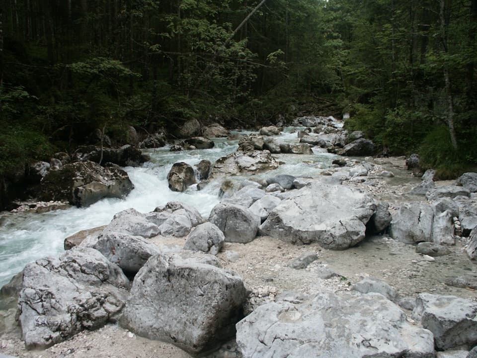
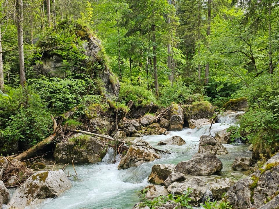
The lake’s outflow cuts through ZauberwaldWater flowing out of the lake has carved deep channels between the boulders in Zauberwald, a…

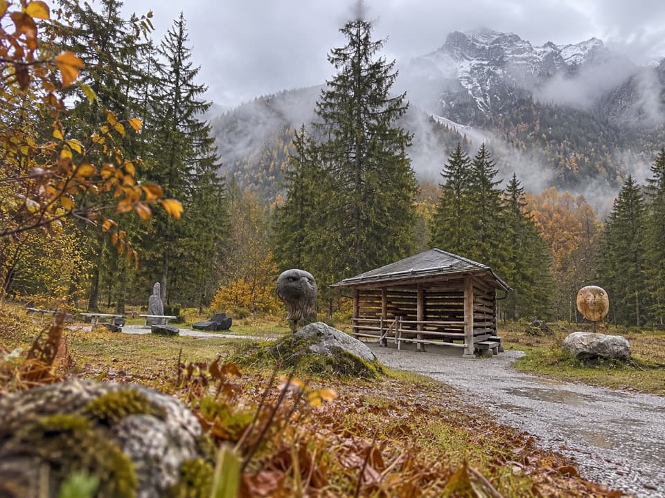
Water flowing out of the lake has carved deep channels between the boulders in Zauberwald, a forest geotope recognized among Bavaria’s most beautiful. The footpath was first made in 1896–97, and the name Zauberwald took hold in the 1920s.

Painters came for the same mountain viewHintersee began drawing landscape painters around 1850.

Hintersee began drawing landscape painters around 1850. Carl Rottmann, Ferdinand Waldmüller, Friedrich Gauermann and Wilhelm Busch were among the artists associated with the lake; a signposted painters’ trail interprets their work.

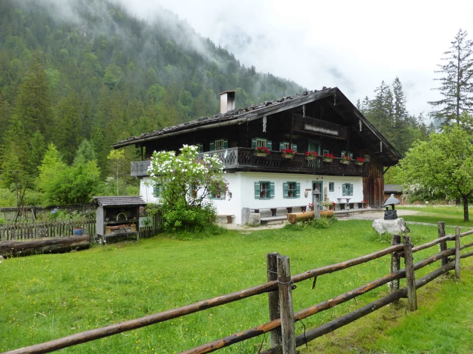
Add the Klausbachhaus for more contextAt the valley entrance, the national park’s Klausbachhaus information point has a two-floor…

At the valley entrance, the national park’s Klausbachhaus information point has a two-floor exhibit on alpine farming and alpine-pasture life. The house itself isn’t barrier-free, but there’s a wheelchair-accessible outdoor toilet, and a barrier-free circular path starts there.

Wildlife

Wildlife in Berchtesgaden

All Berchtesgaden wildlife maps

Sighting maps show where each species has been reported across Berchtesgaden. Wildlife moves, so no sighting is guaranteed.

Keep exploring

Near Hintersee

See it all on the map

Trails nearby

More stops nearby

Parkwolf’s Berchtesgaden ranking

Top sights in Berchtesgaden

All 57 places
  1. 1KönigsseeSight
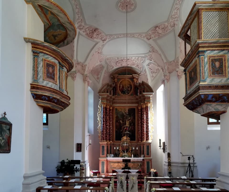
  2. 2St. Bartholomä Pilgrimage ChurchSight
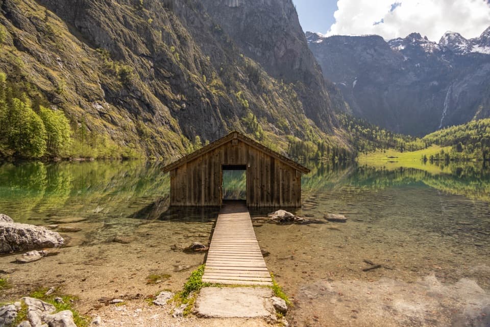
  3. 3OberseeSight
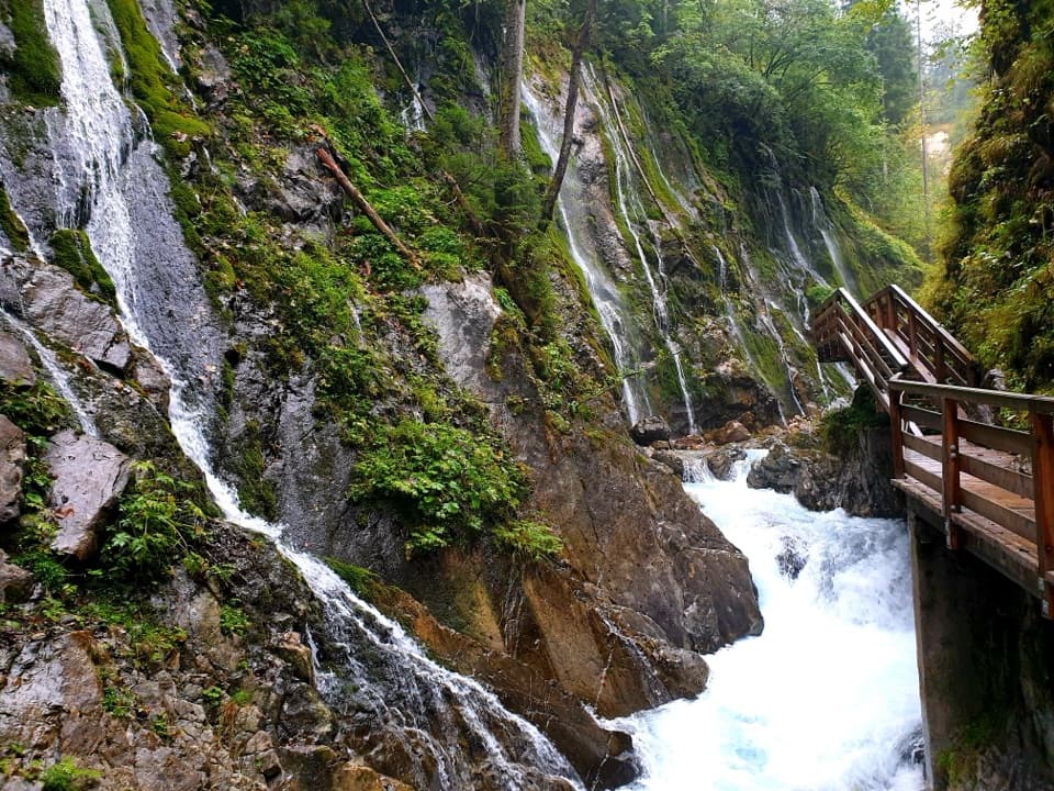
  4. 4WimbachklammSight
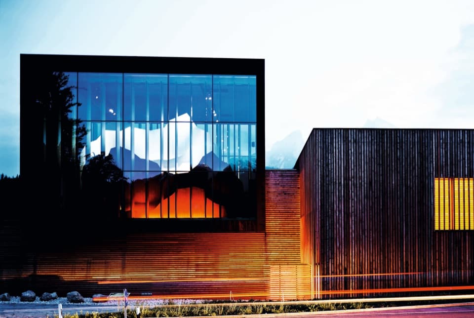
  5. 5Haus der BergeSight
  6. 7Königsblick (Jenner Summit Viewpoint)Sight

Take Parkwolf to Berchtesgaden.

The audio tour guide for the drive, plus offline maps, trails, and wildlife heatmaps for when the signal drops.

4.7 from 8,600+ ratings

Download Parkwolf on the App StoreGet Parkwolf on Google Play