Parking
Start and finish at the named Parkplatz Hintersee in Ramsau. Several lots serve the lake, and the route information does not identify a particular bay or fee; match your parking spot to the marked route start before setting off.
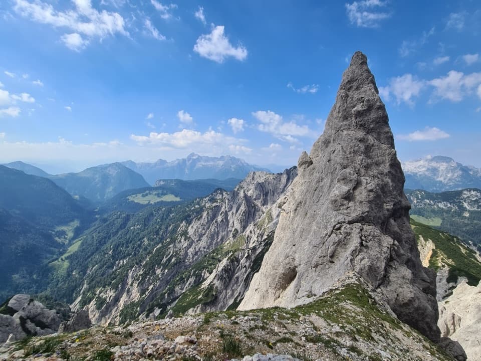
Berchtesgaden National Park, BY
A 12-hour hut loop with a steep, secured alpine climb.
Overview
Map & elevation
Plan your hike

The highest, rockiest slopes around here are a summer buffet for grizzly bears.
Berchtesgaden Tour Guide
Parkwolf is a GPS audio tour guide for Berchtesgaden National Park. As you drive, it chimes in with what’s ahead: hidden gems, upcoming stops, history, geology, and wildlife, right through your car’s speakers.
Recorded for this area
Klausbachhaus and Golden Eagle Country“Klausbachhaus is ahead, a useful stop before choosing a walk into Klausbach Valley.”
Plays near this trailhead in the Parkwolf Berchtesgaden Tour Guide.
More stories near here in the app
“Fantastic app with many points of information… It’s great to just turn on while you’re driving and it gives you an audio tour of the national Park. We love it!!!!”


Trail guide
The Reiter Alm Hut Tour via Schaflsteig is a 25.3 km (15.7 mi) loop from Parkplatz Hintersee, up to the Reiter Alm plateau and Neue Traunsteiner Hütte, then down the Wachterlsteig to Ramsau and back past Taubensee. Allow about 12 hours, with roughly 1,575 m of climbing. This is a demanding alpine day, not an easy walk to a hut: the Schaflsteig is rated very difficult and its upper section is secured. Choose it if you already handle long, steep mountain routes and exposed terrain. Stadelhorn and Wagendrischelhorn are optional summit detours; neither is part of this loop.
From Hintersee the route heads into Klausbachtal on a mostly level forest footpath. At Engertalm, leave the valley route and climb the steep Schaflsteig beneath the high south faces of the Mühlsturzhörner. The upper path is secured in places and feels like a short via ferrata before it reaches Mayrbergscharte, at about 2,053 m. The exposed rock walls bring a real rockfall hazard, and a helmet may be needed. The hut's access guidance says this approach is for very experienced mountaineers. Old snow can linger on exposed sections into early summer and may call for an ice axe and crampons.
From Mayrbergscharte, follow Steinberggasse across the high Reiter Alm plateau to the hut at its eastern end. The official route allows about two hours to reach the alpine meadow from the pass. This is the quieter, more open middle of the day, but it still sits high above the valleys and adds no easy exit: no road reaches the hut. From Neue Traunsteiner Hütte, descend by Wachterlsteig toward Ramsau, then pass Taubensee on the way back to Hintersee. Keep the line on the main tour; adding the nearby Stadelhorn or Wagendrischelhorn summit climbs changes the route and the time commitment.
The Reiter Alm is a broad limestone plateau with steep sides. Rainwater has dissolved the Dachstein limestone into closed hollows called dolines and narrow grooves called karren. The terrain can look unexpectedly pitted and bare after the forest climb. Water is scarce across parts of the plateau, so don't count on finding a refill once you leave the valley.
Larch grows with spruce and stone pine on the eastern slopes, while mountain-pine scrub covers much of the plateau. Frost pockets collect in hollows, leaving some of them open and treeless. The sheer rock faces provide golden-eagle nesting habitat; that makes the cliffs worth scanning, but it doesn't promise a sighting.
The older Traunsteiner Hütte opened in Austria in 1901. After a 1933 border-crossing fee made that cross-border hut costly for the German Alpine Club section, the section built the larger Neue Traunsteiner Hütte on the Bavarian side. It opened in 1938 and was named for section chair Karl Merkenschlager. The hut has rooms and dormitory beds; reserve ahead if you plan to stay overnight, and check directly whether food service is available for your date.
The named start and finish is Parkplatz Hintersee in Ramsau. Several lots serve the lake, and the route information doesn't identify a particular bay or parking fee, so match your chosen lot to the route start before setting off. Dogs are allowed in the national park but must stay on a leash. The hut is the only confirmed overnight facility on this route; no trail-specific water or toilet locations were established.
Wildlife
 14 sightingsBearded VultureMost seen around noonSighting map
 29 sightingsGolden EagleMost seen around noonSighting map
 22 sightingsRed DeerMost seen around 6 PMSighting map
 131 sightingsAlpine ChamoisMost seen around 5 PMSighting map
 65 sightingsAlpine SalamanderMost seen around 11 AMSighting map
 63 sightingsAlpine MarmotMost seen around 9 AMSighting map
Sighting maps show where each species has been reported across Berchtesgaden. Wildlife moves, so no sighting is guaranteed.
Keep exploring
 ModerateKlausbachtal – Hirschbichl – Weißbach Trail14 km · 4.5 hr · 0.1 km awayFollow an old salt road over the pass and into Austria.ChallengingStadelhorn via Schaflsteig16.6 km · 9 hr · 0.1 km awayA protected gully and exposed ridge lead to Reiter Alm’s highest summit.
 EasyWildfütterung im Klausbachtal4.2 km · 2 hr · 0.1 km awayA gentle valley walk to the winter deer-viewing gallery.
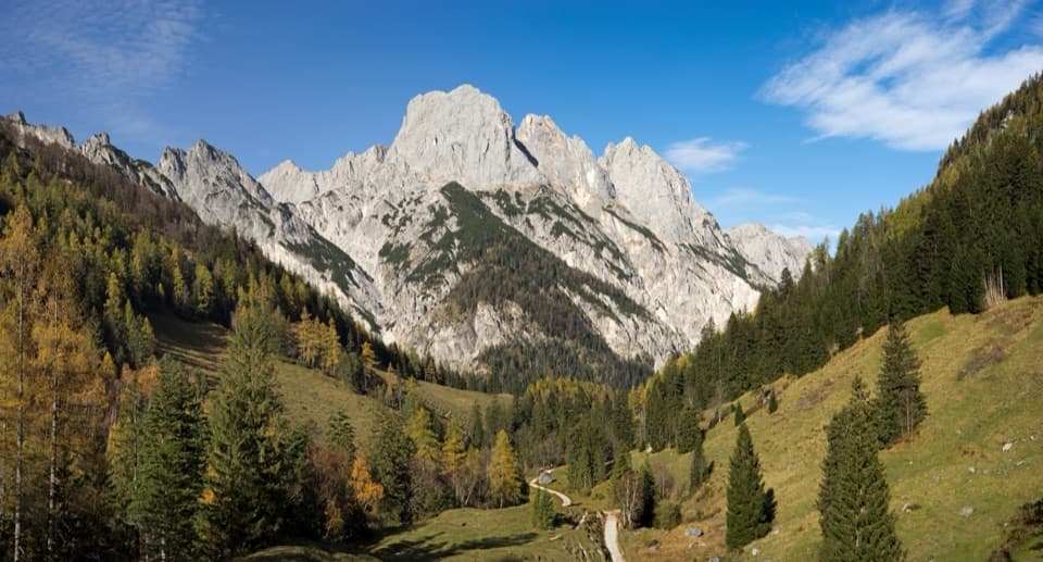 ChallengingKammerlinghorn Loop from Hintersee20.8 km · 10 hr · 0.1 km awayA full-day loop climbs to the Hocheis area's only marked summit.
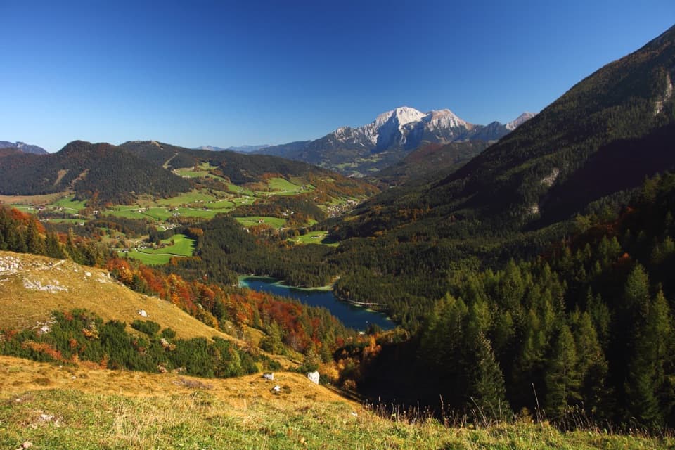 ModerateHalsalm-Rundweg6.4 km · 3.5 hr · 0.1 km awayA steady climb to a pasture balcony above Hintersee.ModerateBindalm via Klausbachtal14 km · 4 hr · 0.1 km awayA valley walk to old huts below the Ramsau Dolomites.
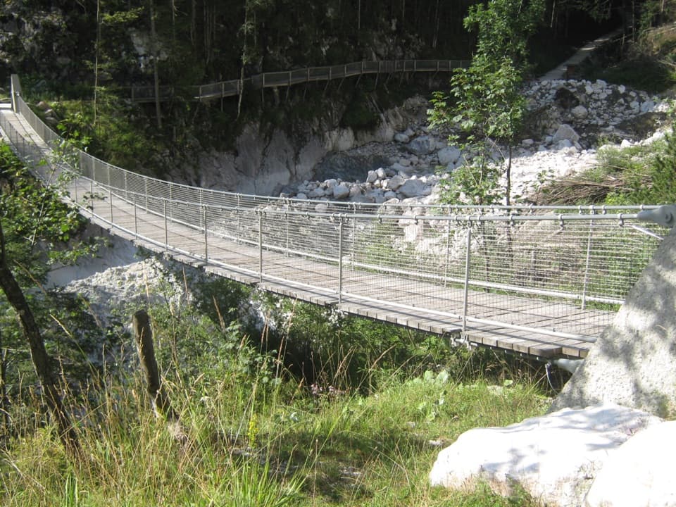 EasyKlausbachtal bis Hängebrücke7.4 km · 3 hr · 0.1 km awayA broad valley walk to a bridge over a 1999 rockfall scar.
 ChallengingBöslsteig to Neue Traunsteiner Hütte9.1 km · 6 hr · 0.1 km awayCable-secured steps lead to a hut on the karst plateau.
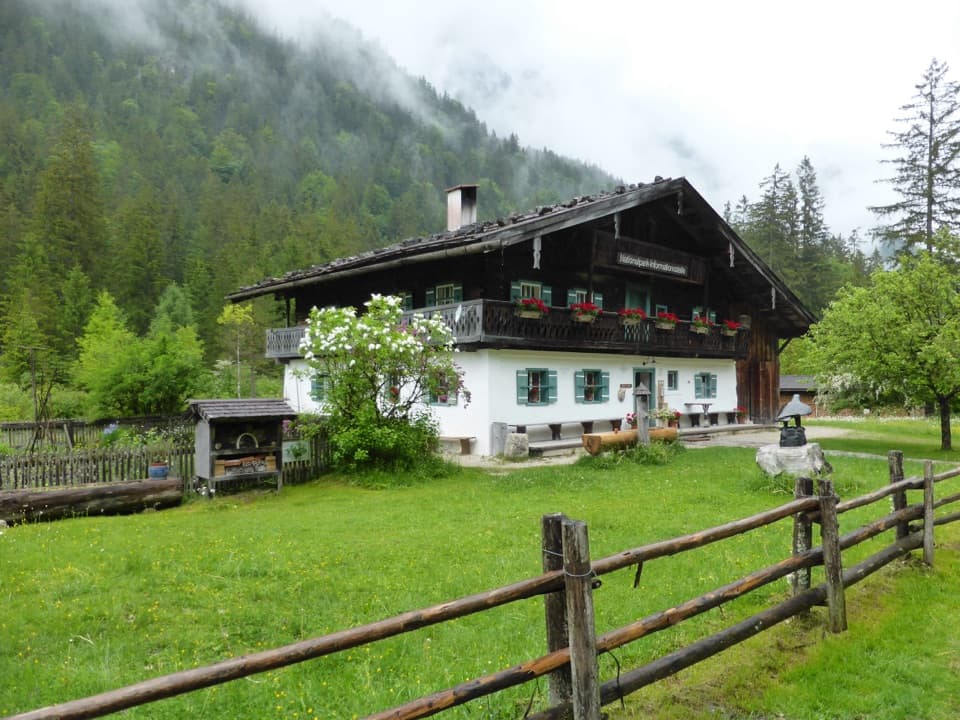 Visitor center · 0.1 km awayKlausbachhausA farmhouse museum, garden path, and easy walk into eagle country.Sight · 0.9 km awayHalsalmA rustic farm hut above Hintersee, with a view worth the climb.
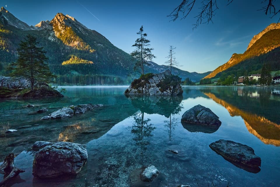 Sight · 1.2 km awayHinterseeA gentle lake loop under mountain walls and clear reflections.
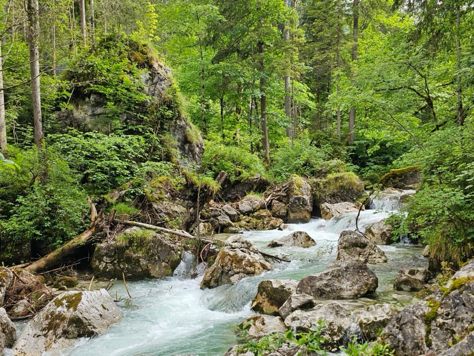 Sight · 1.4 km awayZauberwaldRushing water cuts through a Bronze Age boulder forest.
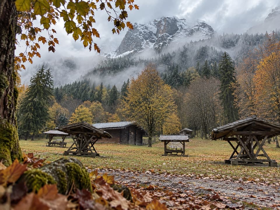 Sight · 1.8 km awayKlausbachtal Red Deer FeedingA winter walk for a chance to see red deer gather.
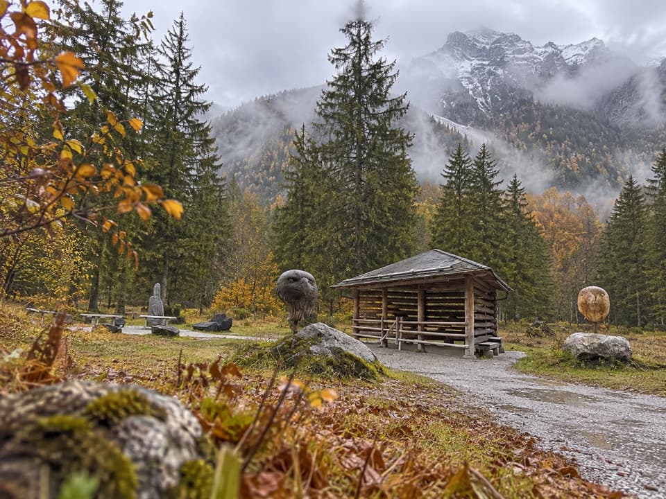 Sight · 1.8 km awayGolden Eagle Observation PointA short valley walk for a patient look at golden-eagle country.
 Restaurant · 2.2 km awaySchärtenalmA proper uphill hut stop for homemade cake and big mountain views.
 Lodging · 2.4 km awayBlaueishütteA proper alpine hut after a steep climb into the Blaueiskar.
Parkwolf’s Berchtesgaden ranking

The audio tour guide for the drive, plus offline maps, trails, and wildlife heatmaps for when the signal drops.




