Parking
Parkplatz Seeklause is the named start and finish for this circuit.
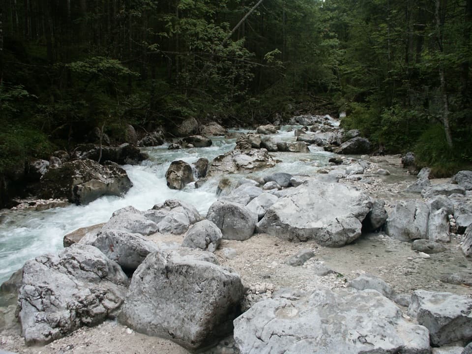
Berchtesgaden National Park, BY
Clear streams and old boulders lead into a lakeside loop.
Overview
Map & elevation
Plan your hike

The highest, rockiest slopes around here are a summer buffet for grizzly bears.
Berchtesgaden Tour Guide
Parkwolf is a GPS audio tour guide for Berchtesgaden National Park. As you drive, it chimes in with what’s ahead: hidden gems, upcoming stops, history, geology, and wildlife, right through your car’s speakers.
Recorded for this trailhead
Hintersee and the Boulder Forest“Up ahead is Hintersee, a good stop for clear water and mountain views without a big climb. The nearly flat lake circuit takes about an hour, and calm water can reflect the walls of Hochkalter and Reiteralm.”
Plays as you drive up to this trailhead in the Parkwolf Berchtesgaden Tour Guide.
More stories near here in the app
“Fantastic app with many points of information… It’s great to just turn on while you’re driving and it gives you an audio tour of the national Park. We love it!!!!”


Trail guide
Naturlehrpfad Zauberwald is an easy 3.3 km loop from Parkplatz Seeklause, with about 55 m up and down. Allow roughly 1 hour 15 minutes. It pairs a stream-cut boulder path through the Zauberwald with a lakeside walk to Alpenhof, then returns through the forest. Pick it for a short geology walk and lake views, not a long mountain hike.
The full circuit includes the lakeside out-and-back to Alpenhof. A separate 2.1 km forest-only loop is the shorter choice; a 4.3 km option starts in Ramsau village.
From Seeklause, cross the bridge over the Ramsauer Ache and keep left into the Zauberwald. The path reaches Hintersee, then turns toward the shore and continues past Antonikapelle to Alpenhof. Turn there and retrace the lakeside leg to the forest junction. For the return, continue through the boulder wood, cross two bridges over the stream, pass Wirtshaus im Zauberwald and rejoin the original approach to Seeklause.
Steps and footbridges carry the trail through the rocky section, so this is a walk to take at an unhurried pace. The turns at Alte Hinterseer Straße and Triebenbachstraße are part of the circuit; follow the trail signs rather than continuing around the lake.
About 3,500 years ago, a rockslide from below Schärtenspitze and Steinberg sent around 15 million cubic metres of stone into the valley. The debris dammed the Ramsauer Ache and formed Hintersee. Today the stream threads among pale boulders covered with moss and plants. The footpath was laid out in 1896–97, and the name Zauberwald became established in the 1920s.
Interpretive boards explain the rockfall, the lake and local plants. May through July is the best time to notice the flora. At the footbridges, frame the water between the boulders for a more distinctive photo than a forest-only view.
Park at Parkplatz Seeklause, the named start and finish. Wirtshaus im Zauberwald is on the forest return; Gasthaus Seeklause is a short detour on Am See. The route is promoted year-round, and the Zauberwald paths are cleared in winter.
Wildlife
 14 sightingsBearded VultureMost seen around noonSighting map
 29 sightingsGolden EagleMost seen around noonSighting map
 22 sightingsRed DeerMost seen around 6 PMSighting map
 131 sightingsAlpine ChamoisMost seen around 5 PMSighting map
 65 sightingsAlpine SalamanderMost seen around 11 AMSighting map
 63 sightingsAlpine MarmotMost seen around 9 AMSighting map
Sighting maps show where each species has been reported across Berchtesgaden. Wildlife moves, so no sighting is guaranteed.
Keep exploring
 ChallengingBlaueishütte via Schärtenalm10.5 km · 5 hr · At the trailheadA steady, steep climb from Hintersee to a hut beneath the Blaueis.
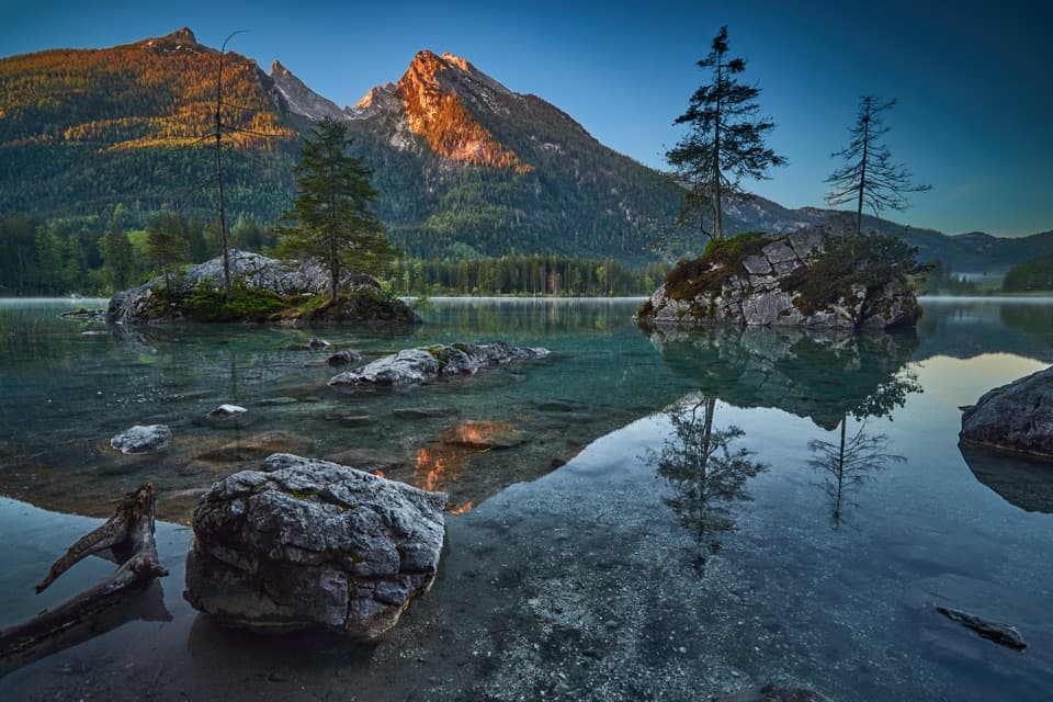 EasyPrinzregent-Luitpold-Weg2.7 km · 1 hr · At the trailheadAn easy lake loop with mountain reflections and painters’ easels.
 ModerateSchärtenalm from Hintersee7.1 km · 3.5 hr · At the trailheadA steep forest climb ends at a rustic hut above Hintersee.
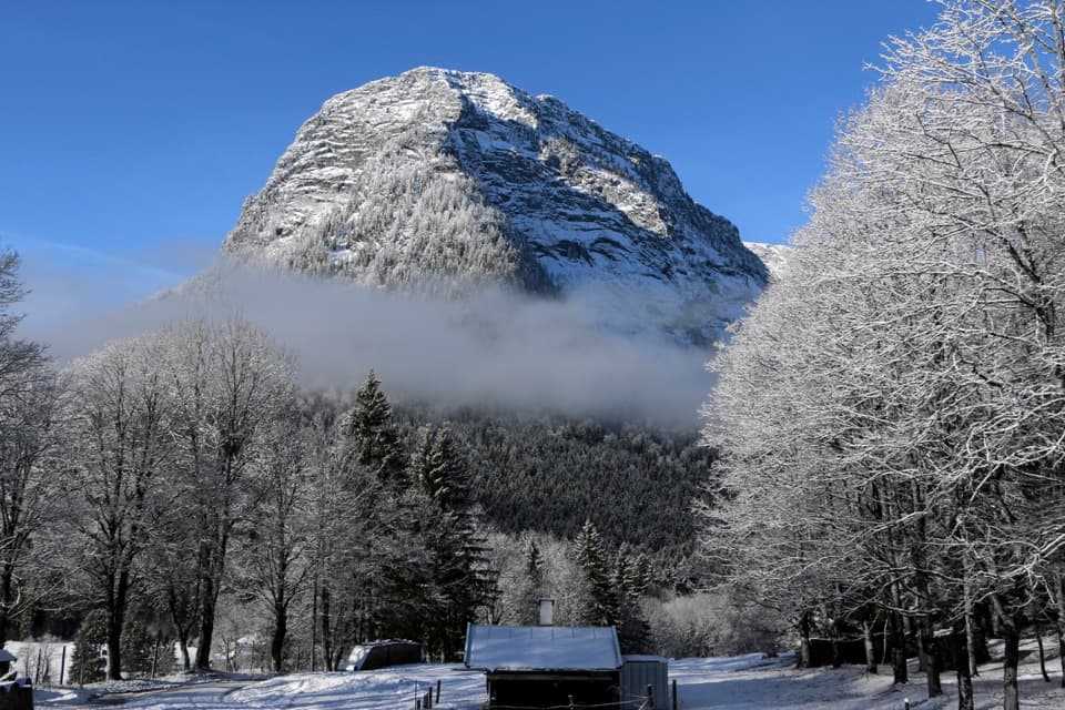 ChallengingEisberg via Eisbergsteig and Eingeschossener Steig12.4 km · 7.5 hr · 1.1 km awayThree summit crosses, an unmarked ridge, and a serious cable ledge.
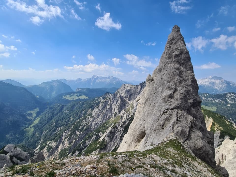 ChallengingReiter Alm Hut Tour via Schaflsteig25.3 km · 12 hr · 1.3 km awayA 12-hour hut loop with a steep, secured alpine climb.
 ModerateKlausbachtal – Hirschbichl – Weißbach Trail14 km · 4.5 hr · 1.3 km awayFollow an old salt road over the pass and into Austria.ChallengingStadelhorn via Schaflsteig16.6 km · 9 hr · 1.3 km awayA protected gully and exposed ridge lead to Reiter Alm’s highest summit.
 EasyWildfütterung im Klausbachtal4.2 km · 2 hr · 1.3 km awayA gentle valley walk to the winter deer-viewing gallery.
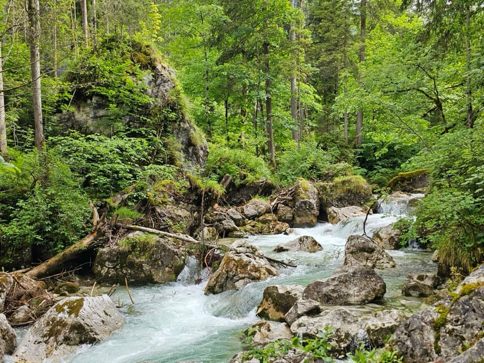 Sight · 0.1 km awayZauberwaldRushing water cuts through a Bronze Age boulder forest.
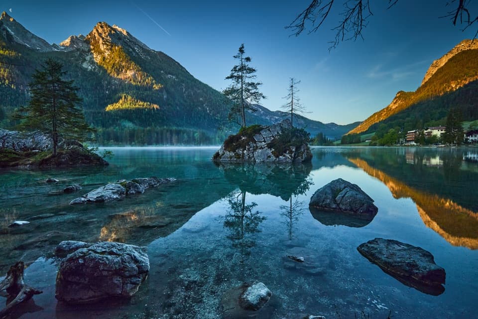 Sight · 0.4 km awayHinterseeA gentle lake loop under mountain walls and clear reflections.
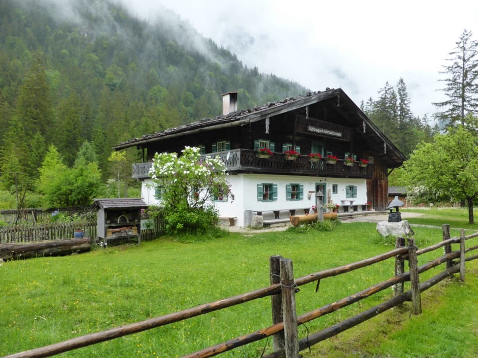 Visitor center · 1.4 km awayKlausbachhausA farmhouse museum, garden path, and easy walk into eagle country.Restaurant · 1.4 km awaySchärtenalmA proper uphill hut stop for homemade cake and big mountain views.
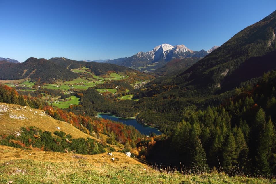 Sight · 1.9 km awayHalsalmA rustic farm hut above Hintersee, with a view worth the climb.Lodging · 2.1 km awayBlaueishütteA proper alpine hut after a steep climb into the Blaueiskar.
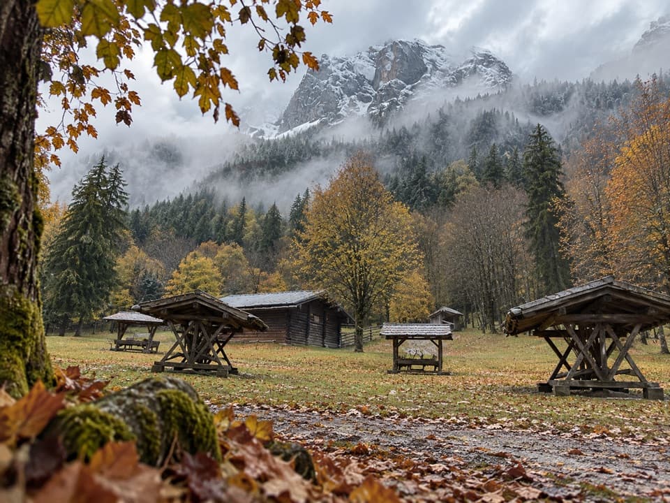 Sight · 3 km awayKlausbachtal Red Deer FeedingA winter walk for a chance to see red deer gather.
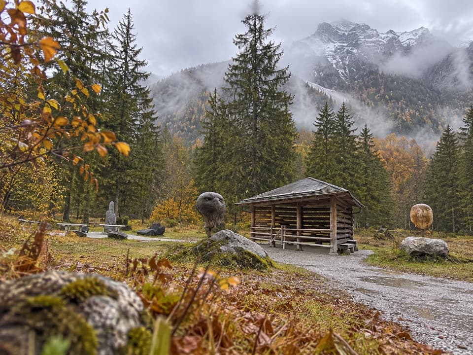 Sight · 3 km awayGolden Eagle Observation PointA short valley walk for a patient look at golden-eagle country.
Parkwolf’s Berchtesgaden ranking

The audio tour guide for the drive, plus offline maps, trails, and wildlife heatmaps for when the signal drops.




