Parking
Start at the paid Parkplatz Hirschbichlstraße beside Hintersee. The Almerlebnisbus stop at Engert-Holzstube is a closer access; from there, the Schaflsteig turn is about 250 m along the road.
Berchtesgaden National Park, BY
A protected gully and exposed ridge lead to Reiter Alm’s highest summit.
Overview
Map & elevation
Plan your hike

The highest, rockiest slopes around here are a summer buffet for grizzly bears.
Berchtesgaden Tour Guide
Parkwolf is a GPS audio tour guide for Berchtesgaden National Park. As you drive, it chimes in with what’s ahead: hidden gems, upcoming stops, history, geology, and wildlife, right through your car’s speakers.
Recorded for this area
Klausbachhaus and Golden Eagle Country“Klausbachhaus is ahead, a useful stop before choosing a walk into Klausbach Valley.”
Plays on the road 0.1 km from the trailhead in the Parkwolf Berchtesgaden Tour Guide.
More stories near here in the app
“Fantastic app with many points of information… It’s great to just turn on while you’re driving and it gives you an audio tour of the national Park. We love it!!!!”


Trail guide
Stadelhorn via Schaflsteig is a marked out-and-back from the paid Hirschbichlstraße parking lot at Hintersee to the 2,286 m summit. The uphill line is 8.3 km; plan for about 16.6 km round trip, 1,575 m of climbing, and roughly nine hours. This is a very demanding mountain ascent, with a steep protected gully and hands-on rock steps near the top. Go only if exposed ledges and scrambling are within your experience.
The route follows the Klausbachtal valley to Engert-Holzstube before the climb begins. About 4.5 km of the one-way route is this approach. The Almerlebnisbus serves Engert-Holzstube; starting there skips most of the valley miles but leaves the steep summit climb intact.
From the bus stop, follow the road for about 250 m to the Schaflsteig turn. Step over the pasture fence onto Engertalm’s open meadow; the path climbs it in tight switchbacks before entering the forest. Higher up, it crosses sandy ground and dwarf pine between Stadlgraben and Mühlsturzgraben.
The trail traverses below the Stadelmauer’s rock walls and passes pointed limestone towers on its way to Hochgscheid. The Loferer Steig joins from the Austrian side here; stay with the marked Stadelhorn route under the wall toward Mayrbergscharte.
The last gully to Mayrbergscharte, at 2,053 m, is steep and secured in a via-ferrata style. Rockfall is a real hazard there, and a helmet is suggested. From the col, a steep ridge with ledges and short rock steps climbs to the summit; expect a few hands-on moves around UIAA grade I.
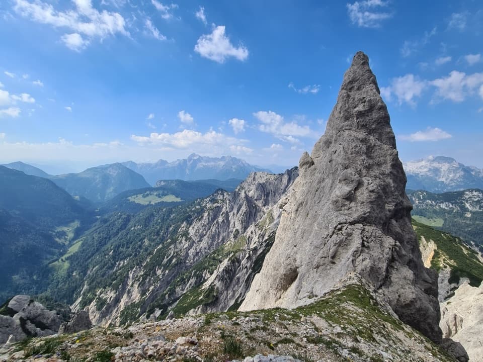
At 2,286 m, Stadelhorn is the highest and most prominent summit on the Reiter Alm, on the Bavaria–Salzburg border. The panorama can take in Watzmann and Hochkalter, the Loferer and Leoganger Steinberge, the High Tauern, Großglockner, Großvenediger, and Zugspitze. Golden eagles and bearded vultures inhabit the area. On the way up, the tall limestone tower beside Schaflsteig makes a striking close view against the valley.
Dogs may accompany hikers in the National Park but should be kept leashed to protect wildlife and away from grazing animals. The steep protected gully and exposed rock steps make this route unsuitable for most dogs. No dependable food or water stop was documented along the route, so carry enough for a long day.
Wildlife
 14 sightingsBearded VultureMost seen around noonSighting map
 29 sightingsGolden EagleMost seen around noonSighting map
 22 sightingsRed DeerMost seen around 6 PMSighting map
 131 sightingsAlpine ChamoisMost seen around 5 PMSighting map
 65 sightingsAlpine SalamanderMost seen around 11 AMSighting map
 63 sightingsAlpine MarmotMost seen around 9 AMSighting map
Sighting maps show where each species has been reported across Berchtesgaden. Wildlife moves, so no sighting is guaranteed.
Keep exploring
 ModerateKlausbachtal – Hirschbichl – Weißbach Trail14 km · 4.5 hr · At the trailheadFollow an old salt road over the pass and into Austria.
 EasyWildfütterung im Klausbachtal4.2 km · 2 hr · At the trailheadA gentle valley walk to the winter deer-viewing gallery.
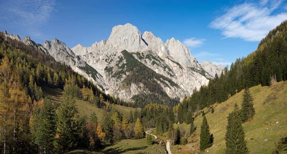 ChallengingKammerlinghorn Loop from Hintersee20.8 km · 10 hr · At the trailheadA full-day loop climbs to the Hocheis area's only marked summit.
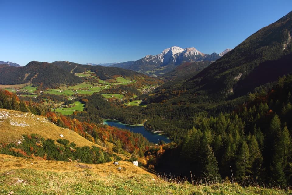 ModerateHalsalm-Rundweg6.4 km · 3.5 hr · At the trailheadA steady climb to a pasture balcony above Hintersee.ModerateBindalm via Klausbachtal14 km · 4 hr · At the trailheadA valley walk to old huts below the Ramsau Dolomites.
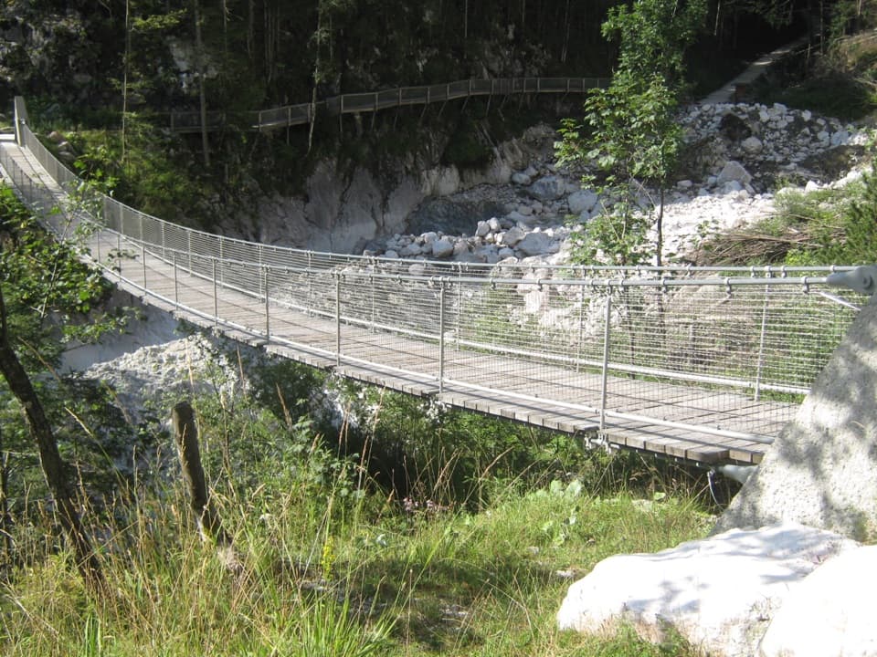 EasyKlausbachtal bis Hängebrücke7.4 km · 3 hr · At the trailheadA broad valley walk to a bridge over a 1999 rockfall scar.
 ChallengingBöslsteig to Neue Traunsteiner Hütte9.1 km · 6 hr · At the trailheadCable-secured steps lead to a hut on the karst plateau.
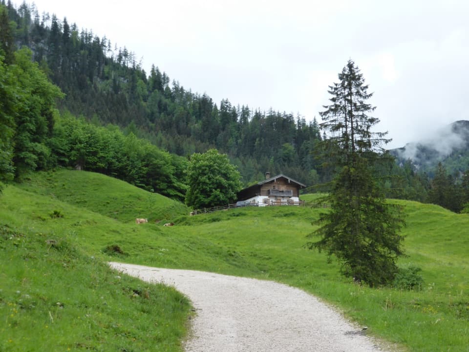 EasyRagertalm5.8 km · 1.5 hr · At the trailheadA gentle Klausbachtal walk to a working alpine pasture.
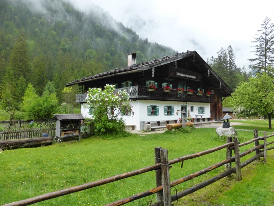 Visitor center · At the trailheadKlausbachhausA farmhouse museum, garden path, and easy walk into eagle country.Sight · 0.9 km awayHalsalmA rustic farm hut above Hintersee, with a view worth the climb.
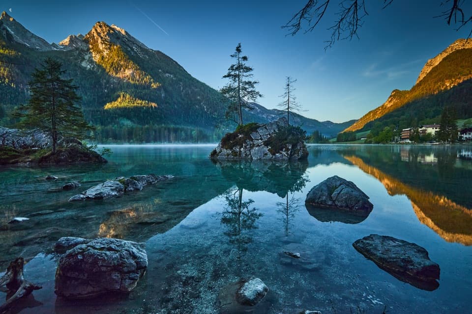 Sight · 1.2 km awayHinterseeA gentle lake loop under mountain walls and clear reflections.
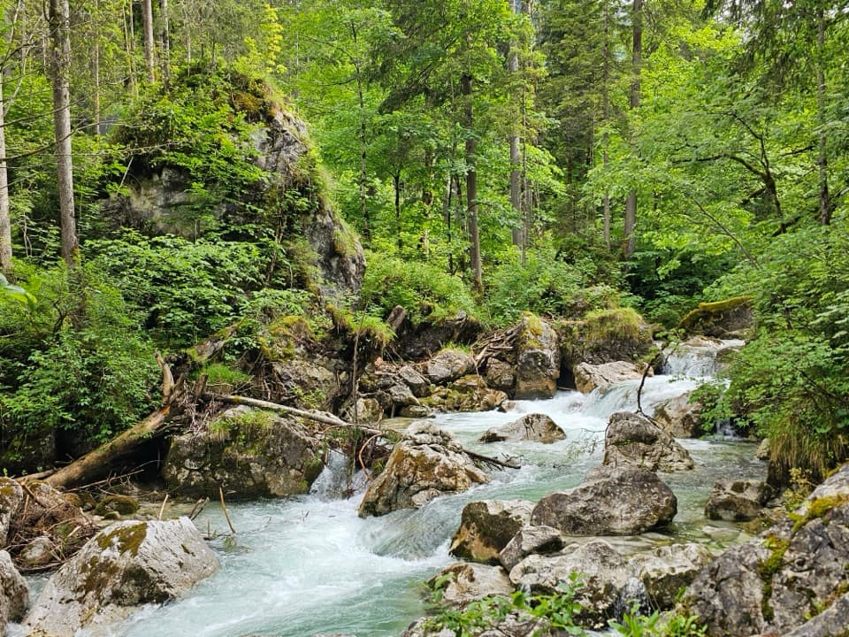 Sight · 1.4 km awayZauberwaldRushing water cuts through a Bronze Age boulder forest.
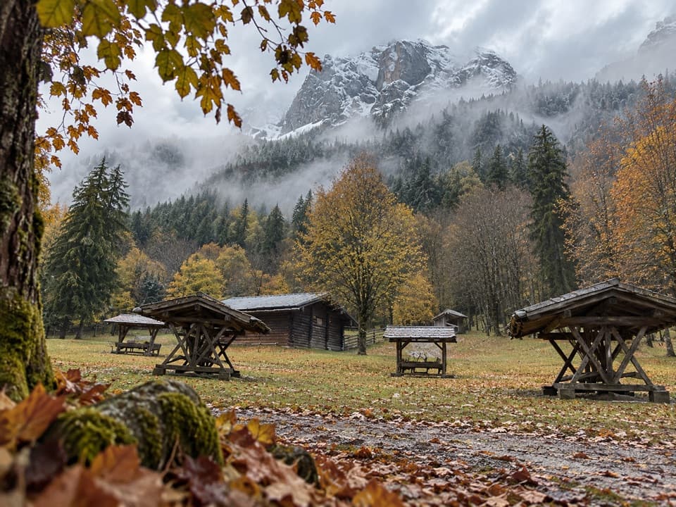 Sight · 1.7 km awayKlausbachtal Red Deer FeedingA winter walk for a chance to see red deer gather.
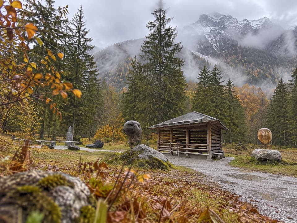 Sight · 1.7 km awayGolden Eagle Observation PointA short valley walk for a patient look at golden-eagle country.
 Restaurant · 2.3 km awaySchärtenalmA proper uphill hut stop for homemade cake and big mountain views.
 Lodging · 2.4 km awayBlaueishütteA proper alpine hut after a steep climb into the Blaueiskar.
Parkwolf’s Berchtesgaden ranking

The audio tour guide for the drive, plus offline maps, trails, and wildlife heatmaps for when the signal drops.




