Parking
The named start is Gasthof Oberwirt beside St. Sebastian in Ramsau. A public trailhead lot and its fees were not verified.
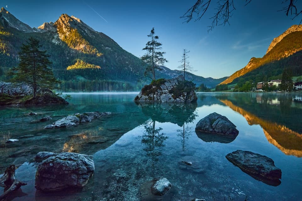
Berchtesgaden National Park, BY
A full day through Zauberwald, Hintersee and the Schattseitweg.
Overview
Map & elevation
Plan your hike

The highest, rockiest slopes around here are a summer buffet for grizzly bears.
Berchtesgaden Tour Guide
Parkwolf is a GPS audio tour guide for Berchtesgaden National Park. As you drive, it chimes in with what’s ahead: hidden gems, upcoming stops, history, geology, and wildlife, right through your car’s speakers.
Recorded for this trailhead
Ramsau: A Full Day on Schattseitweg“Ramsau is ahead, where the Schattseitweg circuit starts beside St. Sebastian's church. Choose this for a full day linking Hintersee with the wooded slopes of Hochkalter, rather than a short lakeside stroll.”
Plays as you drive up to this trailhead in the Parkwolf Berchtesgaden Tour Guide.
More stories near here in the app
“Fantastic app with many points of information… It’s great to just turn on while you’re driving and it gives you an audio tour of the national Park. We love it!!!!”


Trail guide
Ramsauer Schattseitweg is a 15.7 km (9.8-mile) loop from Gasthof Oberwirt, beside St. Sebastian in Ramsau. Expect about 5 hours 15 minutes of hiking, with 440 m of ascent and descent; give yourself closer to six hours with stops. It ties together the village, the Zauberwald, Hintersee and the forest-side Schattseitweg on Hochkalter, so choose it for a full day out rather than a quick lake visit.
The route heads from Oberwirt to Gletscherquellen, where meltwater from the Blaueis Glacier emerges, then reaches Marxenklamm at the Zauberwald entrance. Through the forest, the nature path follows the water over bridges and boardwalks to Hintersee. St. Sebastian is right by the start, so you can take in Ramsau’s landmark before setting off.
Circle Hintersee on Prinzregent-Luitpold-Weg, then follow Schattseitweg along the north flank of Hochkalter toward Wimbachgries. The lake and forest route is the easier-feeling start; the long traverse after it is what turns this into a proper half-day walk. There’s no need to add the separate high-altitude stage that climbs Halsalm: that is a different route.
The SalzAlpenTour detours to Wimbachklamm, then comes back beside Ramsauer Ache to the village start. If you stop at the lake and gorge, the advertised 5:15 hiking time won’t include all your looking around. For a shorter Ramsau-to-Hintersee outing, a separate 12 km round-trip route starts at Neuhausenbrücke; it doesn’t follow this full Schattseitweg circuit.
Wildlife
 14 sightingsBearded VultureMost seen around noonSighting map
 29 sightingsGolden EagleMost seen around noonSighting map
 22 sightingsRed DeerMost seen around 6 PMSighting map
 131 sightingsAlpine ChamoisMost seen around 5 PMSighting map
 65 sightingsAlpine SalamanderMost seen around 11 AMSighting map
 63 sightingsAlpine MarmotMost seen around 9 AMSighting map
Sighting maps show where each species has been reported across Berchtesgaden. Wildlife moves, so no sighting is guaranteed.
Keep exploring
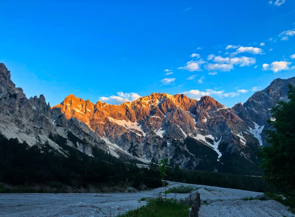 ChallengingHirschwieskopf Trail23.9 km · 9 hr · 1.8 km awayA long valley approach earns a sweeping Watzmann panorama.
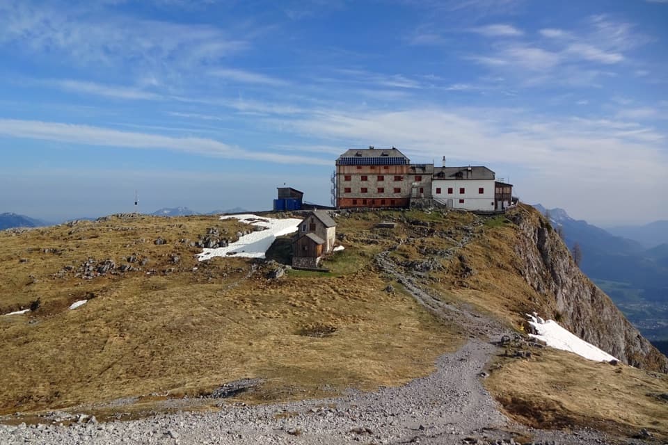 ChallengingWatzmannhaus from Wimbachbrücke13.9 km · 8 hr · 1.8 km awayA steep 1,270-meter climb to the hut beneath the Watzmann.
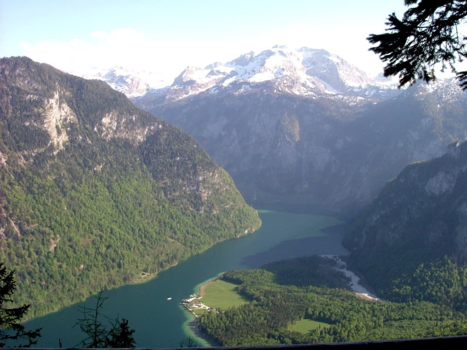 ChallengingKühroint – Archenkanzel Trail15.3 km · 5.5 hr · 1.8 km awayA steep climb to Kühroint and a huge Königssee view.ChallengingRund um den Watzmann via Trischübel19.9 km · 10 hr · 1.8 km awayA 20 km crossing from a scree valley to Königssee.
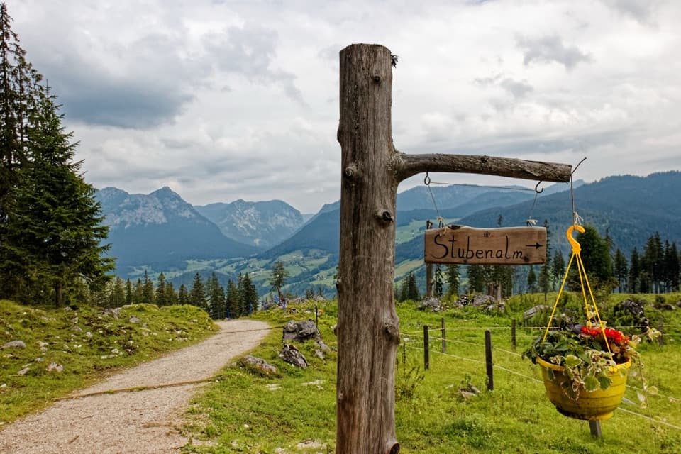 ChallengingMitterkaseralm am Watzmann via Stubenalm9.3 km · 4.5 hr · 1.8 km awayA steep forest climb to a pasture beneath Watzmannhaus.
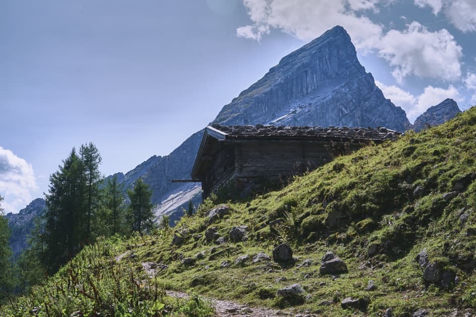 ChallengingFalzalm from Wimbachbrücke11.4 km · 6.5 hr · 1.8 km awayA steep climb to a hut framed by the Watzmann-Frau.
 ModerateWimbachklamm-Rundweg2.1 km · 1 hr · 1.8 km awayA short gorge loop with a one-way waterfall walk and steep return.
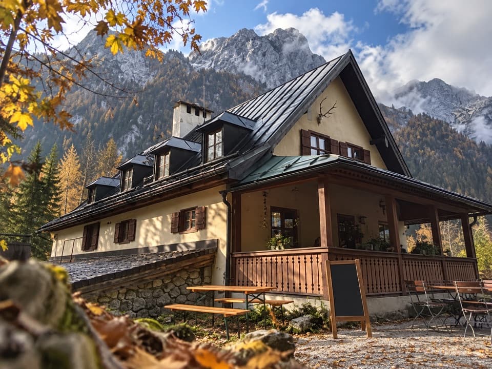 ModerateWimbachschloss Trail8.6 km · 3 hr · 1.8 km awayA steady valley walk to a historic lodge beneath the Watzmann.
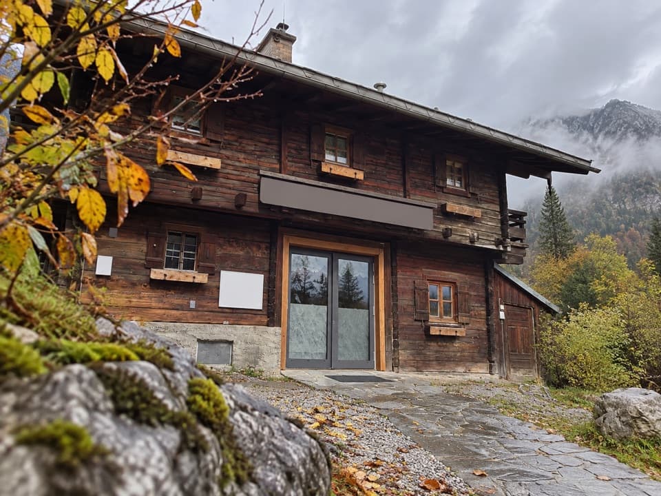 Visitor center · 1.8 km awayWimbachbrücke National Park Information PointA free geology exhibit at the start of Wimbachtal hikes.
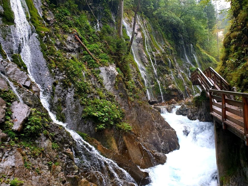 Sight · 1.9 km awayWimbachklammA short, ticketed boardwalk beside waterfalls and mossy rock.
 Restaurant · 2.5 km awaySchärtenalmA proper uphill hut stop for homemade cake and big mountain views.
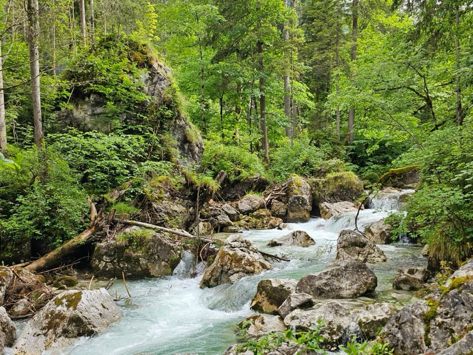 Sight · 3.2 km awayZauberwaldRushing water cuts through a Bronze Age boulder forest.
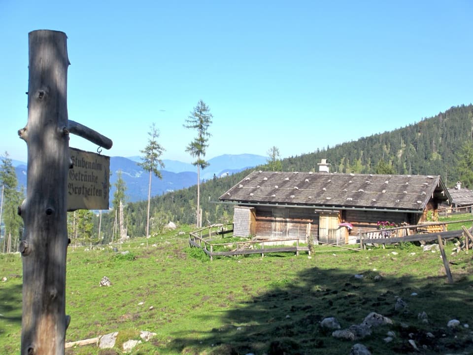 Food · 3.2 km awayStubenalmBrotzeit and Ramsau views reward the climb to this hut
 Lodging · 3.3 km awayBlaueishütteA proper alpine hut after a steep climb into the Blaueiskar.Sight · 3.5 km awayHinterseeA gentle lake loop under mountain walls and clear reflections.
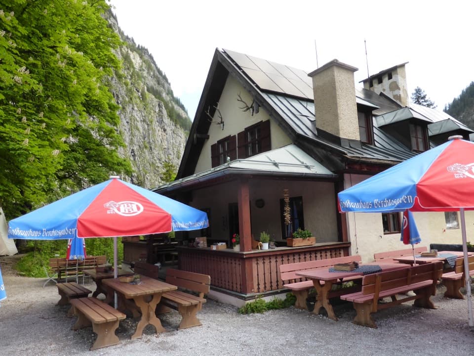 Restaurant · 3.9 km awayWimbachschlossA historic mountain inn worth the steady walk into the Wimbachgries.
Parkwolf’s Berchtesgaden ranking

The audio tour guide for the drive, plus offline maps, trails, and wildlife heatmaps for when the signal drops.



