Parking
Start at Nationalpark-Infostelle Wimbachbrücke; paid surface parking is next to the information point. Check the current parking fee on site.
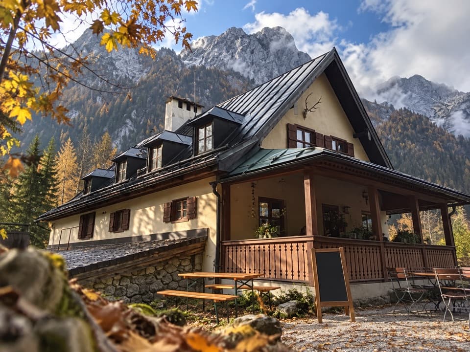
Berchtesgaden National Park, BY
A steady valley walk to a historic lodge beneath the Watzmann.
Overview
Map & elevation
Plan your hike

The highest, rockiest slopes around here are a summer buffet for grizzly bears.
Berchtesgaden Tour Guide
Parkwolf is a GPS audio tour guide for Berchtesgaden National Park. As you drive, it chimes in with what’s ahead: hidden gems, upcoming stops, history, geology, and wildlife, right through your car’s speakers.
Recorded for this trailhead
Wimbachbrücke and the Waterfall Gorge“Wimbachbrücke is coming up, the starting point for Wimbachklamm's waterfall gorge. Allow about an hour for the outing, including the uphill approach and return.”
Plays as you drive up to this trailhead in the Parkwolf Berchtesgaden Tour Guide.
More stories near here in the app
“Fantastic app with many points of information… It’s great to just turn on while you’re driving and it gives you an audio tour of the national Park. We love it!!!!”


Trail guide
The Wimbachschloss Trail is an 8.6 km (5.3 mi) out-and-back from Nationalpark-Infostelle Wimbachbrücke to the Wimbachschloss, then back the same way. It climbs roughly 300 m from the valley entrance to the lodge. The route begins on a surfaced access path, then follows a broad gravel track through the valley; the grade is steady but mostly gentle. The National Park rates it medium and estimates about 90 minutes each way. Allow around three hours of walking, with extra time for a rest at the inn or the gorge detour.
Near Wimbach’s Wollstadl, signs offer two ways into the valley. The line mapped here follows the main valley route and its briefly steep bypass. The left branch passes through Wimbachklamm, a short, paid gorge walk with timber boardwalk, steps and cascades between mossy rock walls. The paths rejoin farther up the valley. The gorge is an optional detour and is not included in the 8.6 km; check current access dates and the fee before choosing it. Wet boards and spray can make its steps slippery.
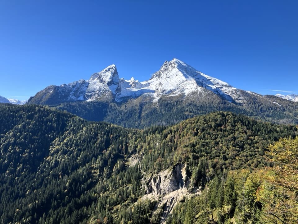
The broad, pale debris bed beside the route is the Wimbachgries, built from Ramsau dolomite that breaks down at the mountain base. The National Park describes deposits as much as 300 m deep. Snowmelt and heavy rain can carry the loose rock farther down the valley, where pioneer plants take hold for a time. Forested slopes and the rock-filled valley give way to views toward the Watzmann and Hochkalter as you walk uphill.
At about 937 m, the lodge was built in 1784 by Joseph Conrad von Schroffenberg, the last prince-provost of Berchtesgaden. It later served as a royal hunting lodge and is now a seasonal mountain restaurant without overnight lodging. A 25 m natural marble run on the playground makes a useful extra stop with children; wooden balls are available at the inn. After a break, return to Wimbachbrücke on the same route. Dogs are allowed in the National Park but must stay on leash.
Wildlife
 14 sightingsBearded VultureMost seen around noonSighting map
 29 sightingsGolden EagleMost seen around noonSighting map
 22 sightingsRed DeerMost seen around 6 PMSighting map
 131 sightingsAlpine ChamoisMost seen around 5 PMSighting map
 65 sightingsAlpine SalamanderMost seen around 11 AMSighting map
 63 sightingsAlpine MarmotMost seen around 9 AMSighting map
Sighting maps show where each species has been reported across Berchtesgaden. Wildlife moves, so no sighting is guaranteed.
Keep exploring
 ModerateWimbachklamm-Rundweg2.1 km · 1 hr · At the trailheadA short gorge loop with a one-way waterfall walk and steep return.
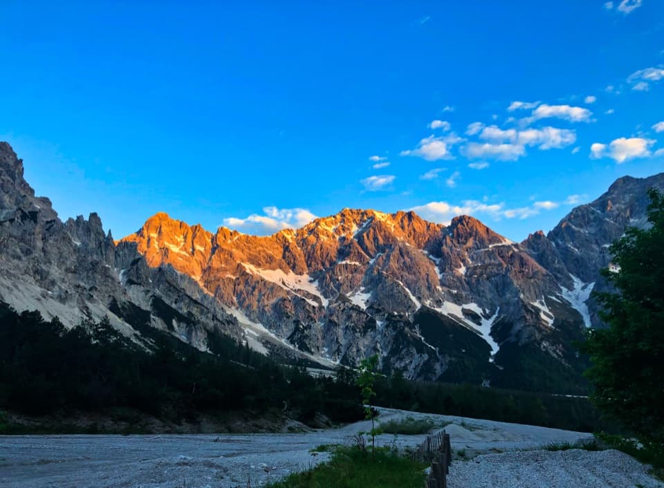 ModerateWimbachgrieshütte Trail17 km · 5.5 hr · At the trailheadFollow the dolomite scree to a high alpine hut
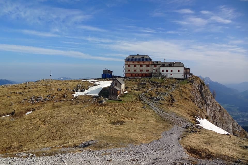 ChallengingWatzmannhaus from Wimbachbrücke13.9 km · 8 hr · At the trailheadA steep 1,270-meter climb to the hut beneath the Watzmann.
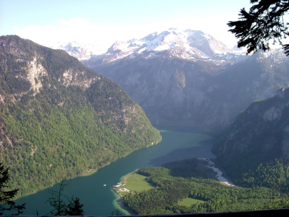 ChallengingKühroint – Archenkanzel Trail15.3 km · 5.5 hr · At the trailheadA steep climb to Kühroint and a huge Königssee view.
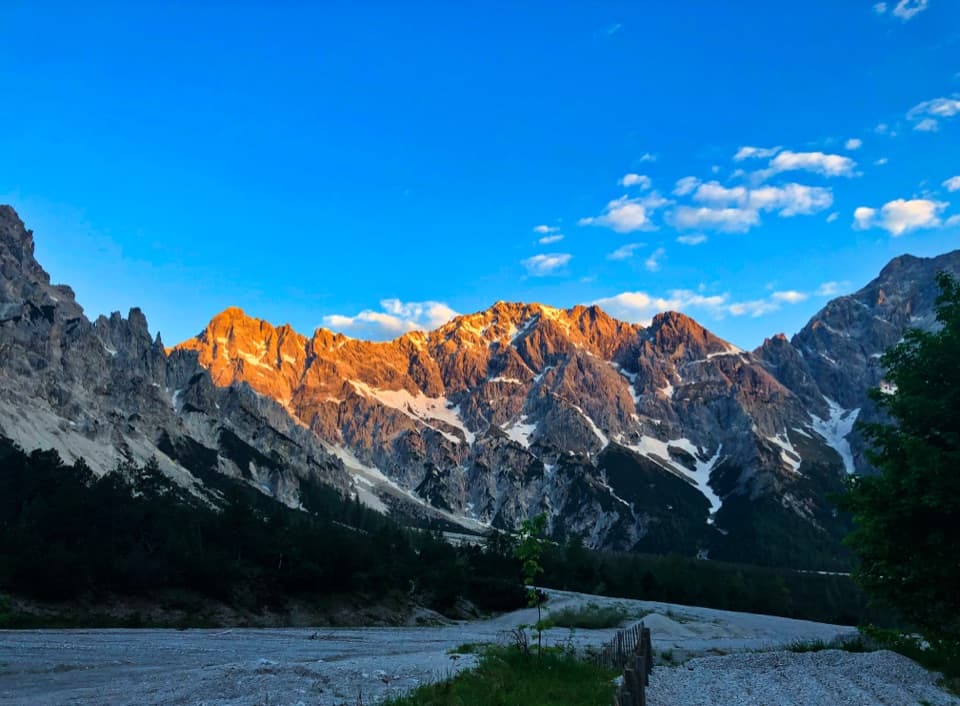 ChallengingRund um den Watzmann via Trischübel19.9 km · 10 hr · At the trailheadA 20 km crossing from a scree valley to Königssee.
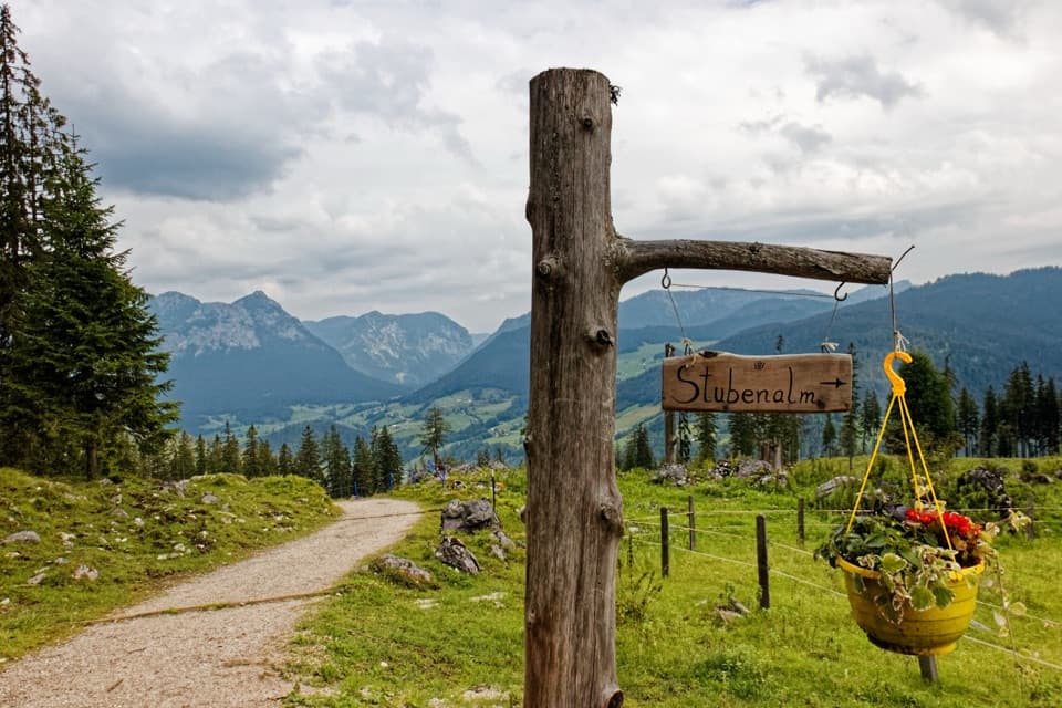 ChallengingMitterkaseralm am Watzmann via Stubenalm9.3 km · 4.5 hr · At the trailheadA steep forest climb to a pasture beneath Watzmannhaus.
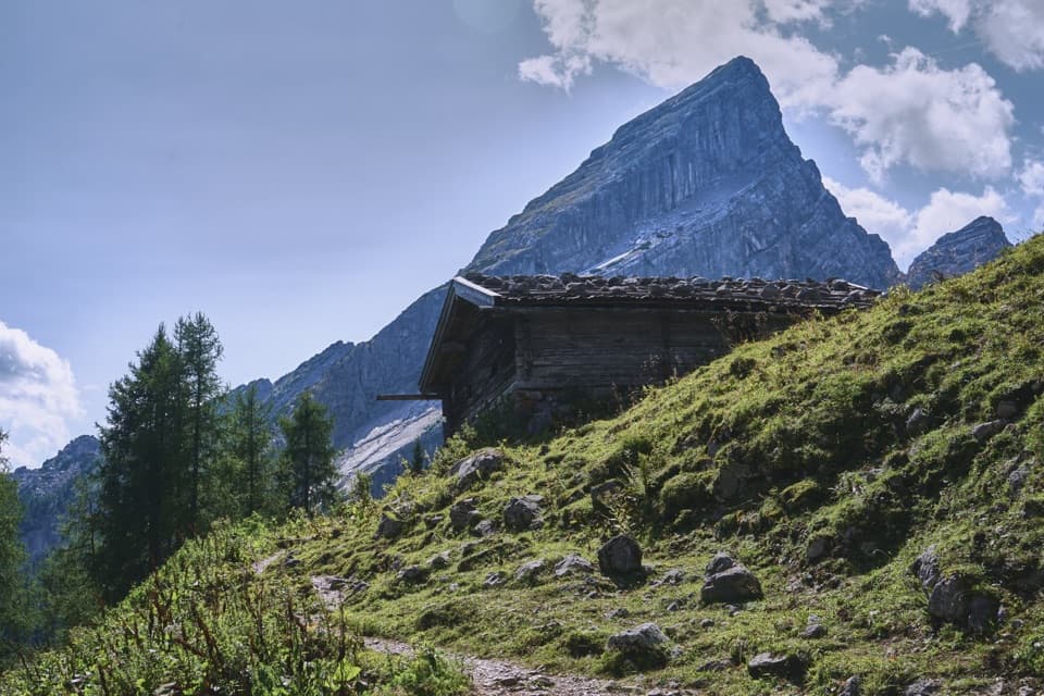 ChallengingFalzalm from Wimbachbrücke11.4 km · 6.5 hr · At the trailheadA steep climb to a hut framed by the Watzmann-Frau.ModerateStubenalm6 km · 4 hr · At the trailheadA forest climb to a working alpine pasture above Ramsau.
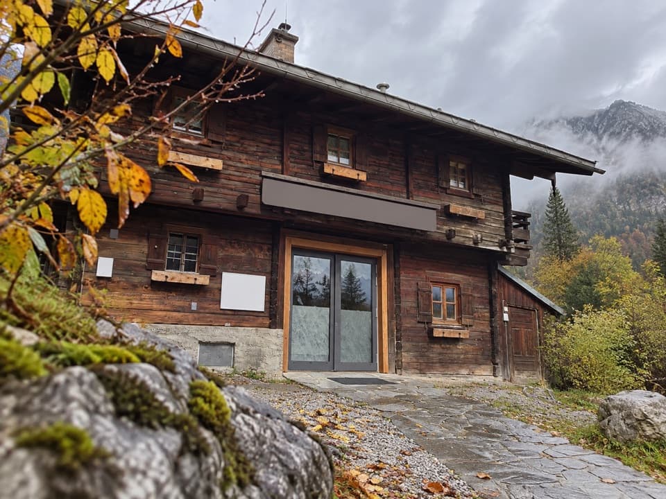 Visitor center · At the trailheadWimbachbrücke National Park Information PointA free geology exhibit at the start of Wimbachtal hikes.
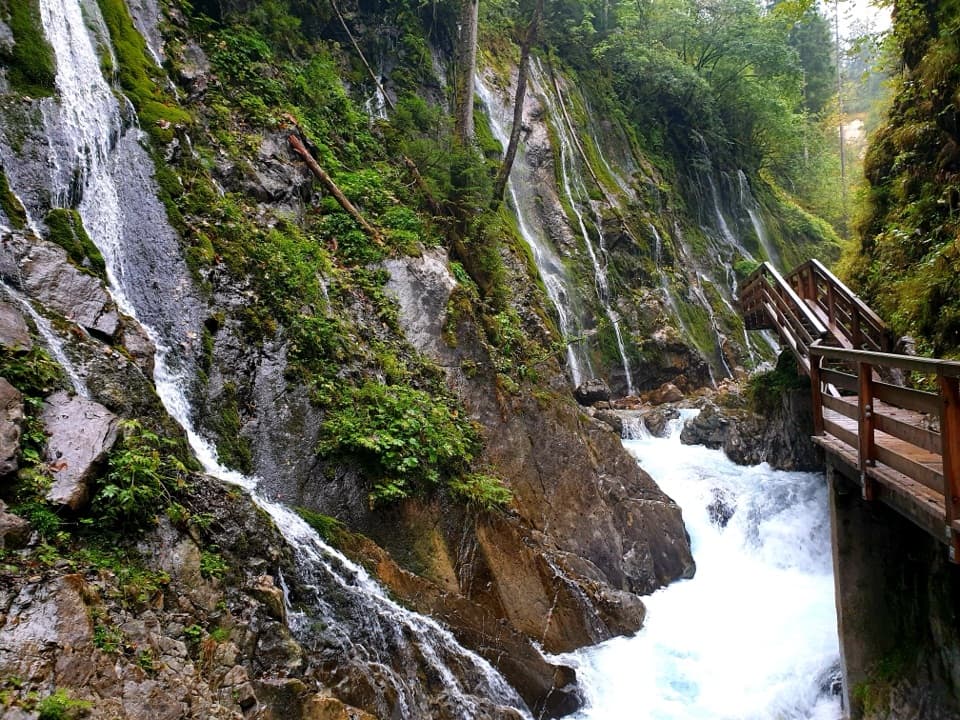 Sight · 0.7 km awayWimbachklammA short, ticketed boardwalk beside waterfalls and mossy rock.
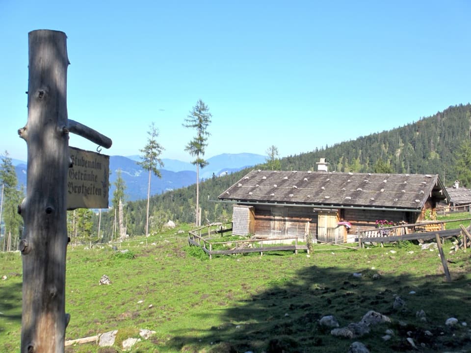 Food · 1.7 km awayStubenalmBrotzeit and Ramsau views reward the climb to this hut
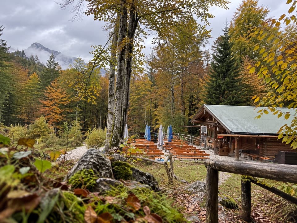 Restaurant · 3 km awayGrünsteinhütteA terrace stop for Kaiserschmarrn below Grünstein's summit.
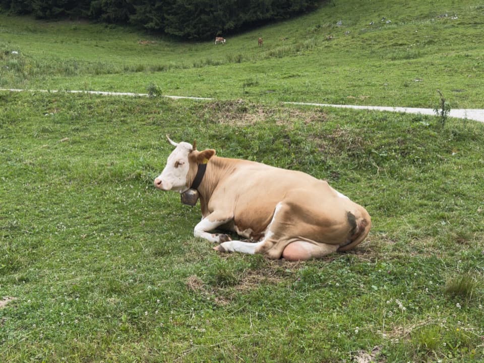 Food · 3 km awaySchapbachalmHouse-made alpine cheese with the Watzmann close overhead.
 Food · 3.1 km awayMitterkaseralm am WatzmannA mountain-hut break on the climb to Watzmannhaus.
 Sight · 3.2 km awayGrünstein Summit ViewpointA steep climb for Watzmann, Königssee and a hut stop below.Lodging · 3.6 km awayWatzmannhausA long climb to a classic Watzmann hut and overnight base.
Parkwolf’s Berchtesgaden ranking

The audio tour guide for the drive, plus offline maps, trails, and wildlife heatmaps for when the signal drops.




