
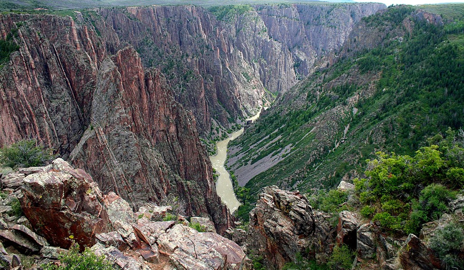
All Black Canyon of the Gunnison places
29 places
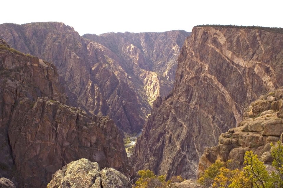 1Painted Wall OverlookA 2,250-foot cliff marked by pale pegmatite veins.
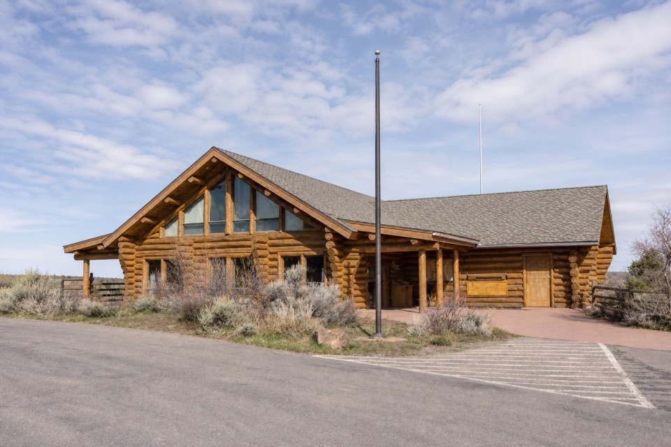 South Rim Visitor CenterStart here for ranger advice, canyon context, and a quick view.
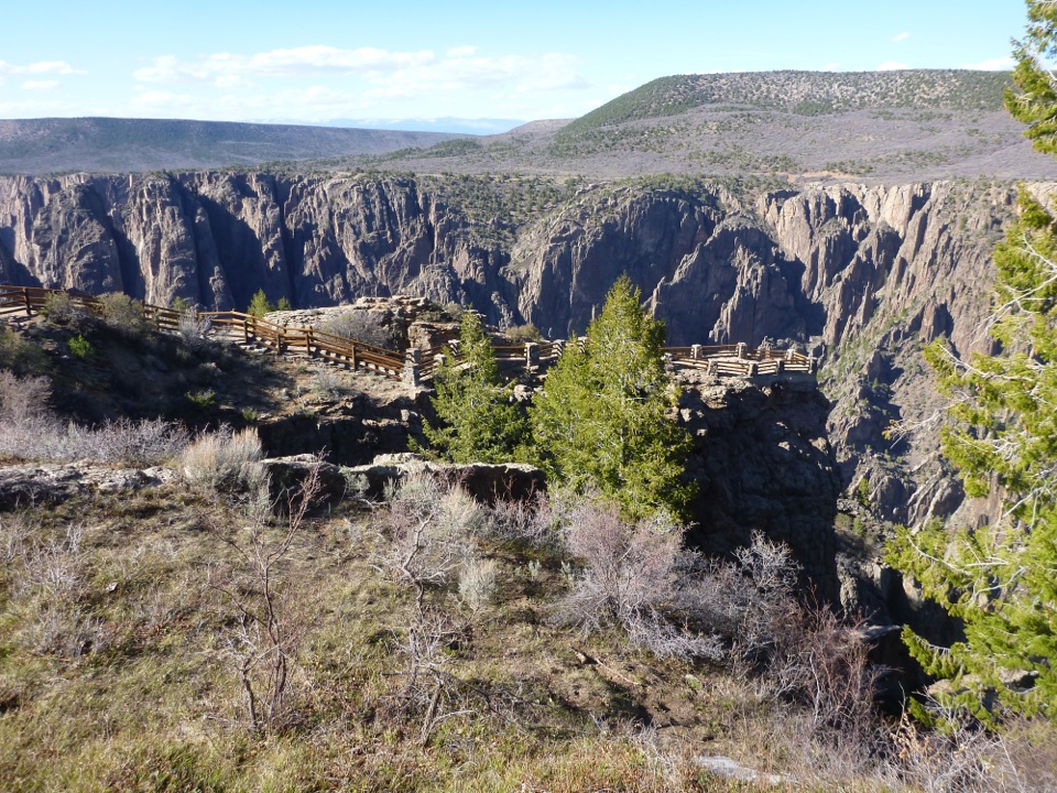 2Gunnison Point OverlookA quick first look into the canyon's dark, jagged walls.
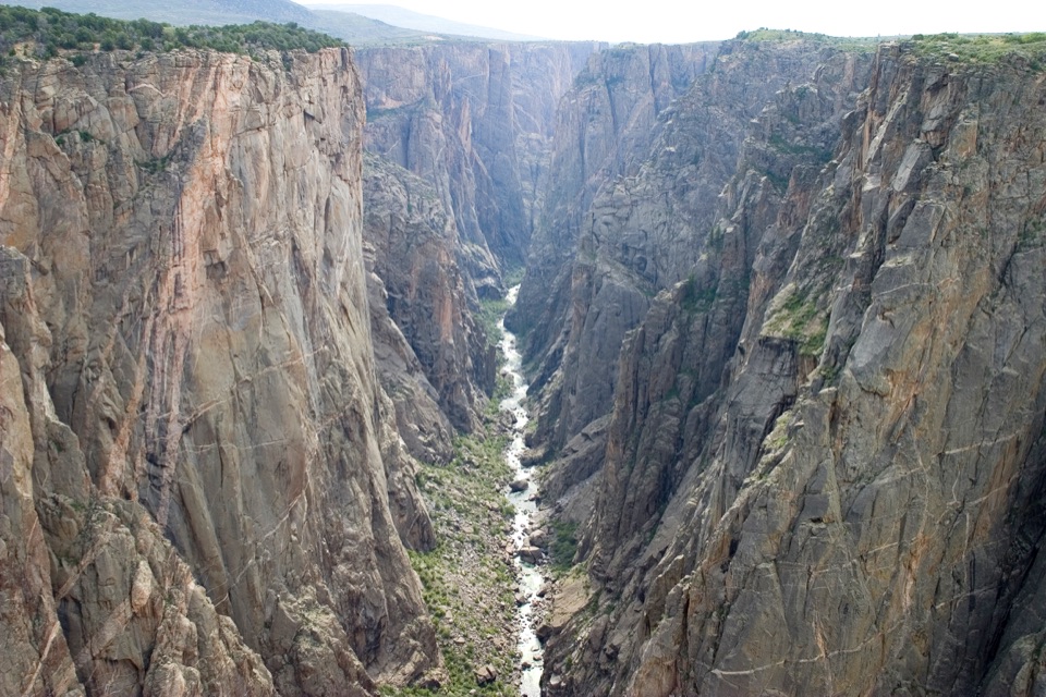 3Chasm View Overlook (South Rim)A short walk to the Gunnison, 1,820 feet below.
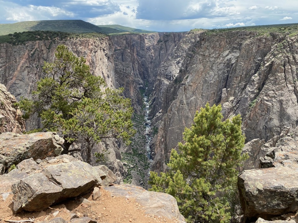 4Exclamation PointA 1.6-mile hike each way to a close canyon view.
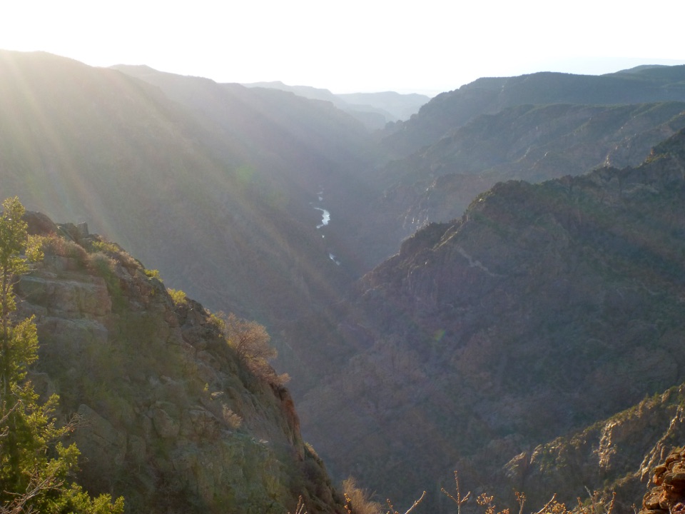 5Sunset View OverlookAn easy overlook and picnic area on the South Rim Drive.
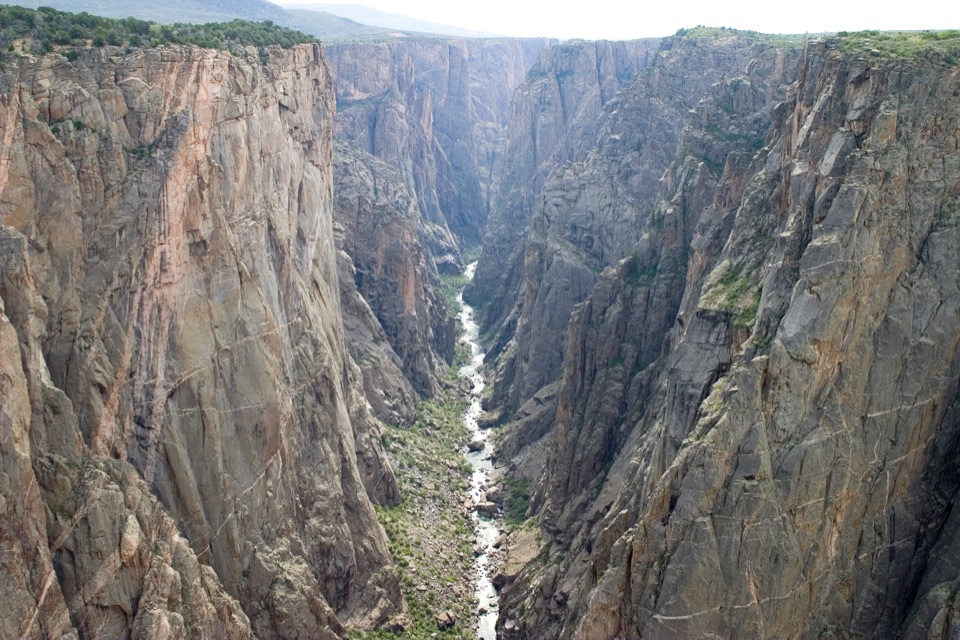 6North Chasm ViewThe canyon narrows to 40 feet at the river below.
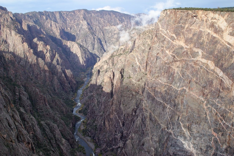 7Cedar Point OverlookTwo rim stops frame the Gunnison River and Painted Wall.
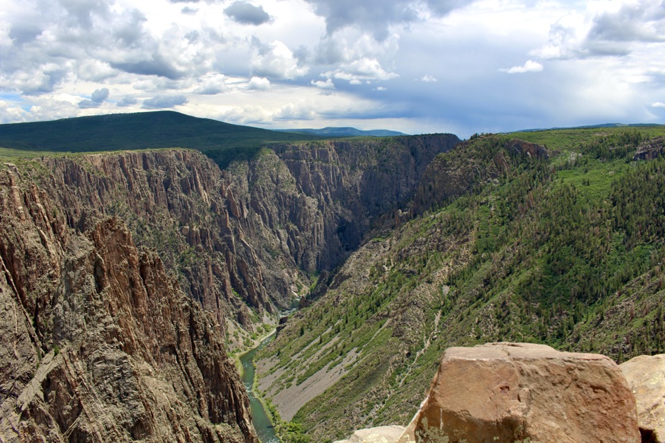 8Pulpit Rock OverlookStep onto a natural ledge above the Gunnison River.
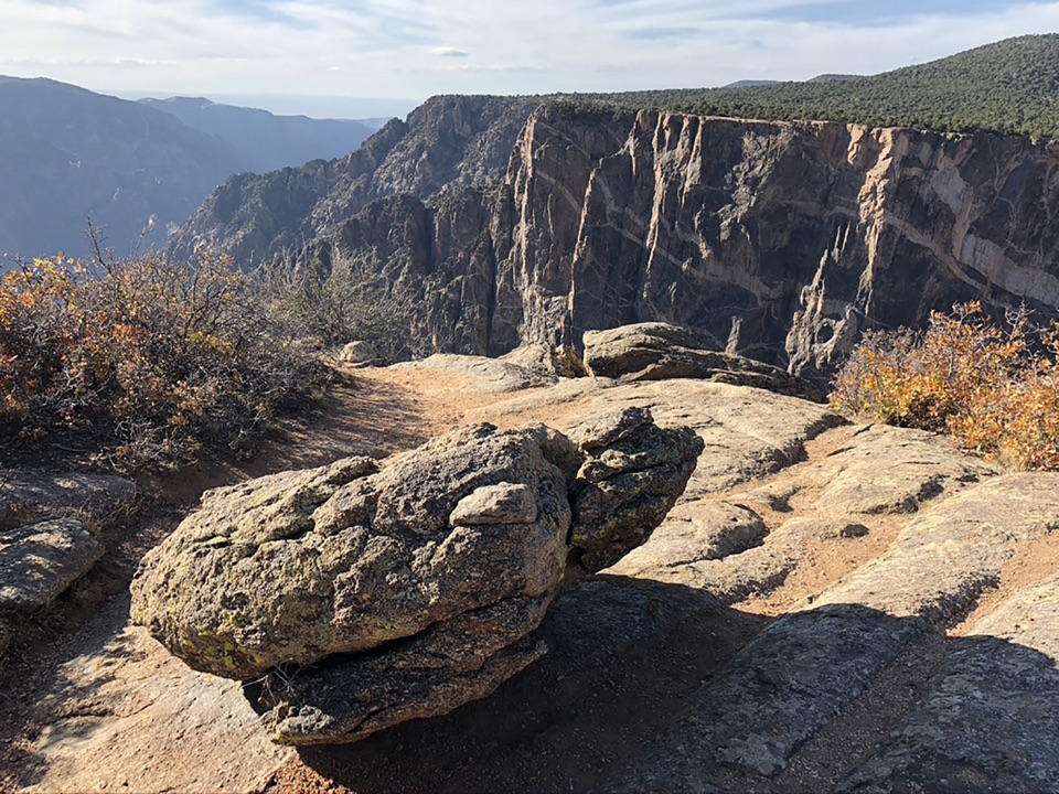 9Dragon Point OverlookA west-facing overlook that makes sunset a smart time to stop.
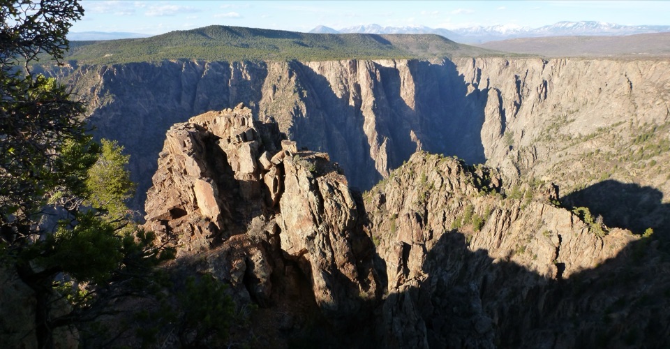 10Warner PointA canyon-and-river view after a 1.6-mile round-trip hike.
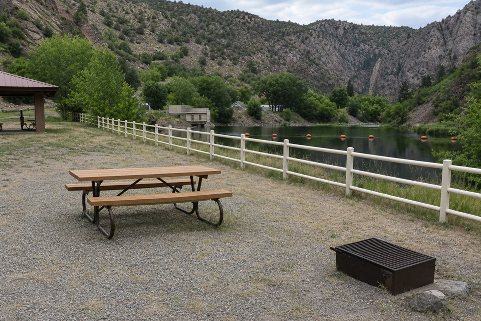 East Portal Picnic AreaA riverside picnic with a 5.8-mile engineering story.
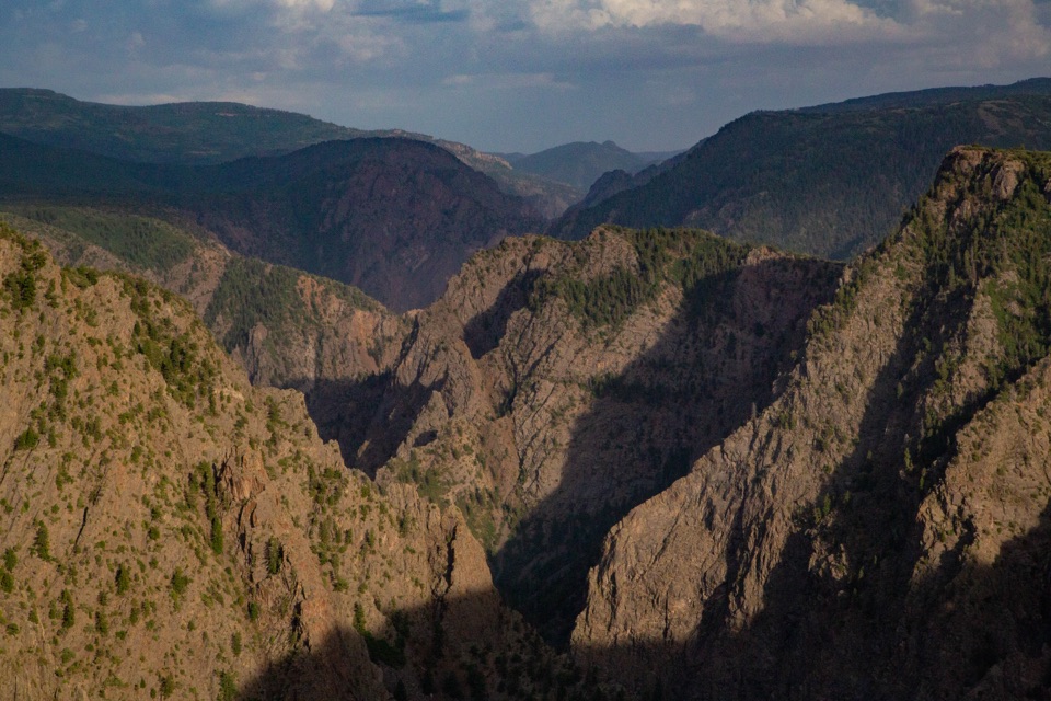 11Tomichi OverlookAn easy first look down the canyon before the drive gets dramatic.
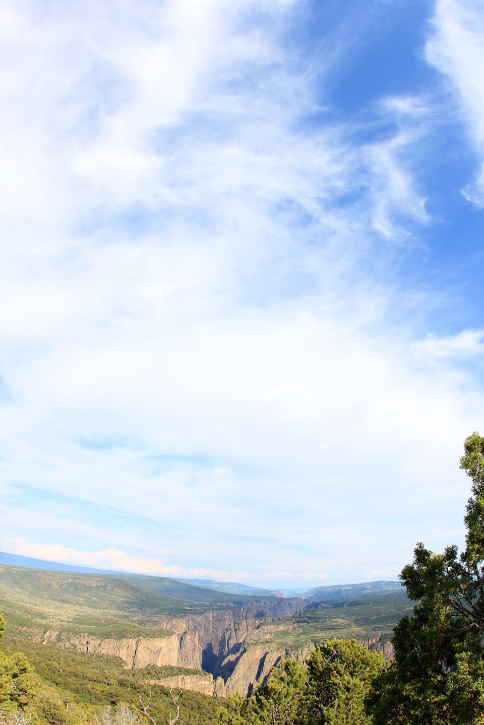 12Green MountainGreen Mountain's long North Rim walk ends in a broad canyon panorama.
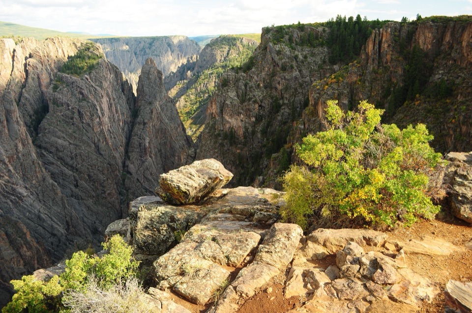 13Cross Fissures OverlookTake the short walk for a closer look at the canyon’s fractures.
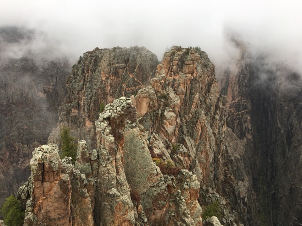 14Rock Point OverlookShort walk, narrow point, and Long Draw across the river.
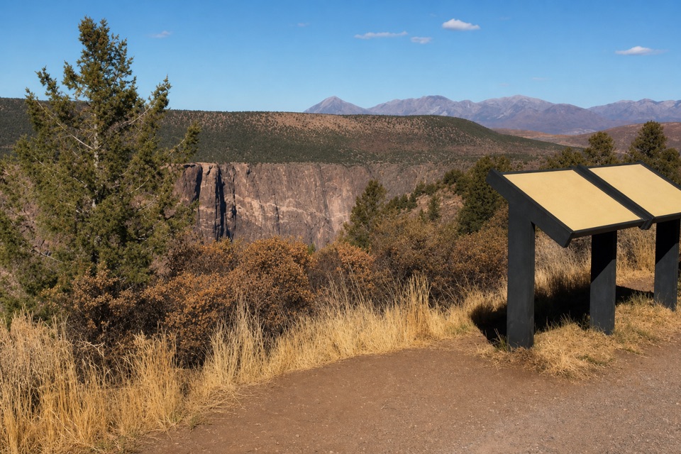 15High Point OverlookThe last drive-up stop pairs canyon views with a picnic area.
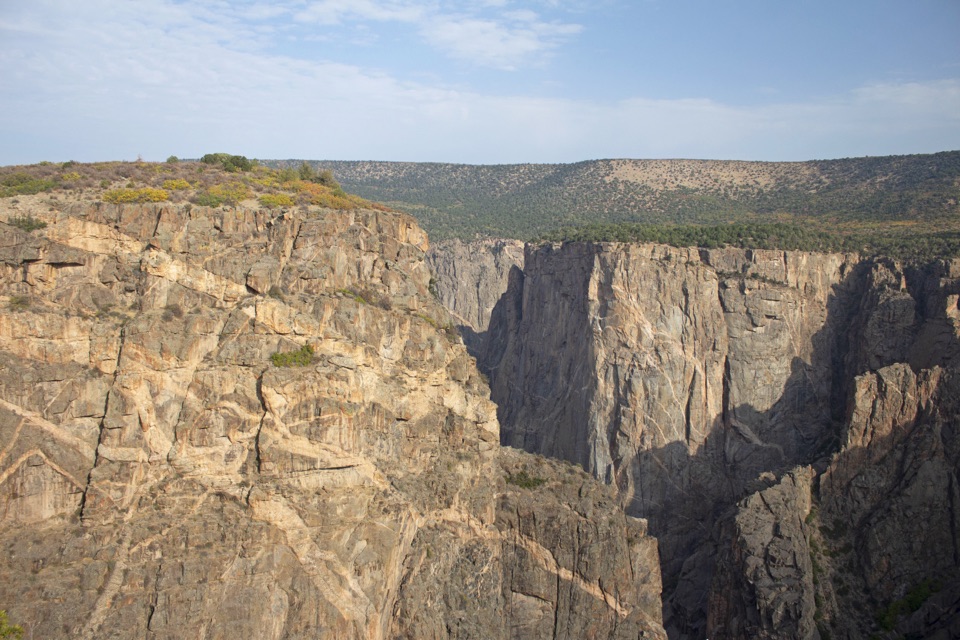 16Devil's Lookout OverlookA short unpaved walk opens onto the Gunnison River gorge.
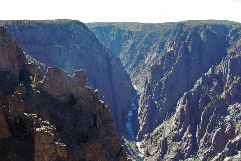 17Kneeling Camel OverlookPick out a camel-shaped rock above a quick, steep canyon view.
 18Narrows OverlookSee where the canyon narrows to 40 feet at the river.
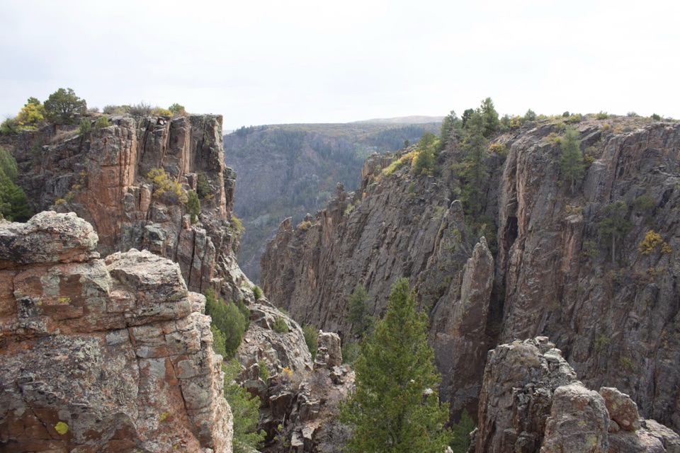 19Island Peaks OverlookA short walk brings the fractured Island Peaks into view.
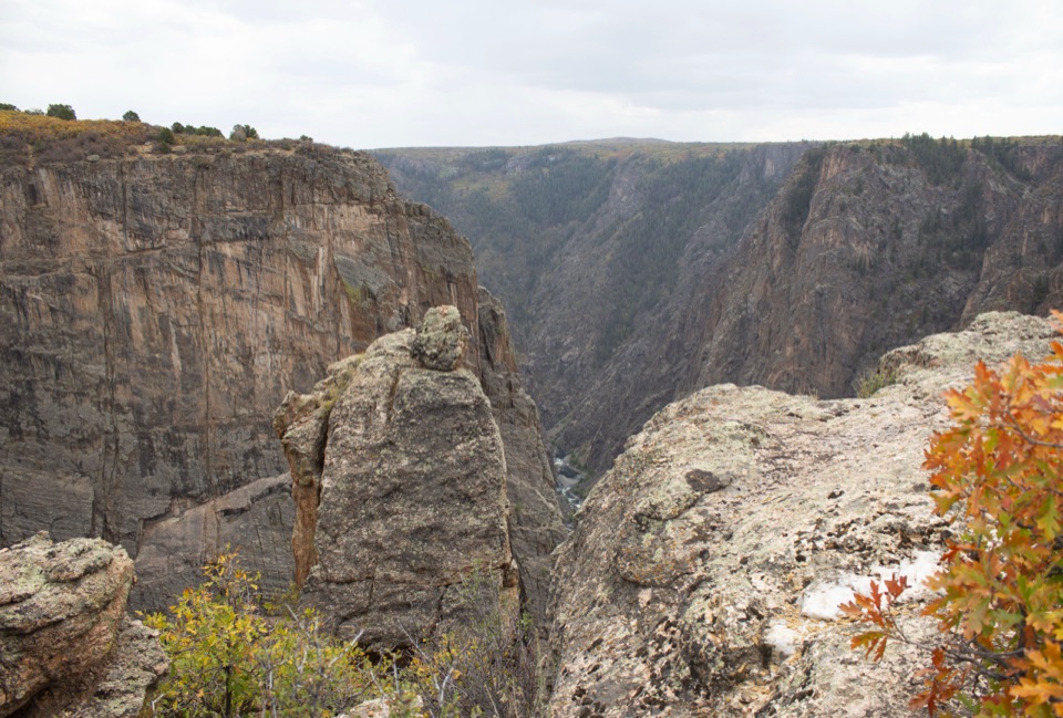 20Balanced Rock OverlookA short walk to a balanced boulder above the river.
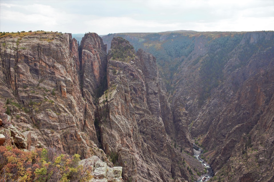 21Big Island OverlookA canyon view of Big Island and the river, steps from parking.
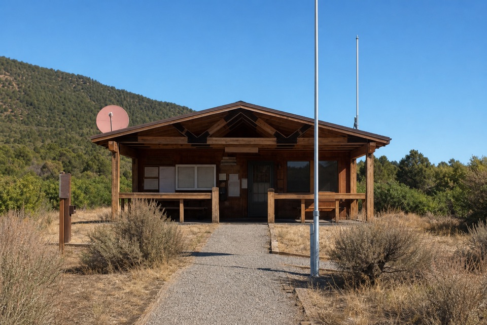 North Rim Ranger StationFee and permit kiosks sit beside the North Vista trailhead.
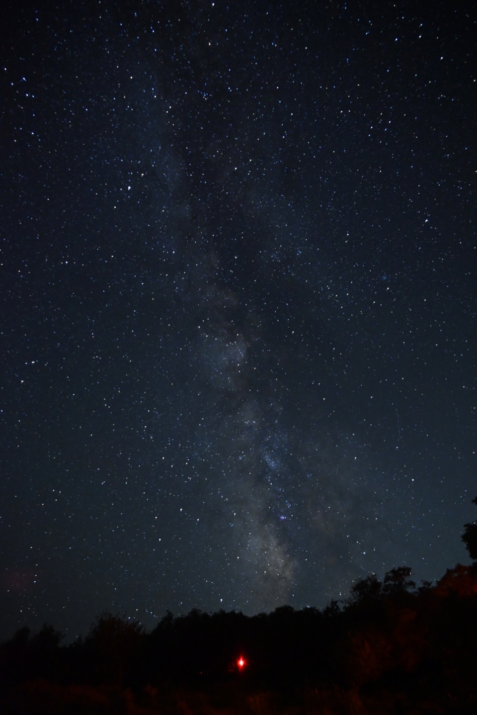 South Rim CampgroundA high-elevation base one mile from the South Rim Visitor Center.
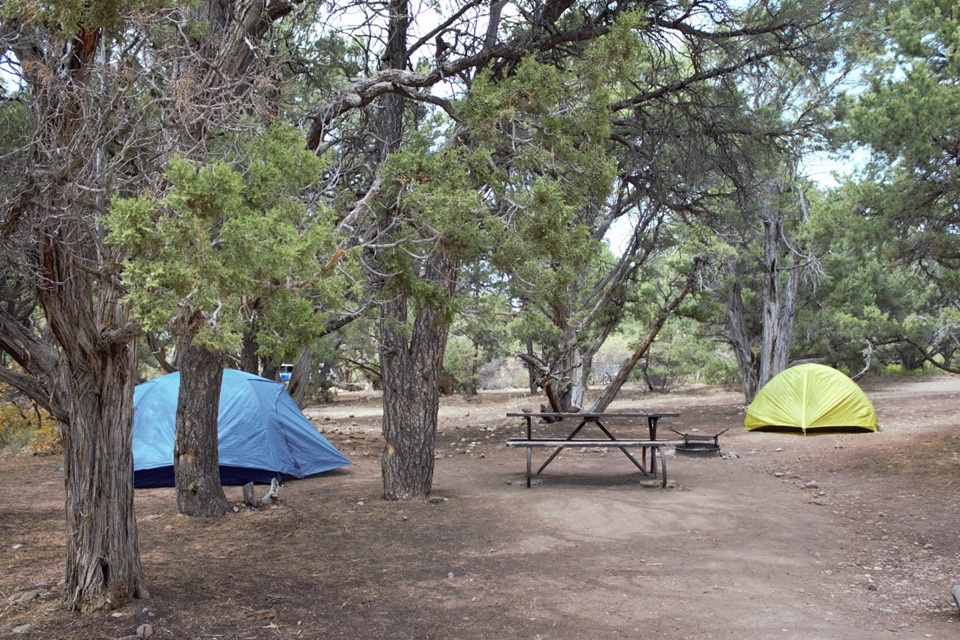 North Rim CampgroundA remote North Rim campground beside the short Chasm View loop.
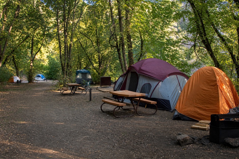 East Portal CampgroundA shaded riverside camp reached by a steep, winding road.
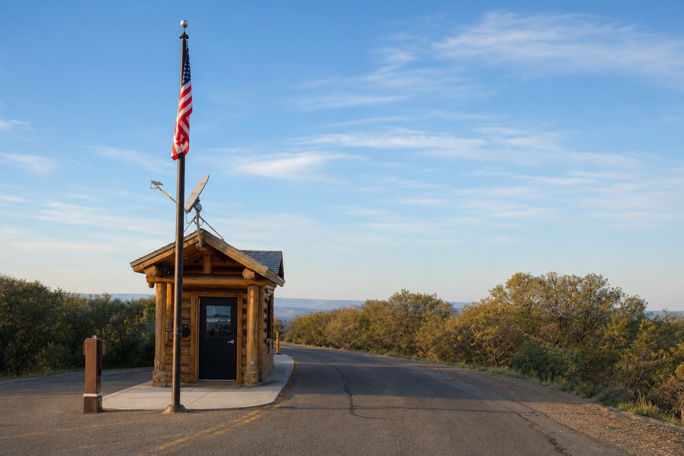 South Rim Entrance StationSort your park pass here before the South Rim drive.
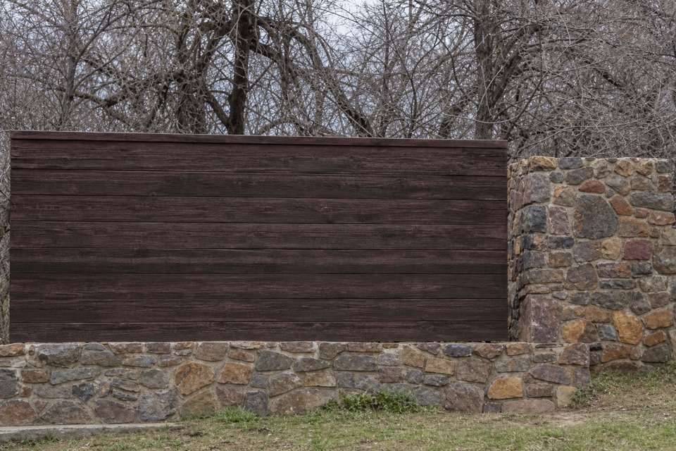 22Black Canyon of the Gunnison National Park Entrance Sign (South Rim)A wood-and-stone welcome sign on the South Rim approach.
The highest, rockiest slopes around here are a summer buffet for grizzly bears.
Black Canyon of the Gunnison Tour Guide
Black Canyon of the Gunnison, narrated.
Parkwolf is a GPS audio tour guide for Black Canyon of the Gunnison National Park. As you drive, it chimes in with what’s ahead: hidden gems, upcoming stops, history, geology, and wildlife, right through your car’s speakers.
Recorded for this place
Painted Wall Overlook0:00 / 0:30
“You're coming up on Painted Wall Overlook, facing Colorado's tallest cliff. If you're choosing just a few South Rim stops, keep this one. It's about two hundred yards from the parking area on an unpaved path.”
Plays as you drive up to Painted Wall Overlook in the Parkwolf Black Canyon of the Gunnison Tour Guide.
More stories near here in the app
- South Rim Chasm View
- Cedar Point and the Plant Trail
- North Chasm View from the Campground
- North Vista Trail to Exclamation Point
- 23 audio storiesacross Black Canyon of the Gunnison’s roads, triggered by GPS as you drive
- Wildlife heatmapsfor Bighorn Sheep, Mule Deer, Red-tailed Hawk, and 13 more
- Works offlinemaps, 13 trails, 29 places, and audio download before you lose signal
- CarPlay readysimple controls built for the drive
“Fantastic app with many points of information… It’s great to just turn on while you’re driving and it gives you an audio tour of the national Park. We love it!!!!”

