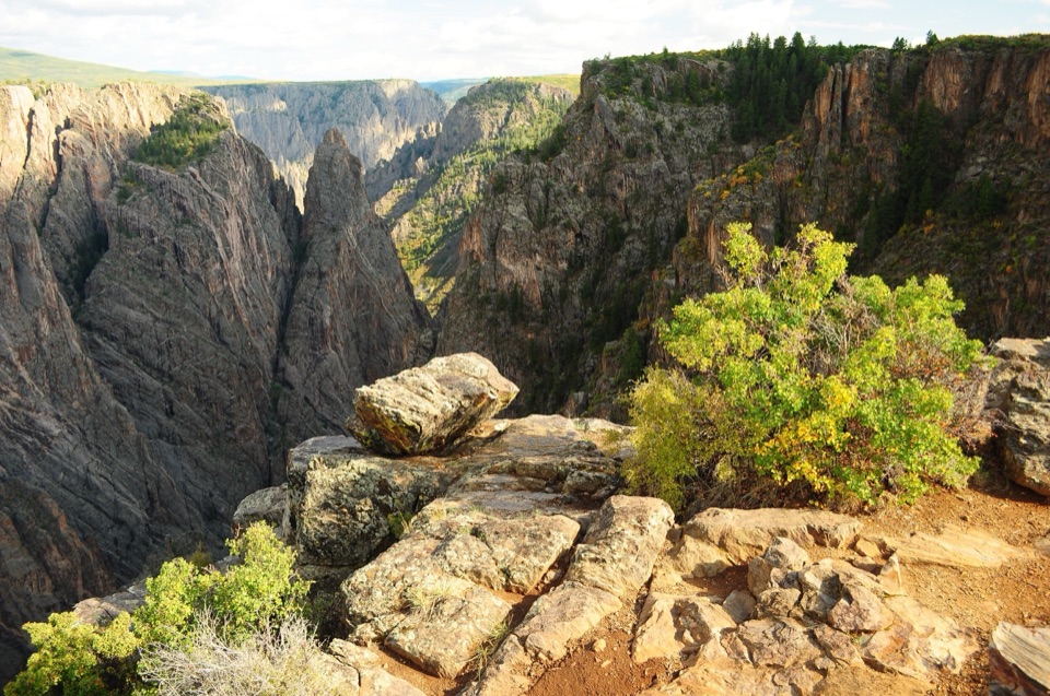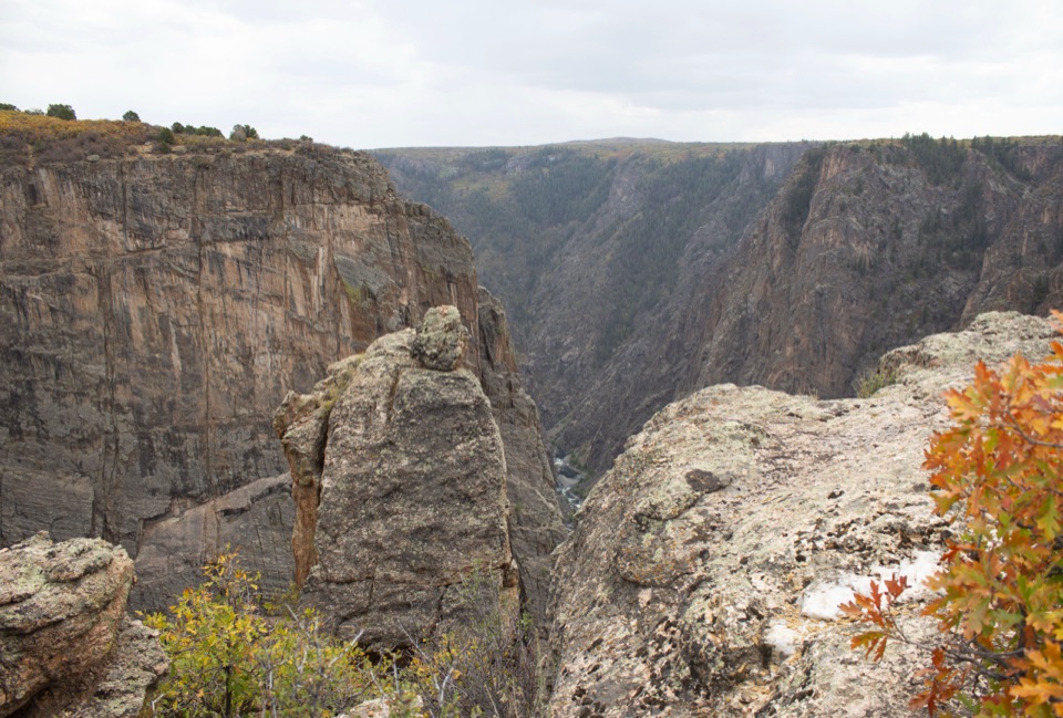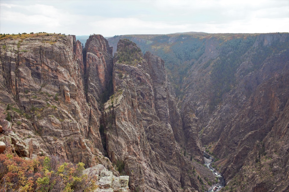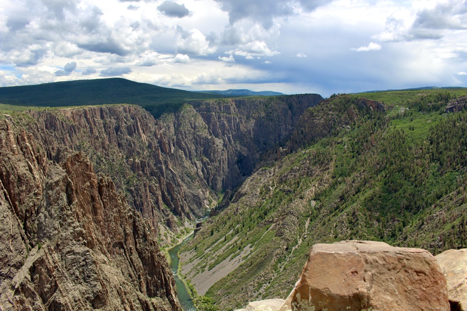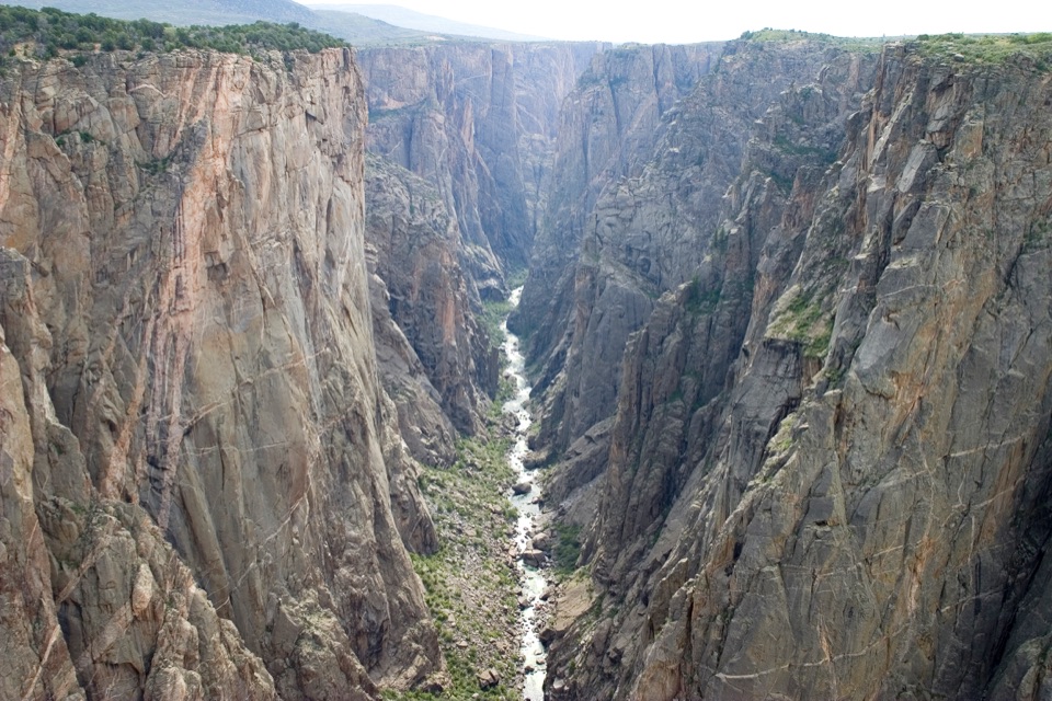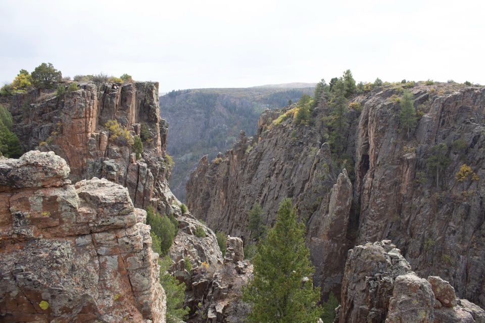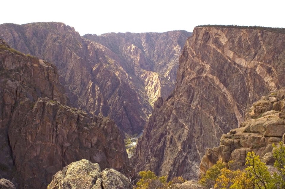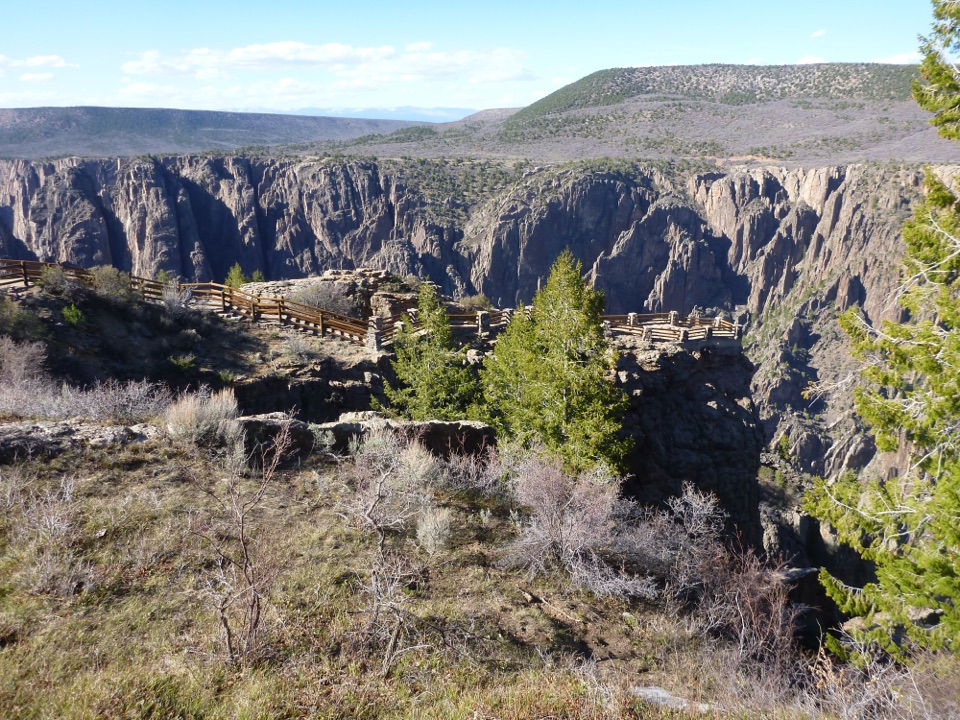
Rock Point Overlook in Black Canyon of the Gunnison National Park

Sight · Black Canyon of the Gunnison National Park

Rock Point Overlook

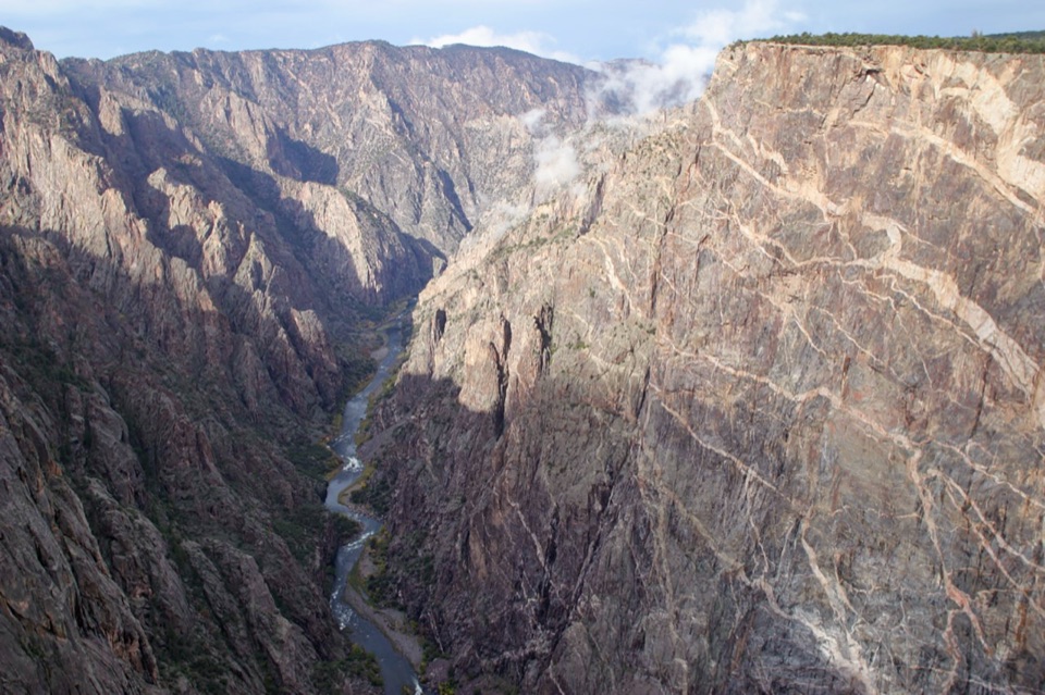
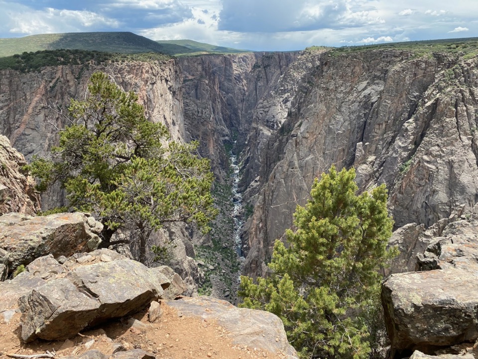
Short walk, narrow point, and Long Draw across the river.

Photo: National Park Service
Type
Sight
Nearest trail
0.9 mi
Audio stories
13 nearby
  • Parking
  • Scenic viewpoint

Hear the audio tour

Cross Fissures Overlook

Overview

About Rock Point Overlook

Why stop

  • A direct view across the river toward Long Draw.

Map

Where it is

Loading the Black Canyon of the Gunnison map
Full map
SightRock Point Overlook38.57243, -107.70450
Keep this map with you offline in the Parkwolf app

Plan your stop

Before you go

3 active Black Canyon of the Gunnison alerts

  • ClosureSouth Rim Campground Partially Closed After 2025 FireSouth Rim Campground is open with only 25 non-electric sites available; some campground areas remain closed to all access because of effects from the 2025 South Rim Fire and the resulting safety and…Official details
  • ClosureTomichi Route Closed; Gunnison Route Has Burned-Area HazardsDo not enter the closed Tomichi Route or other closed or burned areas; the Gunnison Route remains hazardous because of effects from the 2025 South Rim Fire.Official details

See all 3 alerts
A park ranger sits on a dash-mounted phone, talking, as Parkwolf’s Tour Guide plays “Army Cutworm Moths: A Grizzly Bear Buffet” on Grand Loop Road below Dunraven Pass in Yellowstone
Parkwolf Tour GuideThe highest, rockiest slopes around here are a summer buffet for grizzly bears.

Black Canyon of the Gunnison Tour Guide

Your drive to Rock Point Overlook, narrated.

Parkwolf is a GPS audio tour guide for Black Canyon of the Gunnison National Park. As you drive, it chimes in with what’s ahead: hidden gems, upcoming stops, history, geology, and wildlife, right through your car’s speakers.

Recorded for this area

Cross Fissures Overlook
0:00 / 0:24
“You're nearing Cross Fissures Overlook, where deep cracks split the cliff into separate rock masses. It's about three hundred and fifty yards each way on an unpaved path.”

Plays on the road 0.2 mi from Rock Point Overlook in the Parkwolf Black Canyon of the Gunnison Tour Guide.

More stories near here in the app

  • Narrows and Balanced Rock Overlooks
  • Pulpit Rock Overlook
  • Big Island Overlook
  • South Rim Chasm View
  • 23 audio storiesacross Black Canyon of the Gunnison’s roads, triggered by GPS as you drive
  • Wildlife heatmapsfor Bighorn Sheep, Mule Deer, Red-tailed Hawk, and 13 more
  • Works offlinemaps, 13 trails, 29 places, and audio download before you lose signal
  • CarPlay readysimple controls built for the drive
★★★★★
“Fantastic app with many points of information… It’s great to just turn on while you’re driving and it gives you an audio tour of the national Park. We love it!!!!”
JMJamesApp Store review
Download Parkwolf on the App StoreGet Parkwolf on Google Play

4.7 from 8,600+ ratings

Guide

More about Rock Point Overlook

A short walk off South Rim RoadRock Point Overlook is a small cliffside viewpoint on the South Rim, reached by an unpaved…

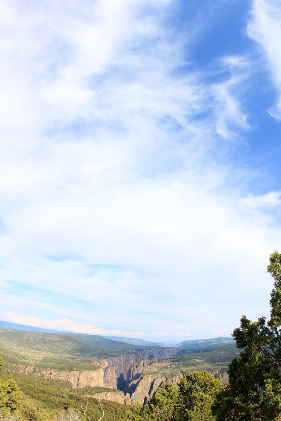
Rock Point Overlook is a small cliffside viewpoint on the South Rim, reached by an unpaved 234-yard walk from the road. Keep it in your drive if you want a quick look across the Gunnison toward Long Draw; the trailhead parking is beside South Rim Road, roughly 2.6 miles west of the visitor center. The South Rim stays open year-round, though services are limited in winter and early spring.

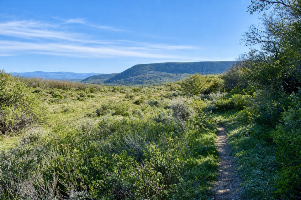
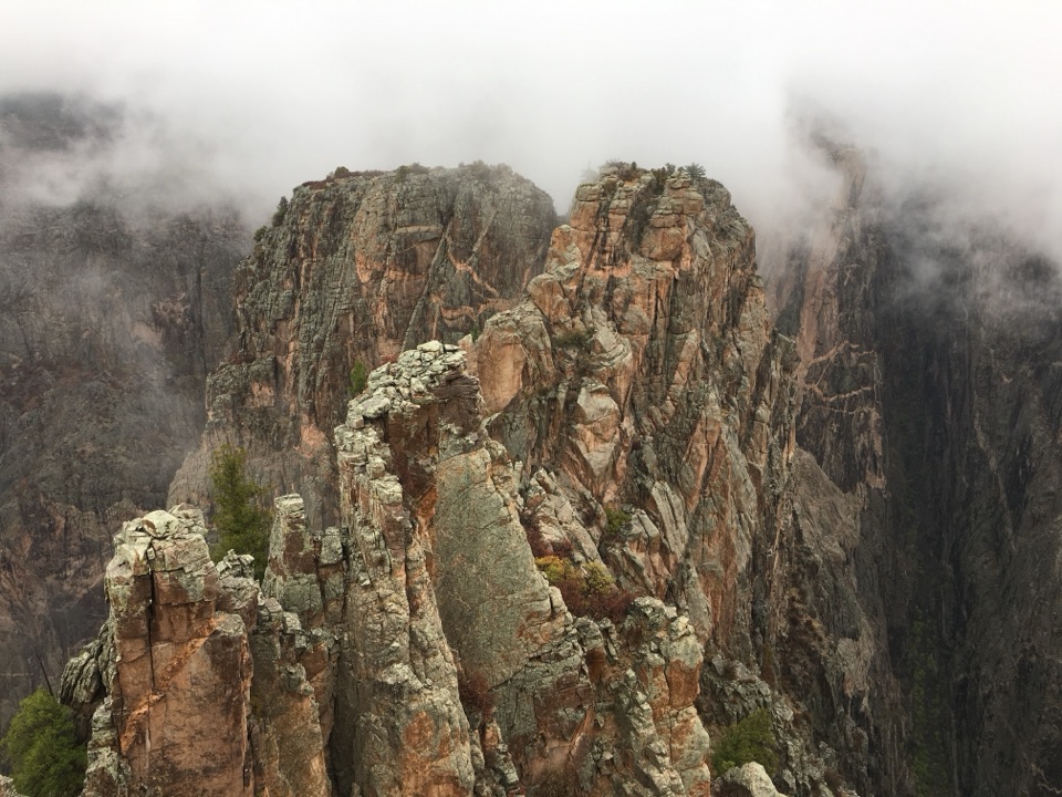
The point above the canyonThe path winds through oak brush and opens onto a rocky point that projects toward the canyon.

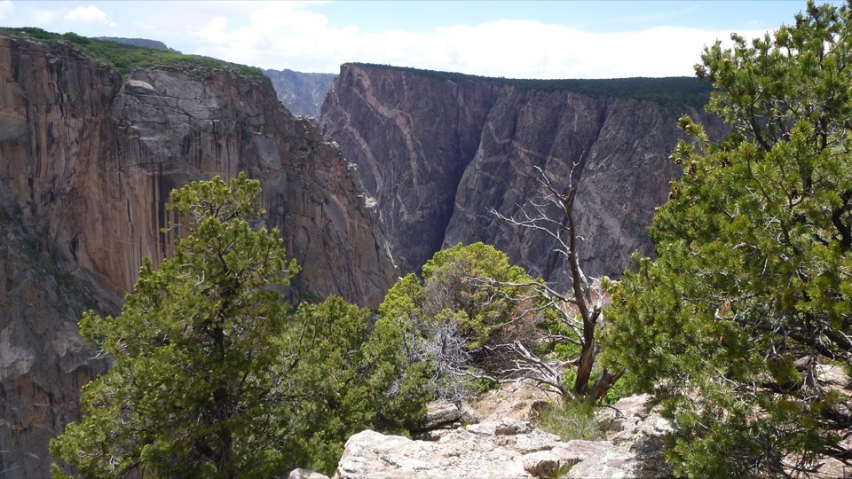
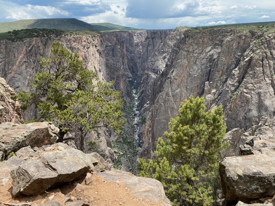
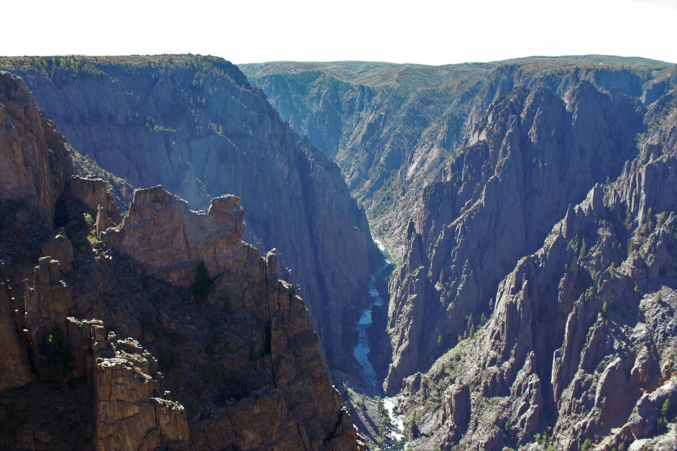
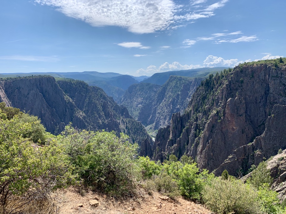
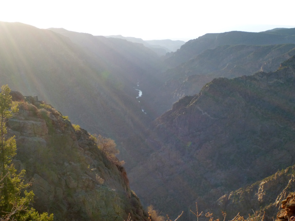
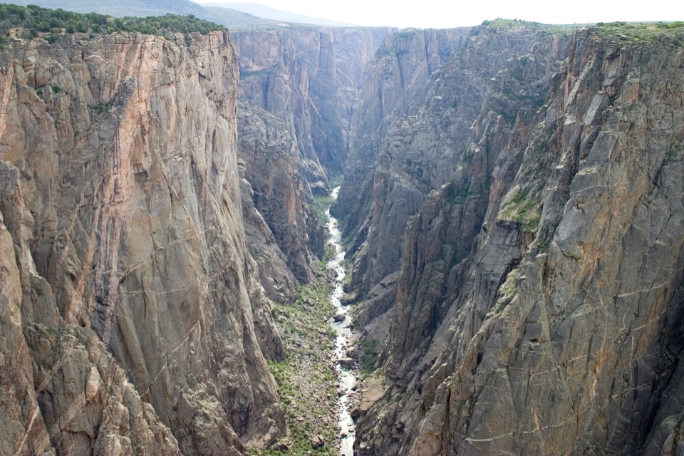
The path winds through oak brush and opens onto a rocky point that projects toward the canyon. Face northwest: Long Draw cuts down the far wall across the river, framed between Devil's Lookout to the north and Big Island to the south. Echo Canyon drops below and to the right from this angle.

Find a foregroundA weathered dead tree sits among the rocks in front of the dark canyon walls.

A weathered dead tree sits among the rocks in front of the dark canyon walls. Include it in the frame to give the distant cliffs a sense of scale; the river and far rim make a wide landscape view from the point.

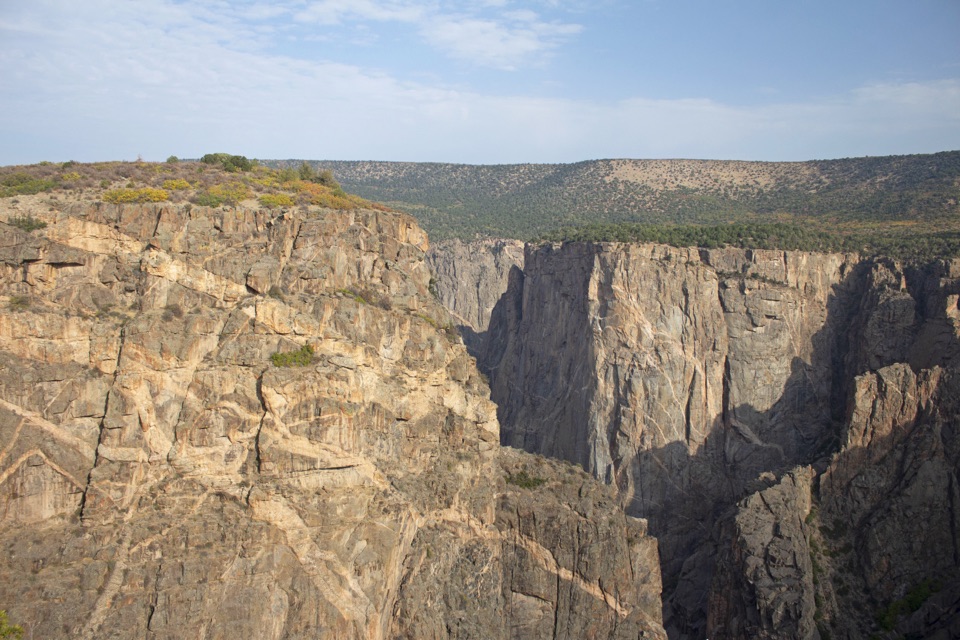
Why the walls look blackThe canyon averages about 2,000 feet deep, and at The Narrows it is only 1,750 feet wide.

The canyon averages about 2,000 feet deep, and at The Narrows it is only 1,750 feet wide. Those dark walls expose ancient Precambrian rocks, including metamorphic and volcanic stone. The Gunnison was already following a course through softer rock before uplift and erosion cut that route into the much harder ancient rocks below.

Wildlife

Wildlife in Black Canyon of the Gunnison

All Black Canyon of the Gunnison wildlife maps

Sighting maps show where each species has been reported across Black Canyon of the Gunnison. Wildlife moves, so no sighting is guaranteed.

Keep exploring

Near Rock Point Overlook

See it all on the map

Trails nearby

More stops nearby

Parkwolf’s Black Canyon of the Gunnison ranking

Top sights in Black Canyon of the Gunnison

All 29 places
  1. 1Painted Wall OverlookSight
  2. 2Gunnison Point OverlookSight
  3. 3Chasm View Overlook (South Rim)Sight
  4. 4Exclamation PointSight
  5. 5Sunset View OverlookSight
  6. 6North Chasm ViewSight

Take Parkwolf to Black Canyon of the Gunnison.

The audio tour guide for the drive, plus offline maps, trails, and wildlife heatmaps for when the signal drops.

4.7 from 8,600+ ratings

Download Parkwolf on the App StoreGet Parkwolf on Google Play