1 active Blue Mountains alert
- ClosureNational Pass closed between Valley of the Waters and Slacks StairsNational Pass is closed between Valley of the Waters and Slacks Stairs due to rockfall.Official details

Sight · Blue Mountains National Park
A short walk opens onto a rocky overlook above the Nepean
Overview
Map
Plan your stop

The highest, rockiest slopes around here are a summer buffet for grizzly bears.
Blue Mountains Tour Guide
Parkwolf is a GPS audio tour guide for Blue Mountains National Park. As you drive, it chimes in with what’s ahead: hidden gems, upcoming stops, history, geology, and wildlife, right through your car’s speakers.
See the Blue Mountains audio tourRecorded for this area
Euroka Campground and the Grassy Clearings“Up ahead is Euroka campground, with five grassy camping areas among the gum trees. Choose it for a simple bush camp, with unmarked tent spots a short walk from parking.”
Plays on the road 2.2 km from The Rock Lookout in the Parkwolf Blue Mountains Tour Guide.
More stories near here in the app
“Fantastic app with many points of information… It’s great to just turn on while you’re driving and it gives you an audio tour of the national Park. We love it!!!!”


Guide
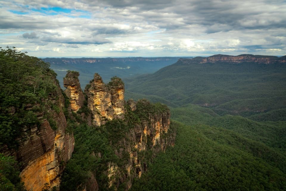
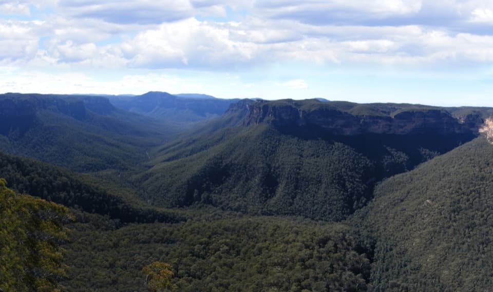
The Rock Lookout is a natural rocky ledge in the Mulgoa section of Blue Mountains National Park, looking across the Nepean River and toward the Blue Mountains. It's a worthwhile short stop for a broad view of the river valley without committing to a longer walk. From the car park, the approach is only a few hundred metres.
Drive to the end of Fairlight Road; the last stretch is unsealed gravel and can be rough. The agency lists a car park and picnic area. The short walk includes steps and uneven ground, so it isn't an accessible path. The separate Rileys Mountain track is a 5 km return walk through swampy heath and eucalyptus forest; you don't need to take it to reach the lookout.
The rock edge is unfenced, so keep children well back and take care choosing where to stand. For a photo, keep the rocky shelf in the foreground and follow the Nepean between the wooded ridges; including both ledge and river gives the view its scale.
Wildlife
 58 sightingsGrey KangarooMost seen around 6 AMSighting map
 43 sightingsWombatMost seen around 6 PMSighting map
 18 sightingsRed-necked WallabyMost seen around 6 PMSighting map
 54 sightingsSwamp WallabyMost seen around 7 AMSighting map
 24 sightingsBrushtail PossumMost seen around 7 PMSighting map
 31 sightingsRing-tailed PossumMost seen around 7 PMSighting map
Sighting maps show where each species has been reported across Blue Mountains. Wildlife moves, so no sighting is guaranteed.
Keep exploring
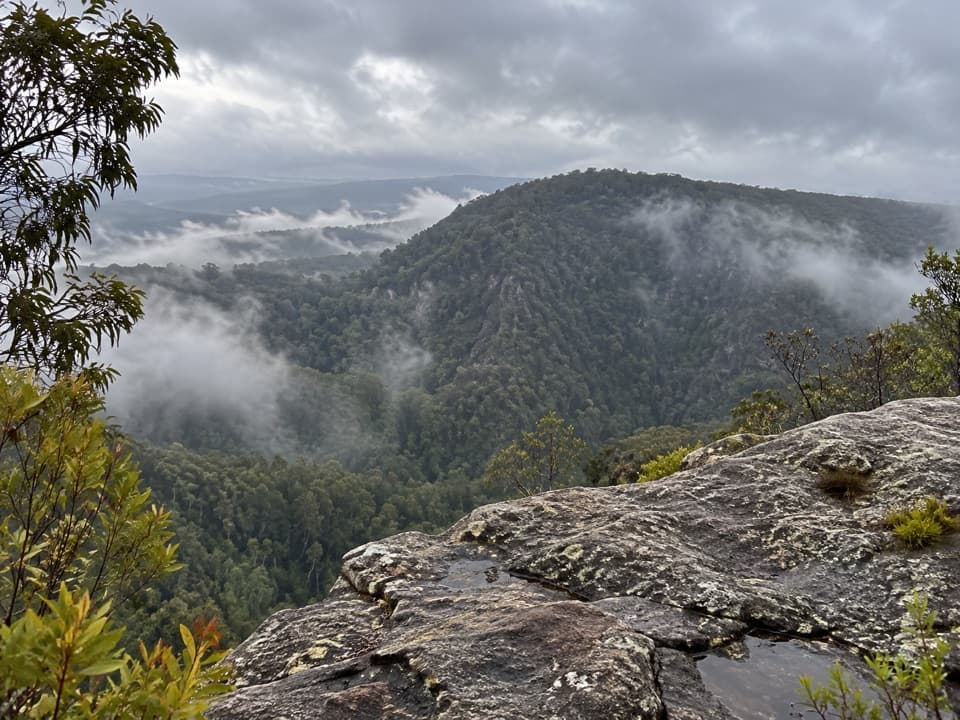 EasyRileys Mountain Trail5 km · 1.5 hr · 0.1 km awayA short ridge walk to an unfenced Nepean River lookout.
 ModerateNepean River walking track1.8 km · 38 min · 2.1 km awayA quick gorge loop to the Nepean, with a steep climb back.
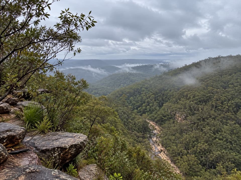 EasyTunnel View walking track0.5 km · 25 min · 3.7 km awayA short walk to a broad valley and two 1911 rail tunnels.
 ChallengingJack Evans walking track2.6 km · 1 hr · 4.2 km awayA steep descent to Erskine Creek's deep swimming holes.
 ModerateRed Hands Cave walking track8 km · 2 hr · 4.4 km awayA creekside loop to a sandstone shelter layered with hand stencils.
 ModerateGlenbrook Gorge track1.4 km · 1 hr · 4.4 km awaySteep steps descend to Glenbrook Creek's rugged gorge
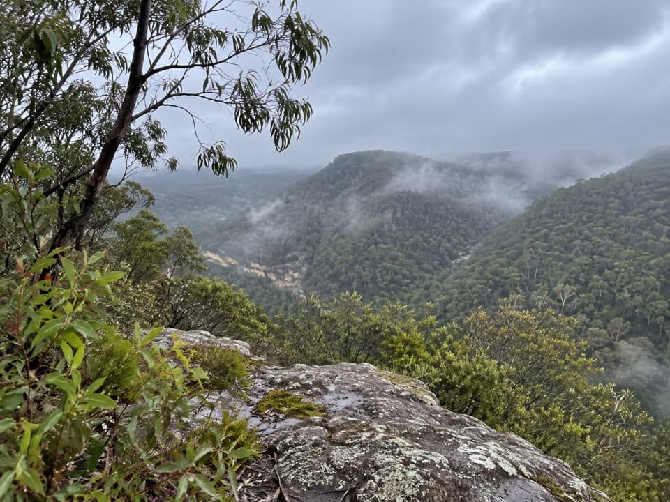 EasyPisgah Rock walking track1.5 km · 36 min · 4.4 km awayA short spur to an informal rock lookout above Erskine Creek Gorge.
 ChallengingErskine Creek via Pisgah Rock2.9 km · 2 hr · 4.4 km awayEasy to the lookout; hard scrambling to the creek.
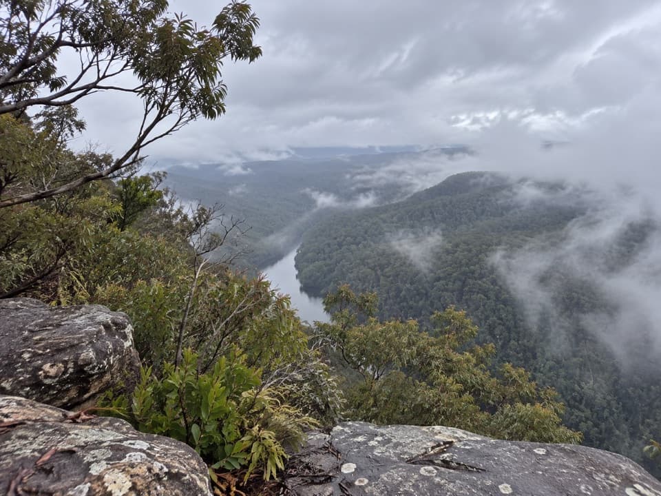 Sight · 1.7 km awayRileys Mountain LookoutWalk beyond The Rock for a higher view over the Nepean.
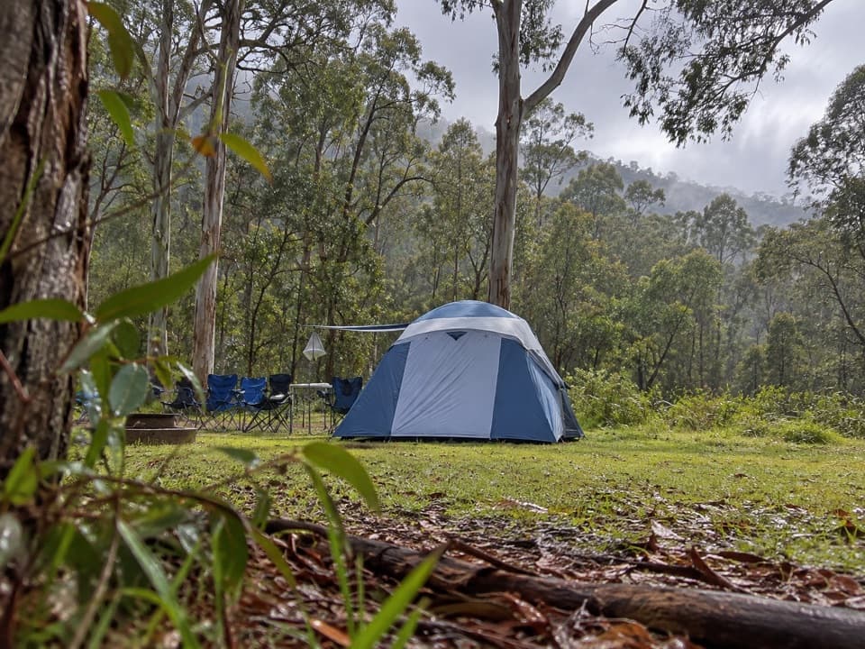 Campground · 2.2 km awayEuroka campgroundFive gum-fringed camping areas; bring water and secure your food.
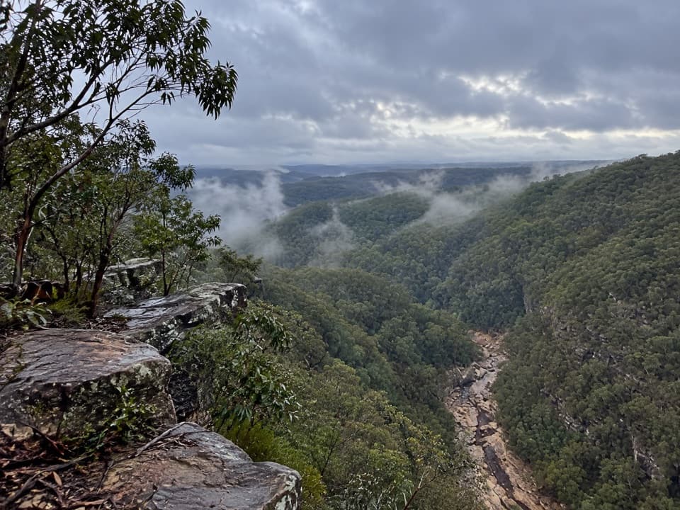 Sight · 4 km awayTunnel View lookoutA gorge-edge pause with 1911 tunnels and distant basalt peaks.
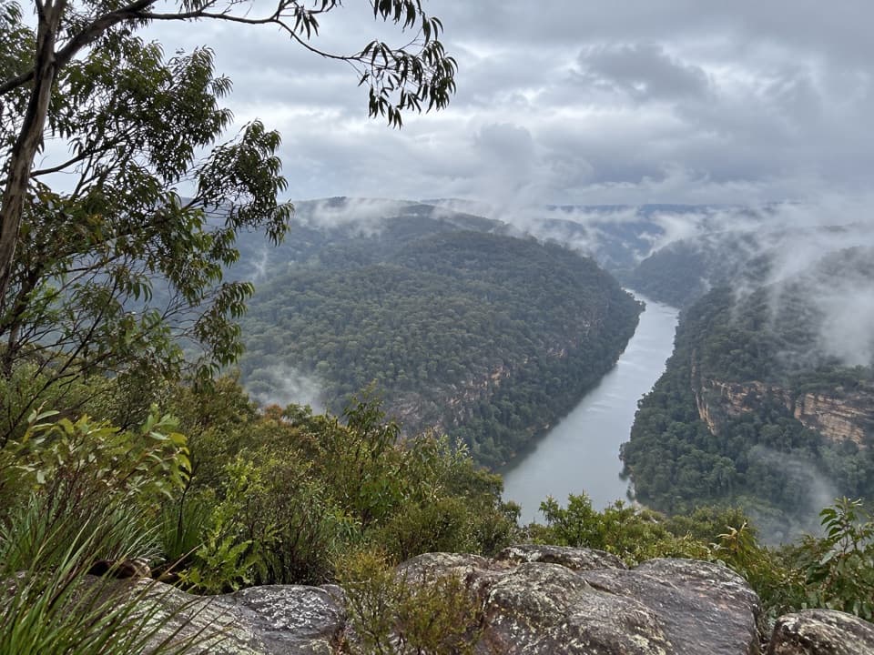 Sight · 4.1 km awayNepean lookoutA short walk opens onto Fairlight Gorge and the Nepean River.
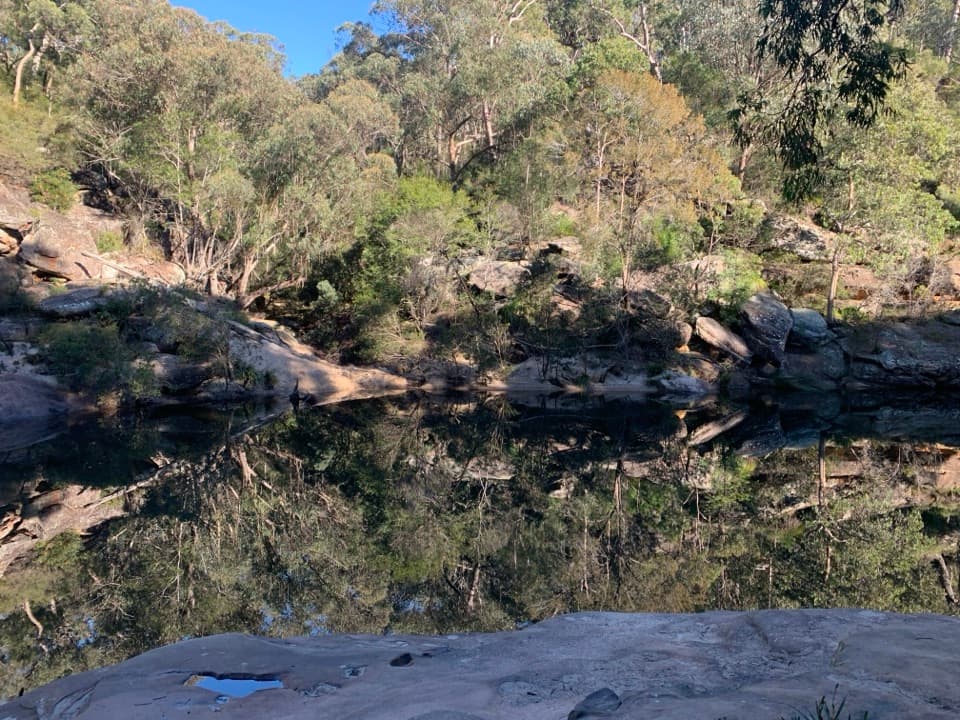 Beach · 4.2 km awayJellybean PoolA sandy creekside swim beneath Glenbrook Gorge’s sandstone walls.
 Entrance station · 4.5 km awayGlenbrook Entrance and Information CentreA practical gateway and start point for the Jellybean Pool walk.
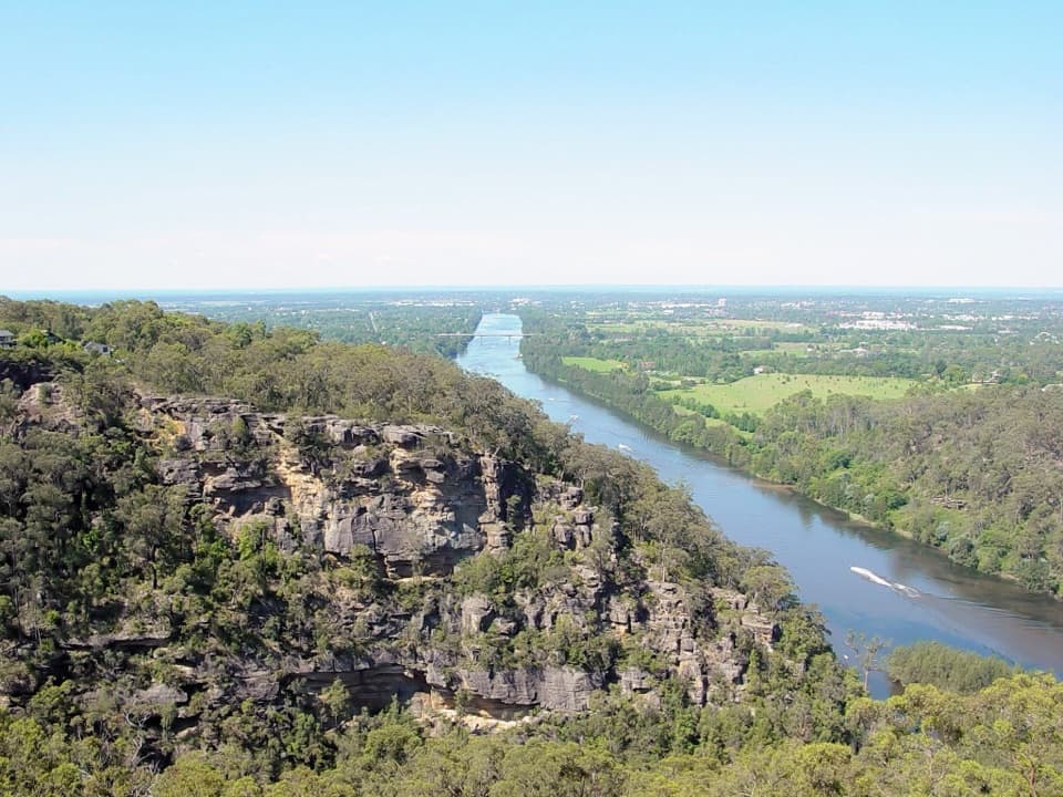 Sight · 4.6 km awayPortal lookoutA gorge-to-plain panorama from the end of a short all-access path.
 Sight · 4.7 km awayRed Hands CaveLayered hand stencils survive in a small sandstone shelter.
Parkwolf’s Blue Mountains ranking

The audio tour guide for the drive, plus offline maps, trails, and wildlife heatmaps for when the signal drops.