Parking
Small car park at the Pisgah Rock Walking Track start along Nepean Lookout Firetrail. The lot capacity and facilities are not documented.

Blue Mountains National Park, NSW
Easy to the lookout; hard scrambling to the creek.
Overview
Erskine Creek via Pisgah Rock is a 1.8-mile (2.9-kilometre) out-and-back from the Pisgah Rock track car park to the Erskine and Lincoln creeks junction. The first 700 metres to the lookout follow a broad, easy path; the rest is a steep, exposed scramble down into the gorge. Allow about two hours and do it only if you have experience on rough, unmarked terrain. The short mileage disguises how much effort the descent and climb back take.
 Parkwolf’s verdictIs this the hike for you?
Map & elevation
Plan your hike

The highest, rockiest slopes around here are a summer buffet for grizzly bears.
Blue Mountains Tour Guide
Parkwolf is a GPS audio tour guide for Blue Mountains National Park. As you drive, it chimes in with what’s ahead: hidden gems, upcoming stops, history, geology, and wildlife, right through your car’s speakers.
See the Blue Mountains audio tourRecorded for this trailhead
Pisgah Rock: Lookout or Creek Scramble“You're approaching the Pisgah Rock track, a short walk to a sandstone ledge above Erskine Creek Gorge.”
Plays as you drive up to this trailhead in the Parkwolf Blue Mountains Tour Guide.
More stories near here in the app
“Fantastic app with many points of information… It’s great to just turn on while you’re driving and it gives you an audio tour of the national Park. We love it!!!!”


Trail guide
Pisgah Rock is an open, unfenced platform above Erskine Creek Gorge. The maintained lookout path ends here. The continuation follows an informal footpad through rocky clefts and cliff bands. It is faint, poorly marked and exposed, and accounts disagree about the best line through the steepest section. The stored line follows the mapped informal footpath closest to the creek; it ends about 40 metres short of the junction because the final approach is not mapped clearly. If the tread disappears, turn back instead of searching for a way down.
At the lower bend, rocky slabs, pools and creek channels sit below enclosing cliffs. Retrace your route to the car park; the same steep ground makes the climb back to Pisgah Rock the hard part. The creek walk that continues toward Jack Evans Track is a separate, much longer off-track circuit and is not included here.
Early bushwalkers used nearby Attic Cave as an overnight stop before descending to Erskine Creek and continuing farther into the bush. At the creek, frame the foreground slabs and a pool with the enclosing cliffs to show how tightly the gorge closes around the water.
Start at the small Pisgah Rock Walking Track car park on Nepean Lookout Firetrail. The lot's capacity and facilities are not documented. Pisgah Rock is unfenced, and the creek descent is an informal scramble with no reliable markers. Dogs are not permitted in this national park.
Wildlife
 58 sightingsGrey KangarooMost seen around 6 AMSighting map
 43 sightingsWombatMost seen around 6 PMSighting map
 18 sightingsRed-necked WallabyMost seen around 6 PMSighting map
 53 sightingsSwamp WallabyMost seen around 7 AMSighting map
 23 sightingsBrushtail PossumMost seen around 7 PMSighting map
 30 sightingsRing-tailed PossumMost seen around 7 PMSighting map
Sighting maps show where each species has been reported across Blue Mountains. Wildlife moves, so no sighting is guaranteed.
Keep exploring
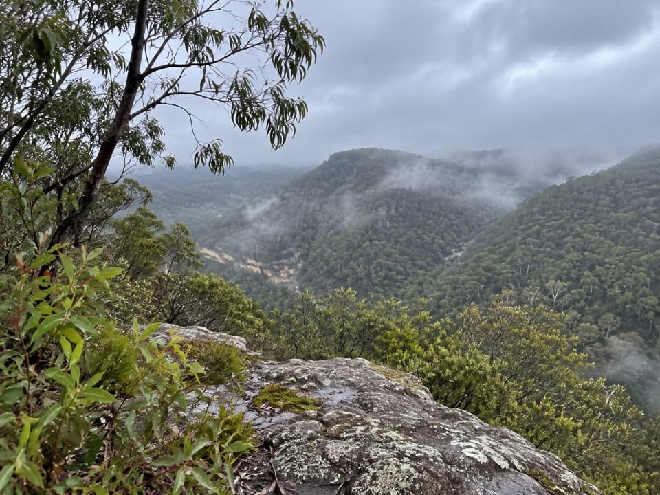 EasyPisgah Rock walking track1.5 km · 36 min · At the trailheadA short spur to an informal rock lookout above Erskine Creek Gorge.
 ChallengingJack Evans walking track2.6 km · 1 hr · 1.6 km awayA steep descent to Erskine Creek's deep swimming holes.
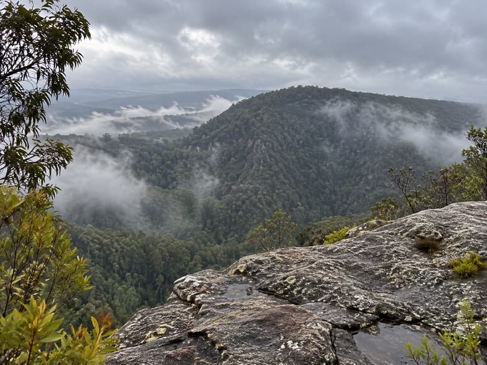 EasyRileys Mountain Trail5 km · 1.5 hr · 4.5 km awayA short ridge walk to an unfenced Nepean River lookout.
 ModerateCrayfish Pool and Grey Hat Falls walk1.9 km · 1.5 hr · 5.1 km awayA steep, unmarked out-and-back to a waterfall pool.
 ModerateNepean River walking track1.8 km · 38 min · 5.3 km awayA quick gorge loop to the Nepean, with a steep climb back.
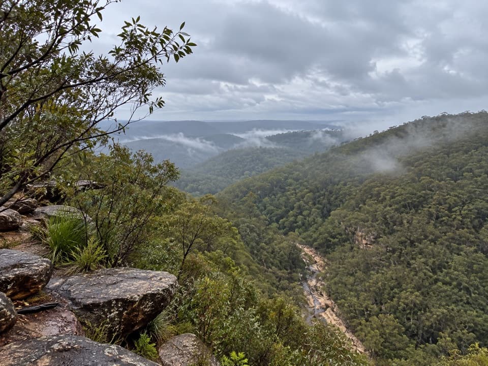 EasyTunnel View walking track0.5 km · 25 min · 6.9 km awayA short walk to a broad valley and two 1911 rail tunnels.
 ModerateRed Hands Cave walking track8 km · 2 hr · 7 km awayA creekside loop to a sandstone shelter layered with hand stencils.
 ModerateGlenbrook Gorge track1.4 km · 1 hr · 7.1 km awaySteep steps descend to Glenbrook Creek's rugged gorge
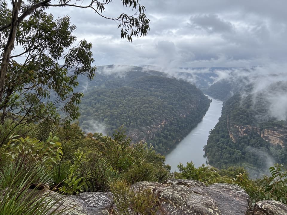 Sight · 2.2 km awayNepean lookoutA short walk opens onto Fairlight Gorge and the Nepean River.
 Sight · 4.4 km awayThe Rock LookoutA short walk opens onto a rocky overlook above the Nepean
 Sight · 5.4 km awayRed Hands CaveLayered hand stencils survive in a small sandstone shelter.
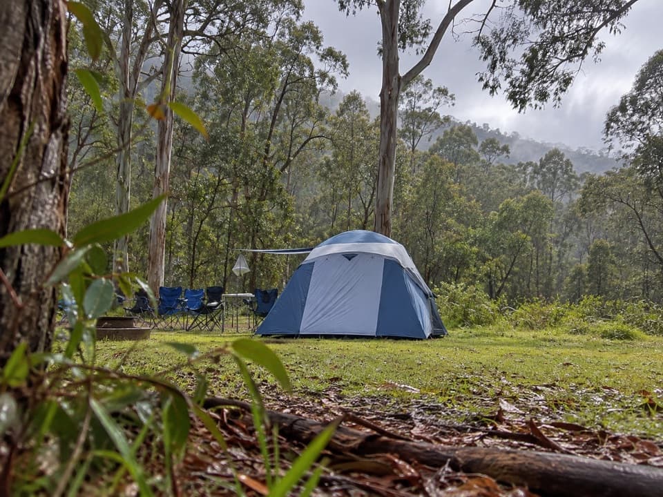 Campground · 5.4 km awayEuroka campgroundFive gum-fringed camping areas; bring water and secure your food.
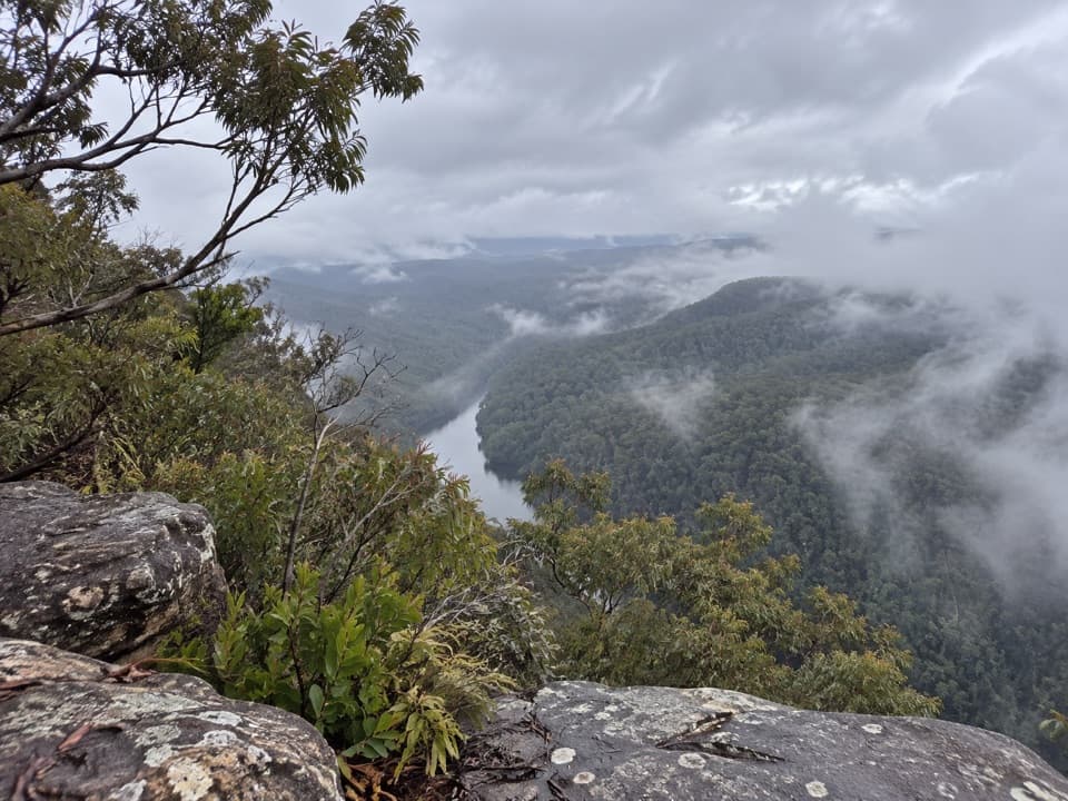 Sight · 5.9 km awayRileys Mountain LookoutWalk beyond The Rock for a higher view over the Nepean.
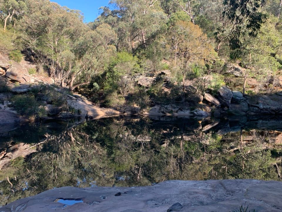 Beach · 6.9 km awayJellybean PoolA sandy creekside swim beneath Glenbrook Gorge’s sandstone walls.
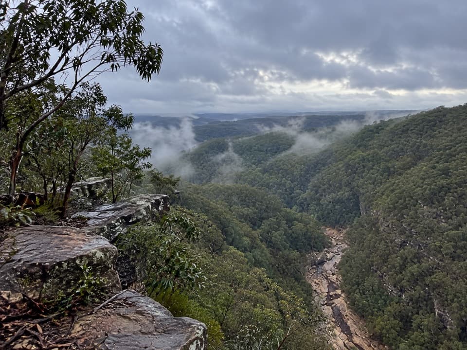 Sight · 7.2 km awayTunnel View lookoutA gorge-edge pause with 1911 tunnels and distant basalt peaks.
 Entrance station · 7.2 km awayGlenbrook Entrance and Information CentreA practical gateway and start point for the Jellybean Pool walk.
Parkwolf’s Blue Mountains ranking
The audio tour guide for the drive, plus offline maps, trails, and wildlife heatmaps for when the signal drops.





