Parking
Start at the carpark at the end of Victoria Falls Road in the Blackheath area. Carry water and a picnic lunch; no food or refill service is listed for the track.

Blue Mountains National Park, NSW
A steep 4 km return to a waterfall in the Grose Valley.
Overview
Map & elevation
Plan your hike

The highest, rockiest slopes around here are a summer buffet for grizzly bears.
Blue Mountains Tour Guide
Parkwolf is a GPS audio tour guide for Blue Mountains National Park. As you drive, it chimes in with what’s ahead: hidden gems, upcoming stops, history, geology, and wildlife, right through your car’s speakers.
See the Blue Mountains audio tourRecorded for this trailhead
Victoria Falls: Lookout or Waterfall“Victoria Falls lookout is ahead, with a Grose Valley panorama almost as soon as you leave the car park. Stop here for the view without a long walk, but don't expect to see the waterfall from the lookout.”
Plays as you drive up to this trailhead in the Parkwolf Blue Mountains Tour Guide.
More stories near here in the app
“Fantastic app with many points of information… It’s great to just turn on while you’re driving and it gives you an audio tour of the national Park. We love it!!!!”


Trail guide
Victoria Falls walking track is a 4 km return from the carpark at the end of Victoria Falls Road, with a lookout near the start and a steep descent into the Grose Valley to the waterfall. Allow 2 to 2.5 hours. The short distance hides a hard climb: you walk down the sandstone cliff and then come back up the same way. I’d pick it for the waterfall and valley, not for an easy stroll. If you only want the view, the lookout is reached almost straight away and makes a natural turnaround. There’s no wheelchair access, and dogs aren’t allowed in this national park.
Victoria Falls lookout comes almost as soon as you start. From here you look over the sandstone escarpment and into the Grose Wilderness; it’s a strong view even if you don’t continue. Sulphur-crested and yellow-tailed black cockatoos may call from this stretch. To reach the falls, take the track to the left of the lookout and begin the descent.
The path zigzags steeply down the sandstone cliff. Steps and rough footing make this feel harder than the distance suggests, so take your time on the way down. Short side paths lead to Victoria Creek Cascades and the top of Victoria Falls. Those are viewing spurs; the main track continues lower to the waterfall’s base.
Victoria Falls drops about 20 m over a rock overhang. The canopy at the base is shady in summer, and it’s a good place to stop for a picnic. For a photo, keep the overhanging lip and some falling water in the frame; that shows the shape of the drop better than a tight shot of water alone. Stay well back from cliff edges and take extra care around the waterfall.
Retrace the same track to the carpark. The steep climb back takes about 60 to 90 minutes on its own, so leave enough time after your stop at the falls. The full walk is graded 4 and needs moderate fitness. Carry drinking water and a picnic lunch; there’s no food or water refill service listed for the track.
Well-equipped, experienced walkers can continue on Burra Korain–Blue Gum Forest walking track toward Pierces Pass, Perrys Lookdown and Blue Gum Forest. That’s a separate, longer outing, not part of this 4 km return. Check its route and access separately before setting out.
Wildlife
 58 sightingsGrey KangarooMost seen around 6 AMSighting map
 43 sightingsWombatMost seen around 6 PMSighting map
 18 sightingsRed-necked WallabyMost seen around 6 PMSighting map
 53 sightingsSwamp WallabyMost seen around 7 AMSighting map
 23 sightingsBrushtail PossumMost seen around 7 PMSighting map
 30 sightingsRing-tailed PossumMost seen around 7 PMSighting map
Sighting maps show where each species has been reported across Blue Mountains. Wildlife moves, so no sighting is guaranteed.
Keep exploring
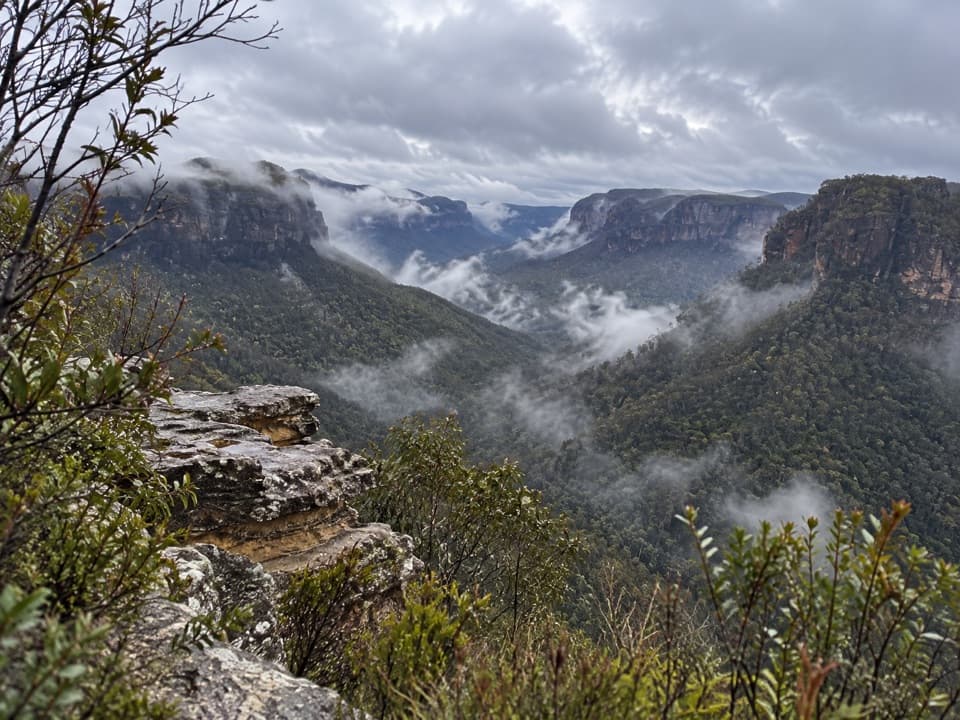 ModerateAsgard Head walking track6 km · 2 hr · 0.9 km awayA 6 km return walk to an open Grose Valley lookout.
 ModerateIkara Head walking track6.1 km · 2 hr · 1.3 km awayA return walk to a rocky headland above Grose Valley.
 ChallengingPierces Pass to Grose River4.9 km · 3 hr · 4.3 km awayA steep track to the river, then every step back up.
 EasyRigby Hill walking track1.2 km · 1 hr · 4.3 km awayA short ridge walk ends above the Grose Valley.
 ChallengingPierces Pass to Blue Gum Forest walking track16 km · 7 hr · 4.3 km awayA steep Grose Valley descent to rainforest, river and Blue Gum Forest.
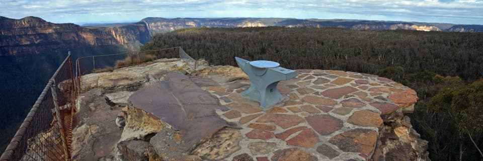 EasyAnvil Rock and Wind Eroded Cave Walk0.7 km · 24 min · 4.8 km awayTwo short spurs pair a valley lookout with a sculpted cave.
 EasyWalls Lookout Track2.5 km · 1 hr · 4.9 km awayA short out-and-back to big Grose Valley views.
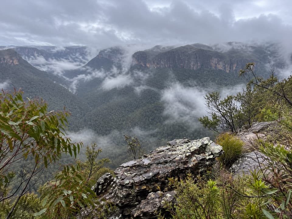 ModerateHat Hill to Bald Head6.8 km · 2.8 hr · 5 km awayA rugged ridge walk to a wide Grose Valley view.
 Sight · 0.1 km awayVictoria Falls lookoutA wide Grose Valley view appears just beyond the carpark.
 Sight · 0.6 km awayVictoria FallsA steep descent links a 20 m waterfall with creek cascades.
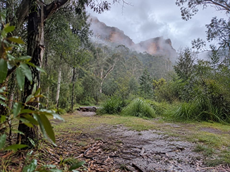 Campground · 1.6 km awayBurra Korain Flat campgroundListen for cockatoos as evening settles over the remote Grose Valley.
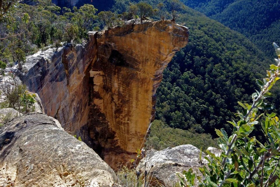 Sight · 2.3 km awayBaltzer LookoutA ridge walk ends at an unfenced view over the Grose Valley.
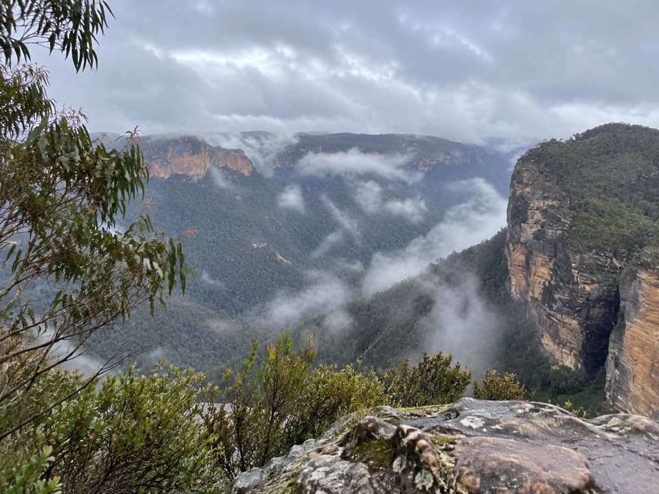 Sight · 4.1 km awayRigby Hill lookoutA short ridge walk to a broad Grose Valley panorama.
 Picnic area · 4.3 km awayPierces Pass picnic areaTwo very different walks start at this small Grose Valley picnic stop.
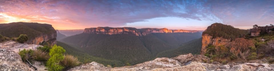 Sight · 4.3 km awayWalls LookoutA short rocky walk opens onto a huge Grose Valley panorama.
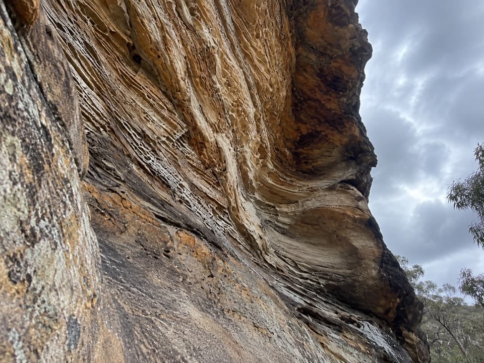 Sight · 4.8 km awayWind Eroded CaveA short stop for wave-shaped sandstone and a Grose Gorge view.
Parkwolf’s Blue Mountains ranking

The audio tour guide for the drive, plus offline maps, trails, and wildlife heatmaps for when the signal drops.





