Parking
Start at Burralow Creek Campground; separate trailhead parking details are not published. The campground is reached by a remote unsealed fire trail for which 4WD vehicles are recommended.

Blue Mountains National Park, NSW
A short creek walk ends at a small sandstone waterfall.
Overview
Map & elevation
Plan your hike

The highest, rockiest slopes around here are a summer buffet for grizzly bears.
Blue Mountains Tour Guide
Parkwolf is a GPS audio tour guide for Blue Mountains National Park. As you drive, it chimes in with what’s ahead: hidden gems, upcoming stops, history, geology, and wildlife, right through your car’s speakers.
See the Blue Mountains audio tourRecorded for this trailhead
Burralow Creek and Bulcamatta Falls“You're nearing Burralow Creek campground and picnic area, a grassy clearing framed by scribbly gums and sandstone walls.”
Plays as you drive up to this trailhead in the Parkwolf Blue Mountains Tour Guide.
More stories near here in the app
“Fantastic app with many points of information… It’s great to just turn on while you’re driving and it gives you an audio tour of the national Park. We love it!!!!”


Trail guide
Bulcamatta Falls Track is an easy 2.5 km out-and-back from Burralow Creek Campground to Bulcamatta Falls, taking about 45–60 minutes. The mapped path is about 1.2 km each way; local route figures vary a little, from roughly 2.4 to 2.7 km return. It follows the creek through a small rainforest gully to a waterfall in a dark sandstone grotto. It’s a nice short walk if you’re already heading to the campground; getting there is a much bigger commitment than the hike.
Start on the western side of the campground and follow the unpaved bush track beside the creek. The route stays shaded through forest before the gully tightens around the falls. It’s described as an easy walk, but it is still a natural track rather than a paved path.
Bulcamatta Falls is a small cascade tucked under sandstone. It’s a small cascade, so go for the grotto and creek walk rather than a big-waterfall spectacle. On the way, look for a pit that NSW National Parks describes as dug by convicts. Its date and purpose aren’t established, so there’s no need to attach a bigger story to it.
The walk starts at Burralow Creek Campground. Its remote, unsealed access fire trail is recommended for 4WD vehicles and may close in heavy rain or extreme fire danger; check current alerts before driving in. The campground has toilets and barbecues, but no food outlet was identified. Bring your own water and supplies before the drive. Dogs and other pets aren’t allowed in NSW national parks; trained assistance animals are permitted.
Wildlife
 58 sightingsGrey KangarooMost seen around 6 AMSighting map
 43 sightingsWombatMost seen around 6 PMSighting map
 18 sightingsRed-necked WallabyMost seen around 6 PMSighting map
 53 sightingsSwamp WallabyMost seen around 7 AMSighting map
 23 sightingsBrushtail PossumMost seen around 7 PMSighting map
 30 sightingsRing-tailed PossumMost seen around 7 PMSighting map
Sighting maps show where each species has been reported across Blue Mountains. Wildlife moves, so no sighting is guaranteed.
Keep exploring
 ModerateGrose Head South Lookout via Blue Gum Swamp Track13.2 km · 4.5 hr · 12.1 km awayA 13 km loop to a rock lookout above Lower Grose Valley.
 ModerateBlue Gum Swamp and Shaws Ridge Loop9.1 km · 3 hr · 12.1 km awayRidge fire trail gives way to a fern-filled blue gum valley.
 ModerateFaulconbridge Ridge Trail13.7 km · 3.5 hr · 13.3 km awayWalk a shaded firetrail to a rocky lookout over the Grose River.
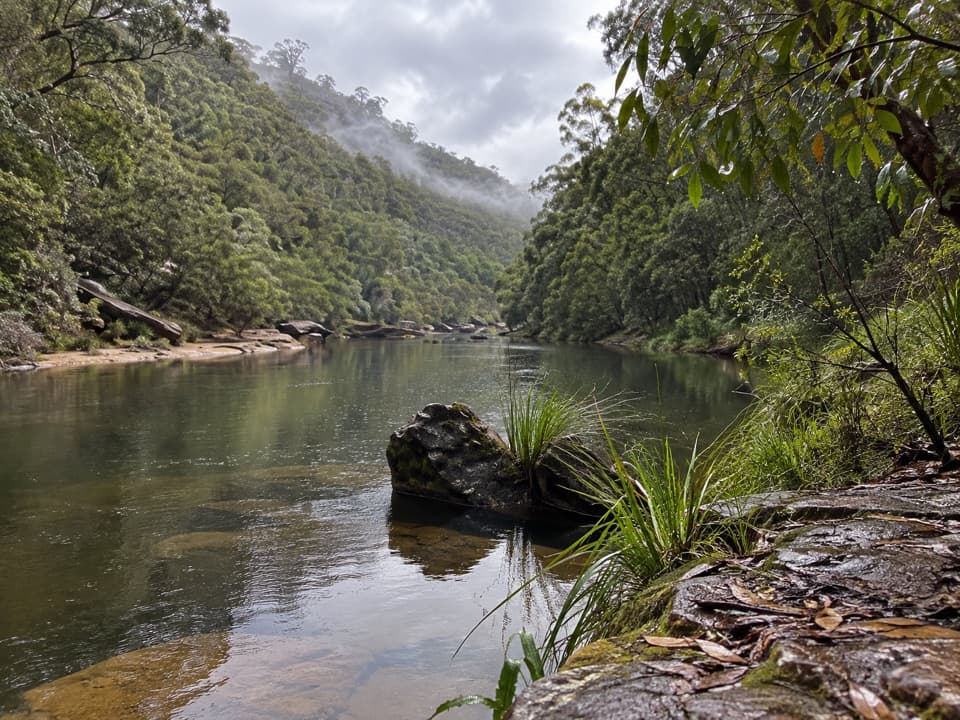 ChallengingGrose River Walking Track from Faulconbridge15.1 km · 6.3 hr · 13.5 km awayA long ridge walk drops steeply to a remote Grose River pool.
 ModerateSassafras Gully, Victory Track and Magdala Gully Loop10.2 km · 4.5 hr · 16.4 km awaySandstone gullies, waterfalls and creekside track from Springwood.
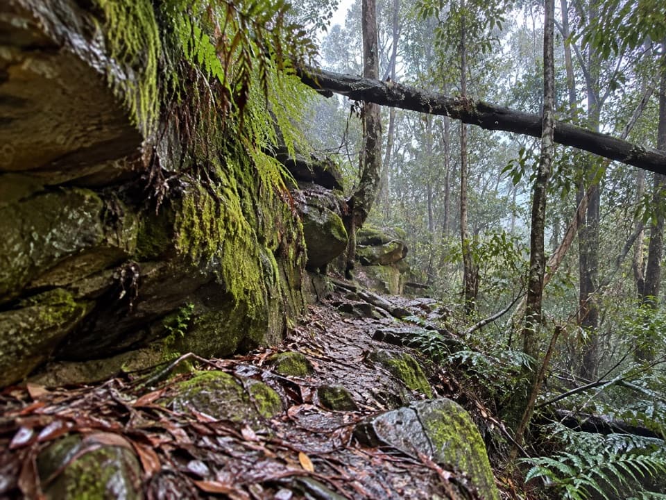 ChallengingFaulconbridge to Springwood via Sassafras Gully6.1 km · 3 hr · 16.9 km awayA shaded creek descent ends with a tough climb to Springwood.
 ChallengingWarrimoo to Glenbrook via St Helena16.8 km · 6.5 hr · 18.4 km awayFollow the ridge to Glenbrook, with sandstone lookouts and a creek beach.
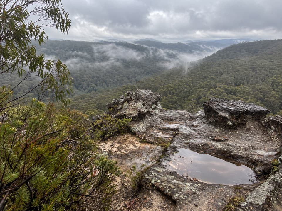 ModerateLinden Ridge Firetrail14.5 km · 3.5 hr · 19.1 km awayA long ridge firetrail with intermittent sandstone views.
Parkwolf’s Blue Mountains ranking

The audio tour guide for the drive, plus offline maps, trails, and wildlife heatmaps for when the signal drops.







