Parking
This is a one-way station-to-station walk. Start at Faulconbridge Station and finish at Springwood Station; use rail or arrange a vehicle shuttle. Dedicated trailhead parking and station parking availability were not confirmed.
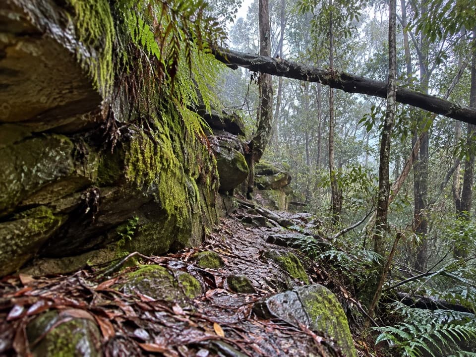
Blue Mountains National Park, NSW
A shaded creek descent ends with a tough climb to Springwood.
Overview
Map & elevation
Plan your hike

The highest, rockiest slopes around here are a summer buffet for grizzly bears.
Blue Mountains Tour Guide
Parkwolf is a GPS audio tour guide for Blue Mountains National Park. As you drive, it chimes in with what’s ahead: hidden gems, upcoming stops, history, geology, and wildlife, right through your car’s speakers.
See the Blue Mountains audio tourRecorded for this area
Parkes Came Home to Faulconbridge“One of the strongest campaigners for a united Australia is buried in Faulconbridge's little cemetery on Sir Henrys Parade.”
Plays on the road 0.9 km from the trailhead in the Parkwolf Blue Mountains Tour Guide.
More stories near here in the app
“Fantastic app with many points of information… It’s great to just turn on while you’re driving and it gives you an audio tour of the national Park. We love it!!!!”


Trail guide
Faulconbridge to Springwood via Sassafras Gully is a 6.1 km (3.79 mi) point-to-point walk between Faulconbridge and Springwood stations. It links the rocky Victory Track descent with the Sassafras Gully climb and finishes on Springwood streets. Allow about three hours; this is a Grade 4, hard route with uneven steps and repeated creek crossings. It does not return to the start, so plan rail travel or a shuttle between the stations before setting out.
From Faulconbridge Station, reach Sir Henrys Parade and follow Victory Track down through sandstone overhangs and uneven cut steps. Rocklily Cave is near the upper part of the descent. The track then follows Sassafras Creek through shaded gullies, crossing the water several times. Large turpentines and angophoras are notable along this stretch. Rocky footing and the crossings make steady progress more realistic than a quick walk.
Clarinda Falls is a separate short spur and is not included in the 6.1 km route line. The through-route continues to an informal clearing near the meeting of Sassafras and Numantia creeks. Numantia Falls is a different, rough and unmarked side trip from this area; it adds distance and should not be mistaken for the Springwood exit. Longer accounts that include that detour describe a different outing.
At the creek junction, follow Sassafras Gully uphill to Sassafras Gully Road. Paddy the Dog Memorial is a named landmark on the climb. The route then uses about 1.2 km of streets via Valley Road, Homedale Street and Macquarie Road to Springwood Station. This late climb and the street finish are part of the through-hike, not optional connectors; the final station is well away from the Faulconbridge start.
Carry the drinking water you need; no refill point was confirmed along the route. Pets are not permitted in NSW national parks. Route-specific current status was not established from the manager notices checked, so check current park or council track alerts before leaving. The route description here excludes both the Clarinda Falls spur and the rough Numantia Falls detour.
Wildlife
 58 sightingsGrey KangarooMost seen around 6 AMSighting map
 43 sightingsWombatMost seen around 6 PMSighting map
 18 sightingsRed-necked WallabyMost seen around 6 PMSighting map
 53 sightingsSwamp WallabyMost seen around 7 AMSighting map
 23 sightingsBrushtail PossumMost seen around 7 PMSighting map
 30 sightingsRing-tailed PossumMost seen around 7 PMSighting map
Sighting maps show where each species has been reported across Blue Mountains. Wildlife moves, so no sighting is guaranteed.
Keep exploring
 ModerateSassafras Gully, Victory Track and Magdala Gully Loop10.2 km · 4.5 hr · 2.7 km awaySandstone gullies, waterfalls and creekside track from Springwood.
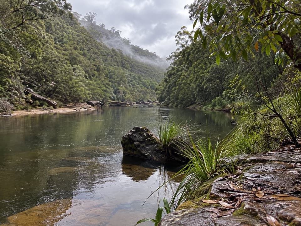 ChallengingGrose River Walking Track from Faulconbridge15.1 km · 6.3 hr · 3.4 km awayA long ridge walk drops steeply to a remote Grose River pool.
 ModerateFaulconbridge Ridge Trail13.7 km · 3.5 hr · 3.6 km awayWalk a shaded firetrail to a rocky lookout over the Grose River.
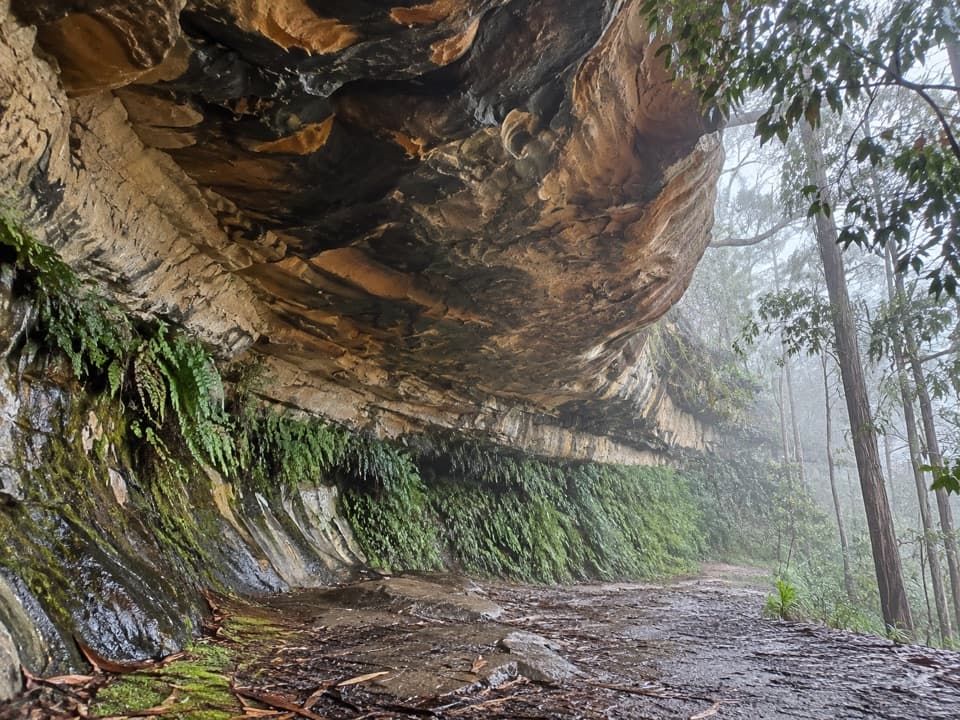 EasyKings Cave walk0.3 km · 20 min · 3.9 km awayA quick walk to a broad sandstone shelter in Linden.
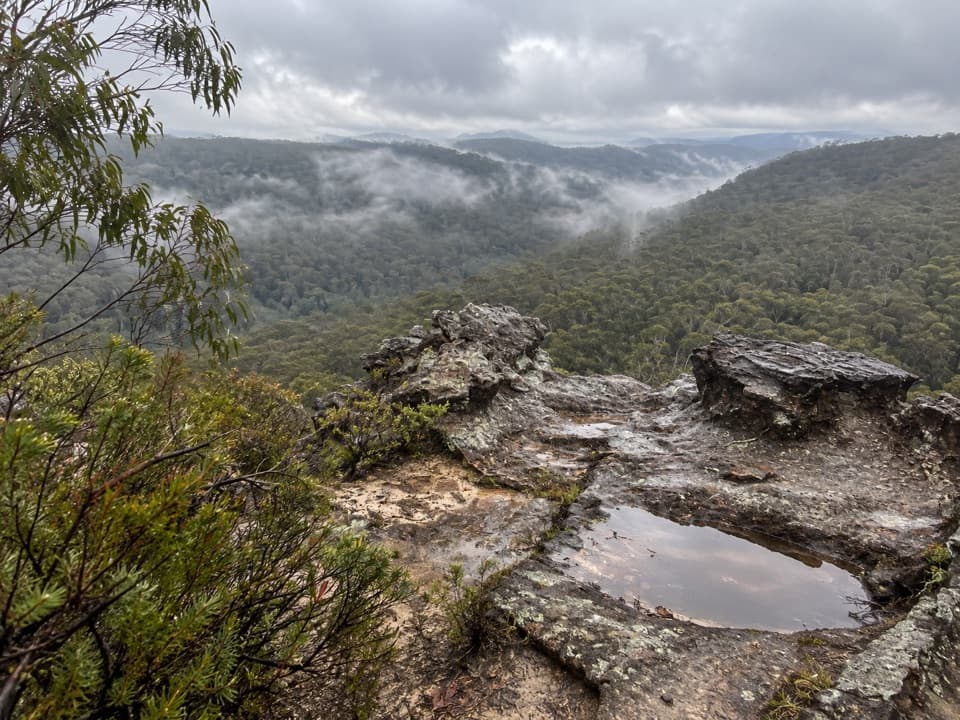 ModerateLinden Ridge Firetrail14.5 km · 3.5 hr · 4.1 km awayA long ridge firetrail with intermittent sandstone views.
 ModerateParadise Pool walking track2.6 km · 1.5 hr · 4.7 km awayA pool below a waterfall rewards the rocky walk back out.
 ChallengingMartin's Lookout to Lost World Lookout6 km · 3.5 hr · 5.6 km awayA steep creek crossing links two lookouts across Glenbrook Valley.
 ModerateWoodford – Oaks trail17.4 km · 5.5 hr · 6.1 km awayOpen heath and eucalypt forest make this a satisfying one-way walk.
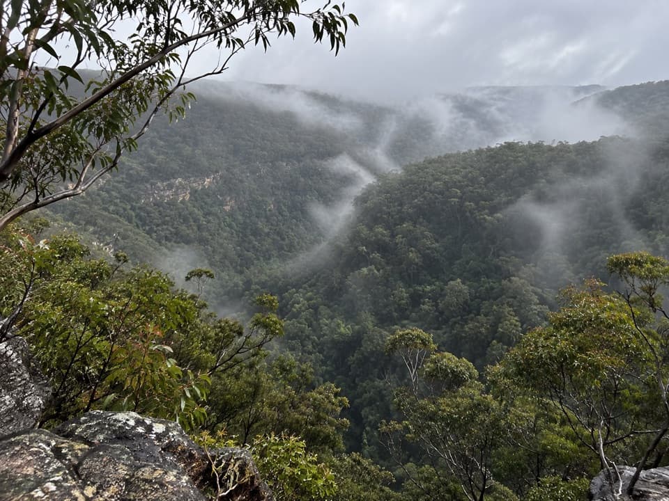 Sight · 5.7 km awayMartin's LookoutA brief lookout over Glenbrook Creek's sandstone gorge
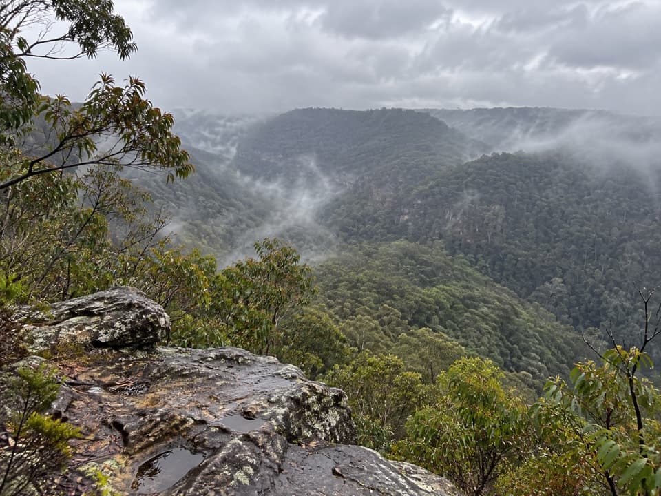 Sight · 6 km awayLost World LookoutA steep walk to a cross above Glenbrook Gorge.
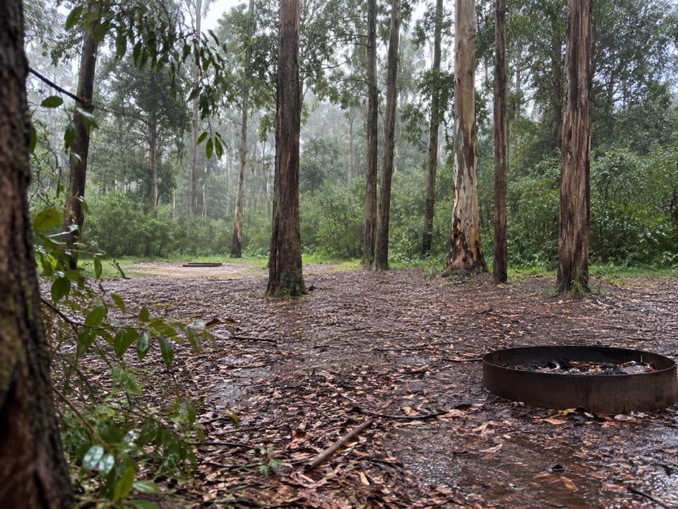 Campground · 9.2 km awayMurphys Glen campgroundA bush night among blue gums, with cockatoos at first light.
 Campground · 10.6 km awayIngar campgroundA remote walk-in camp beside Ingar Creek's rocky waterhole.
 Sight · 10.8 km awayRed Hands CaveLayered hand stencils survive in a small sandstone shelter.
 Sight · 11.6 km awayBlue PoolA short, stepped walk to a sandy, fern-fringed creek pool.
 Entrance station · 12.1 km awayGlenbrook Entrance and Information CentreA practical gateway and start point for the Jellybean Pool walk.
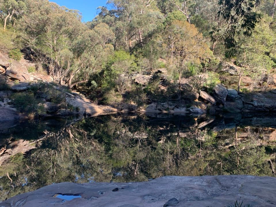 Beach · 12.2 km awayJellybean PoolA sandy creekside swim beneath Glenbrook Gorge’s sandstone walls.
Parkwolf’s Blue Mountains ranking

The audio tour guide for the drive, plus offline maps, trails, and wildlife heatmaps for when the signal drops.





