Parking
Use the end of White Cross Road in Winmalee. The vehicle gate is closed to cars and designated trail parking is limited; park legally nearby and continue on foot.

Blue Mountains National Park, NSW
Ridge fire trail gives way to a fern-filled blue gum valley.
Overview
Map & elevation
Plan your hike

The highest, rockiest slopes around here are a summer buffet for grizzly bears.
Blue Mountains Tour Guide
Parkwolf is a GPS audio tour guide for Blue Mountains National Park. As you drive, it chimes in with what’s ahead: hidden gems, upcoming stops, history, geology, and wildlife, right through your car’s speakers.
See the Blue Mountains audio tourMore stories near here in the app
“Fantastic app with many points of information… It’s great to just turn on while you’re driving and it gives you an audio tour of the national Park. We love it!!!!”


Trail guide
Blue Gum Swamp and Shaws Ridge is a 5.65-mile (9.1-km) circuit from White Cross Road: a steady forest climb on Shaws Ridge, then a descent into a fern-filled valley of tall blue gums before the return. Allow about three hours. Most of it is straightforward fire trail, but the lower descent is narrower and stonier. It is an easy-to-moderate walk if you are comfortable with the distance and uneven ground.
Go counterclockwise, taking the Shaws Ridge side first. The broad gravel trail climbs gradually, with flatter and rolling stretches under eucalypts. It is a long fire-trail stretch, so save some patience for the swamp: that change in scenery is the reason to do the whole circuit. Share the track and listen for bicycles.
The route drops onto a flatter, smoother valley track beside Blue Gum Swamp Creek. Tall blue gums rise over dense ferns, and three small creek crossings use stepping stones. After rain, the lower ground can be wet or muddy, and stones on the descent may be slippery. Bring water; no refill point is identified. This is the best place to frame the pale trunks above the fern tops so the height of the forest comes through.
The swamp is also habitat for yellow-bellied gliders, gang-gang cockatoos and powerful owls. They are possible sightings, not a promise for every walk.
At about 5 km, a branch toward Bees Nest Hill and Grose Head South climbs steeply to a rocky, unfenced lookout over the Grose Valley. It is not included in this mapped loop. Adding it makes a longer outing of roughly 12 km and about 4.5 hours; skip it if steep ground or exposed edges are not for you.
Start at the end of White Cross Road in Winmalee. The vehicle gate is locked, and designated parking is limited, so park legally nearby and walk in. Dogs are not permitted in NSW national parks.
Wildlife
 58 sightingsGrey KangarooMost seen around 6 AMSighting map
 43 sightingsWombatMost seen around 6 PMSighting map
 18 sightingsRed-necked WallabyMost seen around 6 PMSighting map
 53 sightingsSwamp WallabyMost seen around 7 AMSighting map
 23 sightingsBrushtail PossumMost seen around 7 PMSighting map
 30 sightingsRing-tailed PossumMost seen around 7 PMSighting map
Sighting maps show where each species has been reported across Blue Mountains. Wildlife moves, so no sighting is guaranteed.
Keep exploring
 ModerateGrose Head South Lookout via Blue Gum Swamp Track13.2 km · 4.5 hr · At the trailheadA 13 km loop to a rock lookout above Lower Grose Valley.
 ModerateFaulconbridge Ridge Trail13.7 km · 3.5 hr · 5.6 km awayWalk a shaded firetrail to a rocky lookout over the Grose River.
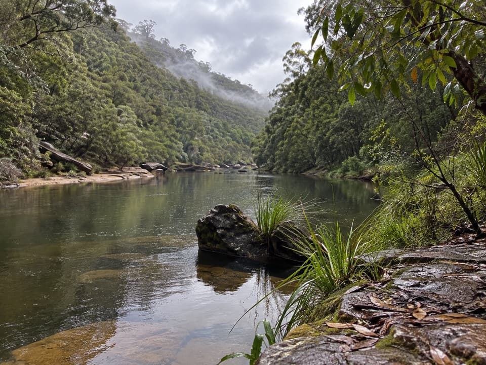 ChallengingGrose River Walking Track from Faulconbridge15.1 km · 6.3 hr · 5.8 km awayA long ridge walk drops steeply to a remote Grose River pool.
 ModerateSassafras Gully, Victory Track and Magdala Gully Loop10.2 km · 4.5 hr · 5.8 km awaySandstone gullies, waterfalls and creekside track from Springwood.
 ChallengingWarrimoo to Glenbrook via St Helena16.8 km · 6.5 hr · 6.4 km awayFollow the ridge to Glenbrook, with sandstone lookouts and a creek beach.
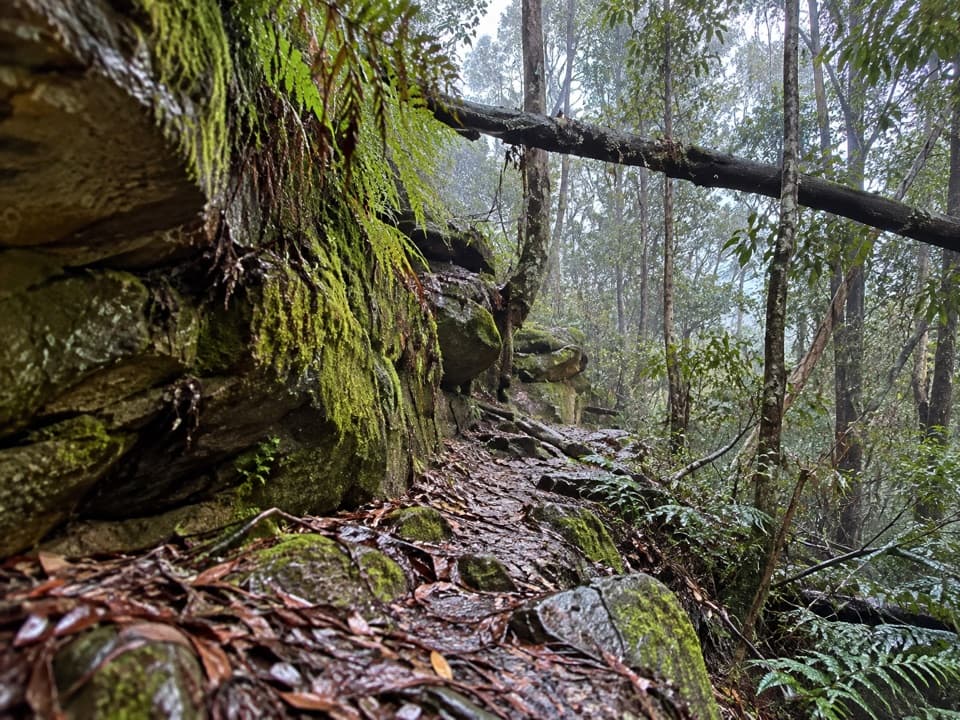 ChallengingFaulconbridge to Springwood via Sassafras Gully6.1 km · 3 hr · 7.9 km awayA shaded creek descent ends with a tough climb to Springwood.
 ChallengingMartin's Lookout to Lost World Lookout6 km · 3.5 hr · 8.4 km awayA steep creek crossing links two lookouts across Glenbrook Valley.
 ModerateDuck Hole walking track3 km · 2 hr · 11.3 km awaySandstone cliffs and a sandy swimming hole reward this bush walk.
 Sight · 5.9 km awayVale of Avoca lookoutA broad Grose Valley panorama after a very short walk.
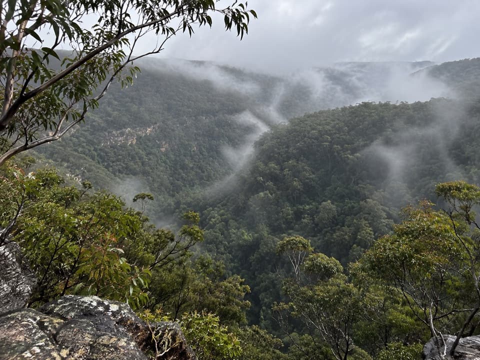 Sight · 8.5 km awayMartin's LookoutA brief lookout over Glenbrook Creek's sandstone gorge
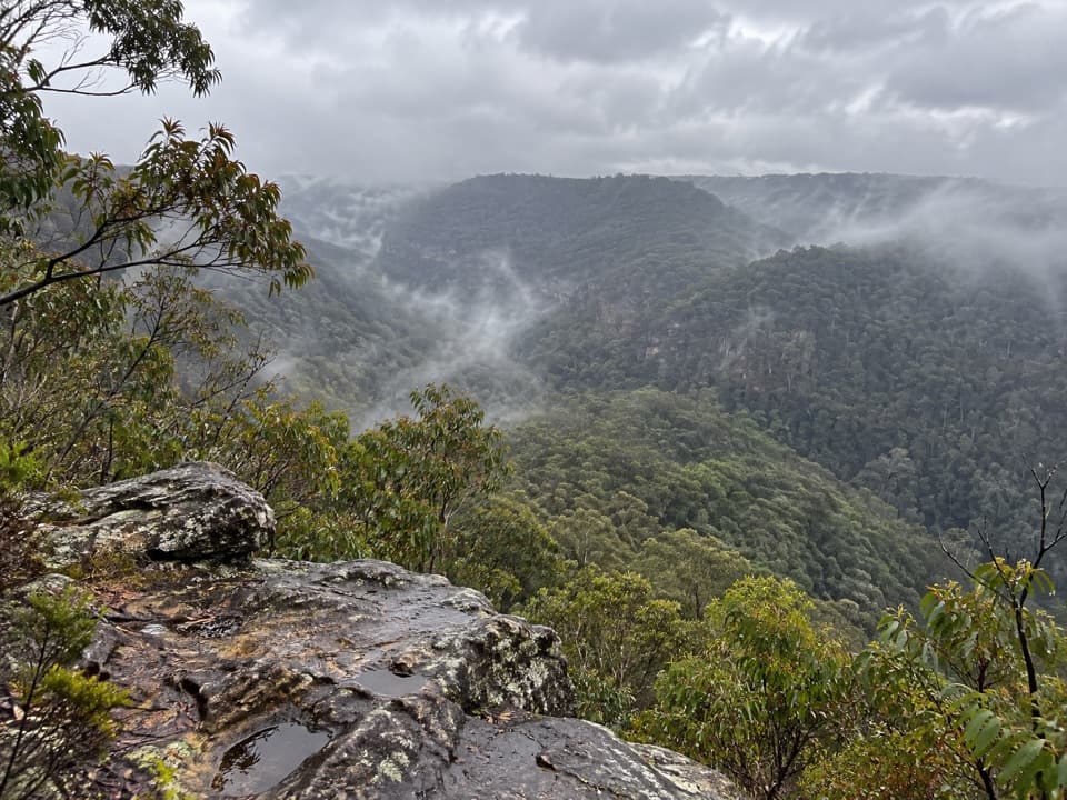 Sight · 9.1 km awayLost World LookoutA steep walk to a cross above Glenbrook Gorge.
 Campground · 12.1 km awayBurralow Creek campground and picnic areaSleep by the creek, then walk to Bulcamatta Falls.
 Sight · 12.3 km awayBlue PoolA short, stepped walk to a sandy, fern-fringed creek pool.
 Entrance station · 12.7 km awayGlenbrook Entrance and Information CentreA practical gateway and start point for the Jellybean Pool walk.
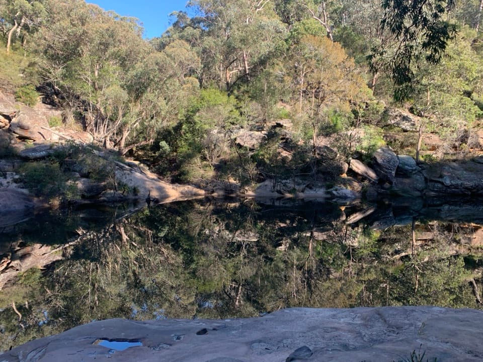 Beach · 13 km awayJellybean PoolA sandy creekside swim beneath Glenbrook Gorge’s sandstone walls.
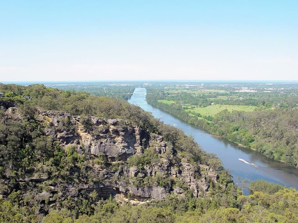 Sight · 13.2 km awayPortal lookoutA gorge-to-plain panorama from the end of a short all-access path.
Parkwolf’s Blue Mountains ranking

The audio tour guide for the drive, plus offline maps, trails, and wildlife heatmaps for when the signal drops.





