Parking
Start and finish at Springwood Station; a station car park is available. The street approach to Sassafras Gully Road and the return through Fairy Dell are part of this mapped loop. Parking at the gully entrance was not confirmed.

Blue Mountains National Park, NSW
Sandstone gullies, waterfalls and creekside track from Springwood.
Overview
Map & elevation
Plan your hike

The highest, rockiest slopes around here are a summer buffet for grizzly bears.
Blue Mountains Tour Guide
Parkwolf is a GPS audio tour guide for Blue Mountains National Park. As you drive, it chimes in with what’s ahead: hidden gems, upcoming stops, history, geology, and wildlife, right through your car’s speakers.
See the Blue Mountains audio tourRecorded for this area
Smoke Gives a Seed Its Cue“Some seeds can wait in the soil for years before a fire gives them their cue to grow. Burning vegetation produces chemicals called karrikins.”
Plays on the road 0.8 km from the trailhead in the Parkwolf Blue Mountains Tour Guide.
More stories near here in the app
“Fantastic app with many points of information… It’s great to just turn on while you’re driving and it gives you an audio tour of the national Park. We love it!!!!”


Trail guide
This 10.2 km (6.33 mi) circuit starts and finishes at Springwood Station. It drops through Sassafras Gully to Perch Ponds, then climbs Magdala Gully past Martins Falls and Magdala Falls before returning through Fairy Dell. Allow about four to five hours: the reward is a string of cool, ferny gullies, but this is a long, rocky bushwalk with creek crossings, not a stroll.
The mapped route includes the street approach from the station to Sassafras Gully Road and the return from Fairy Dell. It follows the Sassafras and Victory tracks to Perch Ponds, then Magdala Gully to Springwood. A separate Sassafras circuit uses Wiggins Track; its line and distance are different, so don't mix its junctions with this station loop. At the gully forks, follow signs for Perch Ponds and Springwood Station, not the Faulconbridge branch.
Expect uneven rock, sandstone overhangs, creek edges and several crossings where you'll need to pick your way across stones. Fallen trees have made parts of the tread slow and faint, so keep checking the route through those sections. The walk descends into the gullies early, then climbs back out toward Springwood. Wet weather brings more creek flow, but also slippery rock and leeches.
Perch Ponds is a quiet creekside clearing with no toilets or treated drinking water; creek water needs treatment. The climb up Magdala Gully passes Martins Falls and Magdala Falls. They flow best after rain and can shrink to a trickle in a dry spell. The main-track view of Magdala Falls is screened by foliage; reaching its base means an optional off-track scramble over boulders and logs.
The best photographs are in the shaded sandstone gullies: frame the pink rock overhangs with tree trunks and ferns for scale. Lyrebirds are often heard along the walk; echidnas and eastern water dragons have also been reported, though wildlife sightings are never guaranteed.
Springwood Station is the mapped start and finish, so you don't need a shuttle. A station car park is available; current rules and capacity weren't verified. Pets aren't permitted on this route through Blue Mountains National Park. There are no treated-water stops on the bush section.
Wildlife
 58 sightingsGrey KangarooMost seen around 6 AMSighting map
 43 sightingsWombatMost seen around 6 PMSighting map
 18 sightingsRed-necked WallabyMost seen around 6 PMSighting map
 53 sightingsSwamp WallabyMost seen around 7 AMSighting map
 23 sightingsBrushtail PossumMost seen around 7 PMSighting map
 30 sightingsRing-tailed PossumMost seen around 7 PMSighting map
Sighting maps show where each species has been reported across Blue Mountains. Wildlife moves, so no sighting is guaranteed.
Keep exploring
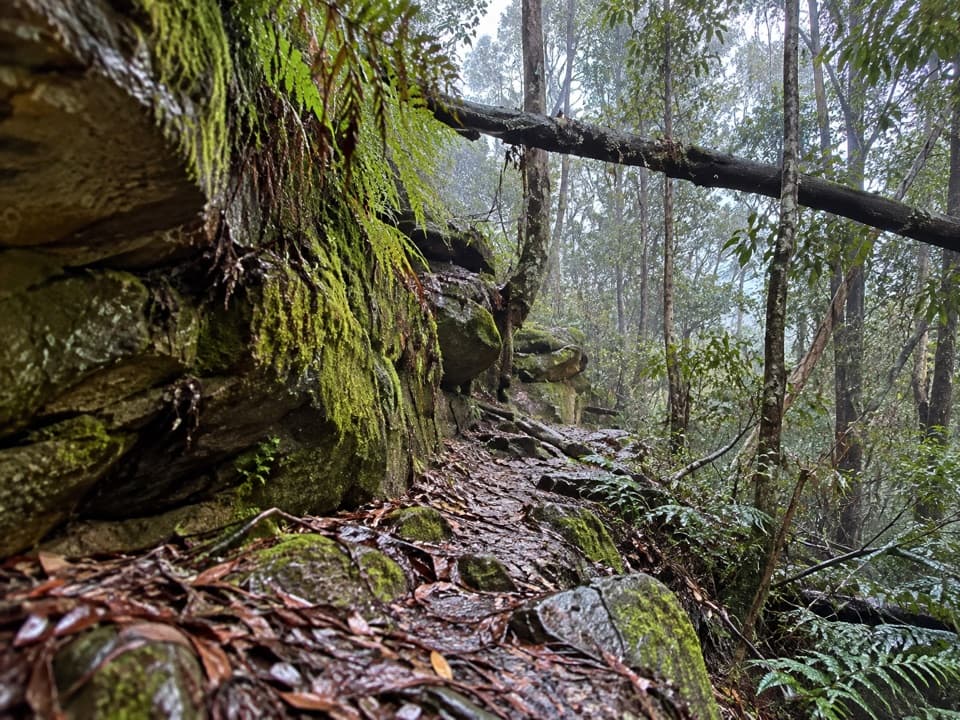 ChallengingFaulconbridge to Springwood via Sassafras Gully6.1 km · 3 hr · 2.7 km awayA shaded creek descent ends with a tough climb to Springwood.
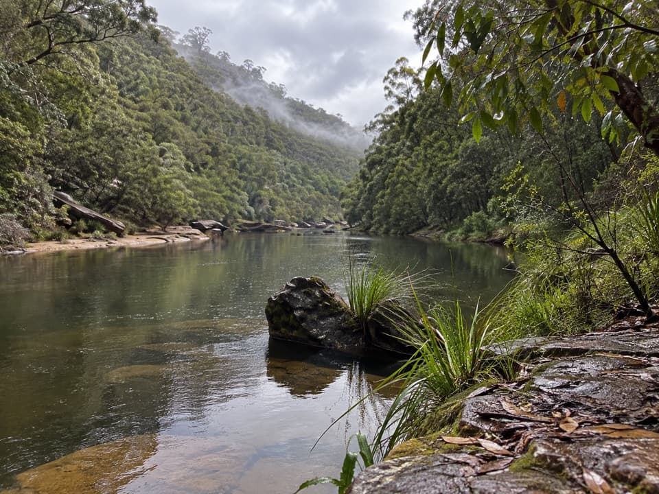 ChallengingGrose River Walking Track from Faulconbridge15.1 km · 6.3 hr · 3.7 km awayA long ridge walk drops steeply to a remote Grose River pool.
 ModerateFaulconbridge Ridge Trail13.7 km · 3.5 hr · 3.8 km awayWalk a shaded firetrail to a rocky lookout over the Grose River.
 ChallengingMartin's Lookout to Lost World Lookout6 km · 3.5 hr · 4.1 km awayA steep creek crossing links two lookouts across Glenbrook Valley.
 ChallengingWarrimoo to Glenbrook via St Helena16.8 km · 6.5 hr · 4.4 km awayFollow the ridge to Glenbrook, with sandstone lookouts and a creek beach.
 ModerateGrose Head South Lookout via Blue Gum Swamp Track13.2 km · 4.5 hr · 5.8 km awayA 13 km loop to a rock lookout above Lower Grose Valley.
 ModerateBlue Gum Swamp and Shaws Ridge Loop9.1 km · 3 hr · 5.8 km awayRidge fire trail gives way to a fern-filled blue gum valley.
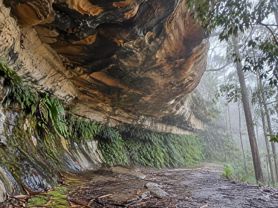 EasyKings Cave walk0.3 km · 20 min · 6.3 km awayA quick walk to a broad sandstone shelter in Linden.
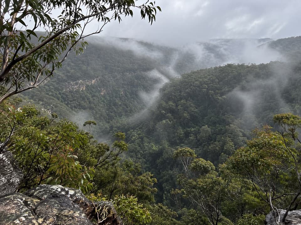 Sight · 4.1 km awayMartin's LookoutA brief lookout over Glenbrook Creek's sandstone gorge
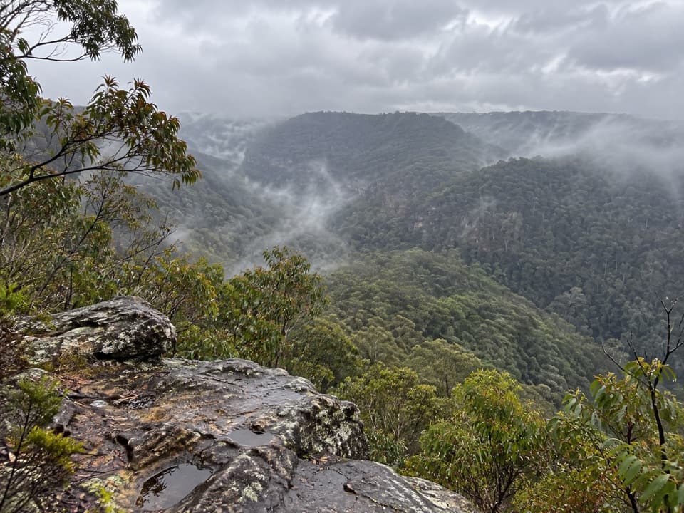 Sight · 4.7 km awayLost World LookoutA steep walk to a cross above Glenbrook Gorge.
 Sight · 9.6 km awayRed Hands CaveLayered hand stencils survive in a small sandstone shelter.
 Sight · 9.8 km awayBlue PoolA short, stepped walk to a sandy, fern-fringed creek pool.
 Entrance station · 10.3 km awayGlenbrook Entrance and Information CentreA practical gateway and start point for the Jellybean Pool walk.
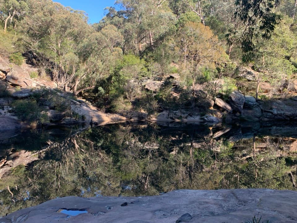 Beach · 10.4 km awayJellybean PoolA sandy creekside swim beneath Glenbrook Gorge’s sandstone walls.
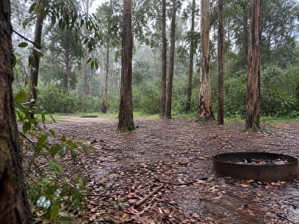 Campground · 10.6 km awayMurphys Glen campgroundA bush night among blue gums, with cockatoos at first light.
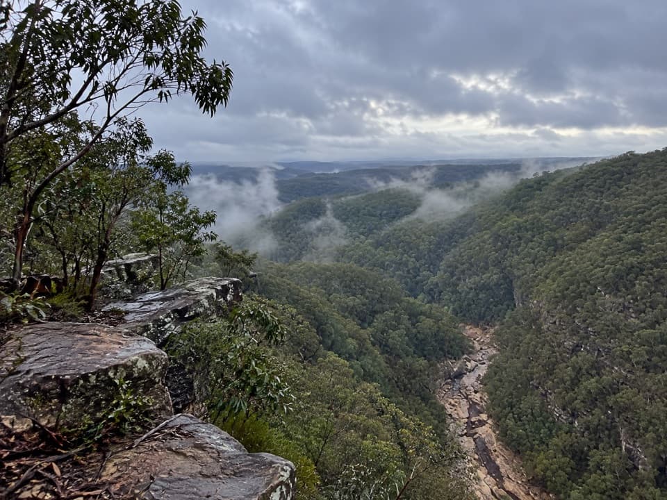 Sight · 11.1 km awayTunnel View lookoutA gorge-edge pause with 1911 tunnels and distant basalt peaks.
Parkwolf’s Blue Mountains ranking

The audio tour guide for the drive, plus offline maps, trails, and wildlife heatmaps for when the signal drops.





