Parking
Start at the small car park at the end of White Cross Road in Winmalee, beside the fire-trail gate.

Blue Mountains National Park, NSW
A 13 km loop to a rock lookout above Lower Grose Valley.
Overview
Grose Head South Lookout via Blue Gum Swamp Track is a 13.2 km loop from the end of White Cross Road. It follows the shaded Blue Gum Swamp creek flats, climbs Bees Nest Hill and Springwood Ridge to a rock platform above the Lower Grose Valley, then returns by Shaws Ridge. Allow about 4 to 5 hours; this is a half-day hike, not the shorter swamp circuit.
 Parkwolf’s verdictIs this the hike for you?
Map & elevation
Plan your hike

The highest, rockiest slopes around here are a summer buffet for grizzly bears.
Blue Mountains Tour Guide
Parkwolf is a GPS audio tour guide for Blue Mountains National Park. As you drive, it chimes in with what’s ahead: hidden gems, upcoming stops, history, geology, and wildlife, right through your car’s speakers.
See the Blue Mountains audio tourMore stories near here in the app
“Fantastic app with many points of information… It’s great to just turn on while you’re driving and it gives you an audio tour of the national Park. We love it!!!!”


Trail guide
From the car park, follow the fire trail into Blue Gum Swamp. At the signed junction in the valley, turn onto Bees Nest Hill; it’s easy to stay on the circuit and miss the lookout branch. The climb is steep, and the track can be rough, before the route continues along Springwood Ridge to the rock platform. Turn back there, retrace the spur, then follow Shaws Ridge to close the loop. Much of the walk is on fire trails, so expect a long approach before the view.
The creek flats are the walk’s gentler change of pace: tall Deane’s blue gums over a ferny understory, with a cooler, shaded feel than the ridges. There are several small creek crossings, which can be deeper after heavy rain. Waratahs are reported flowering around September and October. The swamp is habitat for yellow-bellied gliders, gang-gang cockatoos and powerful owls, though sightings are never guaranteed.
The payoff is a broad view across the forested Lower Grose Valley from a rocky platform. Springwood Creek meets the Grose River below, with Kariwoga Ridge between them. For a phone photo, include the rock edge or a gum branch in the foreground to give the ridges some depth. The farther summit trig has more limited views, so I’d turn around at the open platform unless visiting the trig itself is your goal.
The small car park is at the end of White Cross Road in Winmalee, beside the fire-trail gate. No drinking-water point is documented along the route, so start with enough for the full walk. Pets aren’t permitted in NSW national parks; trained assistance animals are allowed.
The mapped distance includes the lookout’s out-and-back spur. It ends at the Grose Head South lookout rock platform, not the farther summit trig; routes that continue to the trig or take another return line will be longer.
Wildlife
 58 sightingsGrey KangarooMost seen around 6 AMSighting map
 43 sightingsWombatMost seen around 6 PMSighting map
 18 sightingsRed-necked WallabyMost seen around 6 PMSighting map
 53 sightingsSwamp WallabyMost seen around 7 AMSighting map
 23 sightingsBrushtail PossumMost seen around 7 PMSighting map
 30 sightingsRing-tailed PossumMost seen around 7 PMSighting map
Sighting maps show where each species has been reported across Blue Mountains. Wildlife moves, so no sighting is guaranteed.
Keep exploring
 ModerateBlue Gum Swamp and Shaws Ridge Loop9.1 km · 3 hr · At the trailheadRidge fire trail gives way to a fern-filled blue gum valley.
 ModerateFaulconbridge Ridge Trail13.7 km · 3.5 hr · 5.6 km awayWalk a shaded firetrail to a rocky lookout over the Grose River.
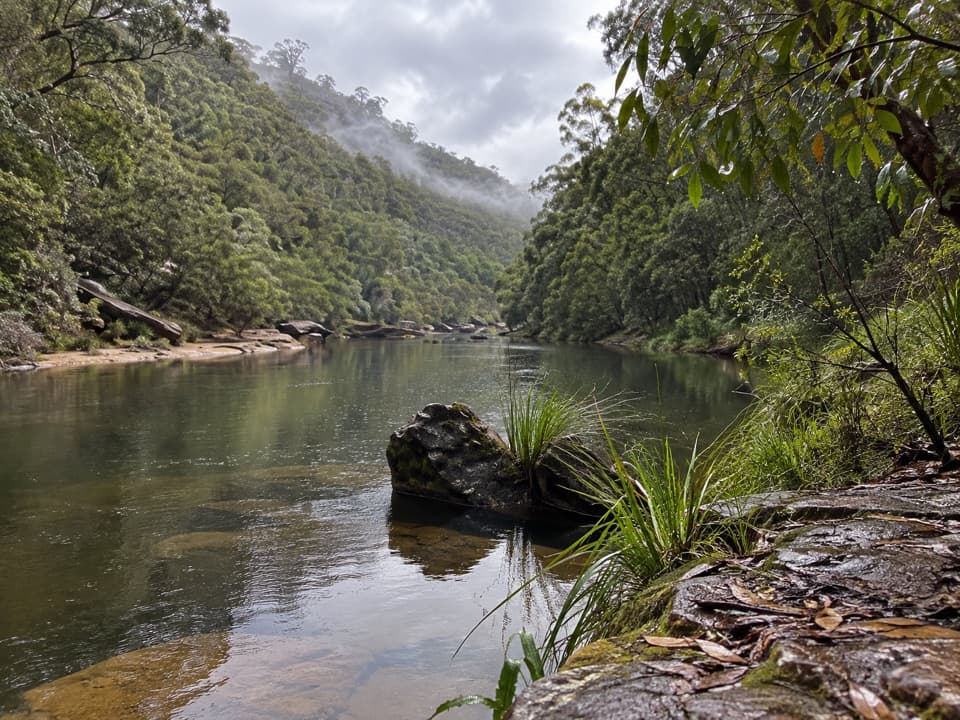 ChallengingGrose River Walking Track from Faulconbridge15.1 km · 6.3 hr · 5.8 km awayA long ridge walk drops steeply to a remote Grose River pool.
 ModerateSassafras Gully, Victory Track and Magdala Gully Loop10.2 km · 4.5 hr · 5.8 km awaySandstone gullies, waterfalls and creekside track from Springwood.
 ChallengingWarrimoo to Glenbrook via St Helena16.8 km · 6.5 hr · 6.4 km awayFollow the ridge to Glenbrook, with sandstone lookouts and a creek beach.
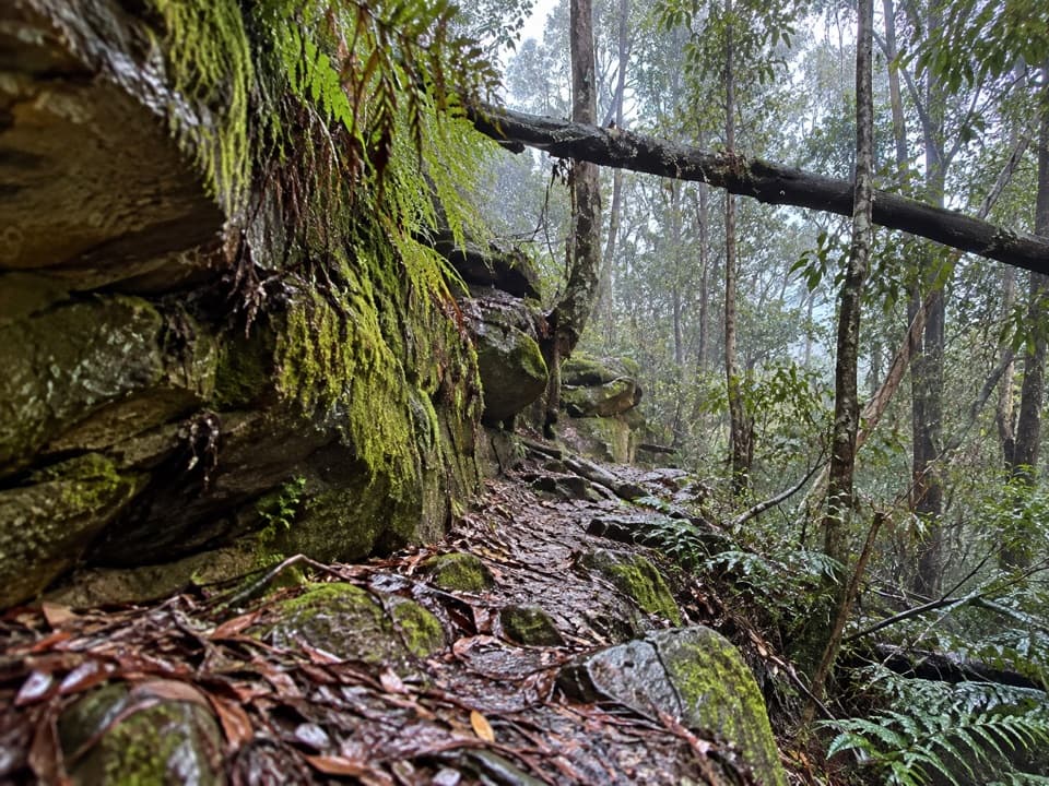 ChallengingFaulconbridge to Springwood via Sassafras Gully6.1 km · 3 hr · 7.9 km awayA shaded creek descent ends with a tough climb to Springwood.
 ChallengingMartin's Lookout to Lost World Lookout6 km · 3.5 hr · 8.4 km awayA steep creek crossing links two lookouts across Glenbrook Valley.
 ModerateDuck Hole walking track3 km · 2 hr · 11.3 km awaySandstone cliffs and a sandy swimming hole reward this bush walk.
 Sight · 5.9 km awayVale of Avoca lookoutA broad Grose Valley panorama after a very short walk.
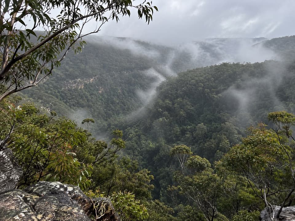 Sight · 8.5 km awayMartin's LookoutA brief lookout over Glenbrook Creek's sandstone gorge
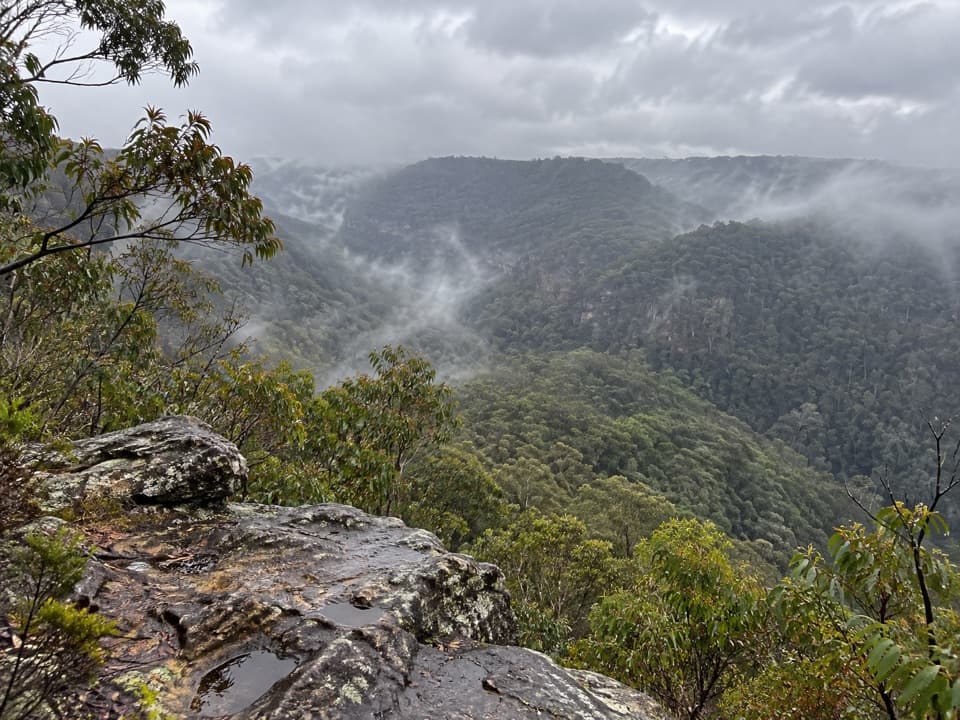 Sight · 9.1 km awayLost World LookoutA steep walk to a cross above Glenbrook Gorge.
 Campground · 12.1 km awayBurralow Creek campground and picnic areaSleep by the creek, then walk to Bulcamatta Falls.
 Sight · 12.3 km awayBlue PoolA short, stepped walk to a sandy, fern-fringed creek pool.
 Entrance station · 12.7 km awayGlenbrook Entrance and Information CentreA practical gateway and start point for the Jellybean Pool walk.
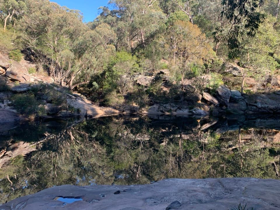 Beach · 13 km awayJellybean PoolA sandy creekside swim beneath Glenbrook Gorge’s sandstone walls.
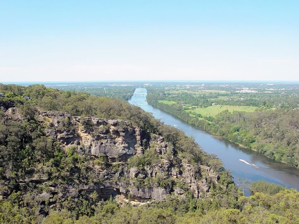 Sight · 13.2 km awayPortal lookoutA gorge-to-plain panorama from the end of a short all-access path.
Parkwolf’s Blue Mountains ranking
The audio tour guide for the drive, plus offline maps, trails, and wildlife heatmaps for when the signal drops.





