Parking
Follow Grose Road past Jennings Road and keep left onto the dirt access road. A small car park is about 200 m in, before the locked gate; start the mapped walk at the gate.

Blue Mountains National Park, NSW
Walk a shaded firetrail to a rocky lookout over the Grose River.
Overview
Map & elevation
Plan your hike

The highest, rockiest slopes around here are a summer buffet for grizzly bears.
Blue Mountains Tour Guide
Parkwolf is a GPS audio tour guide for Blue Mountains National Park. As you drive, it chimes in with what’s ahead: hidden gems, upcoming stops, history, geology, and wildlife, right through your car’s speakers.
See the Blue Mountains audio tourRecorded for this area
Parkes Came Home to Faulconbridge“One of the strongest campaigners for a united Australia is buried in Faulconbridge's little cemetery on Sir Henrys Parade.”
Plays on the road 2.8 km from the trailhead in the Parkwolf Blue Mountains Tour Guide.
More stories near here in the app
“Fantastic app with many points of information… It’s great to just turn on while you’re driving and it gives you an audio tour of the national Park. We love it!!!!”


Trail guide
This is a 13.8 km out-and-back from the locked vehicle gate at the end of Grose Road to Faulconbridge Point. The mapped leg is about 6.9 km each way; some local trail descriptions quote 6.4–6.5 km from the gate. Allow about 3.5 hours. The mostly smooth, sandy firetrail stays shaded through wooded bushland, with gentle undulations and a few longer hills. A local route estimate puts the total climbing near 300 m. It suits walkers who enjoy the ridge journey as much as the final view; it is a long way for a single lookout.
Near the end, a short, narrow path leaves the firetrail for a broad rocky platform above the Grose River and Lower Grose Valley. The ledge is unfenced above a steep drop, so stay well back from the edge. A separate steep descent continues toward the river and a swimming hole; it is not part of this ridge return. Mountain bikers and trail runners also use the firetrail.
Spring brings yellow pea flowers, pink boronias, and creamy bloodwood and tea tree blooms along the ridge. The small car park is on the dirt access road about 200 m beyond Jennings Road, before the locked vehicle gate. Pets are not permitted in the national park.
Wildlife
 58 sightingsGrey KangarooMost seen around 6 AMSighting map
 43 sightingsWombatMost seen around 6 PMSighting map
 18 sightingsRed-necked WallabyMost seen around 6 PMSighting map
 53 sightingsSwamp WallabyMost seen around 7 AMSighting map
 23 sightingsBrushtail PossumMost seen around 7 PMSighting map
 30 sightingsRing-tailed PossumMost seen around 7 PMSighting map
Sighting maps show where each species has been reported across Blue Mountains. Wildlife moves, so no sighting is guaranteed.
Keep exploring
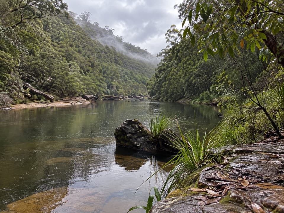 ChallengingGrose River Walking Track from Faulconbridge15.1 km · 6.3 hr · 0.2 km awayA long ridge walk drops steeply to a remote Grose River pool.
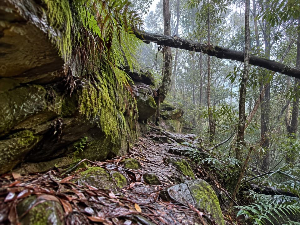 ChallengingFaulconbridge to Springwood via Sassafras Gully6.1 km · 3 hr · 3.6 km awayA shaded creek descent ends with a tough climb to Springwood.
 ModerateSassafras Gully, Victory Track and Magdala Gully Loop10.2 km · 4.5 hr · 3.8 km awaySandstone gullies, waterfalls and creekside track from Springwood.
 ModerateGrose Head South Lookout via Blue Gum Swamp Track13.2 km · 4.5 hr · 5.6 km awayA 13 km loop to a rock lookout above Lower Grose Valley.
 ModerateBlue Gum Swamp and Shaws Ridge Loop9.1 km · 3 hr · 5.6 km awayRidge fire trail gives way to a fern-filled blue gum valley.
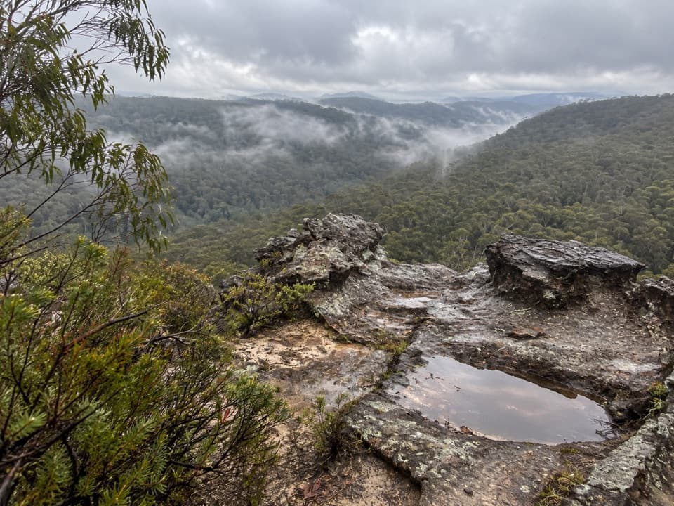 ModerateLinden Ridge Firetrail14.5 km · 3.5 hr · 6.6 km awayA long ridge firetrail with intermittent sandstone views.
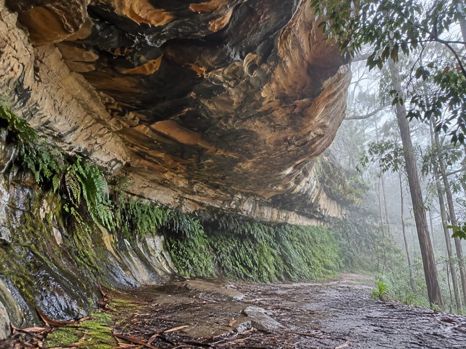 EasyKings Cave walk0.3 km · 20 min · 7.2 km awayA quick walk to a broad sandstone shelter in Linden.
 ChallengingWarrimoo to Glenbrook via St Helena16.8 km · 6.5 hr · 7.8 km awayFollow the ridge to Glenbrook, with sandstone lookouts and a creek beach.
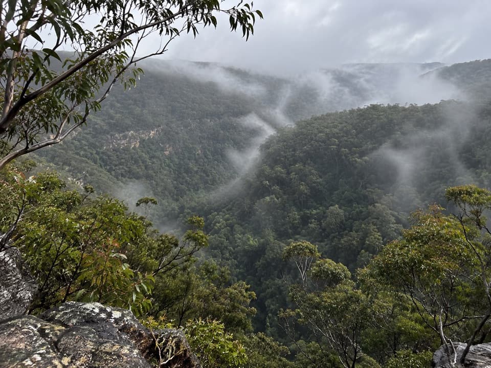 Sight · 7.9 km awayMartin's LookoutA brief lookout over Glenbrook Creek's sandstone gorge
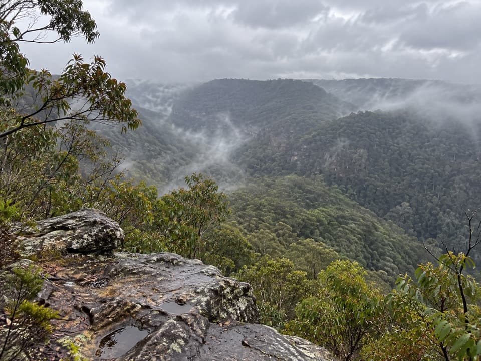 Sight · 8.4 km awayLost World LookoutA steep walk to a cross above Glenbrook Gorge.
 Sight · 9.5 km awayVale of Avoca lookoutA broad Grose Valley panorama after a very short walk.
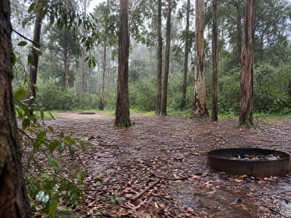 Campground · 12.8 km awayMurphys Glen campgroundA bush night among blue gums, with cockatoos at first light.
 Campground · 13.3 km awayBurralow Creek campground and picnic areaSleep by the creek, then walk to Bulcamatta Falls.
 Sight · 13.4 km awayRed Hands CaveLayered hand stencils survive in a small sandstone shelter.
 Sight · 13.5 km awayBlue PoolA short, stepped walk to a sandy, fern-fringed creek pool.
 Entrance station · 14 km awayGlenbrook Entrance and Information CentreA practical gateway and start point for the Jellybean Pool walk.
Parkwolf’s Blue Mountains ranking

The audio tour guide for the drive, plus offline maps, trails, and wildlife heatmaps for when the signal drops.





