Jellybean track in Blue Mountains National Park

Blue Mountains National Park, NSW

Jellybean track

A short pool walk with a stair-heavy climb on the way back.

Photo: Wikimedia Commons
Length
1km
Time
45min
Elev. change
58m
Difficulty
Moderate
  • No dogs
  • High point 146 m

Hear the audio tour

Jellybean Pool's Sandy Creek Beach

Overview

About Jellybean track

Why go

  • A sandy pool and sandstone gorge make a rewarding short outing.

Heads up

  • Many steps make the return harder than the short distance suggests.

Map & elevation

The route

Loading the Blue Mountains map
Full map
Elevation88–146 m
TrailheadGlenbrook Information Centre-33.77855, 150.62044
Keep this map with you offline in the Parkwolf app

Plan your hike

Before you go

Parking

Start at Glenbrook Information Centre on Bruce Road; parking can be limited on weekends. Flush toilets and drinking water are there. To shorten the walk, drive past the park entrance to Jellybean car park on Jellybean Road. Park entry fees apply, and gate hours vary by season.

Safety

The return has many steps. Swimming can be dangerous after heavy rain; ask staff at Glenbrook Information Centre about bacteria levels before entering the water. Dogs and domestic animals are prohibited except certified assistance animals.

3 active Blue Mountains alerts

  • ClosureRoads and tracks closed across Blue Mountains National ParkMany roads, fire trails and walking tracks across Blue Mountains National Park are closed; do not enter closed areas.Official details
  • CautionPark-wide solid-fuel fire banA park fire ban is active across Blue Mountains National Park: campfires and solid-fuel barbecues and stoves are prohibited. - Gas and electric cookers are permitted, subject to safety rules.Official details
See all 3 alerts
A park ranger sits on a dash-mounted phone, talking, as Parkwolf’s Tour Guide plays “Army Cutworm Moths: A Grizzly Bear Buffet” on Grand Loop Road below Dunraven Pass in Yellowstone
Parkwolf Tour GuideThe highest, rockiest slopes around here are a summer buffet for grizzly bears.

Blue Mountains Tour Guide

Your drive to Jellybean track, narrated.

Parkwolf is a GPS audio tour guide for Blue Mountains National Park. As you drive, it chimes in with what’s ahead: hidden gems, upcoming stops, history, geology, and wildlife, right through your car’s speakers.

See the Blue Mountains audio tour

Recorded for this trailhead

Jellybean Pool's Sandy Creek Beach
0:00 / 0:31
“Jellybean Pool is coming up, a freshwater swimming hole with sandy banks and rock shelves beneath the sandstone cliffs of Glenbrook Gorge. I'd stop for a creekside picnic or a swim, though hot weekends can be busy.”

Plays as you drive up to this trailhead in the Parkwolf Blue Mountains Tour Guide.

More stories near here in the app

  • Blue Pool from the Glenbrook Entrance
  • Why the Rainbow Moves
  • The Pigeon You Hear First
  • Portal Lookout: Gorge, River and Lapstones
  • 188 audio storiesacross Blue Mountains’s roads, triggered by GPS as you drive
  • Wildlife heatmapsfor Grey Kangaroo, Wombat, Red-necked Wallaby, and 13 more
  • Works offlinemaps, 110 trails, 84 places, and audio download before you lose signal
  • CarPlay readysimple controls built for the drive
★★★★★
“Fantastic app with many points of information… It’s great to just turn on while you’re driving and it gives you an audio tour of the national Park. We love it!!!!”
JMJamesApp Store review
Download Parkwolf on the App StoreGet Parkwolf on Google Play

4.7 from 8,600+ ratings

Trail guide

Hiking Jellybean track

The full walkJellybean track is a short out-and-back from Glenbrook Information Centre to Jellybean Pool in…

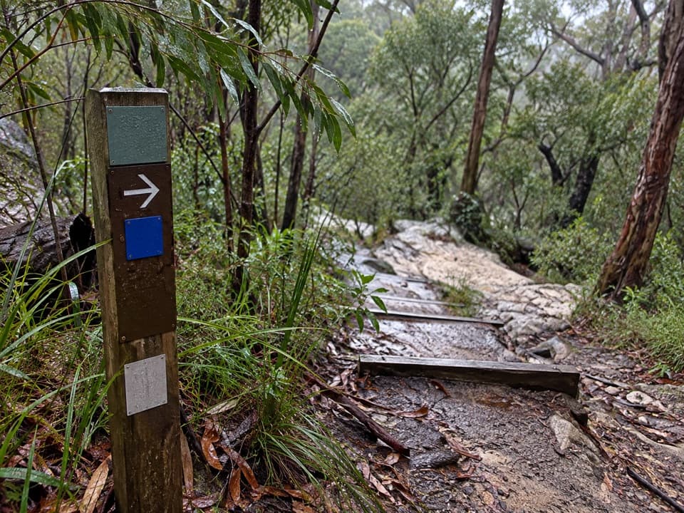
Jellybean track is a short out-and-back from Glenbrook Information Centre to Jellybean Pool in Glenbrook Gorge. The official route is 1 km return and takes 30 minutes to an hour. The formed, signed path has a lot of steps. The pool is an easy, satisfying finish; expect the climb back to take more effort than the distance suggests.

A shorter startYou can drive past the park entrance to Jellybean car park for a much shorter descent.

You can drive past the park entrance to Jellybean car park for a much shorter descent. That is a different starting point, and no official distance is given for it; the 1 km figure is from the Information Centre. The upper start also puts toilets and a drinking-water refill before the walk.

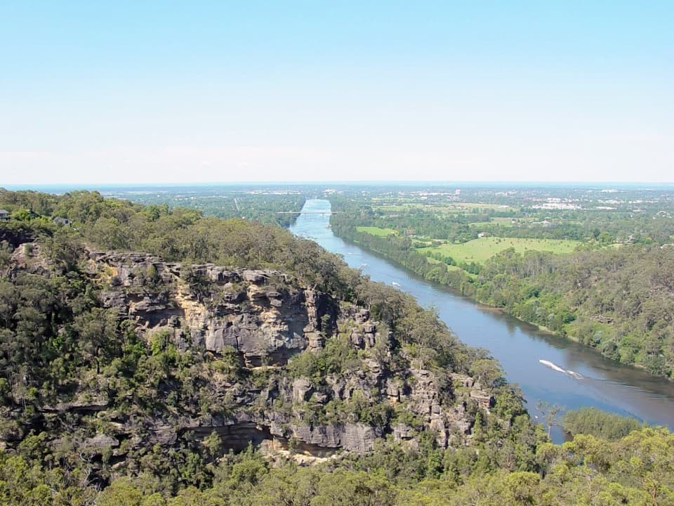
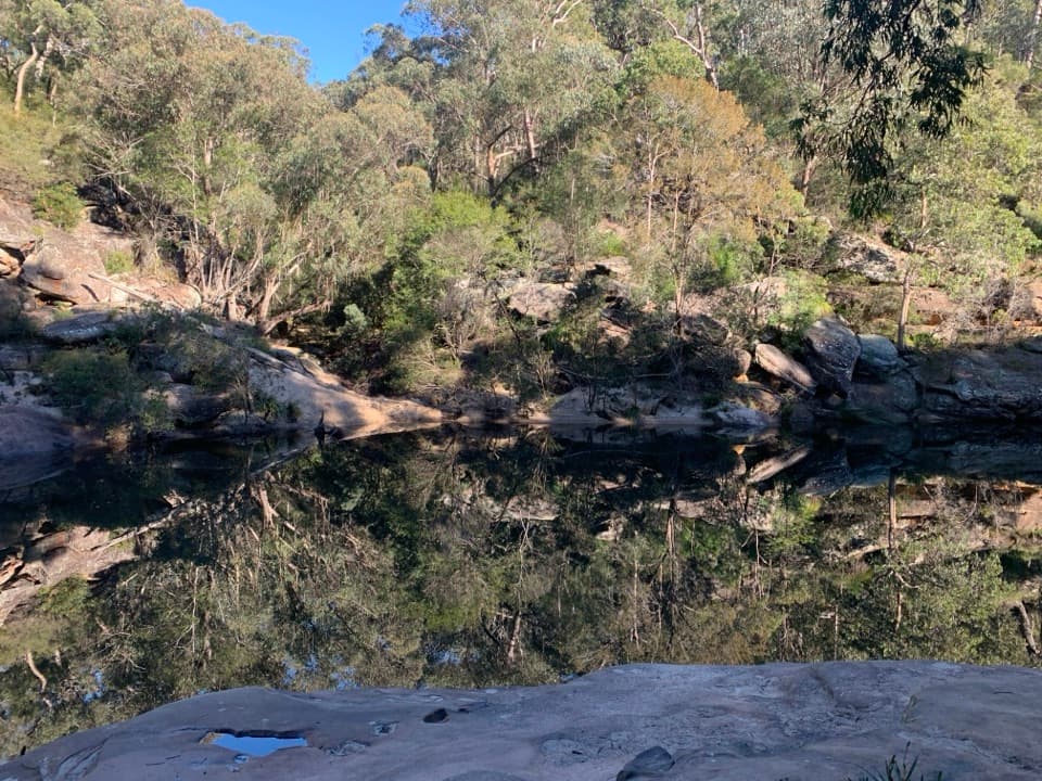
By the poolSandstone cliffs close around the water, with sandy banks and gum-tree shade.

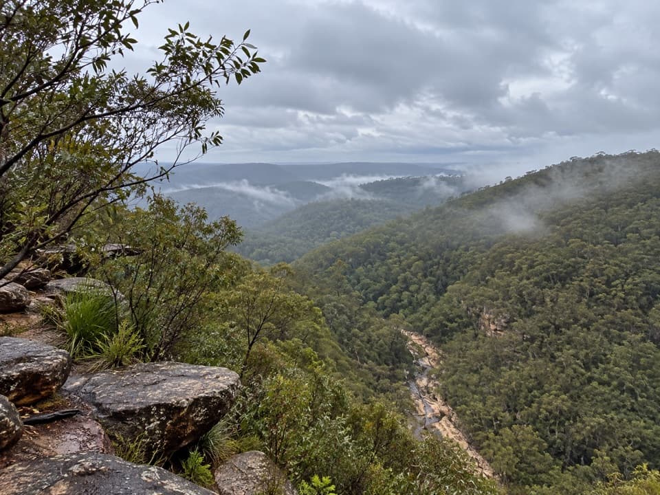
Sandstone cliffs close around the water, with sandy banks and gum-tree shade. This is the place to swim or spread out a picnic. From the sandy edge, include the rock walls and gum reflections in a photo; the water alone misses the gorge setting.

Trees and birdsThe track passes mountain spotted gums and grass trees.

The track passes mountain spotted gums and grass trees. Keep an eye out for kestrels and other raptors, rainbow lorikeets, gang-gang cockatoos and azure kingfishers; sightings are possible, not promised.

Before you goThis is a Grade 3 walk: some bushwalking experience is recommended, and the steps make the…

This is a Grade 3 walk: some bushwalking experience is recommended, and the steps make the return a real climb. Park entry fees apply and gate hours change by season, so check access times before driving in. Dogs and other pets aren't allowed, apart from certified assistance animals. If you plan to swim, ask staff at Glenbrook Information Centre about bacteria levels; swimming can be dangerous after heavy rain.

Wildlife

Wildlife in Blue Mountains

All Blue Mountains wildlife maps

Sighting maps show where each species has been reported across Blue Mountains. Wildlife moves, so no sighting is guaranteed.

Keep exploring

Near Jellybean track

See it all on the map

Trails that start nearby

Places near the trailhead

Parkwolf’s Blue Mountains ranking

Top-rated trails in Blue Mountains

All 110 trails
  1. 1Grand Canyon trackModerate · 6.3 km
  2. 2Three Sisters walkEasy · 0.8 km
  3. 3Lockley Pylon walking trackModerate · 7 km
  4. 4National PassChallenging · 5.1 km
  5. 5Wentworth Pass loop walking trackChallenging · 5 km
  6. 6Prince Henry Cliff walkModerate · 7 km

Take Parkwolf to Blue Mountains.

The audio tour guide for the drive, plus offline maps, trails, and wildlife heatmaps for when the signal drops.

4.7 from 8,600+ ratings

Download Parkwolf on the App StoreGet Parkwolf on Google Play