Parking
Informal street parking at the end of Station Street, Glenbrook; there is no official lot. Keep the fire-trail gate and resident access clear.

Blue Mountains National Park, NSW
Sandstone cliffs and a sandy swimming hole reward this bush walk.
Overview
Map & elevation
Plan your hike

The highest, rockiest slopes around here are a summer buffet for grizzly bears.
Blue Mountains Tour Guide
Parkwolf is a GPS audio tour guide for Blue Mountains National Park. As you drive, it chimes in with what’s ahead: hidden gems, upcoming stops, history, geology, and wildlife, right through your car’s speakers.
See the Blue Mountains audio tourRecorded for this area
The Tunnel's Wartime Cargo“Glenbrook's old railway tunnel once stored mustard gas. During the Second World War, the Royal Australian Air Force used the disused tunnel first for bombs, then for chemical weapons.”
Plays on the road 0.3 km from the trailhead in the Parkwolf Blue Mountains Tour Guide.
More stories near here in the app
“Fantastic app with many points of information… It’s great to just turn on while you’re driving and it gives you an audio tour of the national Park. We love it!!!!”


Trail guide
Duck Hole walking track is an unmarked out-and-back from the end of Station Street to a sandy pool on Glenbrook Creek. The shorter mapped route is about 3 km (1.9 miles) return and takes around two hours of walking, with short climbs and a rough scramble near the water. It suits walkers comfortable finding their way without signs.
Distance reports vary: the shorter mapped route is about 3 km return, while other descriptions give 4.3–4.5 km. The longer line is not independently mapped, so check which route you are following before you set out. Current park walking information does not list Duck Hole, and the access arrangement at this informal entry is not clearly stated.
Start at the end of Station Street and follow the worn grassy path into the bush, where it becomes dirt. The route is not signposted and has several forks; take the established left branch at the early fork and follow the gentler main path rather than the steeper, scratchier shortcuts down to the creek. Return the same way. Continuing downstream toward Giant Pool and Glenbrook Beach is a separate, partly off-track creek walk and is not included in this distance.
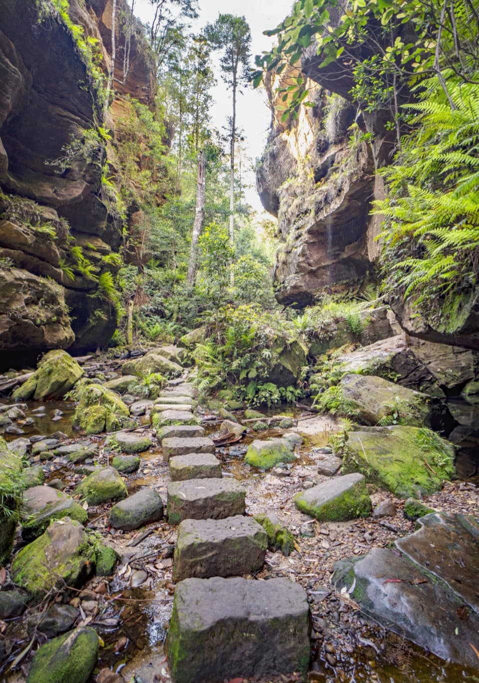
A shallow rock gully leads to a short, steep scramble on tiered sandstone before you reach the creek pools. The main spot has a sandy bank beneath a pitted overhang, with dense bush across the water. A brief creek crossing reaches the broader sandy bank; after heavy rain it may be difficult or impossible, and the rocks can be slippery when wet. For a photo, keep some water in the foreground beneath the overhang so the pool and sandstone read together.
There is no formal car park or toilet at the trailhead; parking is informal along Station Street, so keep the fire-trail gate and resident access clear. No pets are allowed in this national park. Check the local access arrangement before setting out because this unsignposted track is absent from the current park walking list.
Wildlife
 58 sightingsGrey KangarooMost seen around 6 AMSighting map
 43 sightingsWombatMost seen around 6 PMSighting map
 18 sightingsRed-necked WallabyMost seen around 6 PMSighting map
 53 sightingsSwamp WallabyMost seen around 7 AMSighting map
 23 sightingsBrushtail PossumMost seen around 7 PMSighting map
 30 sightingsRing-tailed PossumMost seen around 7 PMSighting map
Sighting maps show where each species has been reported across Blue Mountains. Wildlife moves, so no sighting is guaranteed.
Keep exploring
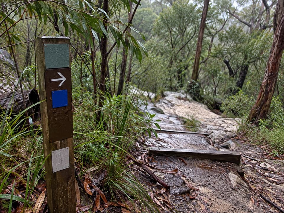 ModerateBlue Pool walking track0.5 km · 24 min · 1.3 km awayA 0.5 km return walk to a fern-fringed creek waterhole.
 ModerateRed Hands Cave walking track8 km · 2 hr · 1.5 km awayA creekside loop to a sandstone shelter layered with hand stencils.
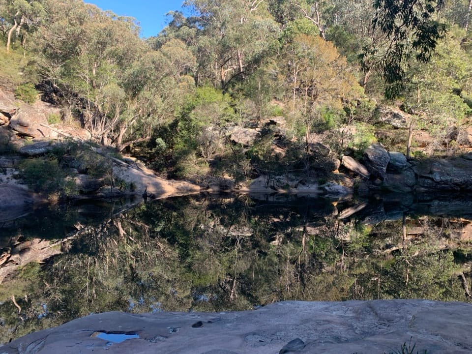 ModerateJellybean track1 km · 45 min · 1.6 km awayA short pool walk with a stair-heavy climb on the way back.
 ModerateGlenbrook Gorge track1.4 km · 1 hr · 1.6 km awaySteep steps descend to Glenbrook Creek's rugged gorge
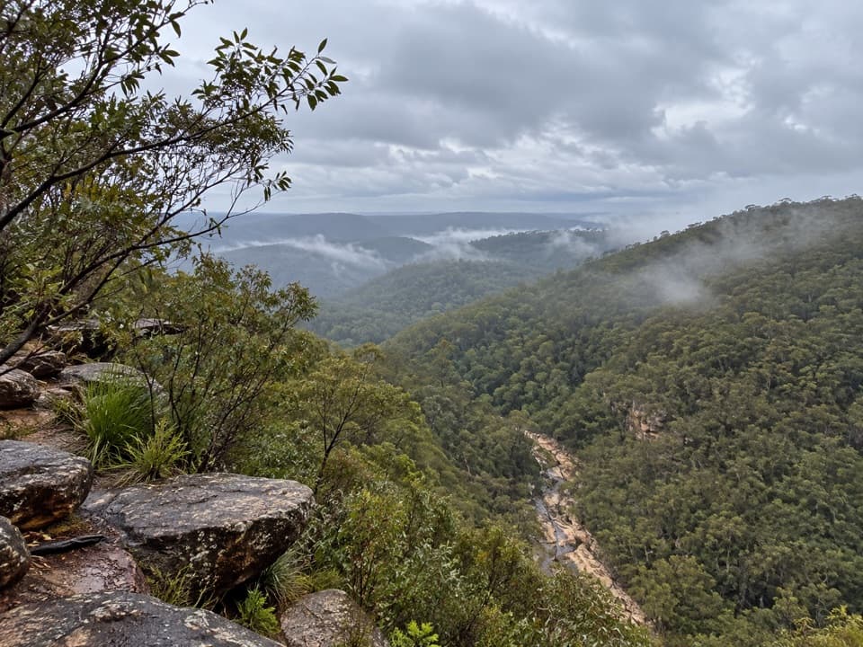 EasyTunnel View walking track0.5 km · 25 min · 2.6 km awayA short walk to a broad valley and two 1911 rail tunnels.
 ModerateNepean River walking track1.8 km · 38 min · 3.7 km awayA quick gorge loop to the Nepean, with a steep climb back.
 ModerateCrayfish Pool and Grey Hat Falls walk1.9 km · 1.5 hr · 3.7 km awayA steep, unmarked out-and-back to a waterfall pool.
 ChallengingMartin's Lookout to Lost World Lookout6 km · 3.5 hr · 4.9 km awayA steep creek crossing links two lookouts across Glenbrook Valley.
 Sight · 1.1 km awayBlue PoolA short, stepped walk to a sandy, fern-fringed creek pool.
 Entrance station · 1.6 km awayGlenbrook Entrance and Information CentreA practical gateway and start point for the Jellybean Pool walk.Beach · 1.7 km awayJellybean PoolA sandy creekside swim beneath Glenbrook Gorge’s sandstone walls.
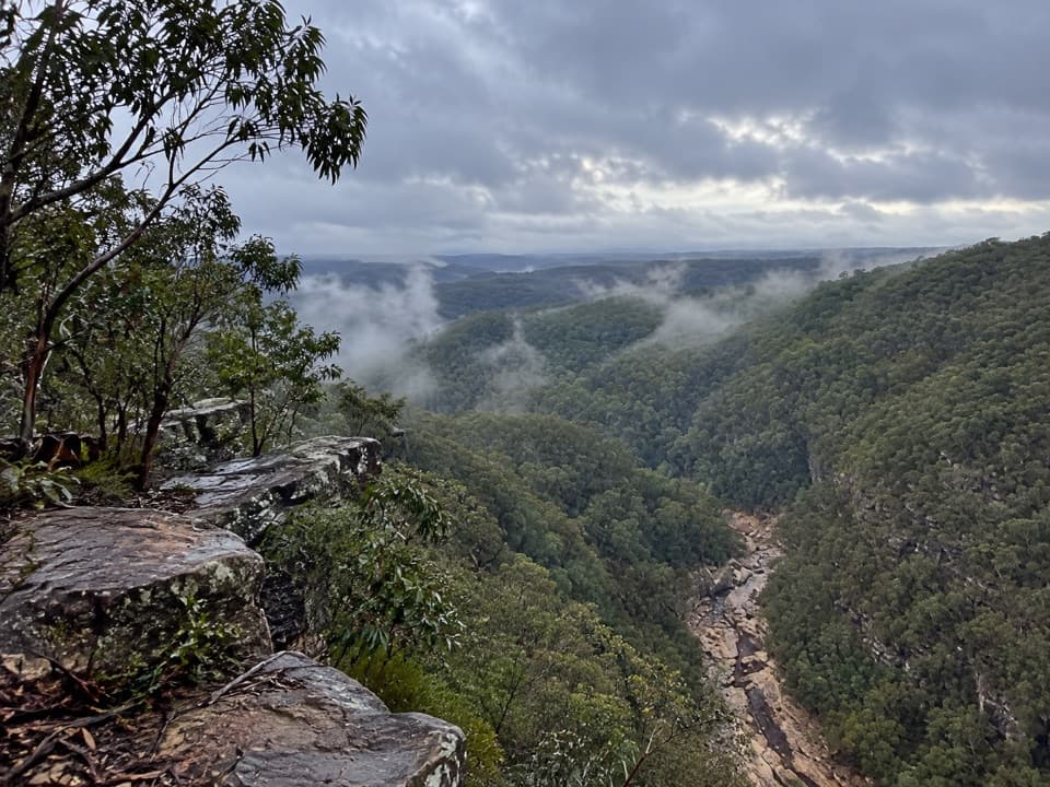 Sight · 2.4 km awayTunnel View lookoutA gorge-edge pause with 1911 tunnels and distant basalt peaks.
 Sight · 2.7 km awayRed Hands CaveLayered hand stencils survive in a small sandstone shelter.
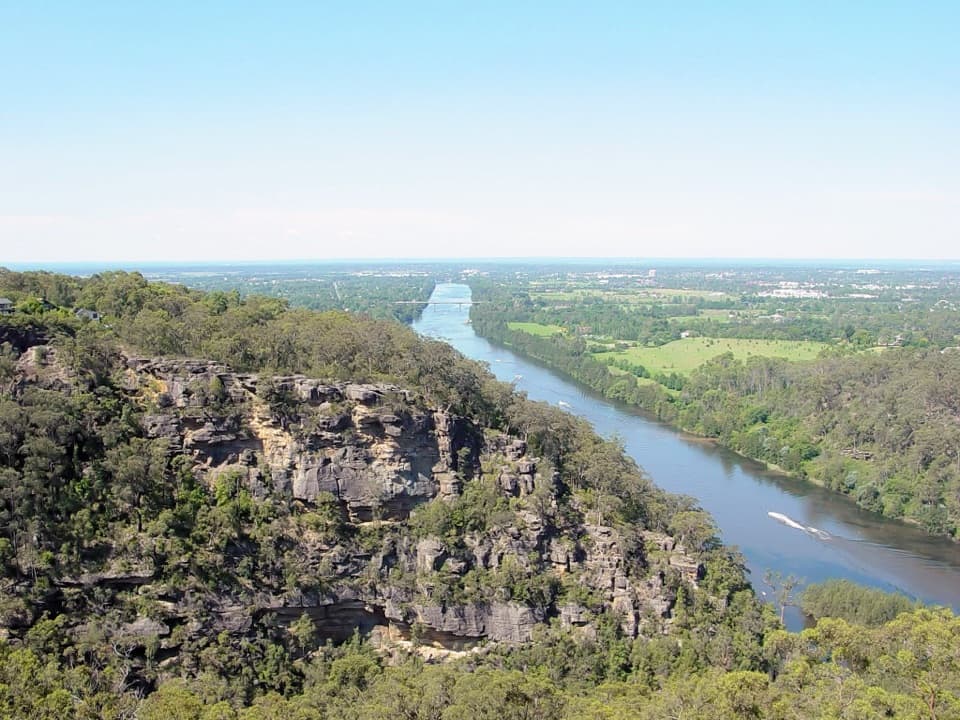 Sight · 2.9 km awayPortal lookoutA gorge-to-plain panorama from the end of a short all-access path.
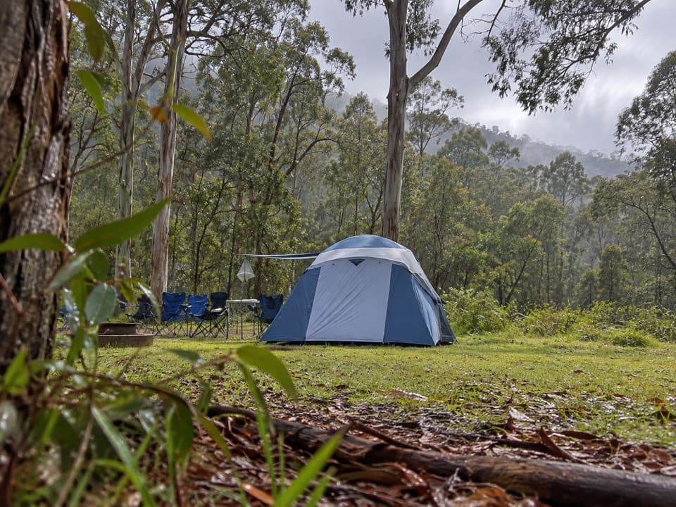 Campground · 3.7 km awayEuroka campgroundFive gum-fringed camping areas; bring water and secure your food.
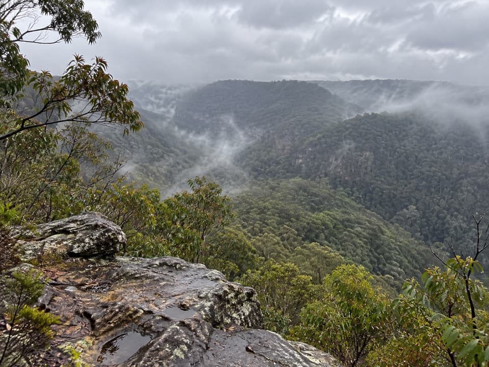 Sight · 4.6 km awayLost World LookoutA steep walk to a cross above Glenbrook Gorge.
Parkwolf’s Blue Mountains ranking

The audio tour guide for the drive, plus offline maps, trails, and wildlife heatmaps for when the signal drops.