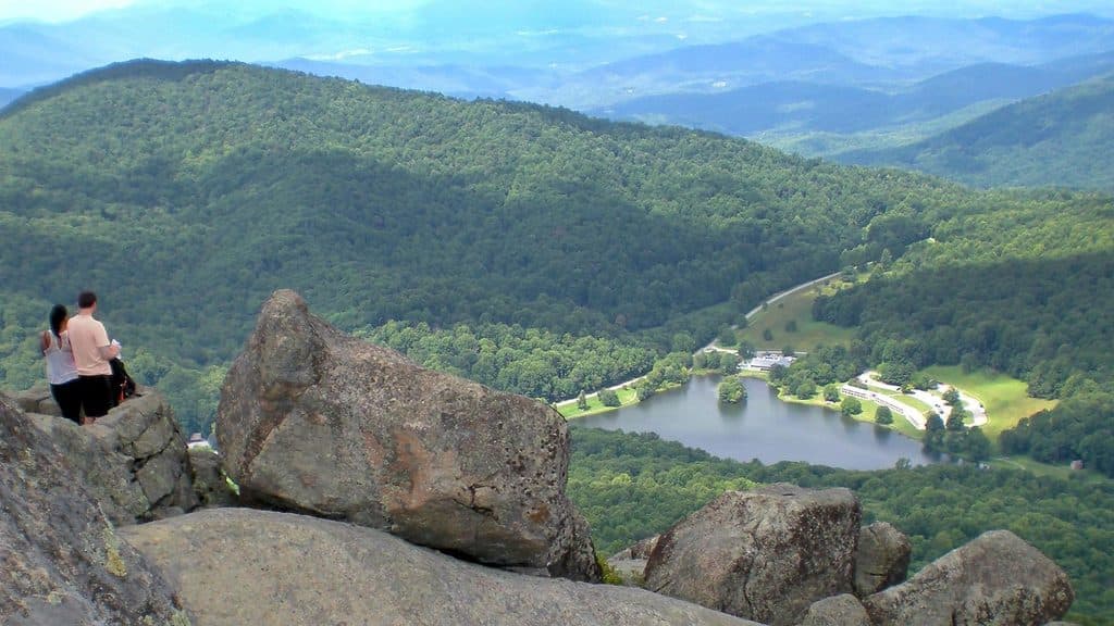
Sharp Top Mountain in Blue Ridge Parkway

#16 of 188 sights in Blue Ridge Parkway

Sight · Blue Ridge Parkway

Sharp Top Mountain

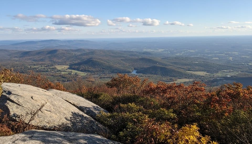
Steep, short climb to a rocky summit with 360-degree views

Photo: National Park Service
Type
Sight
Nearest trail
0.7 mi
Audio stories
4 nearby
  • Trailhead
  • Restrooms
  • Parking
  • Scenic viewpoint

Hear the audio tour

Peaks of Otter Visitor Center and Trail Hub

Overview

About Sharp Top Mountain

Why stop

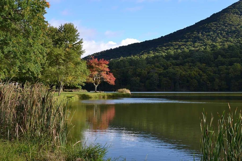
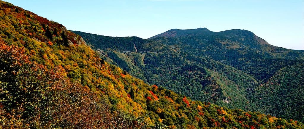
  • Huge 360-degree summit views over Abbot Lake and the Blue Ridge
  • Seasonal shuttle drops you within 0.25 miles of the top

Heads up

  • Short but very steep climb with lots of rocky steps
  • Parking and the trail can be crowded on weekends
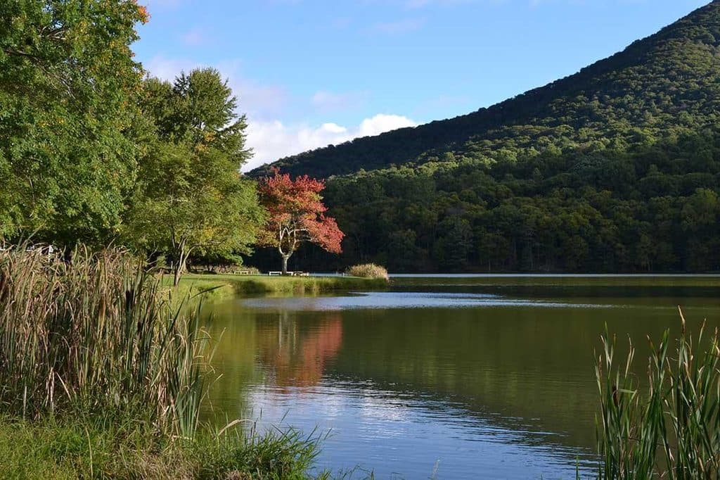
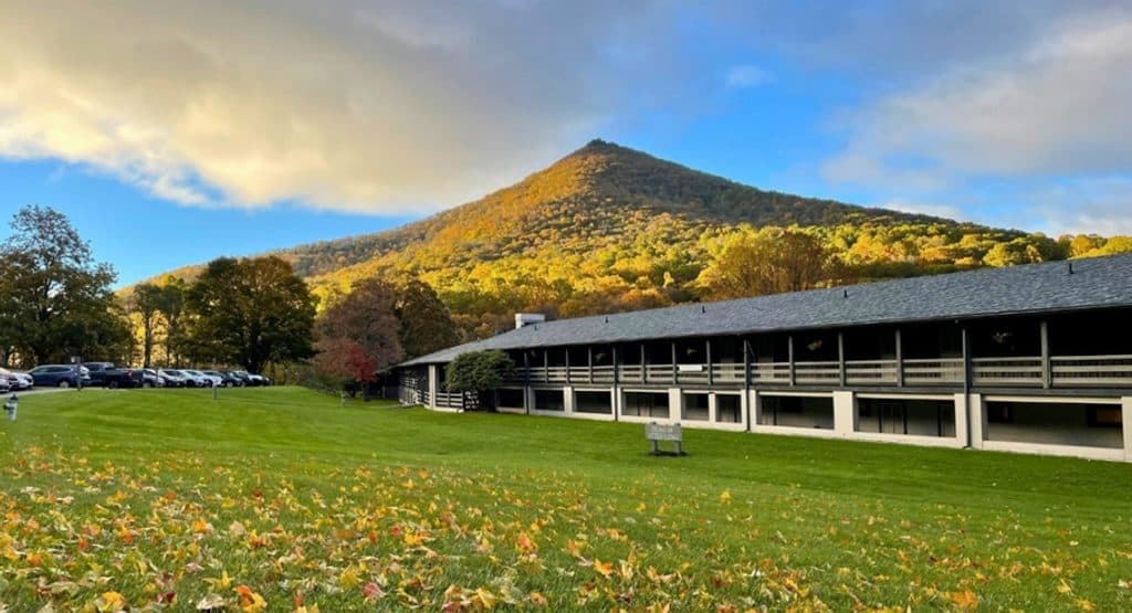
Sharp Top is the Peaks of Otter headliner: a steep, punchy hike to a rocky summit with sweeping, all‑around views of the Blue Ridge, Abbot Lake below, and neighboring Flat Top and Harkening Hill. It’s popular for a reason—this is one of the Parkway’s classic payoffs.
Parkwolf’s verdictWhy go

Map

Where it is

Loading the Blue Ridge Parkway map
Full map
SightSharp Top Mountain37.43347, -79.60504
Keep this map with you offline in the Parkwolf app

Local know-how

Tips for visiting Sharp Top Mountain

  1. Use the Peaks of Otter Visitor Center as your landmark; the turnoff can be easy to miss.

  2. Arrive early on weekends—parking and the summit get crowded fast.

  3. Consider riding the seasonal shuttle up and hiking down to save your legs.

  4. Do not hike or bike the shuttle road; it’s closed to all but the shuttle.

  5. Bring plenty of water and bug repellent, especially in warm months.

Plan your stop

Before you go

Best time to visit

  • Time of day: Sunrise and early morning deliver gorgeous light, cooler temps, and the best shot at parking. Late afternoon also shines; midday can be hot and harsh for photos.
  • Day of week/season: Weekdays are calmer than weekends. Views are year‑round; spring wildflowers and crisp fall air are standouts.
  • Shuttle: Operates seasonally—check current schedules before you go.

Logistics and amenities

  • Trailhead: Across from the Peaks of Otter Visitor Center area.
  • At the base (seasonal): Restrooms and drinking water at the Sharp Top Store; snacks/ice cream are typically available when it’s open.
  • Parking: At the trailhead area; it can fill early on busy days.

2 active Blue Ridge Parkway alerts

  • ClosureNorth Carolina Helene-related closuresAvoid the closed Parkway section from MP 344.2–355.3; recreation of any kind is prohibited there.Official details
  • ClosureVirginia Parkway closures and detourFollow the signed detour around the closed James River Bridge and avoid the closed Roanoke Mountain Loop. - James River Bridge (MP 63.5–63.Official details
Blue Ridge Parkway alerts
A park ranger sits on a dash-mounted phone, talking, as Parkwolf’s Tour Guide plays “Army Cutworm Moths: A Grizzly Bear Buffet” on Grand Loop Road below Dunraven Pass in Yellowstone
Parkwolf Tour GuideThe highest, rockiest slopes around here are a summer buffet for grizzly bears.

Blue Ridge Parkway Tour Guide

Your drive to Sharp Top Mountain, narrated.

Parkwolf is a GPS audio tour guide for Blue Ridge Parkway. As you drive, it chimes in with what’s ahead: hidden gems, upcoming stops, history, geology, and wildlife, right through your car’s speakers.

See the Blue Ridge Parkway audio tour

Recorded for this area

Peaks of Otter Visitor Center and Trail Hub
Listen
“You're now entering the main hub for the Peaks of Otter, all centered around the visitor center. This is the best spot to get oriented, see some nature exhibits, or grab a map.”

Plays on the road 0.8 mi from Sharp Top Mountain in the Parkwolf Blue Ridge Parkway Tour Guide.

More stories near here in the app

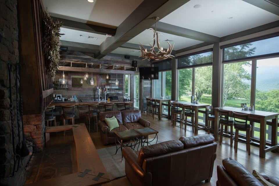
  • Peaks of Otter Lodge, Lake, and Restaurant
  • Johnson Farm Loop: A Walk into the Past
  • Parkway Black Bears: Spotting and Safety
  • Flat Top Trail: The Quieter Summit Hike
  • 277 audio storiesacross Blue Ridge Parkway’s roads, triggered by GPS as you drive
  • Wildlife heatmapsfor Black Bear, Elk, White-tailed Deer, and 13 more
  • Works offlinemaps, 112 trails, 232 places, and audio download before you lose signal
  • CarPlay readysimple controls built for the drive
★★★★★
“…We knew we wanted to drive the Blue Ridge Parkway. The narration was impeccably timed. The facts and info provided were meaningful. Without it, the trip would not have been near as awesome.”
Ashl GApp Store review
Download Parkwolf on the App StoreGet Parkwolf on Google Play

4.7 from 8,600+ ratings

Guide

More about Sharp Top Mountain

The hike and alternativesStandard route: 1.5 miles one way, roughly 1,300 feet of gain.
  • Standard route: 1.5 miles one way, roughly 1,300 feet of gain. Expect an unrelenting grade, stone steps, and uneven, rocky tread. Sturdy footwear helps.
  • Shuttle option (seasonal): A concessionaire bus brings you most of the way up; you’ll still hike a final, steep 0.25 miles of stairs to the top. Note: the Sharp Top Bus Road is closed to hiking, biking, and private vehicles—shuttle only per NPS.
  • Bonus spur: Buzzard’s Roost offers a quieter vantage en route with excellent views.
Summit sceneThe top is a jumble of boulders with a classic stone shelter and big‑sky panoramas in every…

The top is a jumble of boulders with a classic stone shelter and big‑sky panoramas in every direction. It’s photogenic and memorable, but also busy—expect company on fair‑weather weekends and during foliage season.

Wildlife and wildflowersAlong the forested climb, keep an eye out for songbirds, squirrels, and white‑tailed deer;…

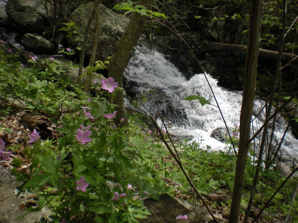
Along the forested climb, keep an eye out for songbirds, squirrels, and white‑tailed deer; black bears are possible but uncommon. In season, the trail edges light up with Appalachian wildflowers and ferns.

Tips for a better experienceIf you want the views without the full grind, take the shuttle up and hike down.
  • If you want the views without the full grind, take the shuttle up and hike down.
  • For a less crowded feel, hit Buzzard’s Roost on the way.
  • Summer can be buggy at the top—pack repellent.

Wildlife

Wildlife in Blue Ridge Parkway

All Blue Ridge Parkway wildlife maps

Sighting maps show where each species has been reported across Blue Ridge Parkway. Wildlife moves, so no sighting is guaranteed.

Keep exploring

Near Sharp Top Mountain

See it all on the map

Trails nearby

More stops nearby

Parkwolf’s Blue Ridge Parkway ranking

Top sights in Blue Ridge Parkway

All 232 places
  1. 1Linn Cove ViaductSight
  2. 2Mount MitchellSight
  3. 3Mount Mitchell State ParkSight
  4. 4Craggy Pinnacle OverlookSight
  5. 5Linville FallsSight
  6. 6Peaks of OtterSight

Take Parkwolf to Blue Ridge Parkway.

The audio tour guide for the drive, plus offline maps, trails, and wildlife heatmaps for when the signal drops.

4.7 from 8,600+ ratings

Download Parkwolf on the App StoreGet Parkwolf on Google Play