Parking
Large informal parking area on the south side of the road at Slochd, grid reference NH847238.

Cairngorms National Park, SC
A historic road, a river bridge, and a woodland memorial.
Overview
Map & elevation
Plan your hike

The highest, rockiest slopes around here are a summer buffet for grizzly bears.
Cairngorms Tour Guide
Parkwolf is a GPS audio tour guide for Cairngorms National Park. As you drive, it chimes in with what’s ahead: hidden gems, upcoming stops, history, geology, and wildlife, right through your car’s speakers.
See the Cairngorms audio tourRecorded for this trailhead
Slochd and Wade's Road Circuit“You're coming up on Slochd, where a walking circuit follows part of General Wade's eighteenth-century military road. Choose it for Sluggan Bridge, pinewoods and open views across the River Dulnain valley.”
Plays as you drive up to this trailhead in the Parkwolf Cairngorms Tour Guide.
More stories near here in the app
“Fantastic app with many points of information… It’s great to just turn on while you’re driving and it gives you an audio tour of the national Park. We love it!!!!”


Trail guide
Archer’s Stone and Wade’s Road Circuit is a 7.75-mile (12.5-km) loop from Slochd, with 178 m of ascent and a typical time of 3 to 3.5 hours. It links forest tracks, a stretch of General Wade’s military road, Sluggan Bridge, grassy woodland paths and a short visit to a memorial before returning across pinewood and open moor. The route shares its first approach: after circling south of Slochd, you retrace the Slochd–Insharn section to finish. It suits a half-day history walk more than a hard climb; the length and turns are the commitment, not the ascent.
From the informal parking area, a track climbs over the railway bridge, with a view of Slochd Viaduct. Follow the forest track to the junction near Insharn, then turn left along the old military road at the forest edge. The track rises and dips, opening broad views across the River Dulnain strath toward the Monadhliath. Ignore the smaller turnings on the right. At the junction by a ruin, turn right and cross Sluggan Bridge. General Wade’s road dates to 1728–30; the bridge was commissioned in 1764 and rebuilt after flood damage in 1769.
Beyond the bridge, pass the cottage and turn onto the left-hand grassy track as it curves into the trees. This lightly used section reaches a minor road, then a larger descending track to a modern wooden bridge over the Dulnain. Take the narrow left fork before the next bridge and pass through the gate into mature pinewood. At the four-way junction, the stone is a short visit off to the left. It commemorates Iain Beag Macandra, whom local tradition remembers as an early-seventeenth-century archer who killed three raiders here. Return to the junction and follow the right-hand track; it opens onto moorland with younger Scots pine growing among older scattered trees, then rejoins the outward route near Insharn.
The start is a large informal parking area on the south side of the road at Slochd (NH847238); no fee or capacity is listed. Several small junctions and lightly used grassy tracks make the woodland section easy to mis-follow, especially around the river crossings and memorial spur, so keep the route to hand. Dogs are allowed under Scotland’s access rules; keep them under proper control around livestock and wildlife.
Wildlife
 159 sightingsRed DeerMost seen around 7 AMSighting map
 63 sightingsReindeerMost seen around 6 PMSighting map
 102 sightingsOspreyMost seen around 5 PMSighting map
 37 sightingsBlack GrouseMost seen around 4 AMSighting map
 72 sightingsRed GrouseMost seen around 6 PMSighting map
 82 sightingsPine MartenMost seen around 9 PMSighting map
Sighting maps show where each species has been reported across Cairngorms. Wildlife moves, so no sighting is guaranteed.
Keep exploring
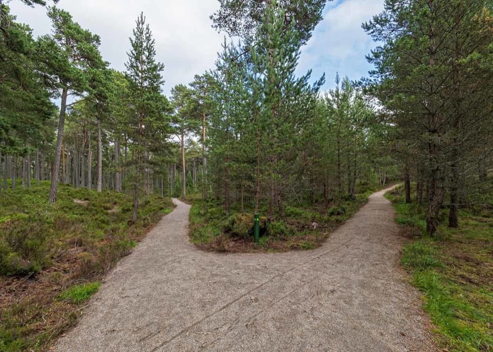 ModerateGlencharnoch Walk0.9 km · 30 min · 5.7 km awayLook for carved seats and wooden sculptures on a short pinewood loop.
 ModerateEllan Wood Circular1.6 km · 45 min · 5.7 km awayA short woodland loop with wetland boardwalks.
 EasyRiverside Path, Carrbridge2.4 km · 1 hr · 5.9 km awayA gentle Dulnain loop with Carrbridge’s 1717 packhorse bridge.
 EasyRailway Path, Carrbridge2.4 km · 45 min · 6 km awayAn easy pine-wood loop with a railway-side stretch.
 ModerateCalderwood Viewpoint Walk3.1 km · 1.5 hr · 6.1 km awayA short, steep moorland walk to views over the Cairngorms.
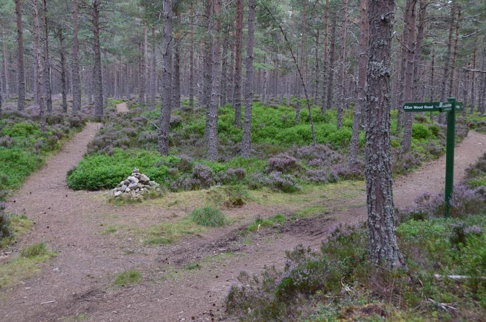 ModerateDocharn Woods Circuit7.6 km · 2.5 hr · 6.1 km awayA 4.75-mile pinewood loop with a rough hill path and Cairngorm views.
 ModerateCarr Plantation Trail4.8 km · 2 hr · 6.1 km awayA 3-mile pinewood circuit past a former parish poorhouse.
 ModerateSlochd Military Road18 km · 6 hr · 8 km awayAn 18th-century military road links bridges, forest and open heather.
 Sight · 6 km awayCarrbridge Old Packhorse BridgeA ruined 1717 bridge with a funeral-route story.
 Sight · 6.2 km awayLandmark Forest Adventure ParkForest trails, tower views and water rides fill a full family day.
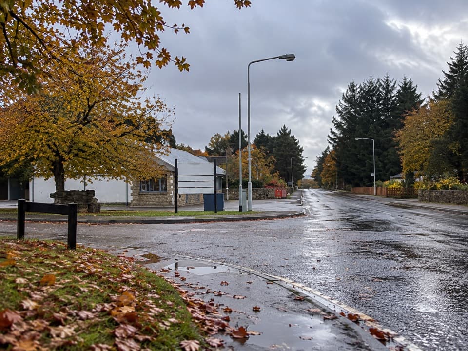 Lodging · 10.2 km awayBoat of Garten Holiday ParkA handy village base for exploring Strathspey and the Cairngorms.
 Campground · 10.3 km awayOakwood Caravan & Camping ParkOak-shaded camping, with Aviemore a 20–30-minute walk away.
 Sight · 11.5 km awayCairngorm BreweryA small Aviemore taproom for trying local ales and taking favourites home.
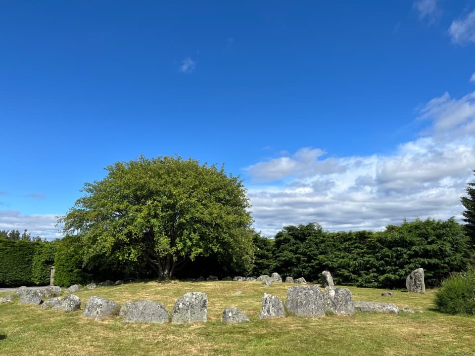 Sight · 11.5 km awayAviemore Ring Cairn and Stone CircleA small prehistoric circle in Aviemore’s unexpected village setting.
 Sight · 12.4 km awayStrathspey RailwayA vintage train runs through Speyside to TV-famous Broomhill.
 Visitor center · 13.1 km awayThe Speyside CentreA plant-filled café stop with clootie dumpling and Highland gifts.
Parkwolf’s Cairngorms ranking

The audio tour guide for the drive, plus offline maps, trails, and wildlife heatmaps for when the signal drops.





