Parking
Use Carrbridge’s public main village car park, a short walk from the Old Pack Horse Bridge start.

Cairngorms National Park, SC
A gentle Dulnain loop with Carrbridge’s 1717 packhorse bridge.
Overview
Map & elevation
Plan your hike

The highest, rockiest slopes around here are a summer buffet for grizzly bears.
Cairngorms Tour Guide
Parkwolf is a GPS audio tour guide for Cairngorms National Park. As you drive, it chimes in with what’s ahead: hidden gems, upcoming stops, history, geology, and wildlife, right through your car’s speakers.
See the Cairngorms audio tourRecorded for this trailhead
Carrbridge's Coffin Bridge“Up ahead in Carrbridge is the old packhorse bridge, a narrow stone arch over the River Dulnain. Built in seventeen seventeen, it carried funeral parties towards Duthil Churchyard, earning the name Coffin Bridge.”
Plays as you drive up to this trailhead in the Parkwolf Cairngorms Tour Guide.
More stories near here in the app
“Fantastic app with many points of information… It’s great to just turn on while you’re driving and it gives you an audio tour of the national Park. We love it!!!!”


Trail guide
Riverside Path is a mostly level loop from Carrbridge’s Old Pack Horse Bridge, west along the River Dulnain to Ellan Bridge, then back through the village on Station Road. Plan about 1.5 miles and an hour. Distance descriptions differ: an older village map gives one mile, while the current route information gives 1.5, so use the longer figure for the full circuit.
The riverside stretch follows the north bank on firm gravel, with a short rough-track section and boardwalk. Cross the river at Ellan Bridge, rebuilt in 1992, then return by Station Road. The walk is easy overall, with a few short slopes near the garage; the village-road finish means it is not a continuous riverside path. Expect an ordinary village stroll, not a remote woodland hike.
The stone packhorse bridge dates to 1717. The 1829 Muckle Spate flood swept away its parapets, leaving the open arch that still makes this the walk’s most memorable landmark. Pause on the riverbank and frame the arch with water beneath it for the clearest sense of its shape.
The public main village car park is a short walk from the bridge, which is the route start. Dogs are welcome; keep them close to heel or on a short lead and follow local signs. Watch your footing on the rough patch, boardwalk and bridge approaches.
Wildlife
 159 sightingsRed DeerMost seen around 7 AMSighting map
 63 sightingsReindeerMost seen around 6 PMSighting map
 102 sightingsOspreyMost seen around 5 PMSighting map
 37 sightingsBlack GrouseMost seen around 4 AMSighting map
 72 sightingsRed GrouseMost seen around 6 PMSighting map
 82 sightingsPine MartenMost seen around 9 PMSighting map
Sighting maps show where each species has been reported across Cairngorms. Wildlife moves, so no sighting is guaranteed.
Keep exploring
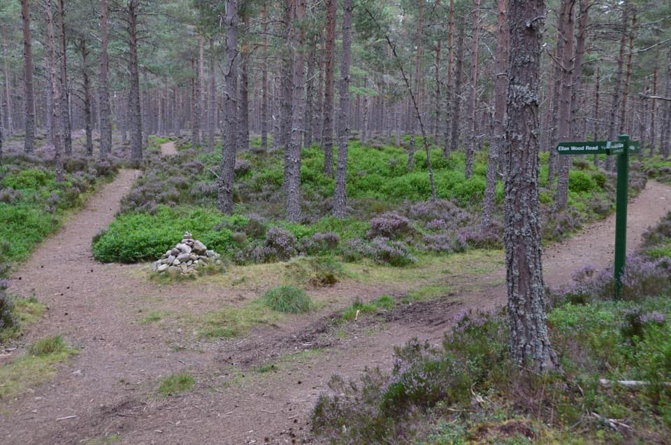 ModerateDocharn Woods Circuit7.6 km · 2.5 hr · 0.2 km awayA 4.75-mile pinewood loop with a rough hill path and Cairngorm views.
 ModerateCalderwood Viewpoint Walk3.1 km · 1.5 hr · 0.2 km awayA short, steep moorland walk to views over the Cairngorms.
 EasyRailway Path, Carrbridge2.4 km · 45 min · 0.3 km awayAn easy pine-wood loop with a railway-side stretch.
 ModerateCarr Plantation Trail4.8 km · 2 hr · 0.3 km awayA 3-mile pinewood circuit past a former parish poorhouse.
 ModerateEllan Wood Circular1.6 km · 45 min · 0.3 km awayA short woodland loop with wetland boardwalks.
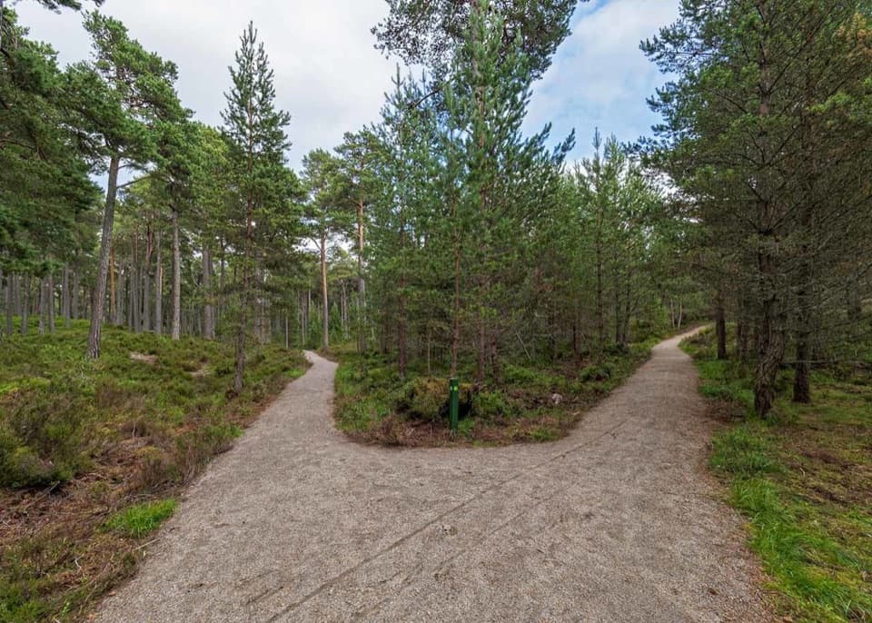 ModerateGlencharnoch Walk0.9 km · 30 min · 0.3 km awayLook for carved seats and wooden sculptures on a short pinewood loop.
 ModerateSlochd Military Road18 km · 6 hr · 4.2 km awayAn 18th-century military road links bridges, forest and open heather.
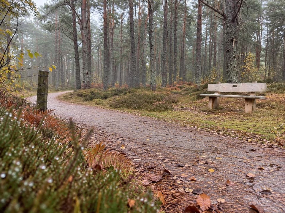 EasyCapercaillie Trail, Boat of Garten1.6 km · 45 min · 5.1 km awayEasy pinewood loop with benches and a capercaillie story
 Sight · At the trailheadCarrbridge Old Packhorse BridgeA ruined 1717 bridge with a funeral-route story.
 Sight · 0.7 km awayLandmark Forest Adventure ParkForest trails, tower views and water rides fill a full family day.
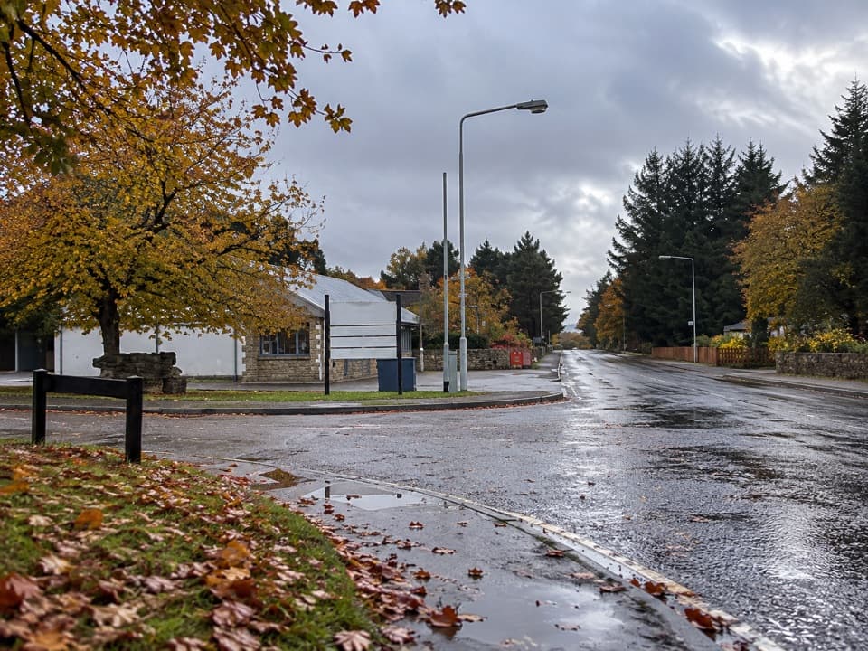 Lodging · 5 km awayBoat of Garten Holiday ParkA handy village base for exploring Strathspey and the Cairngorms.
 Visitor center · 7.2 km awayThe Speyside CentreA plant-filled café stop with clootie dumpling and Highland gifts.
 Campground · 8 km awayOakwood Caravan & Camping ParkOak-shaded camping, with Aviemore a 20–30-minute walk away.
 Visitor center · 8.5 km awayLoch Garten Nature CentreNest scopes, wildlife cameras and pinewood trails, whatever you spot.
 Sight · 9.2 km awayCairngorm BreweryA small Aviemore taproom for trying local ales and taking favourites home.
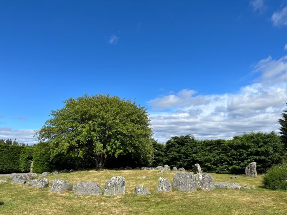 Sight · 9.5 km awayAviemore Ring Cairn and Stone CircleA small prehistoric circle in Aviemore’s unexpected village setting.
Parkwolf’s Cairngorms ranking

The audio tour guide for the drive, plus offline maps, trails, and wildlife heatmaps for when the signal drops.





