Parking
Ardvonie car park is on Gynack Road in central Kingussie, just behind the Duke of Gordon Hotel. It is described as a large car park with toilets and local path information.

Cairngorms National Park, SC
A long moorland loop from Kingussie to a broad Corbett summit.
Overview
Map & elevation
Plan your hike

The highest, rockiest slopes around here are a summer buffet for grizzly bears.
Cairngorms Tour Guide
Parkwolf is a GPS audio tour guide for Cairngorms National Park. As you drive, it chimes in with what’s ahead: hidden gems, upcoming stops, history, geology, and wildlife, right through your car’s speakers.
See the Cairngorms audio tourRecorded for this trailhead
Kingussie and Creag Bheag“You're nearing Ardvonie car park in Kingussie, the starting point for Creag Bheag. Choose this for a hilltop view over the town and Spey valley, with a stone shelter where you can sit at the summit.”
Plays as you drive up to this trailhead in the Parkwolf Cairngorms Tour Guide.
More stories near here in the app
“Fantastic app with many points of information… It’s great to just turn on while you’re driving and it gives you an audio tour of the national Park. We love it!!!!”


Trail guide
Càrn an Fhreiceadain from Kingussie is an about 11.3-mile (18 km) loop from Ardvonie car park. It climbs about 682 m over Beinn Bhreac (843 m) to the 878 m summit, then returns by the Allt Mòr side and Loch Gynack. Most of the day is on stony estate tracks, with long open stretches across heather moor. Allow four to five hours; this is a sustained hill walk, not a quick viewpoint detour. The reward is open high ground and broad views across Strathspey and the Monadhliath.
From Ardvonie, head uphill on Gynack Road and turn onto the signed Gynack Mill Trail, crossing a bridge and climbing steps. Turn left onto the road and follow it across part of the golf course and onto the estate track. Beside Gynack Burn, cross to its east bank at the wooden bridge, pass Pitmain Lodge, then stay on the signed track upstream instead of taking the bridge across the burn at Pitmain. Gates mark the change from the lower wooded ground to open moor.
The stony track climbs over heather, curves right and steepens past Green Bothy, a grouse-shooters’ hut. Keep an eye out for mountain hares on this slope. From Beinn Bhreac’s small cairn at 843 m, the view opens over the Monadhliath. The route dips past a large stone, then climbs northwest to Càrn an Fhreiceadain at 878 m. A tall cairn just downhill to the west has a wide view over Strathspey and south. The ridge is open and feels remote even though the route follows a clear track.
Follow the track as it curves south toward Allt Mòr. It crosses a bridge, climbs the far side of the gully, then descends past a stand of pines. Creag Bheag comes into view ahead, with Loch Gynack below it. After a gate into the woods, turn left at the maintenance shed to cross a bridge; on the far side, turn right to rejoin the outward track. Near the first house on the way back, take the signed steps and bridge down to the road and return to Ardvonie.
Wildlife
 159 sightingsRed DeerMost seen around 7 AMSighting map
 63 sightingsReindeerMost seen around 6 PMSighting map
 102 sightingsOspreyMost seen around 5 PMSighting map
 37 sightingsBlack GrouseMost seen around 4 AMSighting map
 72 sightingsRed GrouseMost seen around 6 PMSighting map
 82 sightingsPine MartenMost seen around 9 PMSighting map
Sighting maps show where each species has been reported across Cairngorms. Wildlife moves, so no sighting is guaranteed.
Keep exploring
 ModerateKingussie and Newtonmore via Loch Gynack11.4 km · 3 hr · At the trailheadA loch-and-moor loop linking Kingussie and Newtonmore.
 ChallengingCreag Bheag Trail5.5 km · 2.8 hr · At the trailheadA steep Kingussie loop to a summit shelter and wide views.
 ModerateGolf Course Circular, Kingussie4.5 km · 2 hr · At the trailheadFollow Gynack Burn to a Highland loch on a compact waymarked loop.
 EasyGynack Mill Trail2 km · 1 hr · At the trailheadA short Kingussie loop beside a burn that powered its mills.
 ModerateTom Baraidh5.5 km · 2 hr · At the trailheadA pinewood loop with an outlook across Kingussie.
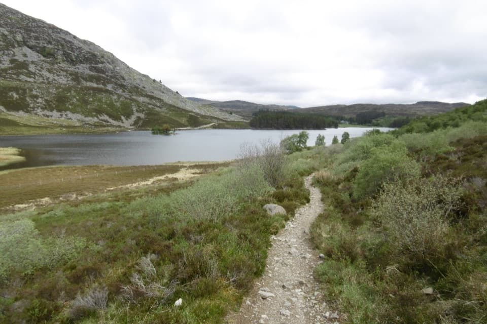 ChallengingCurlew Trail, Kingussie to Newtonmore8 km · 3.5 hr · At the trailheadA rough hill crossing links Kingussie and Newtonmore via Loch Gynack.
 ModerateWest Terrace Circular2.4 km · 1.5 hr · At the trailheadA short woodland loop with Spey valley views above Kingussie.
 EasyGlebe Ponds Walk, Kingussie0.5 km · 15 min · 0.8 km awayAn easy, accessible pond loop with ducks, benches and summer flowers.
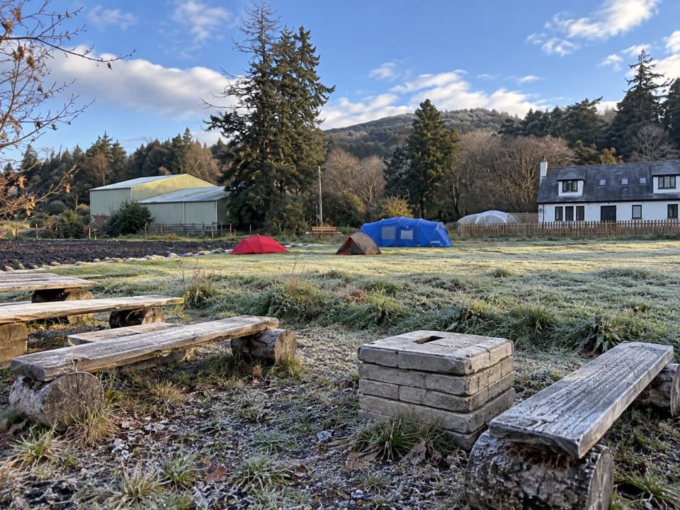 Campground · 0.4 km awayKingussie Camping & AireA practical motorhome stop beside Kingussie station.
 Sight · 1.3 km awayRuthven BarracksCulloden's aftermath is written into these roofless barracks.
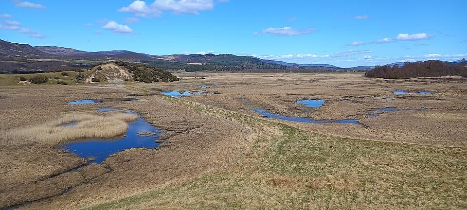 Sight · 2.2 km awayInsh MarshesA slow walk earns bird hides and wide floodplain views.
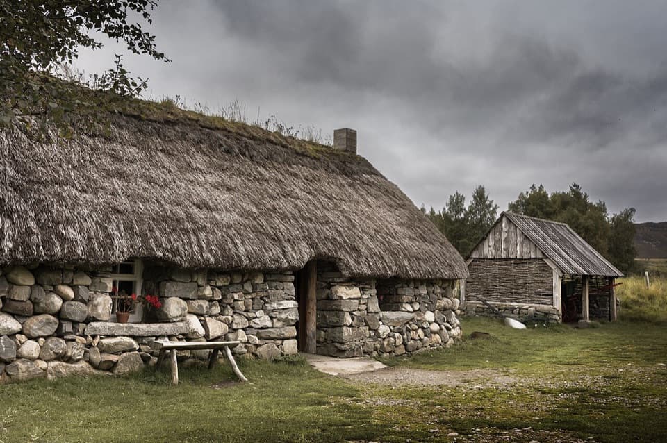 Sight · 2.8 km awayHighland Folk MuseumA reconstructed township and over 35 Highland buildings to explore.
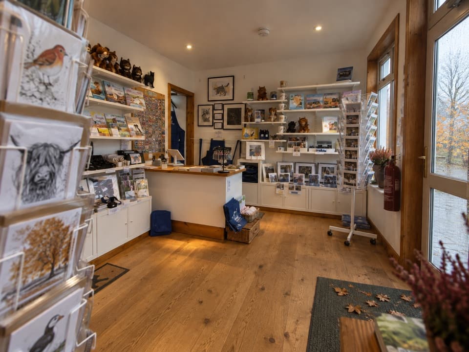 Visitor center · 4.3 km awayThe Wildcat CentrePick up a map and hunt Newtonmore’s 132 painted wildcats.
 Sight · 4.6 km awayClan Macpherson MuseumClan stories, Jacobite objects and music in a village museum.
 Sight · 6.1 km awayHighland Wildlife ParkSee the reserve by car, then explore the animal habitats on foot.
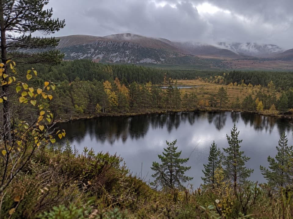 Sight · 8.1 km awayUath LochansSmall woodland lochs, with a steep climb to Strathspey views.
Parkwolf’s Cairngorms ranking

The audio tour guide for the drive, plus offline maps, trails, and wildlife heatmaps for when the signal drops.





