Parking
Limited roadside layby beside Glebe Ponds; additional on-street parking along the main road; Spey Street car park about 500 m away.

Cairngorms National Park, SC
An easy, accessible pond loop with ducks, benches and summer flowers.
Overview
Glebe Ponds is a short, accessible circuit from the east end of Kingussie High Street. The full walk is about 0.34 mi (0.54 km): go down to the ponds, circle them, then retrace the short approach. Allow about 15 minutes. The pond path itself is wide, level, firm and smooth, but the approach has one short moderate slope. I'd choose it for a gentle pause near town, not for a longer hike. The published length is rounded to 0.5 km and a quarter mile.
 Parkwolf’s verdictIs this the walk for you?
Map & elevation
Plan your hike

The highest, rockiest slopes around here are a summer buffet for grizzly bears.
Cairngorms Tour Guide
Parkwolf is a GPS audio tour guide for Cairngorms National Park. As you drive, it chimes in with what’s ahead: hidden gems, upcoming stops, history, geology, and wildlife, right through your car’s speakers.
See the Cairngorms audio tourRecorded for this area
Kingussie and Creag Bheag“You're nearing Ardvonie car park in Kingussie, the starting point for Creag Bheag. Choose this for a hilltop view over the town and Spey valley, with a stone shelter where you can sit at the summit.”
Plays on the road 0.7 km from the trailhead in the Parkwolf Cairngorms Tour Guide.
More stories near here in the app
“Fantastic app with many points of information… It’s great to just turn on while you’re driving and it gives you an audio tour of the national Park. We love it!!!!”


Trail guide
From the pavement, follow the slope past the painted wooden sign to the table and benches. Keep the water on your left around the easy-to-follow compacted path; there are no waymarkers, but only one junction on the main circuit. Stay on the main path there, return to the first table, then retrace the entrance path to High Street.
Halfway around, a narrow grassy path climbs a short moderate slope to a picnic area with benches, a table and views over the ponds. Come back the same way; that spur is not in the 0.34-mile figure. The nearby boardwalk branch is a separate alternative, and the path beyond it is narrow and grassy, so it is not part of the mapped circuit. Ducks live here, and wetland flowers bloom in summer.
The roadside layby at the ponds has limited spaces. There is more on-street parking along the main road, and Spey Street car park is about 500 m away. Buses stop close by: roughly 50 m eastbound and 100 m westbound. The nearest listed toilets are at Caberfeidh Horizons, with an accessible toilet and changing space about 0.75 km away, and Ardvonie public toilets about 1 km away; check availability before relying on them.
Wildlife
 159 sightingsRed DeerMost seen around 7 AMSighting map
 63 sightingsReindeerMost seen around 6 PMSighting map
 102 sightingsOspreyMost seen around 5 PMSighting map
 37 sightingsBlack GrouseMost seen around 4 AMSighting map
 72 sightingsRed GrouseMost seen around 6 PMSighting map
 82 sightingsPine MartenMost seen around 9 PMSighting map
Sighting maps show where each species has been reported across Cairngorms. Wildlife moves, so no sighting is guaranteed.
Keep exploring
 ChallengingCreag Bheag Trail5.5 km · 2.8 hr · 0.8 km awayA steep Kingussie loop to a summit shelter and wide views.
 ModerateGolf Course Circular, Kingussie4.5 km · 2 hr · 0.8 km awayFollow Gynack Burn to a Highland loch on a compact waymarked loop.
 EasyGynack Mill Trail2 km · 1 hr · 0.8 km awayA short Kingussie loop beside a burn that powered its mills.
 ModerateTom Baraidh5.5 km · 2 hr · 0.8 km awayA pinewood loop with an outlook across Kingussie.
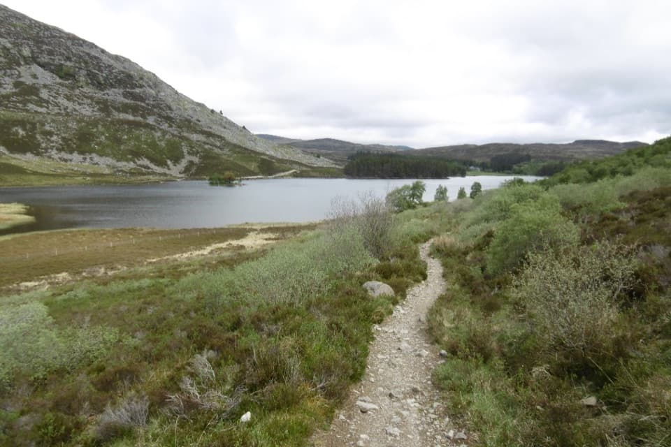 ChallengingCurlew Trail, Kingussie to Newtonmore8 km · 3.5 hr · 0.8 km awayA rough hill crossing links Kingussie and Newtonmore via Loch Gynack.
 ModerateWest Terrace Circular2.4 km · 1.5 hr · 0.8 km awayA short woodland loop with Spey valley views above Kingussie.
 ModerateCàrn an Fhreiceadain from Kingussie18.2 km · 4.5 hr · 0.8 km awayA long moorland loop from Kingussie to a broad Corbett summit.
 ModerateKingussie and Newtonmore via Loch Gynack11.4 km · 3 hr · 0.8 km awayA loch-and-moor loop linking Kingussie and Newtonmore.
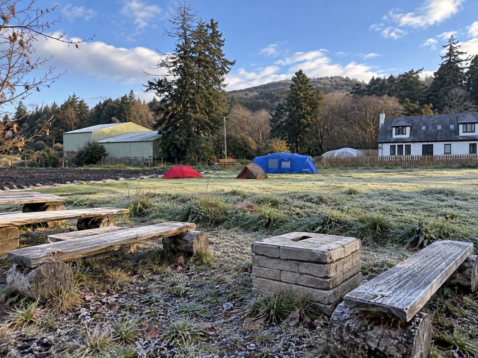 Campground · 1.1 km awayKingussie Camping & AireA practical motorhome stop beside Kingussie station.
 Sight · 1.1 km awayRuthven BarracksCulloden's aftermath is written into these roofless barracks.
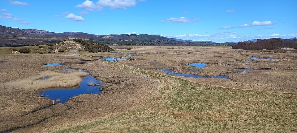 Sight · 1.6 km awayInsh MarshesA slow walk earns bird hides and wide floodplain views.
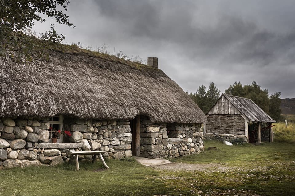 Sight · 3.5 km awayHighland Folk MuseumA reconstructed township and over 35 Highland buildings to explore.
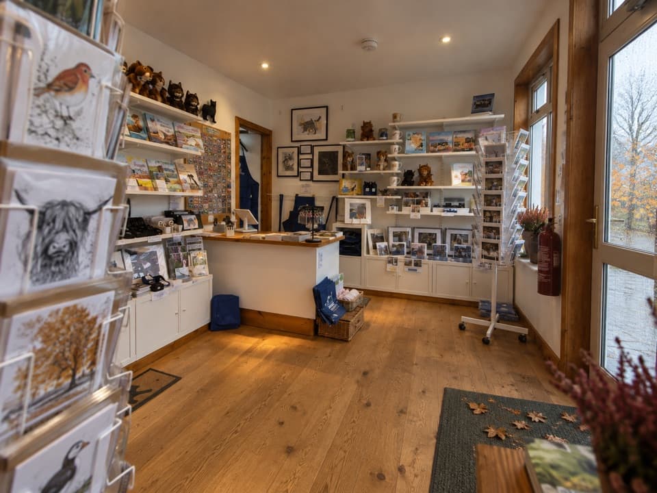 Visitor center · 5.1 km awayThe Wildcat CentrePick up a map and hunt Newtonmore’s 132 painted wildcats.
 Sight · 5.4 km awayClan Macpherson MuseumClan stories, Jacobite objects and music in a village museum.
 Sight · 5.4 km awayHighland Wildlife ParkSee the reserve by car, then explore the animal habitats on foot.
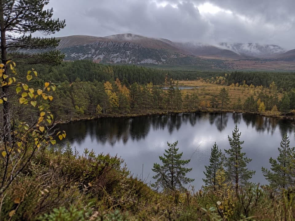 Sight · 7.3 km awayUath LochansSmall woodland lochs, with a steep climb to Strathspey views.
Parkwolf’s Cairngorms ranking
The audio tour guide for the drive, plus offline maps, trails, and wildlife heatmaps for when the signal drops.





