Parking
Begin at the Crathie car park beside the A93. Do not park on Distillery Road at Easter Balmoral; parking is not permitted there.
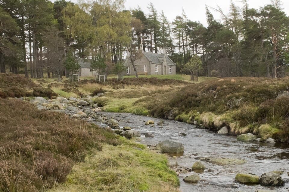
Cairngorms National Park, SC
A roughly 14-mile Balmoral loop to a bothy and two rocky summits.
Overview
Map & elevation
Plan your hike

The highest, rockiest slopes around here are a summer buffet for grizzly bears.
Cairngorms Tour Guide
Parkwolf is a GPS audio tour guide for Cairngorms National Park. As you drive, it chimes in with what’s ahead: hidden gems, upcoming stops, history, geology, and wildlife, right through your car’s speakers.
See the Cairngorms audio tourRecorded for this trailhead
Balmoral at Crathie“You're nearing Crathie, the stopping point for Balmoral Castle and its gardens.”
Plays as you drive up to this trailhead in the Parkwolf Cairngorms Tour Guide.
More stories near here in the app
“Fantastic app with many points of information… It’s great to just turn on while you’re driving and it gives you an audio tour of the national Park. We love it!!!!”


Trail guide
Conachcraig and Gelder Shiel is a roughly 14-mile loop from Crathie to Gelder Shiel Stable, Conachcraig and Caisteal na Caillich. Allow 6–7 hours for about 679 m of ascent. It is a demanding hill day, with a long track approach, boggy ground beside the river and a pathless summit descent.
Start from the Crathie car park and check Balmoral Estate access and deer-stalking advice before you go; restrictions can affect this route, especially in autumn and early winter. Pack food and water for the full loop. Dogs can accompany walkers under Scotland’s access rights; keep them under control around livestock and wildlife.
Cross the Dee by the bridge and pass Balmoral’s entrance and golf course. Follow the Royal Lochnagar Distillery road through Easter Balmoral, then climb past the checkpoint and into the forest. At the track junction turn left, ignore the branch for Prince Albert’s Cairn, and stay on the main track toward Gelder Shiel. Lochnagar comes into view as the trees thin and stays visible for much of the walk.
Gelder Shiel Stable is a bothy stop, not a staffed service. After the buildings, cross the river and follow its east bank on a narrow path that is heather-overgrown and boggy in places. After about 1.5 km it bends across open moorland to a Land Rover track. Take rubbish away and leave the bothy ready for the next visitor.
Follow the track west of Conachcraig for about 3 km to a small cairn, then climb through heather and boulders to the 865 m rocky top. Continue toward the 850 m top and pass just left of it to reach Caisteal na Caillich. The return descends northwest over pathless heather and scattered boulders to a Land Rover track. At the junction with the outward route, keep right rather than retracing the bothy spur, then follow estate tracks back to Crathie.
Wildlife
 159 sightingsRed DeerMost seen around 7 AMSighting map
 63 sightingsReindeerMost seen around 6 PMSighting map
 102 sightingsOspreyMost seen around 5 PMSighting map
 37 sightingsBlack GrouseMost seen around 4 AMSighting map
 72 sightingsRed GrouseMost seen around 6 PMSighting map
 82 sightingsPine MartenMost seen around 9 PMSighting map
Sighting maps show where each species has been reported across Cairngorms. Wildlife moves, so no sighting is guaranteed.
Keep exploring
 ModerateBalmoral Cairns Walk9.7 km · 2.8 hr · At the trailheadA hill circuit linking royal cairns, pine paths and a stone pyramid.
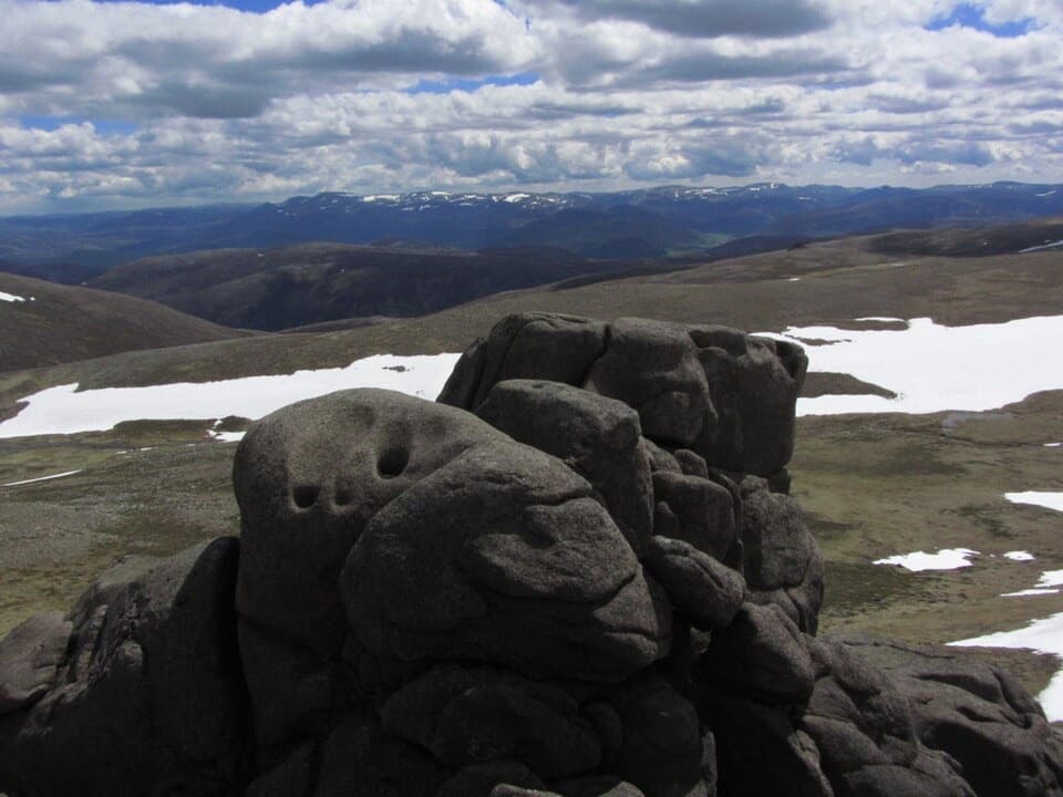 ChallengingBen Avon via Gleann an t-Slugain33.4 km · 9.5 hr · 8.3 km awayA long glen walk to Ben Avon’s exposed, tor-studded summit plateau.
 ModerateBallochbuie Forest and Garbh Allt Falls9 km · 2.5 hr · 8.3 km awayA forest loop to waterfalls, old bridges and a royal lunch hut.
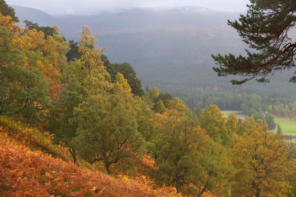 ModerateAround Craig Leek Loop8.4 km · 2.3 hr · 8.3 km awayFollow an old drove road to a low pass and Lochnagar views.
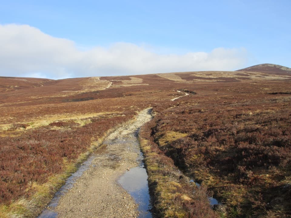 ChallengingMount Keen Through-Route from Bridge of Muick to Invermark21 km · 7 hr · 10.3 km awayA long, rough historic crossing through the Mounth
 ModerateCambus o’May Circular12.5 km · 4.5 hr · 10.7 km awayFollow the river to a 1905 suspension bridge and loop back.
 ModeratePannanich Woods Circular3.2 km · 1.3 hr · 10.7 km awayA short Ballater woodland loop past a wartime Canadian lumber camp.
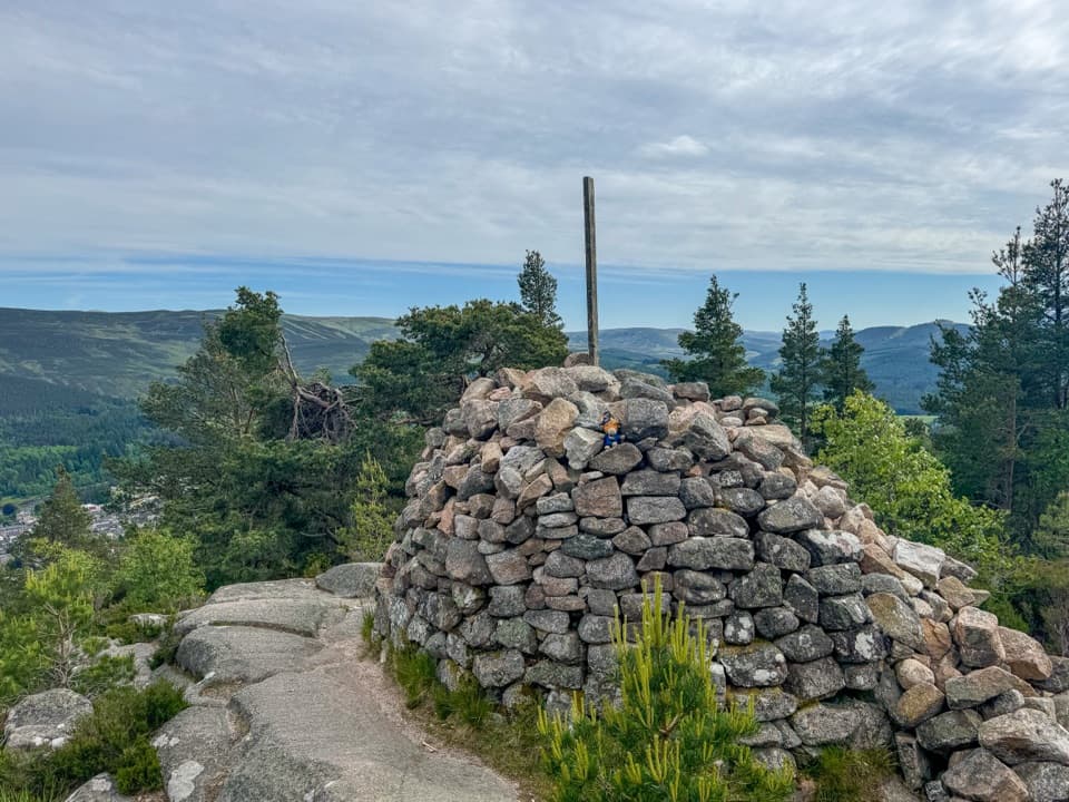 ChallengingCraigendarroch Summit Trail3.5 km · 2 hr · 10.7 km awaySteep oakwood climb to a summit cairn and views over Ballater
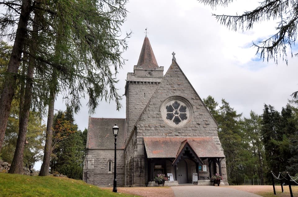 Sight · 0.3 km awayCrathie KirkA royal parish church above the Dee, near Balmoral.
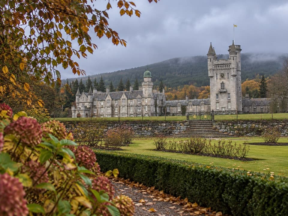 Sight · 0.8 km awayBalmoral Castle & EstateCastle turrets, formal gardens, and a royal Highland story.
 Sight · 1.2 km awayRoyal Lochnagar DistilleryA working distillery with royal history and cask tastings.
 Sight · 1.5 km awayPrince Albert’s CairnA stone pyramid rewards a steep walk above Balmoral.
 Sight · 6.7 km awayGairnshiel BridgeA humpback stone arch beside the modern A939 crossing.
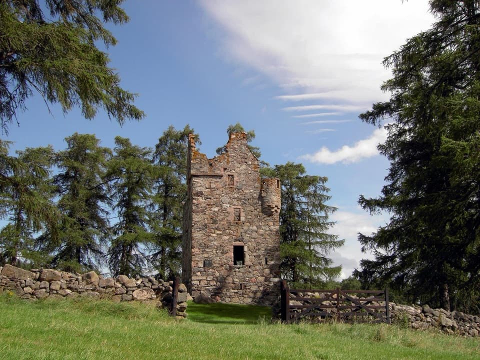 Sight · 8.9 km awayKnock CastleA roofless Gordon tower above Ballater, with a surviving spiral stair.
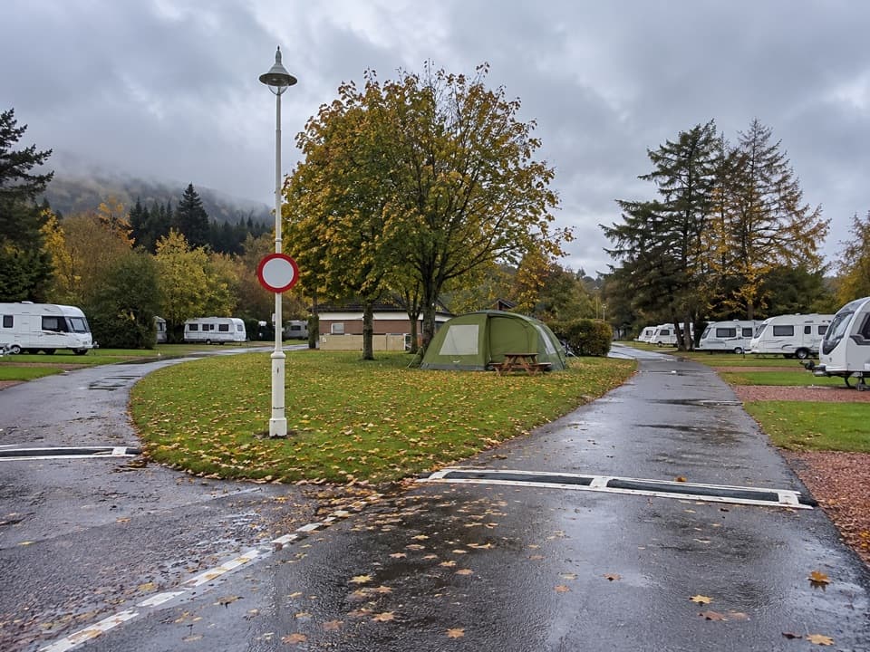 Campground · 10.7 km awayBallater Caravan ParkPitch beside the Dee, then walk into Ballater.
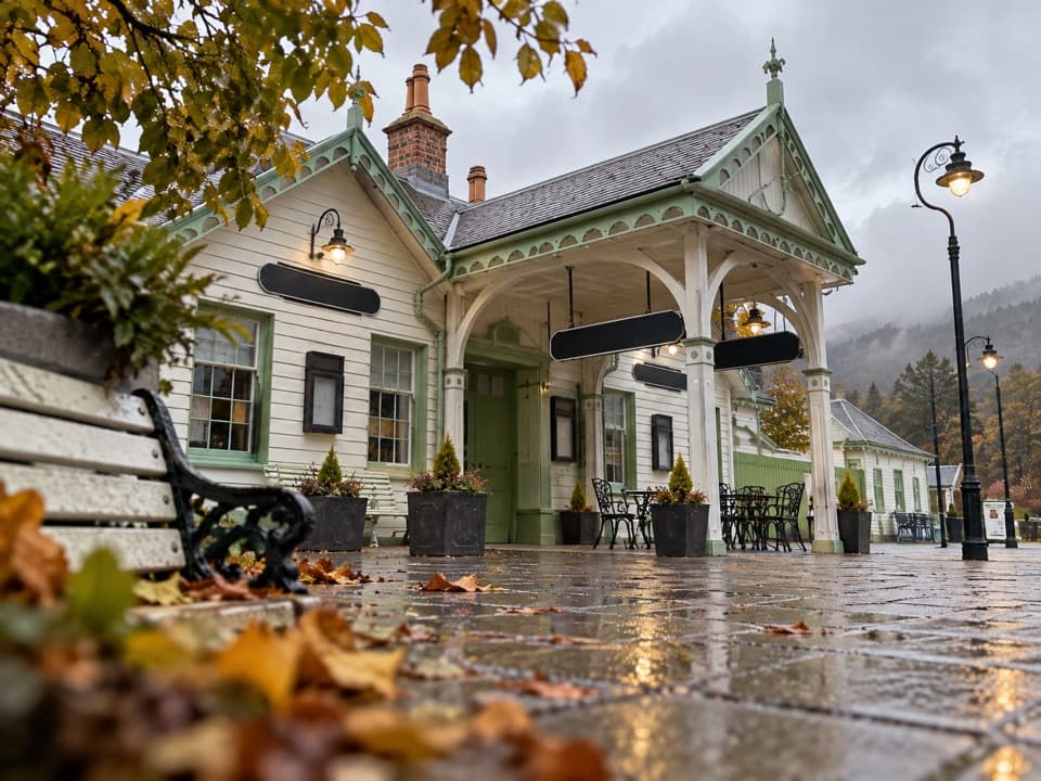 Sight · 10.7 km awayBallater Old Royal StationA replica royal carriage, station history and a café under one roof.
Parkwolf’s Cairngorms ranking

The audio tour guide for the drive, plus offline maps, trails, and wildlife heatmaps for when the signal drops.





