Parking
No dedicated parking at the Laggan start was verified. Arrange lawful parking and a pickup in Fort Augustus; leave vehicles before the military road.
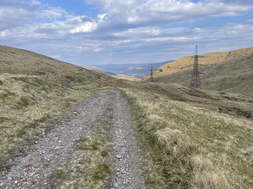
Cairngorms National Park, SC
Follow General Wade’s 1731 road across the Monadhliath.
Overview
Map & elevation
Plan your hike

The highest, rockiest slopes around here are a summer buffet for grizzly bears.
Cairngorms Tour Guide
Parkwolf is a GPS audio tour guide for Cairngorms National Park. As you drive, it chimes in with what’s ahead: hidden gems, upcoming stops, history, geology, and wildlife, right through your car’s speakers.
See the Cairngorms audio tourRecorded for this trailhead
Laggan and Corrieyairack Pass“You're coming up on Laggan, the eastern starting point for walking Corrieyairack Pass. General Wade's troops built this military road in seventeen thirty-one, with stone bridges and zigzags across the Monadhliath.”
Plays as you drive up to this trailhead in the Parkwolf Cairngorms Tour Guide.
More stories near here in the app
“Fantastic app with many points of information… It’s great to just turn on while you’re driving and it gives you an audio tour of the national Park. We love it!!!!”


Trail guide
Corrieyairack Pass is a point-to-point crossing of the Monadhliath, following General Wade’s old military road from Laggan to Fort Augustus. The full route is 39.5 km (24.5 miles) one way, with about 732 m of climbing; allow 10–12 hours. It is a remote full-day walk on road, track and rough open ground, with a high pass and a long finish into town. Arrange your onward transport before you set out: Fort Augustus is the destination, not a loop back to Laggan.
Leave Laggan on the minor road signed for Gargask and Garva, passing Blairgie and following the Spey and its reservoir. Garva Bridge is about 11 km from the start. This stone bridge dates to 1731; beyond it, the road continues across the reservoir embankments before the public road ends near a ford and road-closed sign. Cross the bridge beside the ford and continue on the unsurfaced track. The first part is a long approach, and the full route can be shortened by about 17 km by starting near Melgarve instead.
Past Melgarve Bothy, the track crosses the Allt a’Mhuill Ghairbh on a bridge, then a smaller burn by a ford before climbing the Coire Yairack in a sustained series of hairpins. A small concrete hut sits near the watershed, but that is not the top: continue to the cairn on the broad ridge of Meallan Odhar Beag, above 770 m. The route is open and exposed here, with wide views toward Ben Tee and the Monadhliath. The overhead transmission line stays in sight for much of the crossing.
The old road drops across the west flank by steep zigzags, then crosses an old Wade bridge beside a modern bridge at Allt Coire Uchdachan and a metal bridge at Allt Lagan a’ Bhainne. Black Burn is a ford; boulders can help in ordinary flow, but expect wet feet if the water is high. Blackburn Bothy is a short detour upstream, while Melgarve Bothy may be locked, so do not plan on either as guaranteed overnight shelter.
Loch Ness and Fort Augustus come into view on the later descent. At Connachie Burn, keep right on the original military road rather than following the branch beside the burn. Continue by the deer fence and power-line track to the signed path near Culachy House, then on toward Fort Augustus through the old Cill Chuimein burial ground, along the riverside lane and onto the A82 pavement. For a photo, turn back above the western zigzags and frame the engineered curves against the open hills; farther down, the track looks toward Loch Ness.
Hanoverian troops under General Wade built the military road in 1731, but a route across the pass appears on a 1725 map and was used by drovers moving cattle south from Skye. Prince Charles Edward Stuart crossed south in 1745 after raising his standard at Glenfinnan. Garva Bridge was Wade’s first double-arched bridge; he called it St George’s Bridge. Most of the old road became a scheduled monument in 1994. A 1946 aqueduct for the Spey Dam cut one older section away from the line walkers now follow.
No dedicated parking at the Laggan start was verified, and there is no return to your starting point in the route itself. Arrange lawful parking and a transfer from Fort Augustus before beginning; the military road is not maintained as a public road for vehicles. No food stops or toilets were identified along the crossing. Dogs may accompany walkers under Scotland’s responsible-access rules, but must stay under proper control.
Wildlife
 159 sightingsRed DeerMost seen around 7 AMSighting map
 63 sightingsReindeerMost seen around 6 PMSighting map
 102 sightingsOspreyMost seen around 5 PMSighting map
 37 sightingsBlack GrouseMost seen around 4 AMSighting map
 72 sightingsRed GrouseMost seen around 6 PMSighting map
 82 sightingsPine MartenMost seen around 9 PMSighting map
Sighting maps show where each species has been reported across Cairngorms. Wildlife moves, so no sighting is guaranteed.
Keep exploring
 ModerateGorstean Trail4.2 km · 1.5 hr · 1 km awayA firm gravel forest path shared with mountain bikers
 ModerateDun da Lamh Fort Trail7.2 km · 3 hr · 2.9 km awayClimb Laggan woodland to an Iron Age fort with wide Highland views.
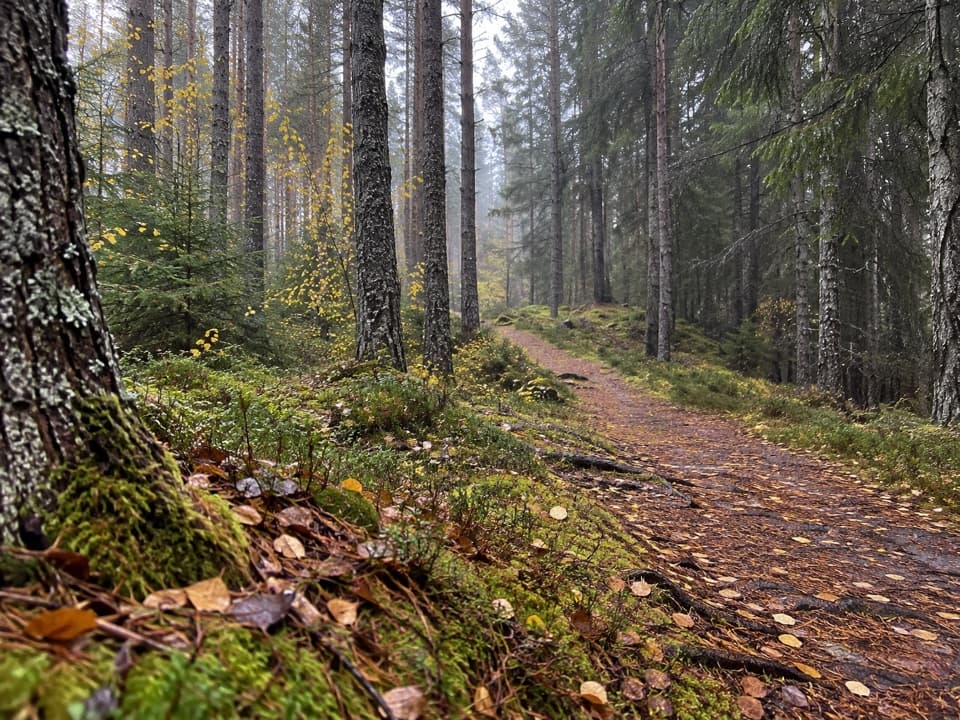 ModerateSpruce and Squirrel Trail, Laggan2.2 km · 45 min · 3 km awayFollow red waymarks and look for pine cones nibbled by squirrels.
 ChallengingGlen Markie Track25 km · 8.5 hr · 3.1 km awayLaggan’s old northbound track becomes a rough 25 km crossing.
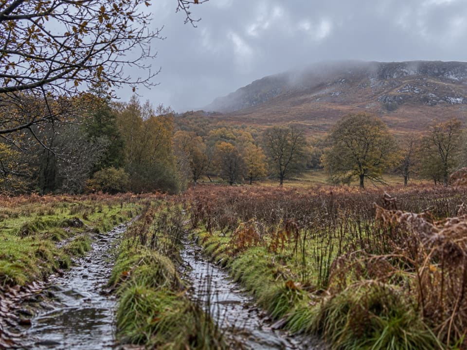 ModerateAllt Mhoraich Circuit5.6 km · 2.5 hr · 4.5 km awayA rough moorland loop where the track fades beneath the crags.
 ModerateDruim an Aird Township Trail4.4 km · 1.8 hr · 6.2 km awayFollow yellow markers through woodland to a ruined township.
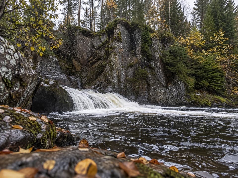 EasyLower Pattack Falls Stroll0.2 km · 15 min · 6.2 km awayA short woodland path to the Pattack’s lower cascade.
 ModerateGlentruim Forest Loop2.9 km · 1.5 hr · 6.3 km awayA blue-waymarked forest loop past the Centre of Scotland Stone.
 Sight · 3 km awayLaggan WolftraxOver 20 forest miles, from beginner greens to one unforgiving black.
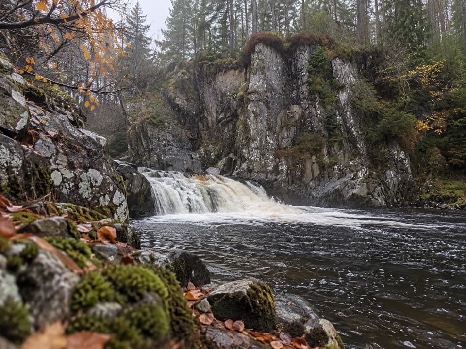 Sight · 6.3 km awayPattack FallsShort woodland walk to cascades in a rocky gorge.
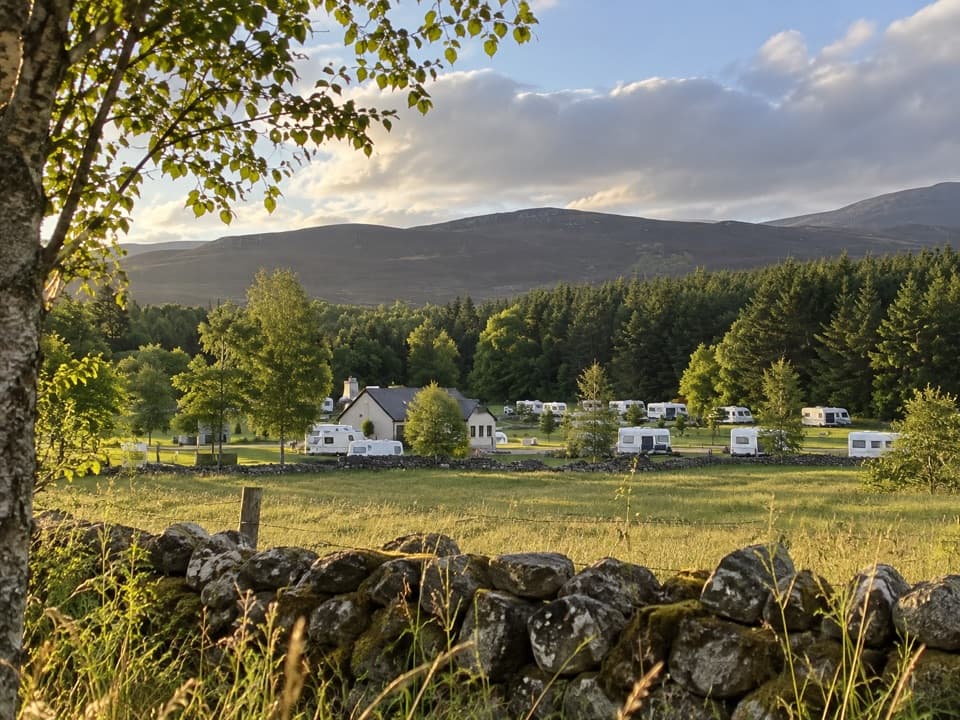 Campground · 7.2 km awayInvernahavon Caravan ParkRoomy pitches, hot showers and wooded Highland views.
 Sight · 9.2 km awayDalwhinnie DistilleryWhisky tours and tastings at a Highland distillery 355 metres up.
 Sight · 10.8 km awayClan Macpherson MuseumClan stories, Jacobite objects and music in a village museum.
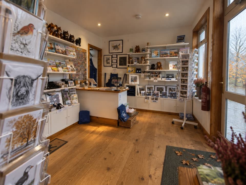 Visitor center · 11.1 km awayThe Wildcat CentrePick up a map and hunt Newtonmore’s 132 painted wildcats.
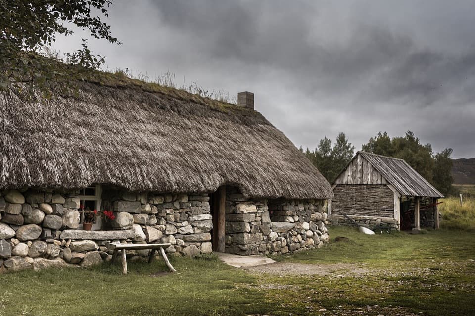 Sight · 12.6 km awayHighland Folk MuseumA reconstructed township and over 35 Highland buildings to explore.
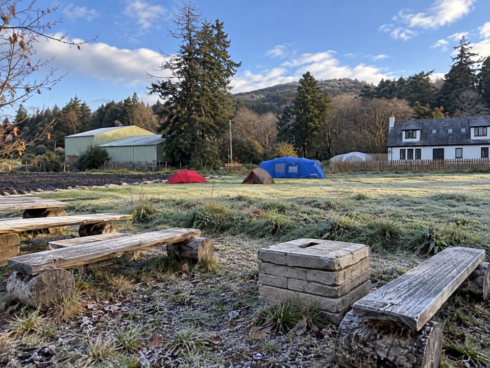 Campground · 15.1 km awayKingussie Camping & AireA practical motorhome stop beside Kingussie station.
Parkwolf’s Cairngorms ranking

The audio tour guide for the drive, plus offline maps, trails, and wildlife heatmaps for when the signal drops.





