Parking
Entrance car park off the B970, about 1 km east of Ruthven Barracks: 12 spaces, including 2 Blue Badge spaces. Public transport does not reach the start. Parking fee is not stated in the current facilities information.

Cairngorms National Park, SC
Hides, marsh pools and a quiet ridge make this a varied loop.
Overview
Invertromie is a circular nature-reserve walk from the car park at Insh Marshes. It crosses open floodplain, a gentle birch ridge and meadow beside the River Tromie before looping back through woodland. Allow about 2 hours for 4.5 km (about 2.8 miles) and 89 m of ascent. Published mile figures differ: 4.5 km converts to 2.8 miles, though one description rounds it to 2.75 miles and another to 3. Short hide and viewpoint spurs can add distance. The main payoff is a changing view over a broad wetland, with hides, a ridge seat and river scenery along the way.
 Parkwolf’s verdictIs this the walk for you?
Map & elevation
Plan your hike

The highest, rockiest slopes around here are a summer buffet for grizzly bears.
Cairngorms Tour Guide
Parkwolf is a GPS audio tour guide for Cairngorms National Park. As you drive, it chimes in with what’s ahead: hidden gems, upcoming stops, history, geology, and wildlife, right through your car’s speakers.
See the Cairngorms audio tourRecorded for this trailhead
Insh Marshes at Invertromie“You're coming up on Insh Marshes at Invertromie, a good stop for patient birdwatching across the Spey floodplain. Start with the Lookout near the car park for a broad view over the pools and reed beds.”
Plays as you drive up to this trailhead in the Parkwolf Cairngorms Tour Guide.
More stories near here in the app
“Fantastic app with many points of information… It’s great to just turn on while you’re driving and it gives you an audio tour of the national Park. We love it!!!!”


Trail guide
From the back of the car park, optional paths lead to nearby hides before the main trail turns right at a fork. Follow the smaller path by a wooden barrier, then the fence and a small bridge; a stepped spur drops to Invertromie Hide. The route climbs through grass and a gate into narrow birch woodland. At a signed junction, the left spur reaches a viewpoint and picnic table; the loop continues right, following white arrows to a ridge seat. Heather colours the ridge in late summer and autumn. Descend through birch trees, then past a wall and gates to Tromiebridge meadow and the River Tromie. At the B970, do not follow the road: take the broad Speyside Way path to the right, then follow the woodland path back toward the car park.
Insh Marshes spreads across about 10 square kilometres of the Spey floodplain between Kingussie and Kincraig. Natural flooding changes the pools and reflections from visit to visit. Curlew, lapwing, redshank and snipe breed here; ducks, geese, swans, buzzards and osprey may also be seen, but sightings depend on season and luck. The meadow by the river is noted for orchids and butterflies, while roe deer and autumn fungi are possible in the woodland. Habitat work is restoring areas affected by drainage and grazing, with light grazing and removal of non-native plants in some places.
The reserve has a roof-terrace lookout near the start and a stepped spur to Invertromie Hide. Reserve facilities describe two hides on this trail and say they are available in spring and summer; route directions also describe an optional Gordonhall Hide near the car park. It is not clear whether every published distance includes that extra spur, so check the trail board and allow more time if you add it. The clearest marsh views are from the lookout and ridge; shallow pools, reeds and the hills beyond make a good wide view when the light opens.
The entrance car park is off the B970, about 1 km east of Ruthven Barracks. It has 12 spaces, including 2 Blue Badge spaces; no public transport reaches the start. There are no toilets, cafe or shop on site. Food and accessible toilets are in Kingussie, about 1.5 miles away; toilet opening can be seasonal. The reserve allows responsible public access. Keep dogs on a short lead from 1 April to 15 August and around livestock; assistance dogs are welcome. Paths are unsurfaced, narrow in places and soft or uneven, with some steps. For a shorter reserve walk, Lynachlaggan is about 2.5 km and Loch Insh Woods about 2 km.
Wildlife
 159 sightingsRed DeerMost seen around 7 AMSighting map
 63 sightingsReindeerMost seen around 6 PMSighting map
 102 sightingsOspreyMost seen around 5 PMSighting map
 37 sightingsBlack GrouseMost seen around 4 AMSighting map
 72 sightingsRed GrouseMost seen around 6 PMSighting map
 82 sightingsPine MartenMost seen around 9 PMSighting map
Sighting maps show where each species has been reported across Cairngorms. Wildlife moves, so no sighting is guaranteed.
Keep exploring
 ModerateRuthven Military Road11 km · 3.5 hr · 1.3 km awayFollow General Wade’s road past a surviving stone bridge.
 EasyGlebe Ponds Walk, Kingussie0.5 km · 15 min · 1.5 km awayAn easy, accessible pond loop with ducks, benches and summer flowers.
 ChallengingCreag Bheag Trail5.5 km · 2.8 hr · 2.1 km awayA steep Kingussie loop to a summit shelter and wide views.
 ModerateGolf Course Circular, Kingussie4.5 km · 2 hr · 2.1 km awayFollow Gynack Burn to a Highland loch on a compact waymarked loop.
 EasyGynack Mill Trail2 km · 1 hr · 2.1 km awayA short Kingussie loop beside a burn that powered its mills.
 ModerateTom Baraidh5.5 km · 2 hr · 2.1 km awayA pinewood loop with an outlook across Kingussie.
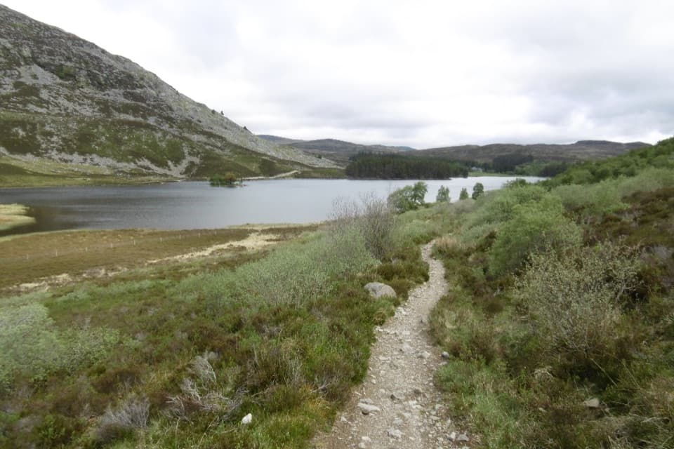 ChallengingCurlew Trail, Kingussie to Newtonmore8 km · 3.5 hr · 2.1 km awayA rough hill crossing links Kingussie and Newtonmore via Loch Gynack.
 ModerateWest Terrace Circular2.4 km · 1.5 hr · 2.1 km awayA short woodland loop with Spey valley views above Kingussie.
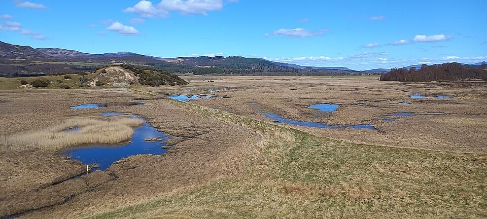 Sight · 0.1 km awayInsh MarshesA slow walk earns bird hides and wide floodplain views.
 Sight · 1 km awayRuthven BarracksCulloden's aftermath is written into these roofless barracks.
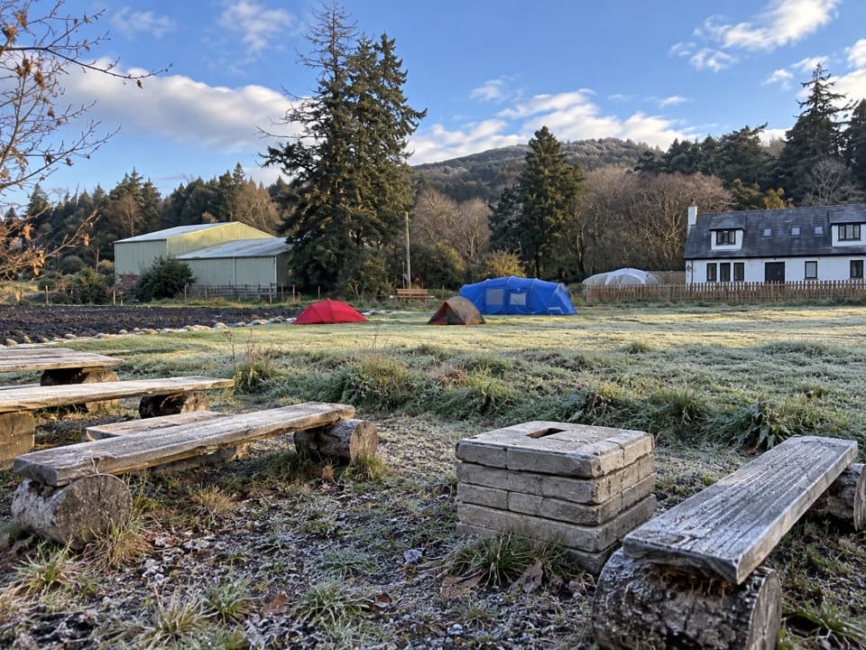 Campground · 2.2 km awayKingussie Camping & AireA practical motorhome stop beside Kingussie station.
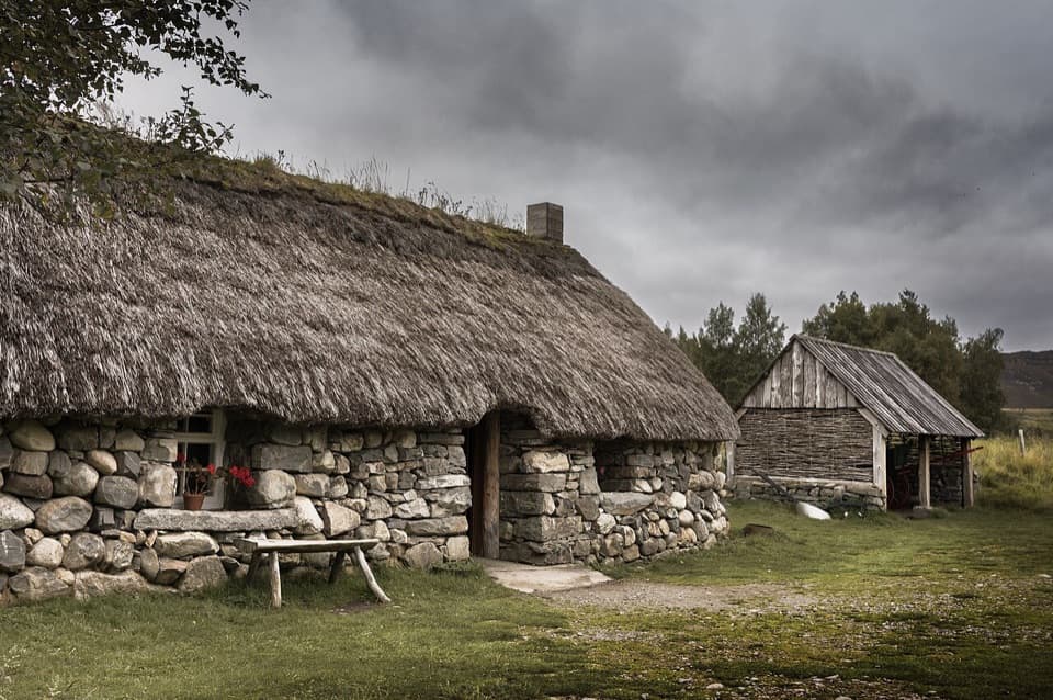 Sight · 4.5 km awayHighland Folk MuseumA reconstructed township and over 35 Highland buildings to explore.
 Sight · 5.2 km awayHighland Wildlife ParkSee the reserve by car, then explore the animal habitats on foot.
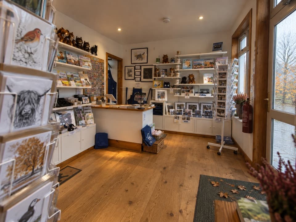 Visitor center · 5.9 km awayThe Wildcat CentrePick up a map and hunt Newtonmore’s 132 painted wildcats.
 Sight · 6.2 km awayClan Macpherson MuseumClan stories, Jacobite objects and music in a village museum.
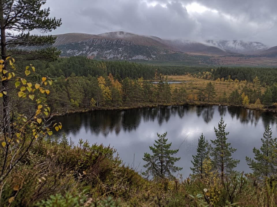 Sight · 6.5 km awayUath LochansSmall woodland lochs, with a steep climb to Strathspey views.
Parkwolf’s Cairngorms ranking
The audio tour guide for the drive, plus offline maps, trails, and wildlife heatmaps for when the signal drops.





